Plizio Visual Lab
Tinkisso Basin
Weather…
Water temperature…
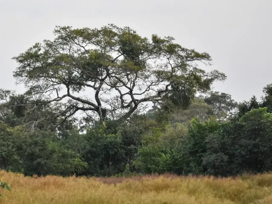
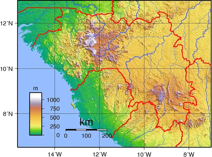
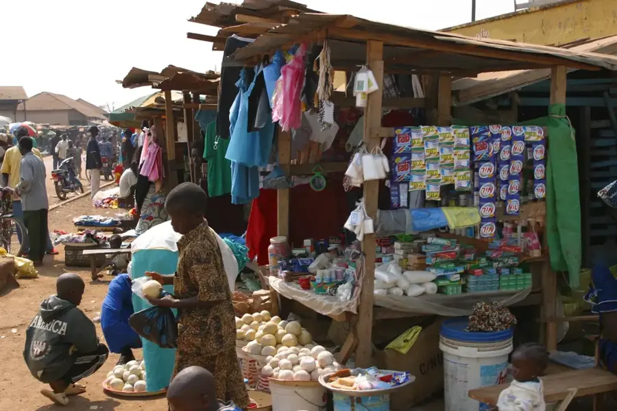
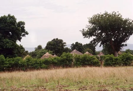
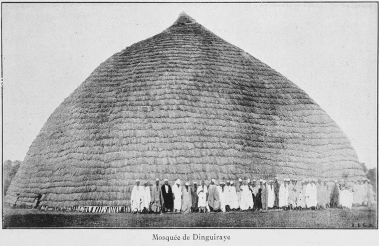
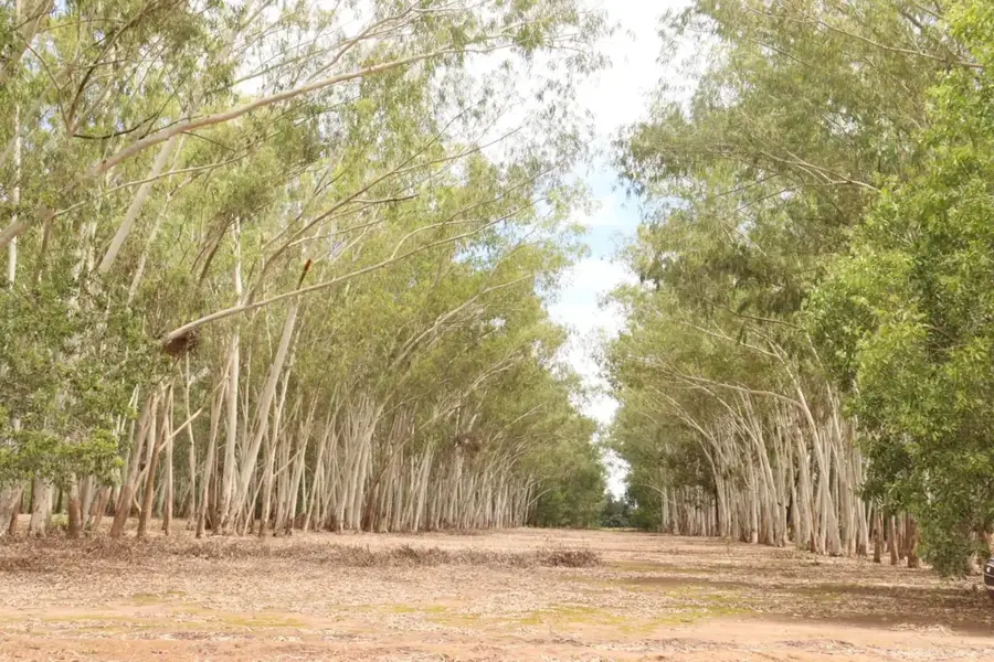
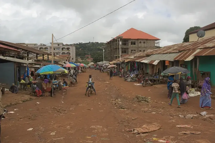
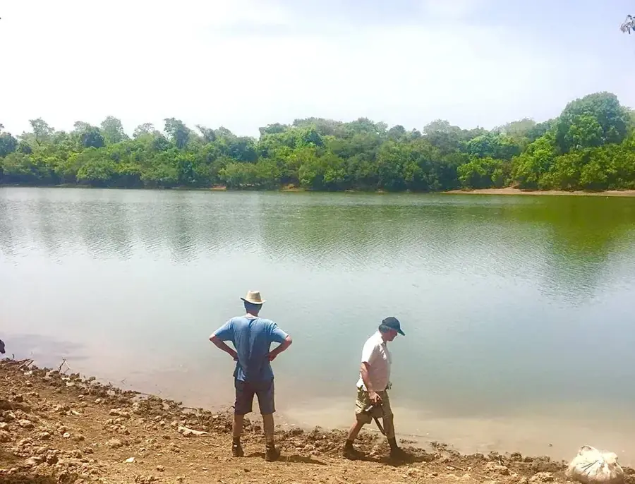
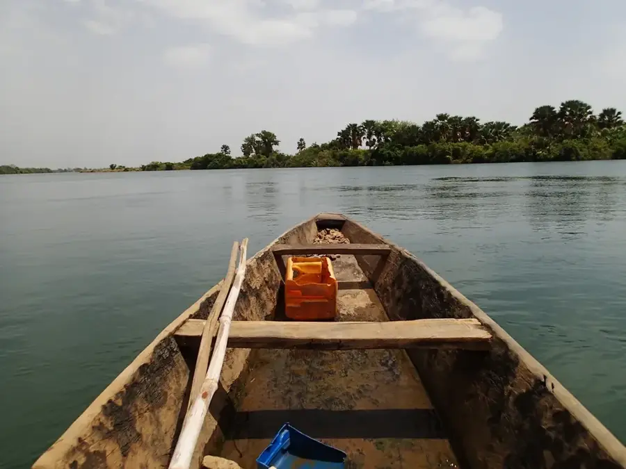
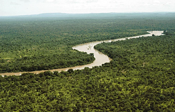
The Tinkisso Basin (Bassin du Tinkisso) is a large-scale hydro-geographic depression in central and northeastern Guinea that significantly shapes the regional relief. Geographically, the basin spans across the Dabola, Dinguiraye, and Siguiri Prefectures and is drained by the Tinkisso River, a major tributary of the Niger. The basin's relief is characterized by broad, gently sloping plains punctuated by isolated laterite hills (bowal) and granitic inselbergs. This depression forms a vital transition zone between the Fouta Djallon highlands and the expansive savannas of Upper Guinea. Historically, the Tinkisso Basin served as a strategic corridor for trade caravans and the spread of religious movements during the 19th century. Economically, the basin is the lifeblood of regional agriculture, particularly for large-scale rice farming and livestock rearing. Additionally, the basin's underlying geology contains significant gold deposits, which are extracted through both industrial and artisanal methods. Ecologically, the Tinkisso Basin features a mosaic of wet savannas and gallery forests that provide essential refuges for wildlife. For visitors, the basin's relief showcases the vast and open landscapes of central Guinea, defined by the shimmering course of the river and the characteristic reddish soil of the savanna.
- Location: Guinea
- Nearby: Dinguiraye (16 km)
Best time to visit & climate
The most pleasant time to visit is Jan, Nov, Dec.
| Jan | Feb | Mar | Apr | May | Jun | Jul | Aug | Sep | Oct | Nov | Dec | |
|---|---|---|---|---|---|---|---|---|---|---|---|---|
| Avg °C | 24 | 27 | 29 | 31 | 30 | 27 | 25 | 24 | 24 | 25 | 24 | 23 |
| Rain mm | 1 | 2 | 3 | 17 | 79 | 158 | 276 | 412 | 259 | 94 | 12 | 0 |
📋 Practical info
Geography
Facts
- The Tinkisso Basin is a primary hydrological component of the Niger River system.
- The basin's relief features extensive floodplains used for flood-recession agriculture.
- It is a world-class geological province for artisanal gold extraction.
- The area acts as a natural buffer zone for water runoff from the highlands.
- The soil composition is a mix of fertile river silt and lateritic gravel.
- The basin's low-lying nature makes it prone to significant seasonal flooding.
Explore nearby
Notable places around
Route planner — Car & Motorhome
Where do you start? We build the route here, with stops and country notes along the way.
© OpenStreetMap contributors · OpenRouteService
Sights nearby
Frequently asked questions
What is the Tinkisso Basin?
Is there tourist infrastructure?
Is the area safe?
Can one fish there?
What is the best season?
Tinkisso Basin: where is it located?
Tinkisso Basin: when is the best time to visit?
Tinkisso Basin: why is it worth visiting?

Nearby cities
Nature
More places