Plizio Visual Lab
Awá Rainforest
Weather…
Water temperature…
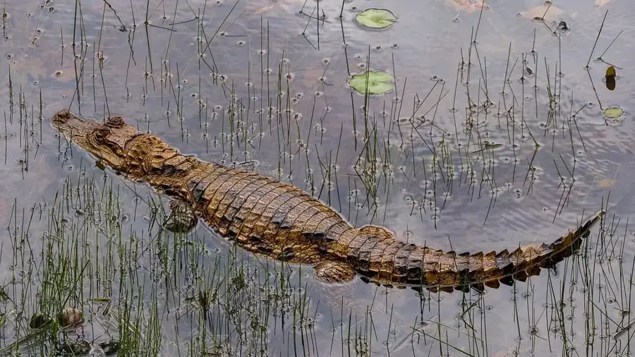
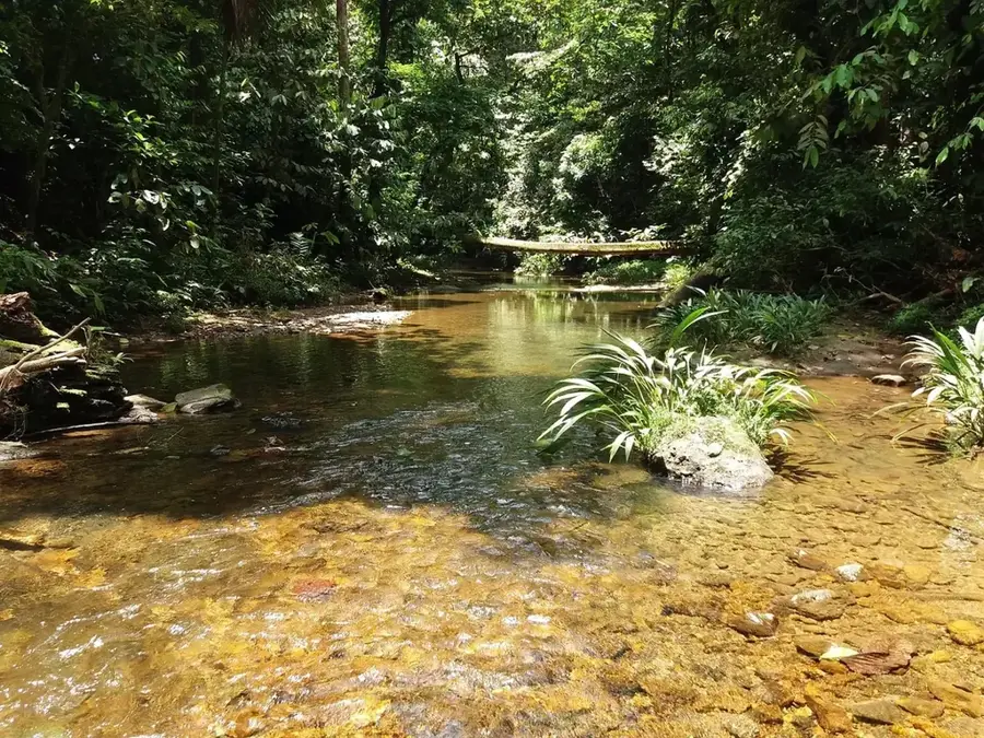
The Awá Rainforest is located in northwestern Ecuador, spanning the provinces of Carchi, Esmeraldas, and Imbabura, reaching up to the Colombian border. This area is part of the Chocó-Darién bioregion, one of the rainiest and most biodiverse zones on Earth. The forest is the ancestral territory of the indigenous Awá people, who live in harmony with nature and manage approximately 120,000 hectares of land. The region is characterized by extremely high rainfall, reaching up to 8,000 mm annually, resulting in the development of dense, evergreen primary forests. These ecosystems are home to rare species such as the jaguar, the Baird's tapir, and hundreds of orchid species. Despite its status as an ethno-botanical reserve, the area is threatened by illegal logging, gold mining, and agricultural expansion. Preserving the Awá Rainforest is of existential importance not only for global biodiversity but also for the cultural survival of the Awá community.
- Location: Ecuador
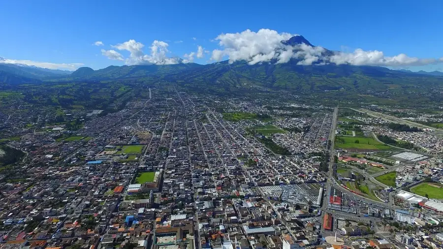
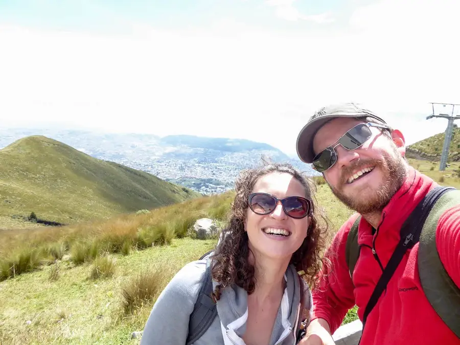
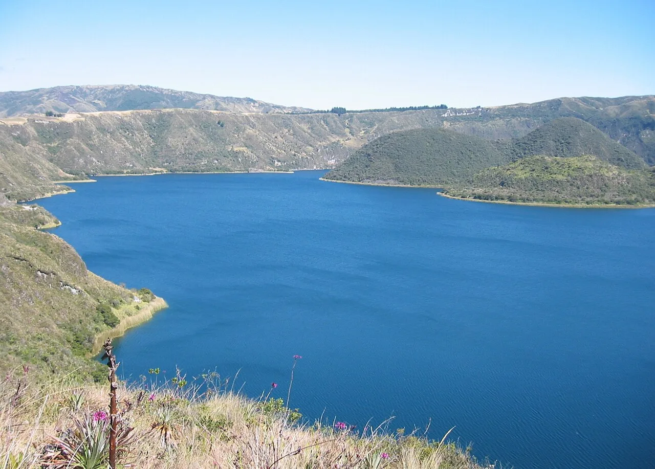
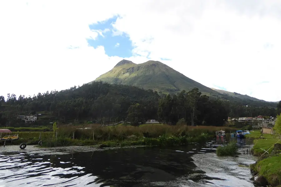
- Nearby: Cotacachi (17 km)
Best time to visit & climate
The most pleasant time to visit is Jul–Sep.
| Jan | Feb | Mar | Apr | May | Jun | Jul | Aug | Sep | Oct | Nov | Dec | |
|---|---|---|---|---|---|---|---|---|---|---|---|---|
| Avg °C | 24 | 24 | 24 | 24 | 24 | 24 | 24 | 25 | 25 | 24 | 24 | 24 |
| Rain mm | 117 | 114 | 135 | 150 | 111 | 63 | 34 | 22 | 35 | 72 | 87 | 92 |
📋 Practical info
Geography
Facts
- The Awá territory in Ecuador encompasses about 121,000 hectares of protected area.
- It is a core part of the Chocó-Darién biodiversity hotspot.
- Annual rainfall in the region is among the highest in the world.
- The reserve was established in the 1980s to secure Awá land rights.
- More than 60% of the plant species in the region are endemic.
- There are approximately 18 Awá communities living within the reserve.
Explore nearby
Notable places around
Route planner — Car & Motorhome
Where do you start? We build the route here, with stops and country notes along the way.
© OpenStreetMap contributors · OpenRouteService
Sights nearby
Frequently asked questions
What is the Awá rainforest?
Where is the Awá reserve located?
Is access open to tourists?
What is the climate like?
What makes nature there special?
Awá Rainforest: where is it located?
Awá Rainforest: when is the best time to visit?
Awá Rainforest: why is it worth visiting?

Nearby cities


History & landmarks


Nature
More places