Plizio Visual Lab
Quito Cable Car
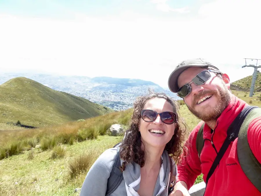
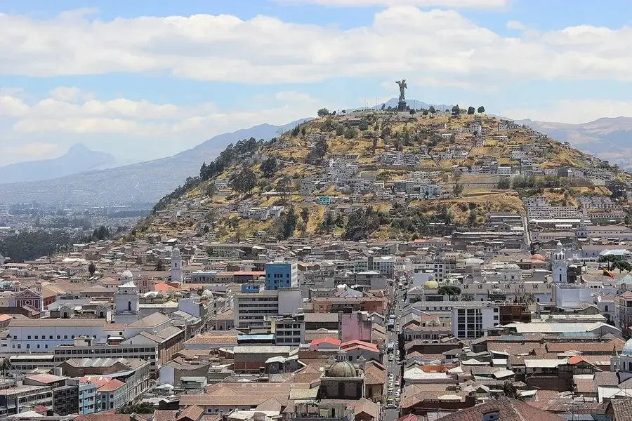
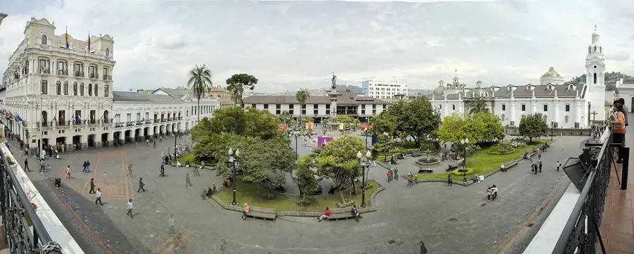
The Quito Cable Car, also known as the TelefériQo, is one of the highest aerial lifts in the world, offering one of the most spectacular experiences in the Ecuadorian capital. The journey begins on the edge of the city center at approximately 3,117 meters and ascends to the summit of Cruz Loma on the slopes of the active Pichincha Volcano, reaching an altitude of 3,945 meters. During the roughly 18-minute ascent, passengers enjoy dramatic views of the historic center, modern Quito, and the surrounding snow-capped peaks of the Andean 'Avenue of the Volcanoes.' Since its opening in 2005, it has been for tourists and a popular starting point for hikes to the Rucu Pichincha summit (4,696 m). At the top, visitors find observation decks, hiking trails, cafes, and the famous swing that provides spectacular photo opportunities overlooking the city. Due to the extreme altitude, visitors should be prepared for the thin air. The cable car plays a vital role in Quito's tourism, providing quick access to the alpine páramo landscape. It is a place that connects the immense nature of the Andes directly with urban life.
- Location: Ecuador
- Top sights: Parque Arqueológico y Ecológico RUMIPAMBA · Adrenalina Park · Mirador Punto 50
- Nearby: Sangolquí (8 km)
Best time to visit & climate
The most pleasant time to visit is Jul–Sep.
| Jan | Feb | Mar | Apr | May | Jun | Jul | Aug | Sep | Oct | Nov | Dec | |
|---|---|---|---|---|---|---|---|---|---|---|---|---|
| Avg °C | 17 | 17 | 18 | 18 | 18 | 18 | 17 | 18 | 18 | 17 | 17 | 17 |
| Rain mm | 139 | 143 | 176 | 177 | 123 | 58 | 34 | 25 | 38 | 76 | 90 | 100 |
📋 Practical info
Geography
Facts
- Top station at 3,945 m altitude
- Opening date: July 2005
- Ascent duration: 18 minutes
- Cable car length: 2.5 kilometers
- Starts at 3,117 m altitude
- Offers views of Pichincha Volcano
Explore nearby
Notable places around
Route planner — Car & Motorhome
Where do you start? We build the route here, with stops and country notes along the way.
© OpenStreetMap contributors · OpenRouteService
Sights in the town Quito Cable Car (11)
Sights nearby
Frequently asked questions
How high does the cable car go?
What should you wear?
How much is a ticket?
Can you go hiking at the top?
Are there altitude issues?
Quito Cable Car: where is it located?
Quito Cable Car: what is there to see?
Quito Cable Car: when is the best time to visit?
Quito Cable Car: why is it worth visiting?

Nearby cities


History & landmarks


More places