Plizio Visual Lab
San Lorenzo
ℹ️Practical info — San Lorenzo
▾
🌤 Weather — 5 days
📍 Nearby
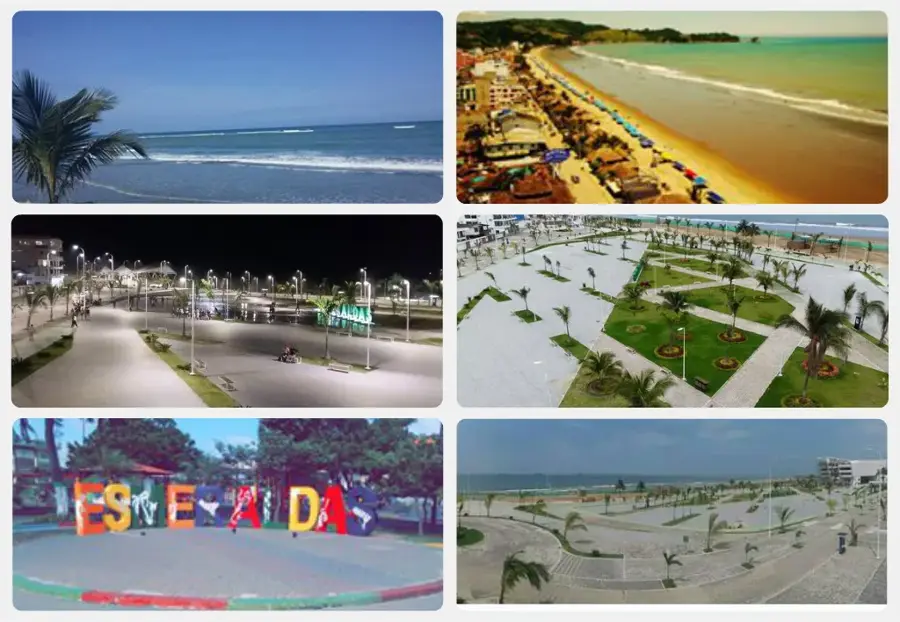
Sights nearby
💡 Tips
- Negotiate boat trips into the mangrove forests directly at the harbor with the local fishermen.
- The hot and humid climate requires light clothing and an always-filled water bottle.
- Be prepared for longer travel times when taking intercity buses, as road conditions can vary.
- Make sure to try the Afro-Ecuadorian cuisine, which relies heavily on coconut and seafood.
🍽 Food
Look for this typical fish dish in coconut sauce in the simple eateries (comedores) near the harbor.
Freshly grilled black clams, often found right at the stalls along the coastal road.
Sweet coconut snacks traditionally offered at the market or by street vendors.
🛍 Shopping · 🧘 Quiet spots
Visit the market early in the morning to see the freshest catch and tropical fruits.
Look out for woven baskets and mats made from local plant fibers in the region.
Book a small boat ride deep into the Majagual mangroves, where you can experience absolute silence.
Stroll along the Malecón in the quiet late afternoon sun, away from the morning hustle.
Water temperature…
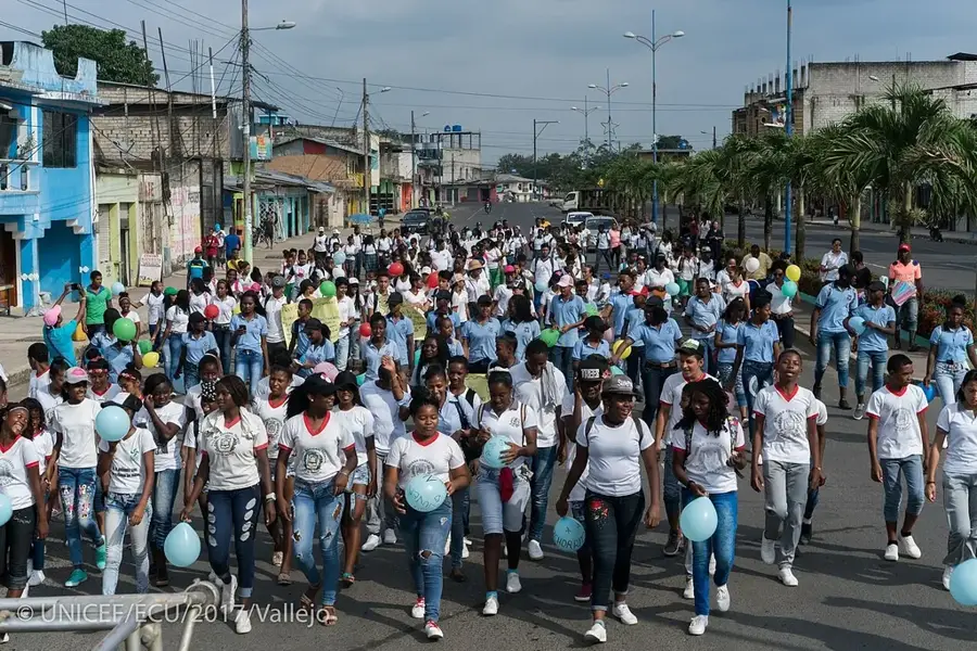
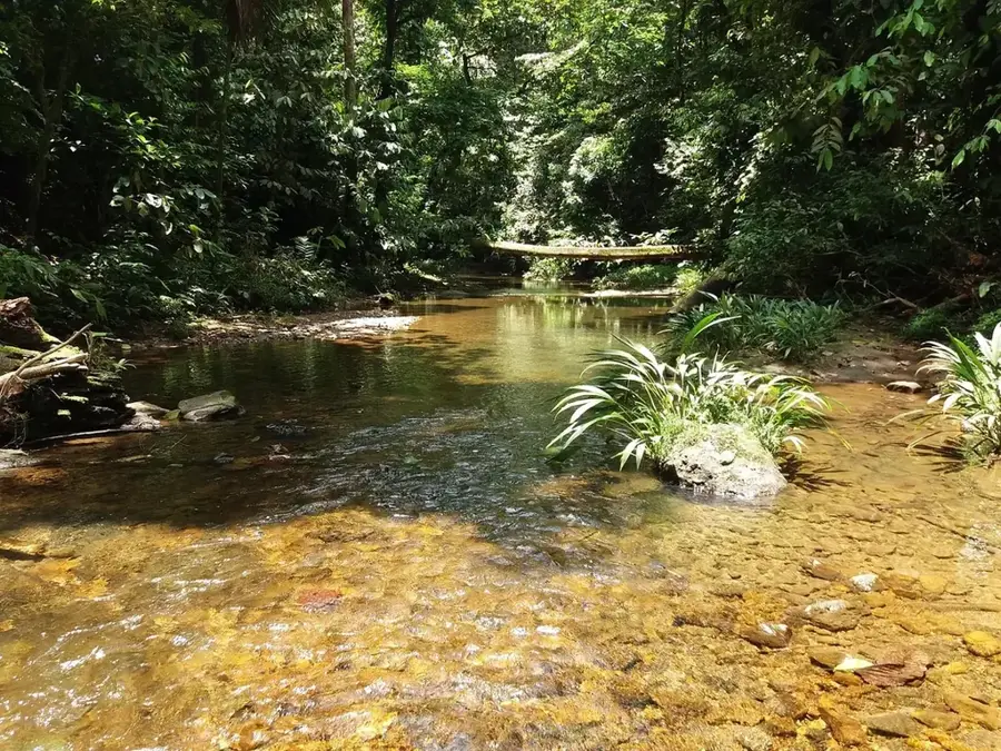
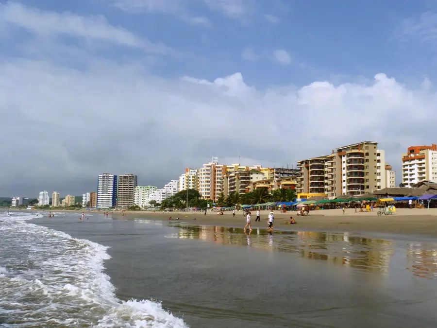
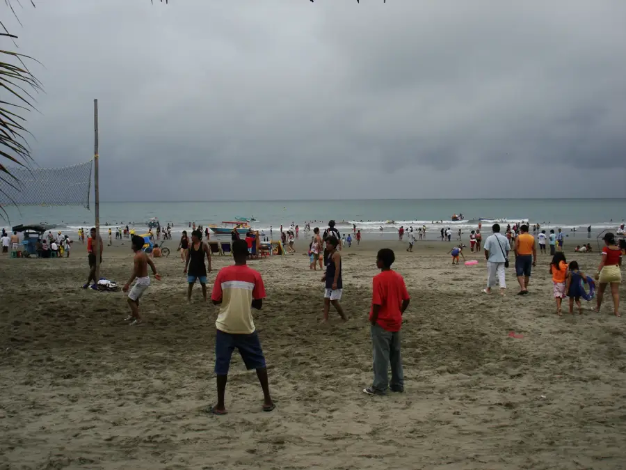
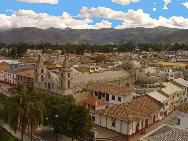
San Lorenzo is located in the far north of the Esmeraldas Province, near the border with Colombia. The city is an important Pacific port characterized by its location within a vast system of mangroves. Historically, the railway connection from Ibarra to San Lorenzo was decisive for the region's development, although train services have mostly ceased today. The economy is dominated by the timber industry, palm oil exports, and fishing, which poses ecological challenges for the Cayapas-Mataje Biosphere Reserve. The population is predominantly of Afro-Ecuadorian descent, reflected in a lively culture featuring marimba music and traditional dances. Due to its geographical isolation, San Lorenzo was difficult to reach for a long time, but it is now better connected through modern road networks. The city serves as an administrative center for the northern part of the province and is a key point for cross-border trade. Nature enthusiasts visit the region primarily for the world's tallest mangrove forests located in the immediate vicinity.
- Location: Ecuador
- Top sights: Kingdom Hall of Jehovah's Witnesses, San Lorenzo · Iglesia Católica San Daniel Comboni | San Lorenzo
- Nearby: Saquisilí (50 km)
- Population: ~20.209 (2017)
Best time to visit & climate
The most pleasant time to visit is Jul–Sep.
| Jan | Feb | Mar | Apr | May | Jun | Jul | Aug | Sep | Oct | Nov | Dec | |
|---|---|---|---|---|---|---|---|---|---|---|---|---|
| Avg °C | 26 | 26 | 26 | 26 | 26 | 26 | 26 | 27 | 27 | 26 | 26 | 26 |
| Rain mm | 103 | 98 | 115 | 134 | 104 | 65 | 36 | 23 | 35 | 75 | 90 | 87 |
Geography
Facts
- San Lorenzo is in Esmeraldas Province, near the Colombian border.
- The city was the terminus of the railway line from Ibarra.
- The Cayapas-Mataje Biosphere Reserve is located nearby.
- The economy relies on timber, palm oil, and commercial fishing.
- The culture is heavily influenced by Afro-Ecuadorian traditions.
- The area hosts some of the tallest mangrove forests in the world.
Explore nearby
Notable places around
Route planner — Car & Motorhome
Where do you start? We build the route here, with stops and country notes along the way.
© OpenStreetMap contributors · OpenRouteService
Sights in the town San Lorenzo (2)
Frequently asked questions
What makes San Lorenzo culturally special?
How do you reach the mangroves of San Lorenzo?
What role does the port play?
What is a typical seafood specialty?
Is land access possible?
San Lorenzo: where is it located?
San Lorenzo: what is there to see?
San Lorenzo: when is the best time to visit?
San Lorenzo: why is it worth visiting?

Nearby cities


History & landmarks
Nature
More places