Plizio Visual Lab
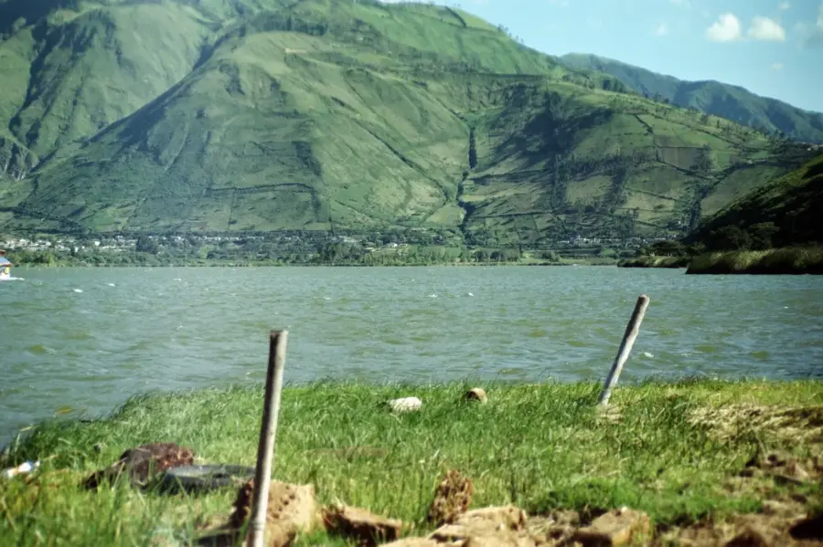
Cuicocha Lake
Weather…
Water temperature…
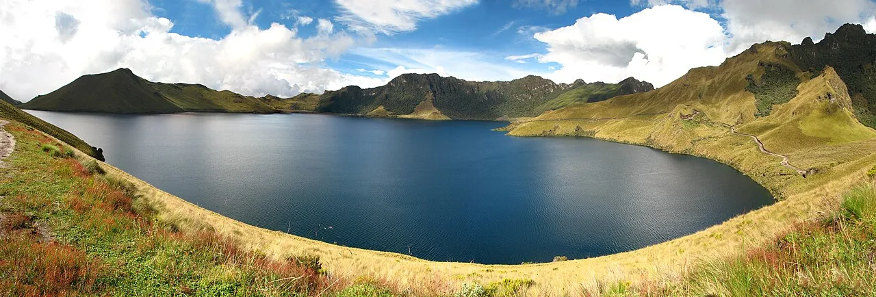
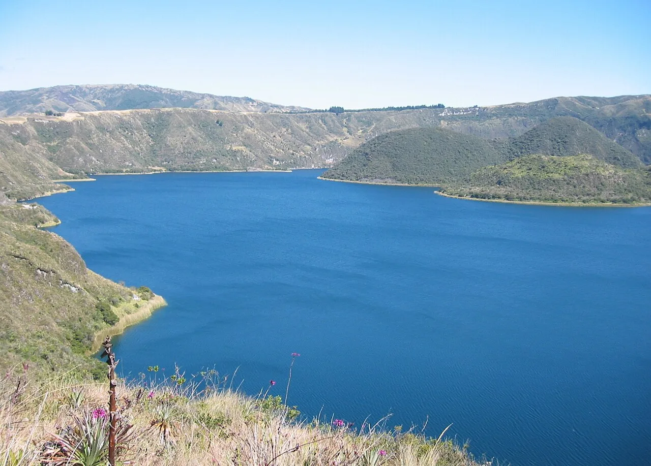
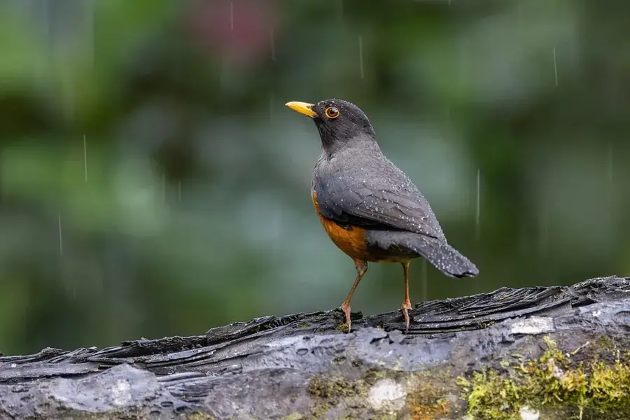
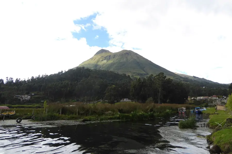
Lake Cuicocha is an impressive crater lake located at the foot of the extinct Cotacachi Volcano in the Imbabura Province. The caldera was formed approximately 3,100 years ago by a massive phreatomagmatic eruption that left a deep circular basin later filled with water. Two prominent islands, Yerovi and Teodoro Wolf, rise from the center of the lake; these are dacitic lava domes covered in dense native vegetation. The name Cuicocha is derived from the Kichwa language, meaning "Lake of the Guinea Pigs," referring to the shape of the islands. Situated at an elevation of 3,068 meters, the lake reaches depths of about 200 meters and features highly alkaline water. A well-maintained hiking trail circles the crater rim, providing panoramic views of the Imbabura and Cayambe volcanoes. The surrounding ecosystem is rich in biodiversity, including numerous orchid species and high-altitude birds such as the Andean condor. Cuicocha is a key part of the Cotacachi-Cayapas Ecological Reserve, managed for conservation and environmental education.
- Location: Ecuador
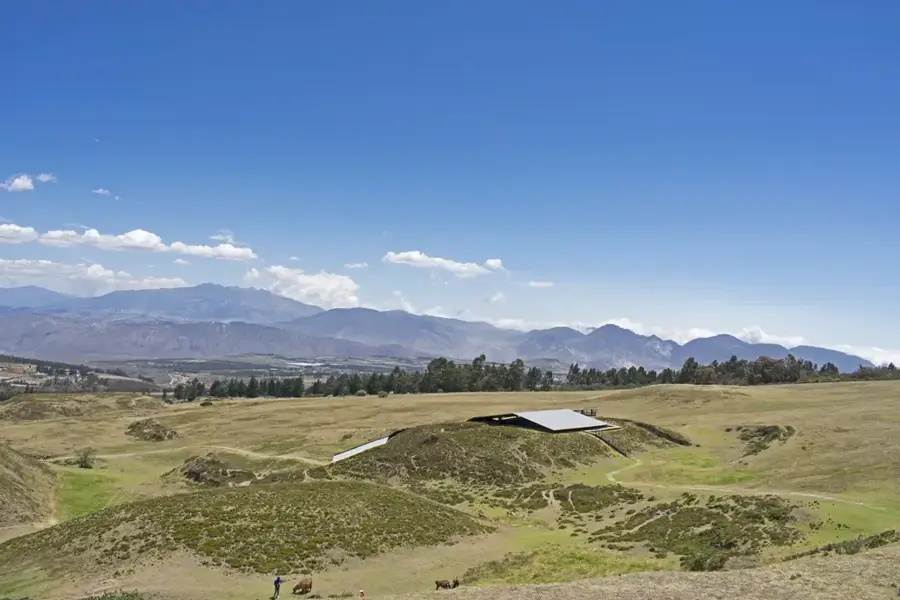
- Top sights: Vladi mirador · Bosque Protector Siempre Verde · Mirador
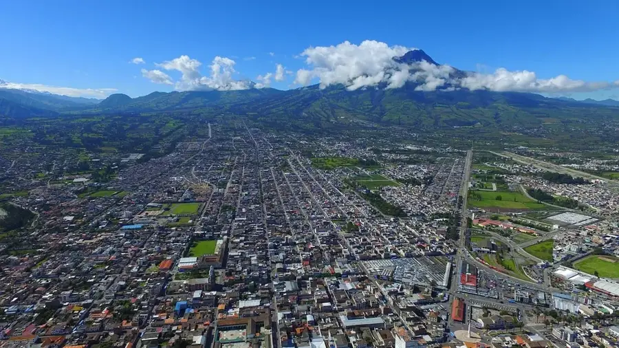
- Nearby: Cotacachi (11 km)
Best time to visit & climate
The most pleasant time to visit is Jul–Sep.
| Jan | Feb | Mar | Apr | May | Jun | Jul | Aug | Sep | Oct | Nov | Dec | |
|---|---|---|---|---|---|---|---|---|---|---|---|---|
| Avg °C | 20 | 20 | 20 | 21 | 21 | 20 | 20 | 21 | 21 | 21 | 20 | 20 |
| Rain mm | 132 | 131 | 161 | 169 | 120 | 61 | 34 | 23 | 36 | 73 | 88 | 98 |
📋 Practical info
Geography
Facts
- The caldera was created by a volcanic eruption around 3,100 years ago.
- The lake is positioned at an altitude of 3,068 meters above sea level.
- Two islands in the lake, Yerovi and Teodoro Wolf, are volcanic domes.
- The name Cuicocha translates to 'Lake of the Guinea Pigs' in Kichwa.
- The lake's maximum depth is recorded at approximately 200 meters.
- It is a primary attraction within the Cotacachi-Cayapas Ecological Reserve.
Explore nearby
Notable places around
Route planner — Car & Motorhome
Where do you start? We build the route here, with stops and country notes along the way.
© OpenStreetMap contributors · OpenRouteService
Sights in the town Cuicocha Lake (10)
Sights nearby
Frequently asked questions
What does the name Cuicocha mean?
Can you visit the islands?
How long does it take to hike around the lake?
Are there boat tours?
Where is the lake located?
Cuicocha Lake: where is it located?
Cuicocha Lake: what is there to see?
Cuicocha Lake: when is the best time to visit?
Cuicocha Lake: why is it worth visiting?

Nearby cities


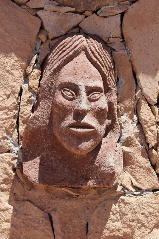
History & landmarks


Nature
More places