Plizio Visual Lab
Mojanda Complex
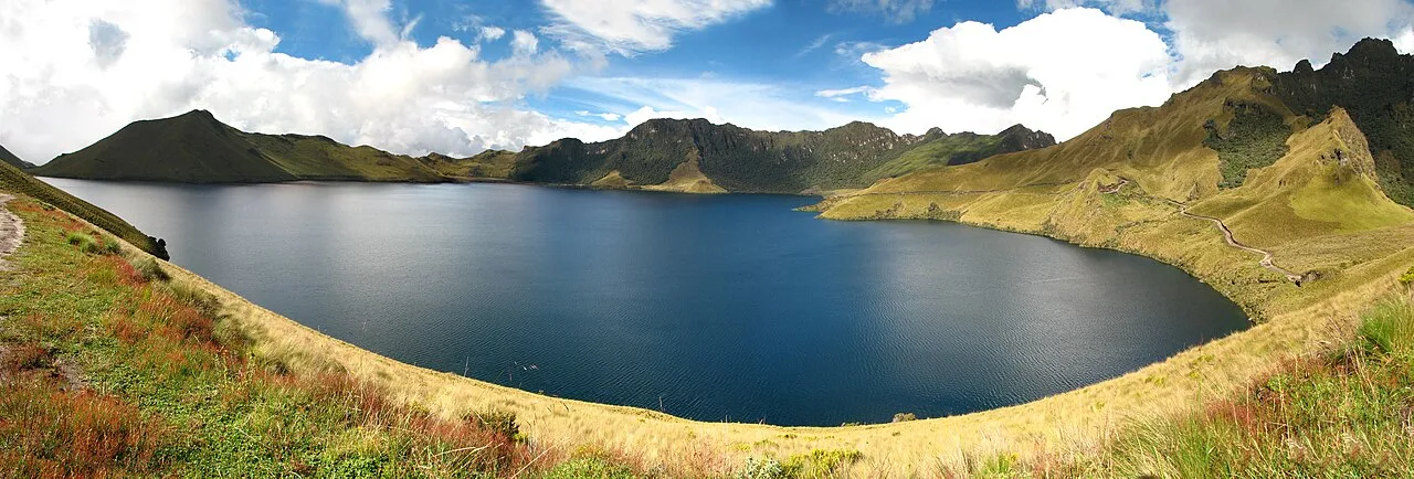
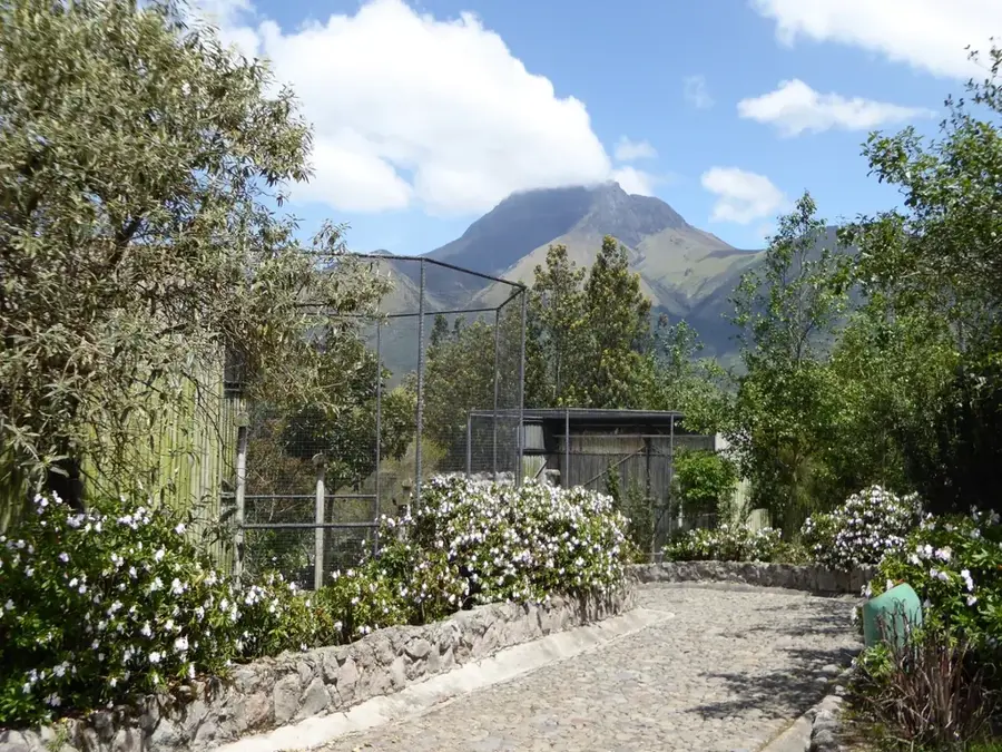
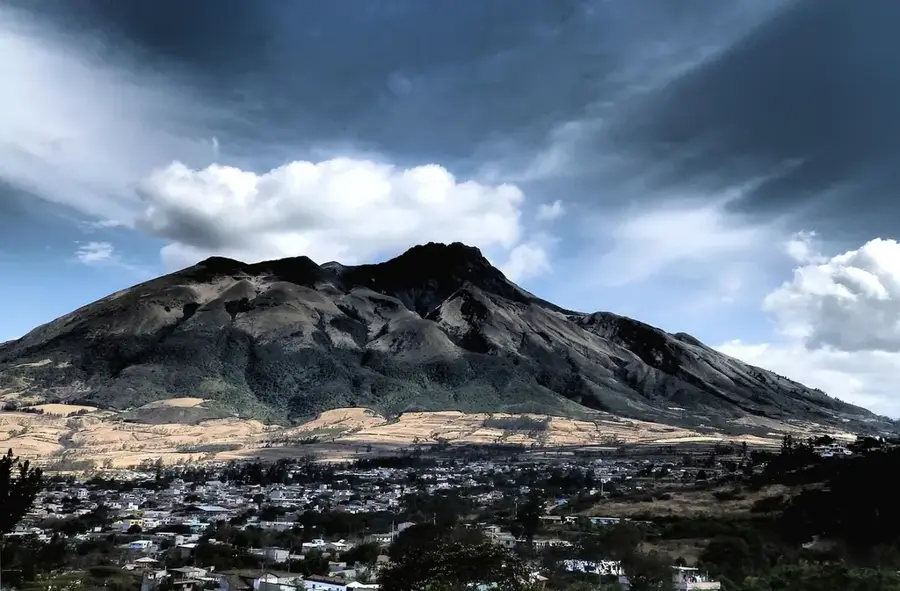
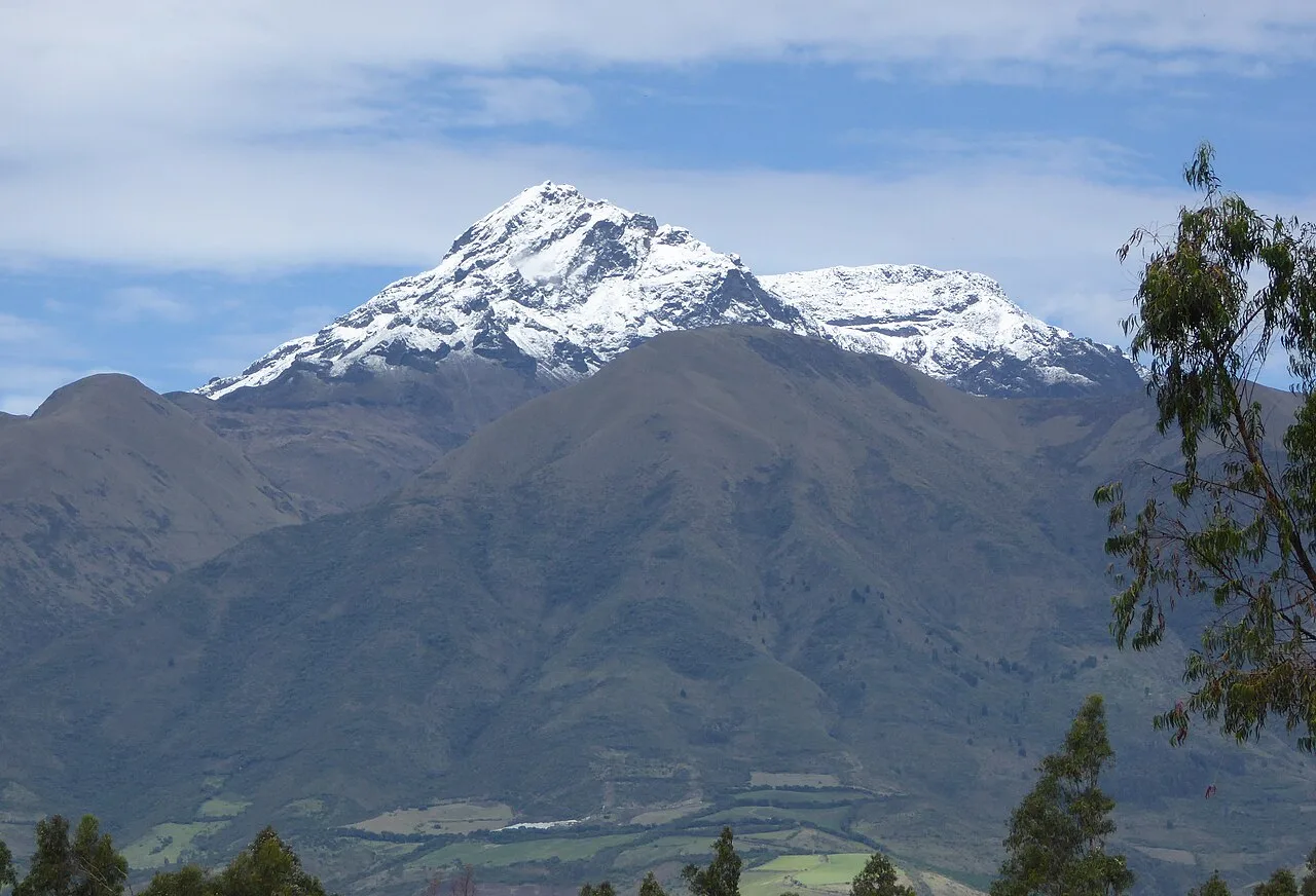
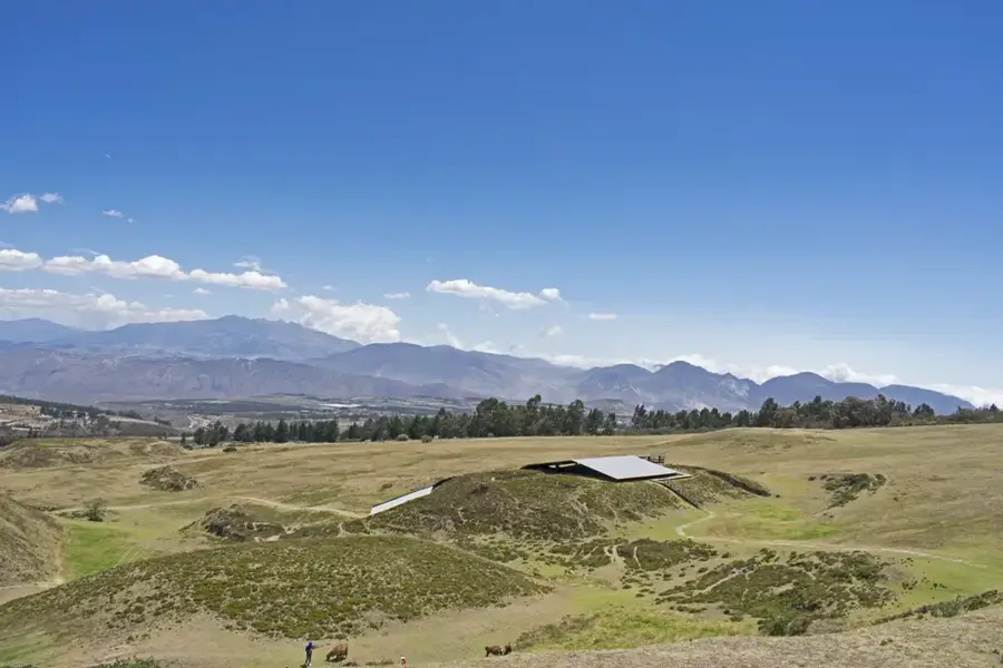
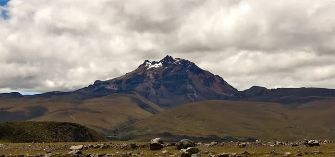
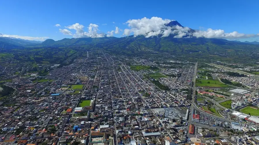
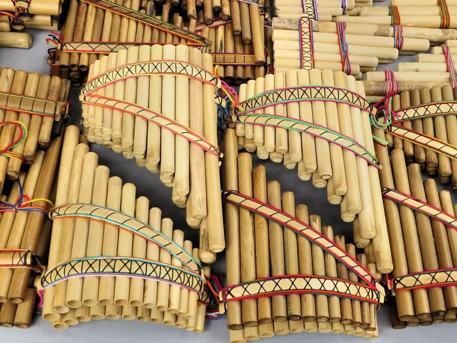
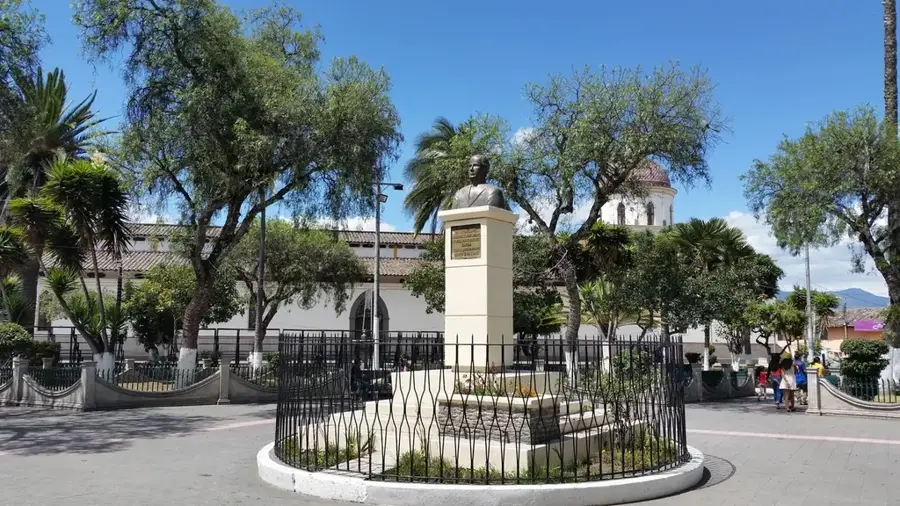
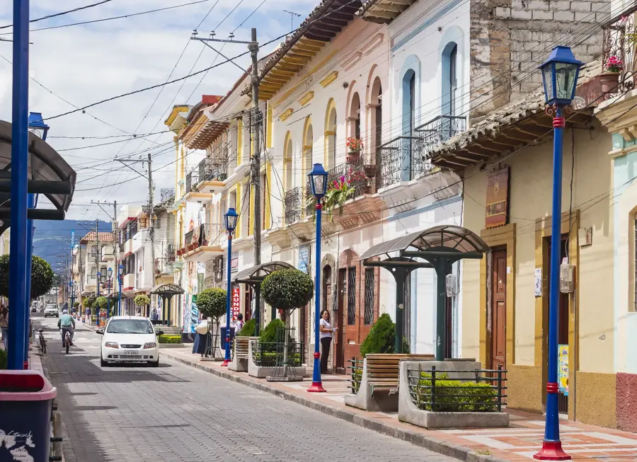
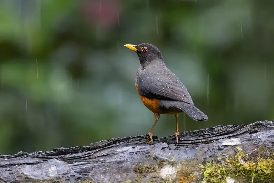
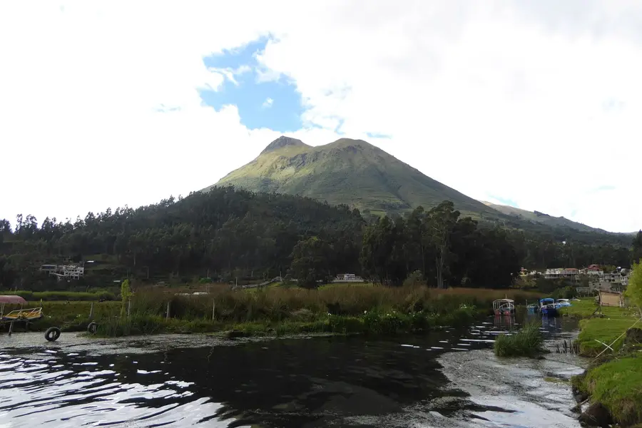
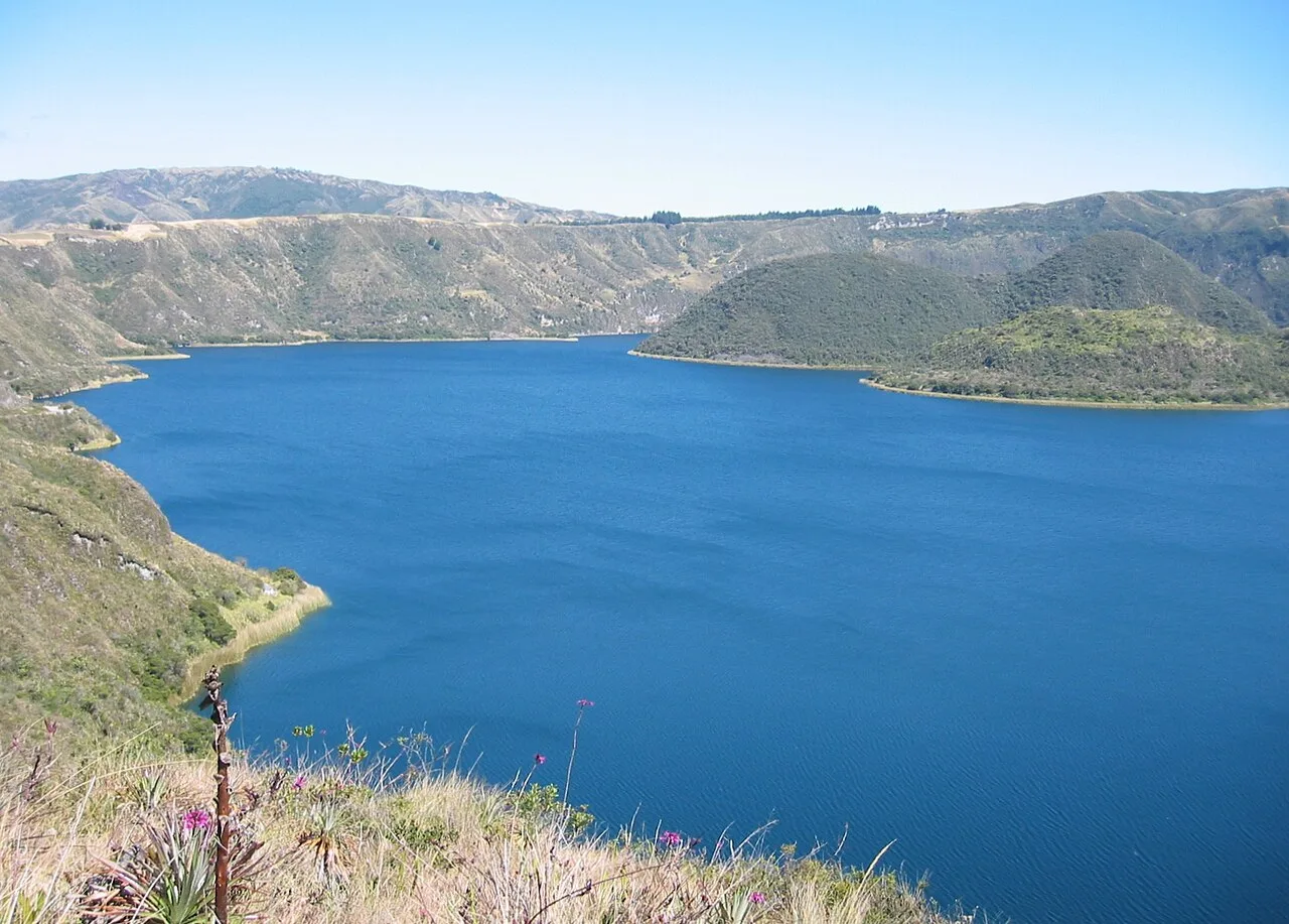
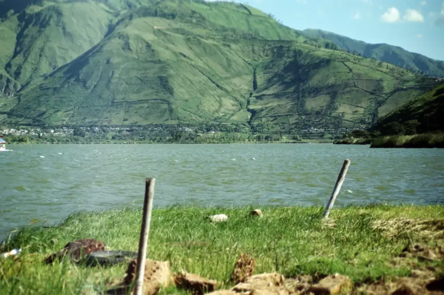
The Mojanda Complex is an impressive volcanic massif in the northern Andes of Ecuador, near the city of Otavalo. It consists of two extinct volcanoes, Mojanda and Fuya Fuya, with the latter being the highest point at 4,263 meters. The heart of the complex is formed by three pretty crater lakes: Caricocha (Male Lake), Huarmicocha (Female Lake), and Yanacocha (Black Lake), situated at an altitude of about 3,720 meters. The caldera was created by a massive collapse of the original Mojanda volcano approximately 200,000 years ago. The area is covered by expansive páramo grasslands and serves as a vital watershed for Imbabura Province. The region is not only ecologically valuable but also holds deep cultural significance for the local Kichwa communities, who revere the lakes as sacred sites.
- Location: Ecuador
- Top sights: Mulapotrero · Loma Mojanda · Mojanda Lakes
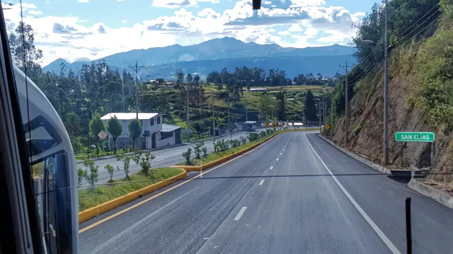
- Nearby: Atuntaqui (8 km)
Best time to visit & climate
The most pleasant time to visit is Jul–Sep.
| Jan | Feb | Mar | Apr | May | Jun | Jul | Aug | Sep | Oct | Nov | Dec | |
|---|---|---|---|---|---|---|---|---|---|---|---|---|
| Avg °C | 17 | 17 | 18 | 18 | 18 | 18 | 17 | 18 | 18 | 17 | 17 | 17 |
| Rain mm | 139 | 143 | 176 | 177 | 123 | 58 | 34 | 25 | 38 | 76 | 90 | 100 |
📋 Practical info
Geography
Facts
- Highest point is Fuya Fuya at 4,263 m
- Contains three main lakes within the caldera
- Caricocha is the largest of the three lakes
- Formed approximately 200,000 years ago
- Sacred site for the Kichwa people
- Located near the city of Otavalo
Explore nearby
Notable places around
Route planner — Car & Motorhome
Where do you start? We build the route here, with stops and country notes along the way.
© OpenStreetMap contributors · OpenRouteService
Sights in the town Mojanda Complex (4)
Sights nearby
Frequently asked questions
What is the Mojanda complex?
How do you reach the lakes?
Can you go hiking there?
Is camping allowed?
Are there food facilities?
Mojanda Complex: where is it located?
Mojanda Complex: what is there to see?
Mojanda Complex: when is the best time to visit?
Mojanda Complex: why is it worth visiting?

Nearby cities

History & landmarks

Nature
More places