Plizio Visual Lab
Kagera River
Weather…
Water temperature…
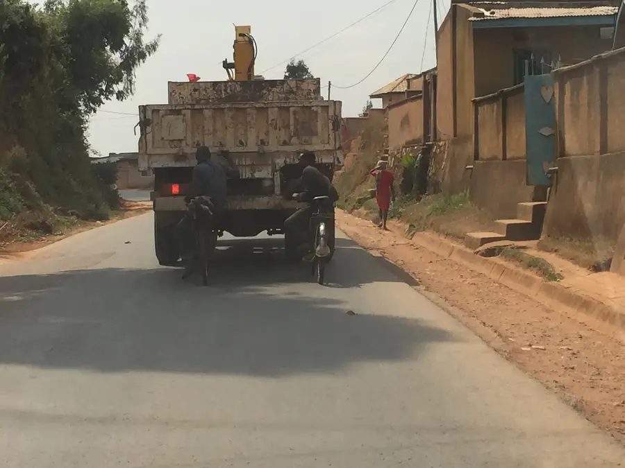
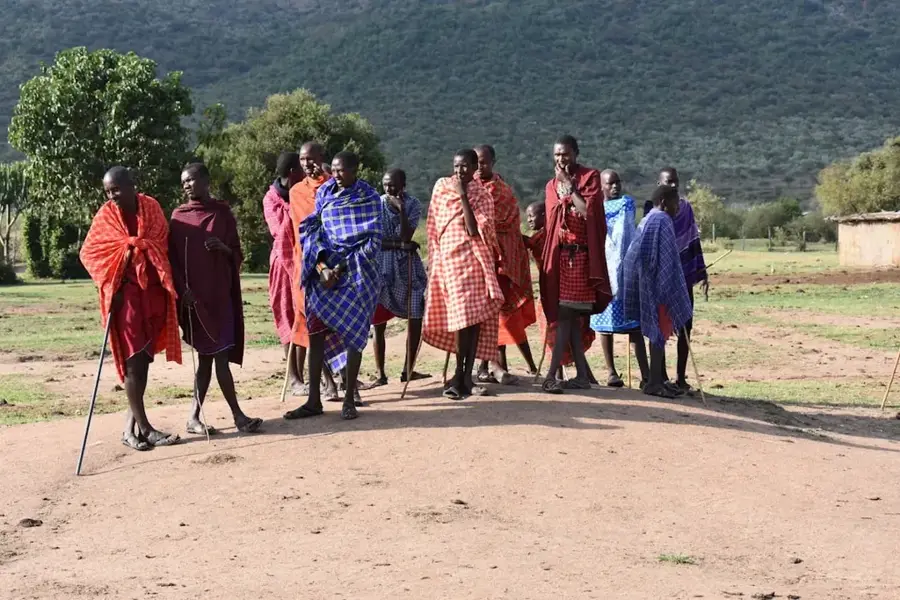
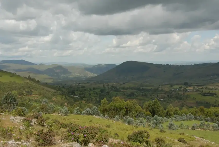
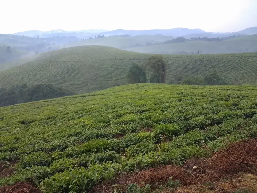
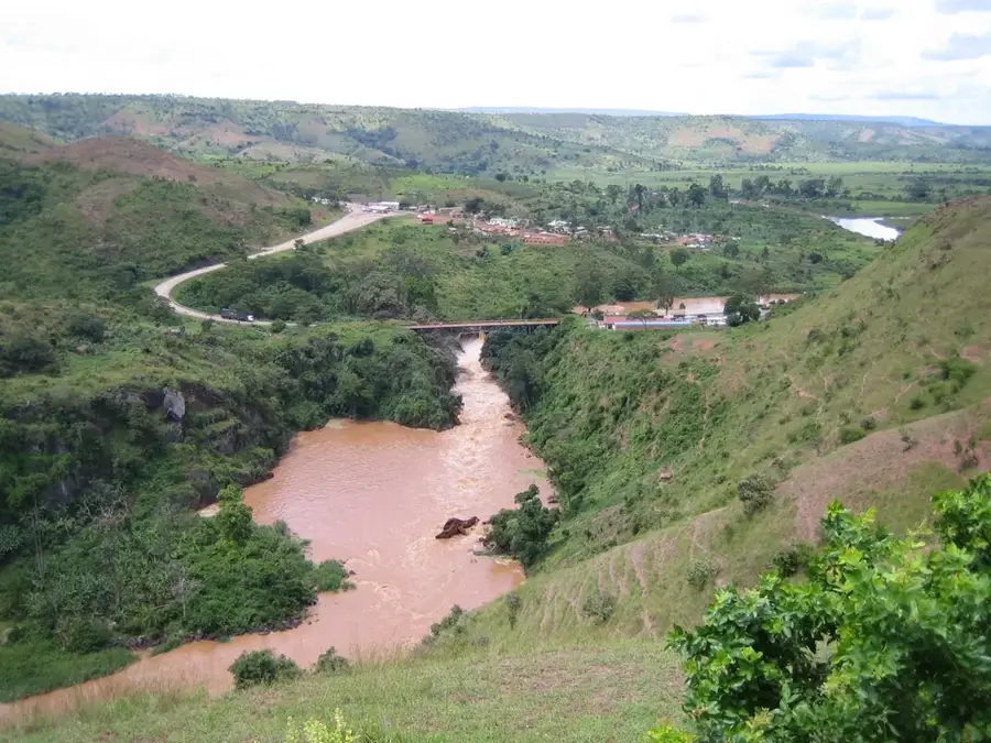
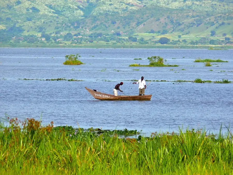
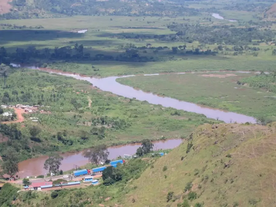
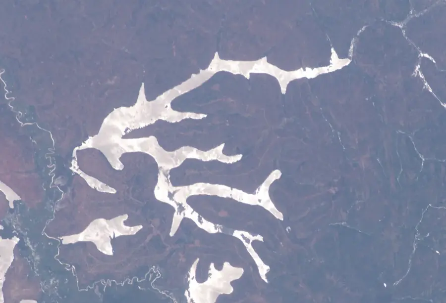
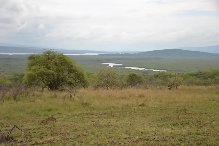
The Kagera River is one of East Africa's most significant rivers and is widely considered the remotest source of the White Nile. Formed by the confluence of the Ruvubu and Nyabarongo rivers on the border of Burundi and Rwanda, it flows for over 400 kilometers before emptying into Lake Victoria. The river acts as an international boundary for much of its length, separating Burundi, Rwanda, Tanzania, and Uganda. Historically, the Kagera was a vital trade and transport route, though it also gained international notoriety during the regional conflicts of the 1990s. Geographically, the river is characterized by its large discharge and the spectacular Rusumo Falls, where the water plunges through a narrow gorge. The Kagera basin hosts diverse ecosystems, from dense papyrus swamps to open savannas, supporting a wide range of wildlife. Today, the river is a focal point for regional cooperation, particularly in transboundary water management and large-scale hydroelectric energy projects.
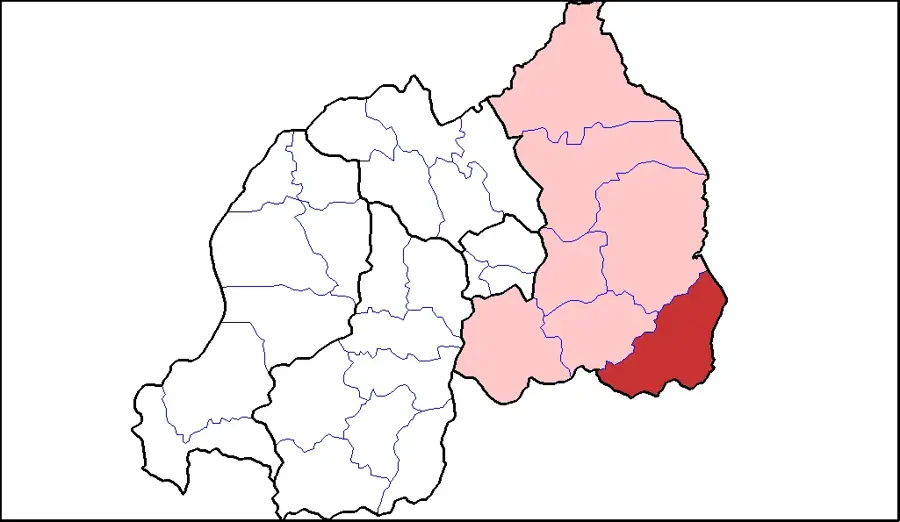
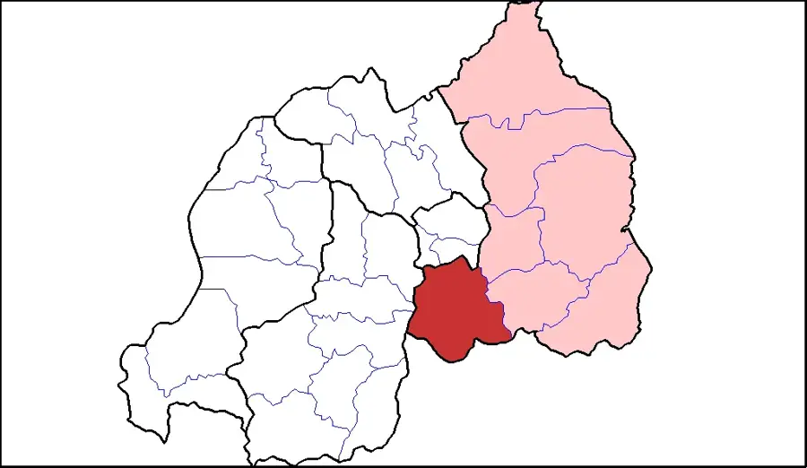
- Location: Burundi
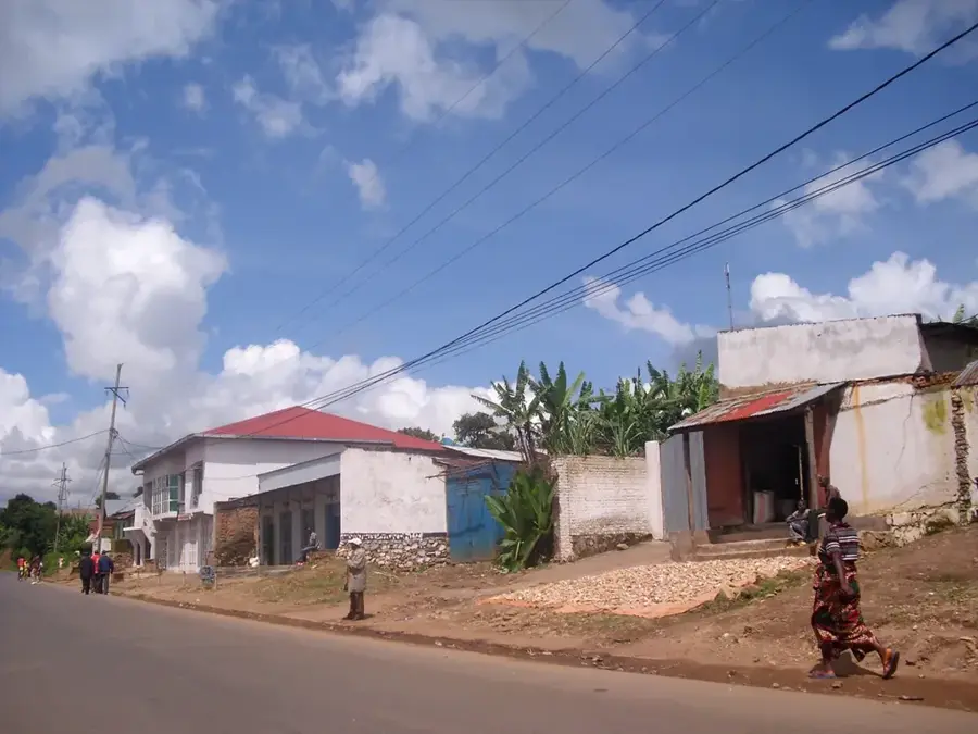
- Nearby: Kobero (22 km)
Best time to visit & climate
The most pleasant time to visit is Jun–Aug.
| Jan | Feb | Mar | Apr | May | Jun | Jul | Aug | Sep | Oct | Nov | Dec | |
|---|---|---|---|---|---|---|---|---|---|---|---|---|
| Avg °C | 21 | 21 | 21 | 20 | 20 | 20 | 20 | 21 | 22 | 21 | 20 | 21 |
| Rain mm | 111 | 100 | 151 | 164 | 100 | 30 | 18 | 35 | 65 | 117 | 180 | 124 |
📋 Practical info
Geography
Facts
- The Kagera River is approximately 400 to 600 kilometers long.
- It provides nearly 30% of the total water inflow to Lake Victoria.
- Rusumo Falls is the most famous geographical feature along the river.
- The river defines the entire international border between Rwanda and Tanzania.
- It is the primary namesake of the Akagera National Park in Rwanda.
- The Rusumo Falls hydroelectric project serves Burundi, Rwanda, and Tanzania.
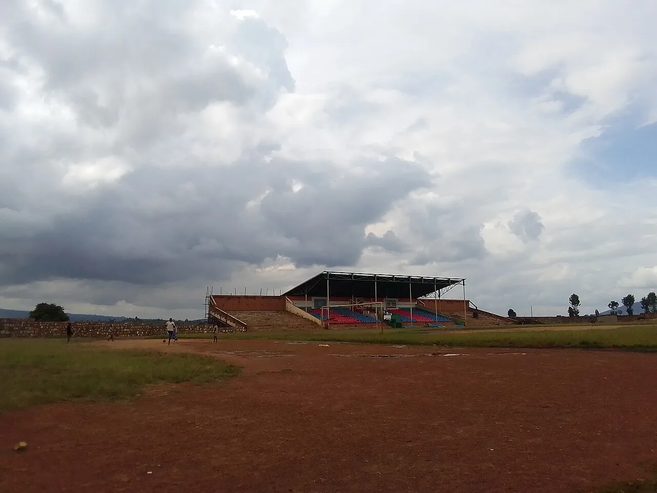
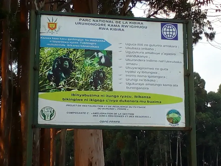
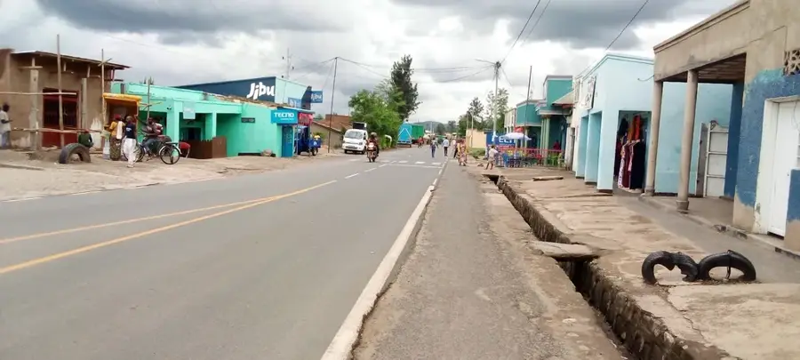
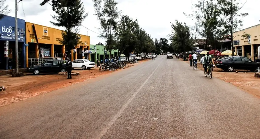
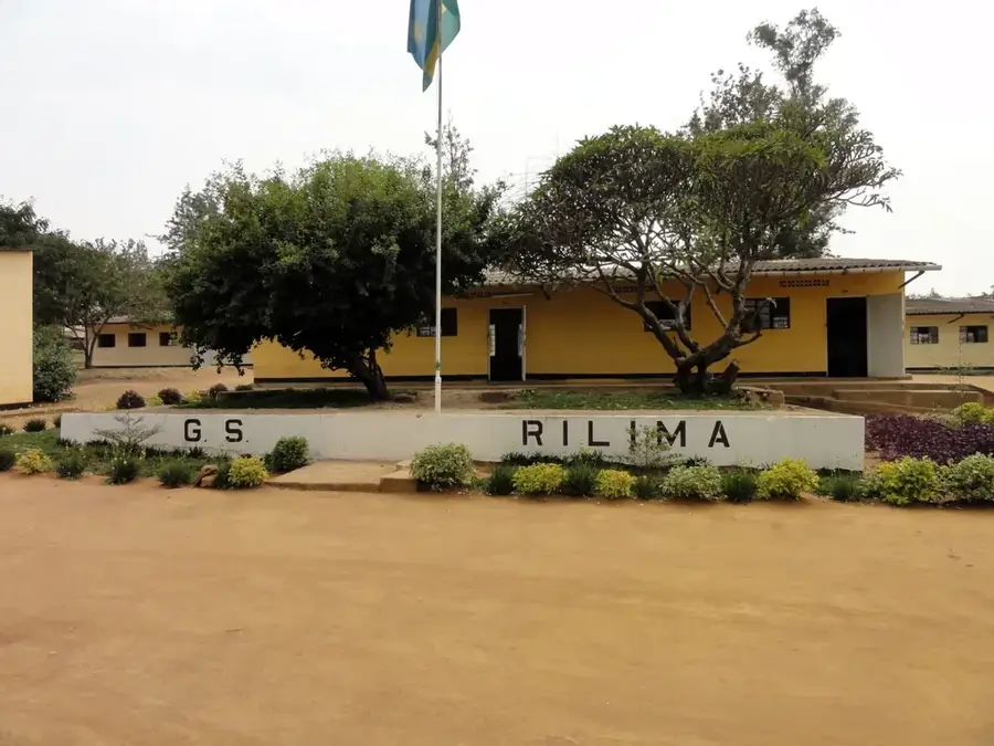
Explore nearby
Notable places around
Route planner — Car & Motorhome
Where do you start? We build the route here, with stops and country notes along the way.
© OpenStreetMap contributors · OpenRouteService
Sights nearby
Frequently asked questions
Where does the Kagera River flow?
Can you take boat tours on the Kagera?
Are there waterfalls on the Kagera?
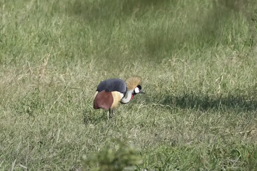
Which birds can be observed there?
Is the water suitable for drinking?
Kagera River: where is it located?
Kagera River: when is the best time to visit?
Kagera River: why is it worth visiting?

Nearby cities
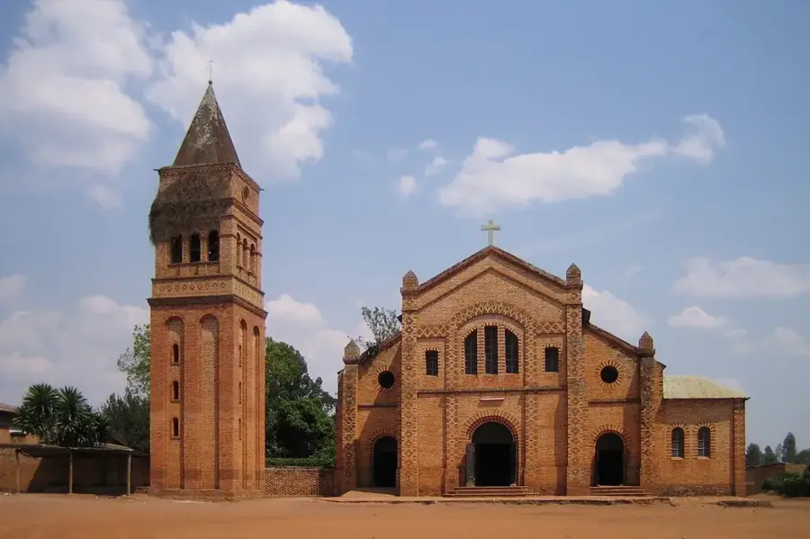
History & landmarks

Nature

More places