Plizio Visual Lab
Muramvya
ℹ️Practical info — Muramvya
▾
🌤 Weather — 5 days
📍 Nearby
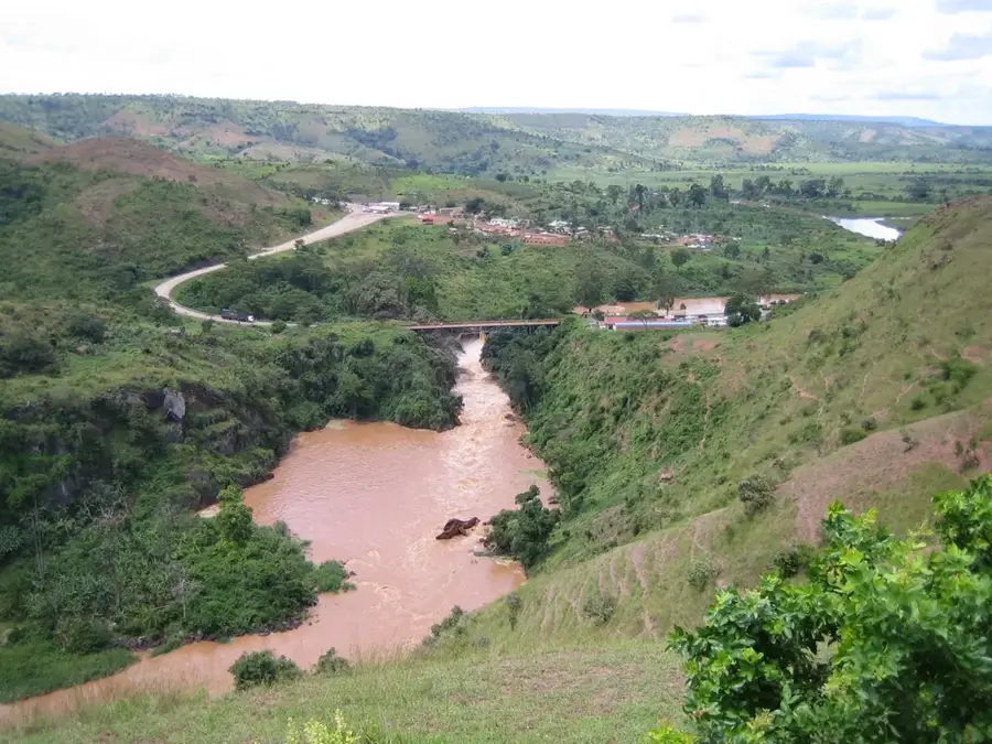
Sights nearby
💡 Tips
- The climate is noticeably cooler here due to the altitude, so pack a light sweater.
- Visit the nearby Kiganda area to see the historical inauguration sites of Burundian kings.
- Hire a local guide to fully understand the rich royal history and significance of the region.
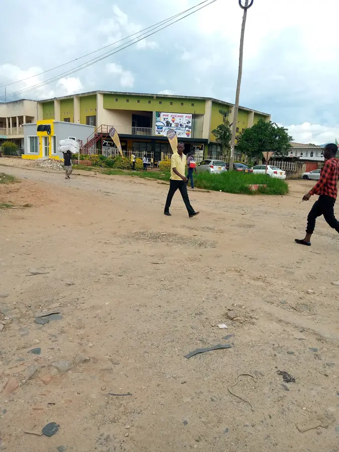
- It serves as a convenient and quick stopover when traveling between Bujumbura and Gitega.
- Roads towards the Kibira forest can be very rough; inquire locally about conditions.
🍽 Food
The comforting agricultural staple of the highlands, served in all central eateries.
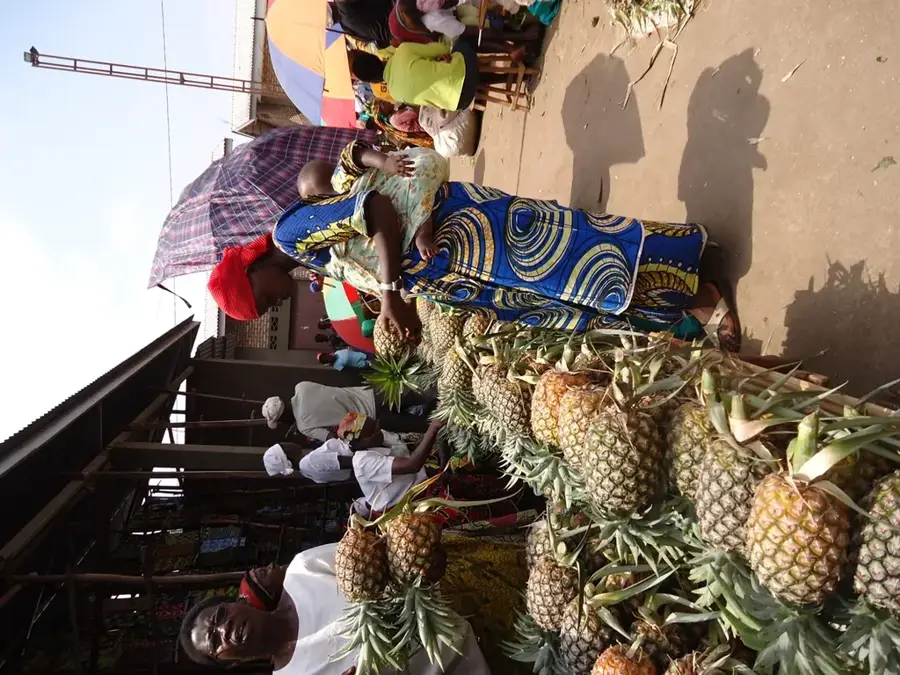
Grab freshly grilled meat skewers with fries at the transit stops along the main road.
Ask a trusted local where to safely try this traditional fermented brew.
🛍 Shopping · 🧘 Quiet spots
Look for locally made clay pots reflecting the area's deep historical crafts.
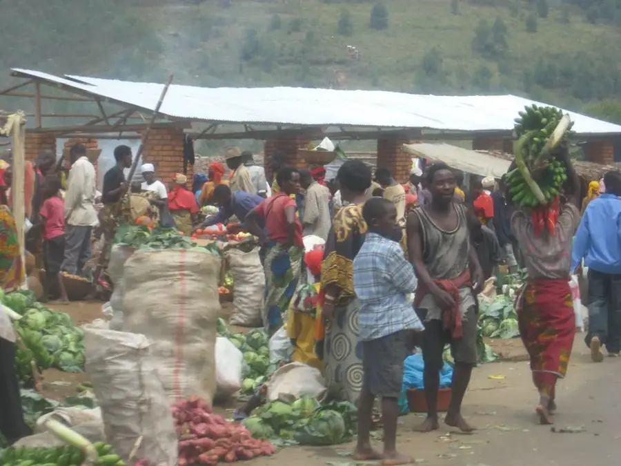
The transit market is excellent for picking up fresh, cold-climate produce.
Walk around the historic royal sites for a reflective look into Burundi's past.
Take a hike towards the edges of the national park for lush, quiet nature.
Water temperature…
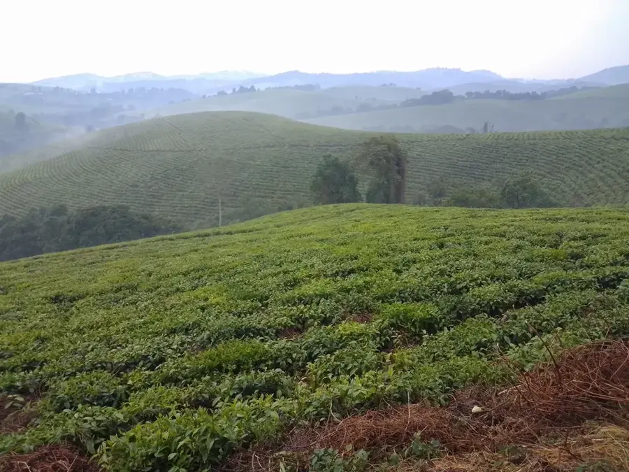
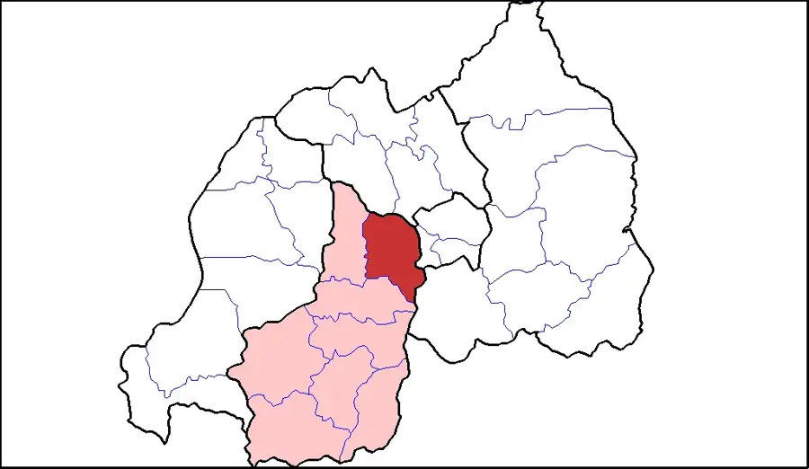
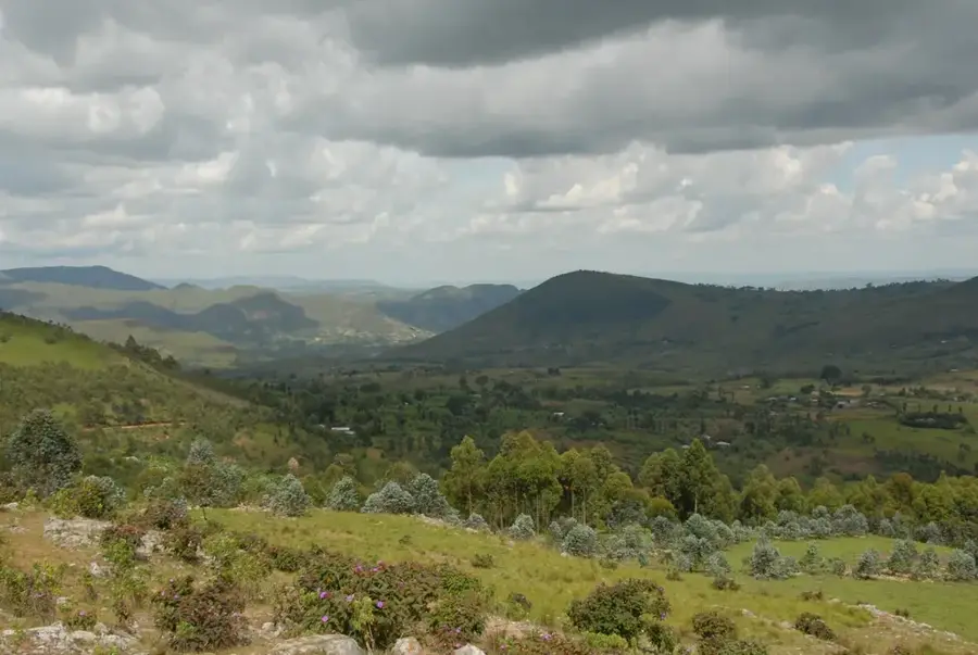
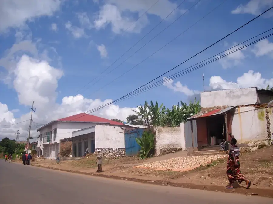
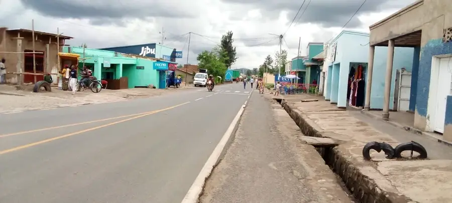
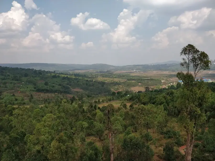
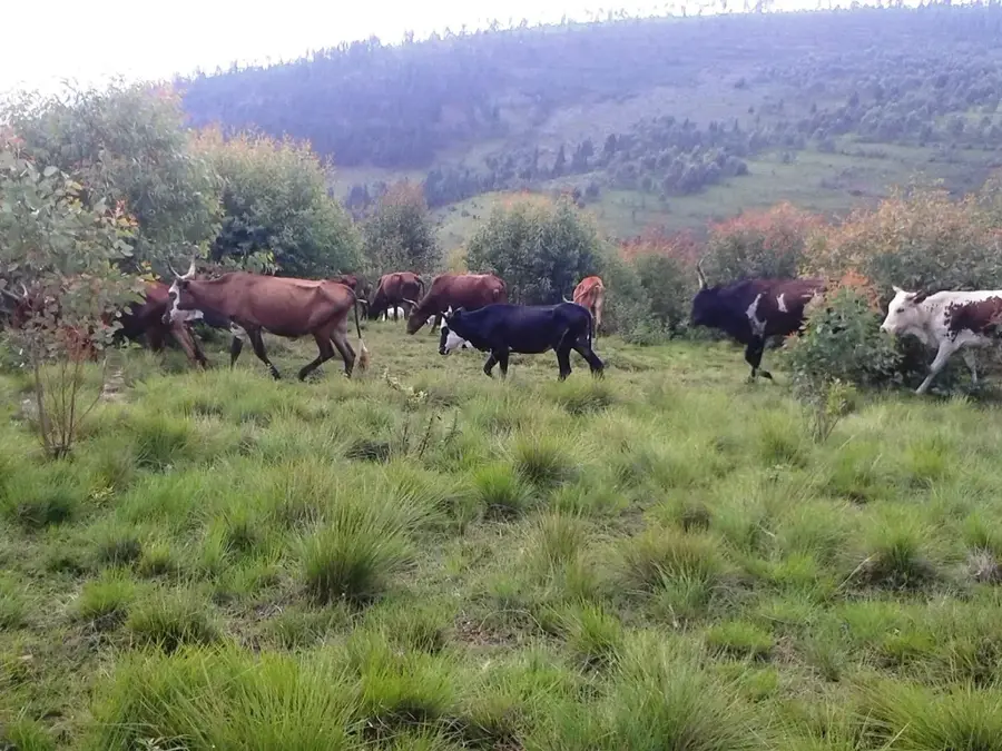
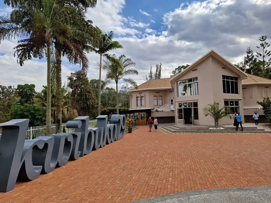
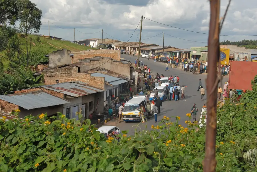
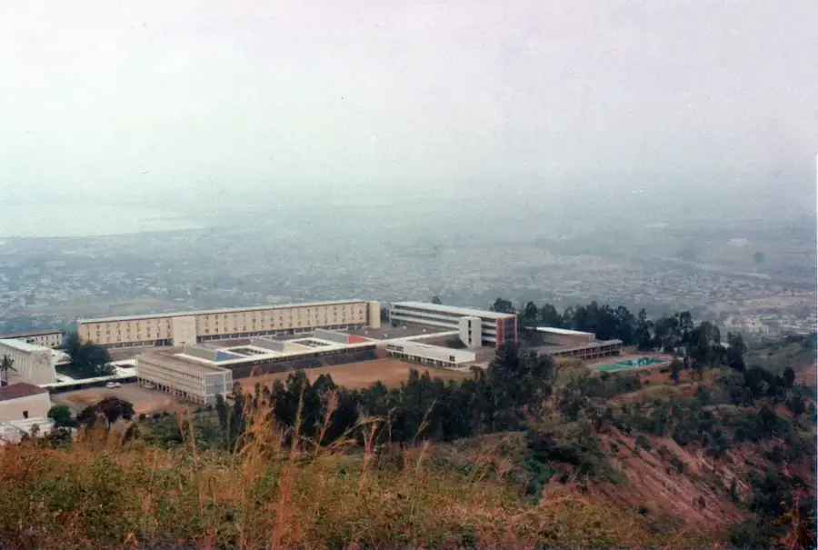
Muramvya is situated in the central highlands of Burundi and holds exceptional historical significance as the former royal capital of the Kingdom of Burundi. Located at an elevation of approximately 1,900 meters, the settlement served for centuries as the political and spiritual center where the monarchs (Mwami) resided and crucial traditional ceremonies, such as the Umuganuro festival, took place. The surrounding area is characterized by rolling hills and intensive agricultural use, with tea and coffee being the primary cash crops. Due to its high altitude, Muramvya enjoys a temperate climate handy for growing grains and legumes. The town still hosts remains of the royal cultural landscape, which has been recognized by UNESCO as a potential World Heritage site. Today, Muramvya serves as the administrative center of the province of the same name and remains a symbol of the country's cultural identity and pre-colonial history.
- Location: Burundi
- Nearby: Bukeye (4 km)
- Population: ~8.445 (2025)
Best time to visit & climate
The most pleasant time to visit is Jun–Aug.
| Jan | Feb | Mar | Apr | May | Jun | Jul | Aug | Sep | Oct | Nov | Dec | |
|---|---|---|---|---|---|---|---|---|---|---|---|---|
| Avg °C | 21 | 22 | 22 | 21 | 21 | 20 | 20 | 21 | 22 | 22 | 21 | 21 |
| Rain mm | 202 | 168 | 219 | 213 | 94 | 29 | 15 | 42 | 94 | 172 | 341 | 219 |
Geography
Facts
- Muramvya was the historical capital of the Kingdom of Burundi.
- The town is located at an altitude of approximately 1,920 meters.
- The royal site of Muramvya is on the UNESCO Tentative List.
- The traditional Umuganuro (sorghum festival) was centered here.
- Tea plantations are a dominant feature of the local economy.
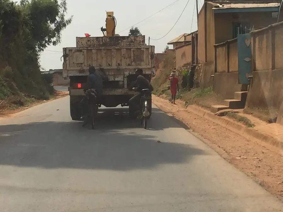
- The RN1 road connects the town with Bujumbura and Gitega.
Explore nearby
Notable places around
Route planner — Car & Motorhome
Where do you start? We build the route here, with stops and country notes along the way.
© OpenStreetMap contributors · OpenRouteService
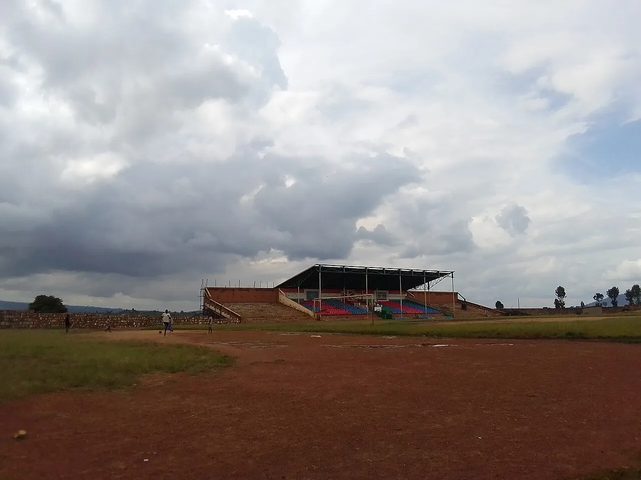
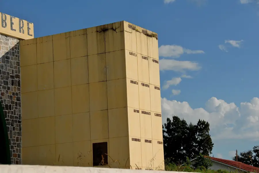
Sights in the town Muramvya (1)
Frequently asked questions
What is the historical significance of Muramvya?
Can you visit tea plantations there?
What is the 'Royal Road'?
Is the city good for photography?
Are there museums there?
Muramvya: where is it located?
Muramvya: when is the best time to visit?
Muramvya: why is it worth visiting?

Nearby cities
History & landmarks
Nature
More places