Plizio Visual Lab
Ngara
ℹ️Practical info — Ngara
▾
🌤 Weather — 5 days
📍 Nearby
Sights nearby
💡 Tips
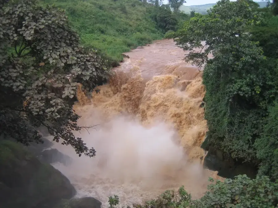
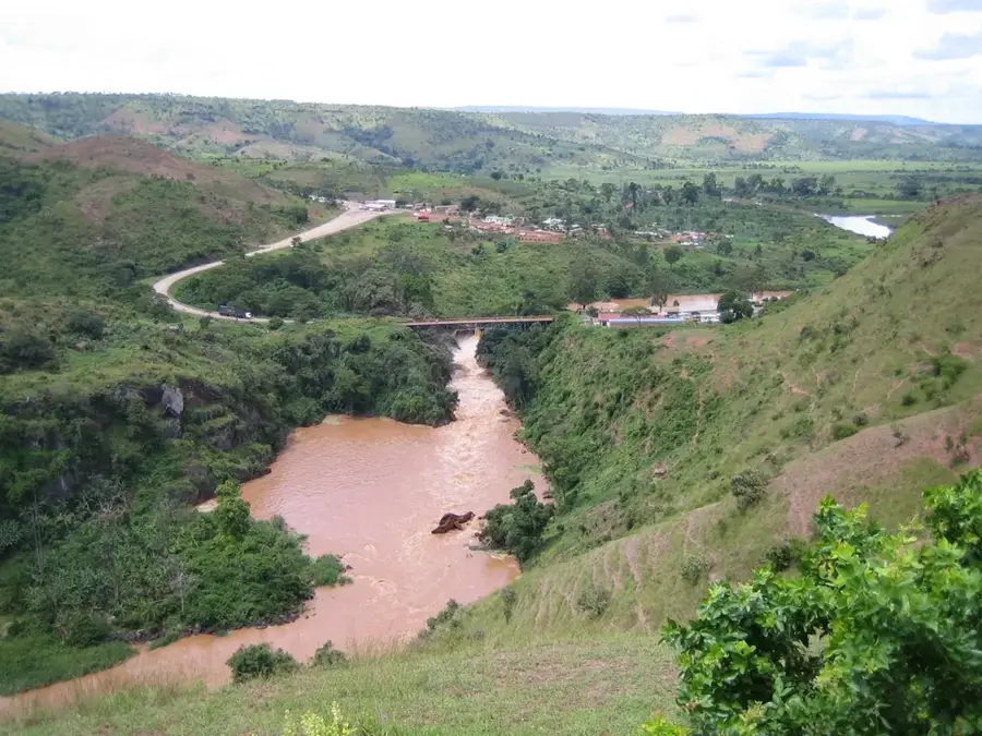
- Visit the Rusumo Falls located right on the border with Rwanda.
- The town is set in a hilly landscape, so bring comfortable walking shoes.
- Ngara is a key trade hub; exchange currency here before traveling further.
- Nights can be quite chilly due to the town's high altitude.
- The Rusumo Bridge features a great vantage point to see the powerful falls.
🍽 Food
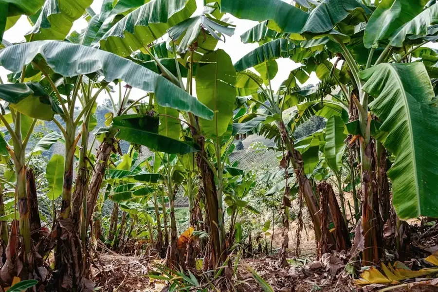
Steamed green bananas, a dish showing strong Rwandan culinary influence.
A nutritious staple meal served in almost every small local eatery.
Local free-range chicken, often slow-cooked in a flavorful sauce.
🛍 Shopping · 🧘 Quiet spots
Known for cross-border trade goods and locally woven baskets.
A good spot to find textiles and various products from Rwanda.
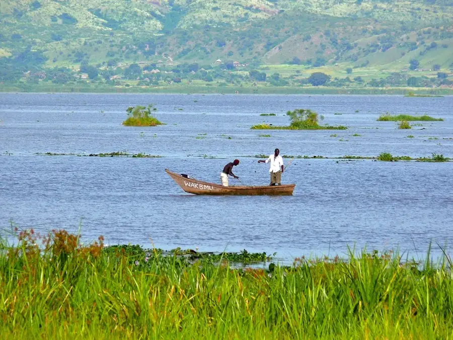
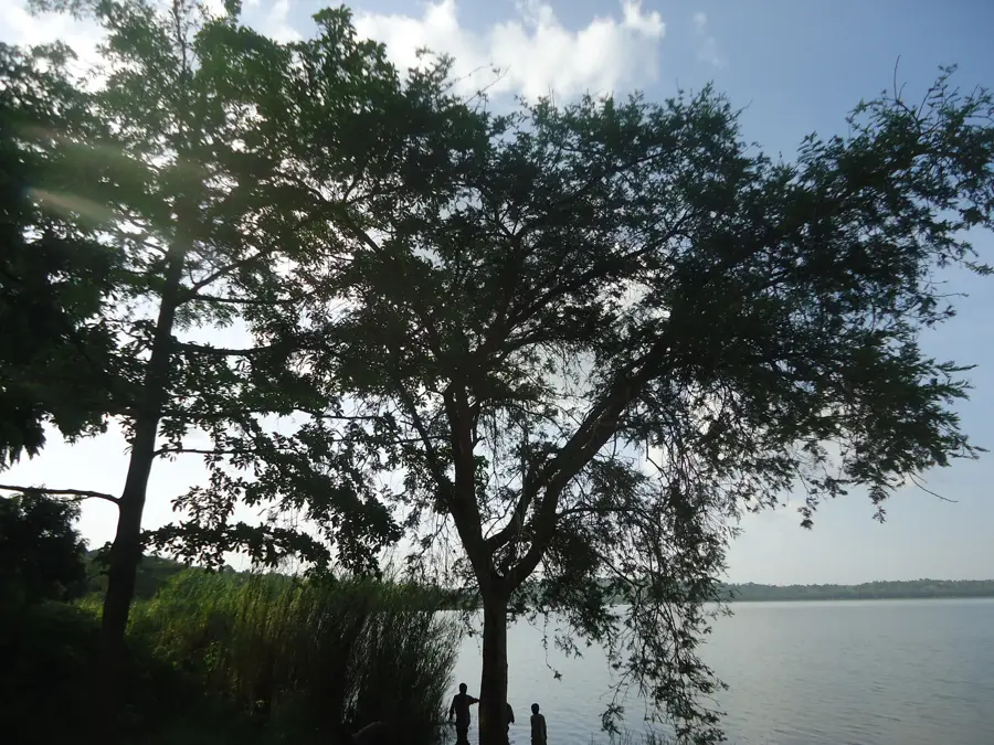
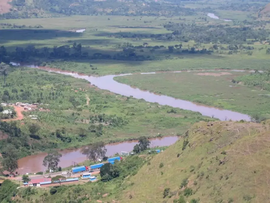
Quiet spots on the hills overlooking the winding Kagera River.
Walk outside the town center to enjoy the silence of the rural countryside.
Water temperature…
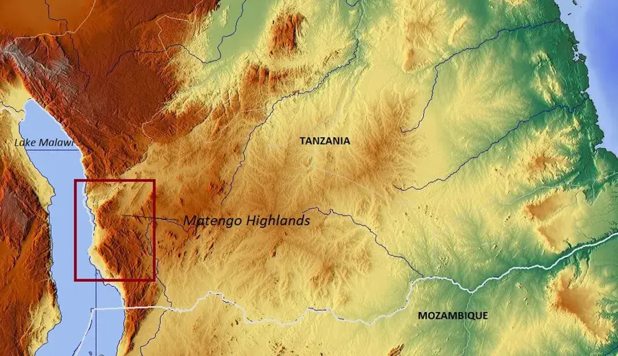
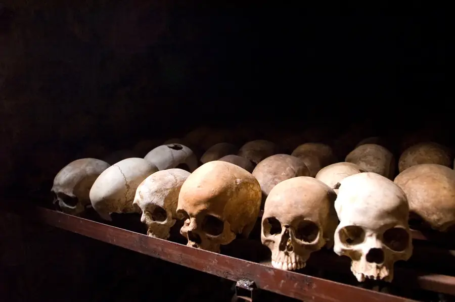
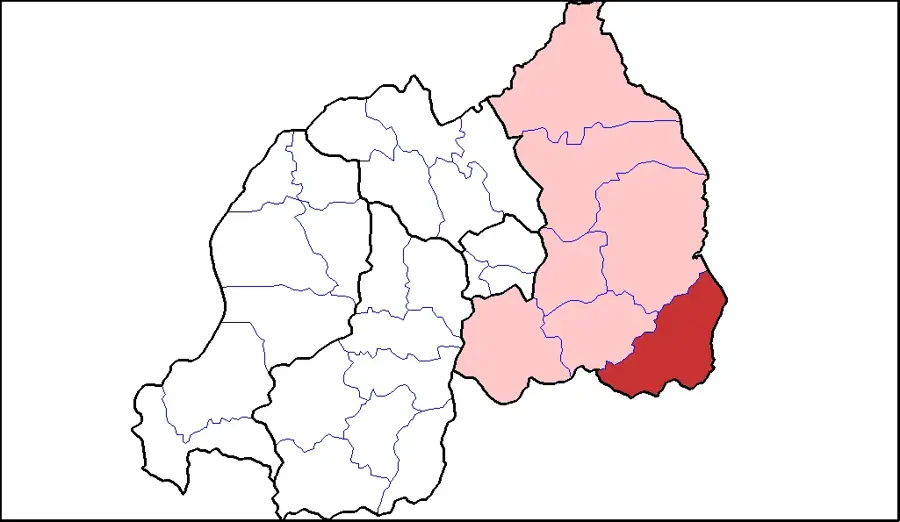
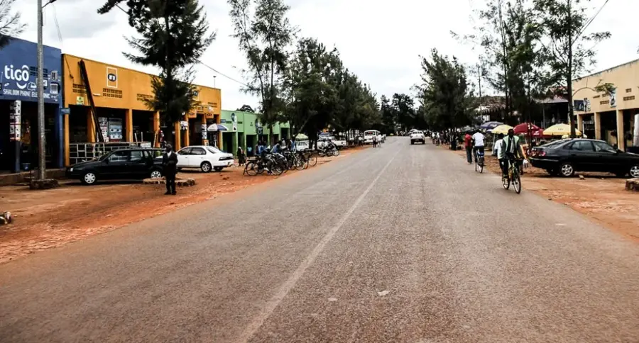
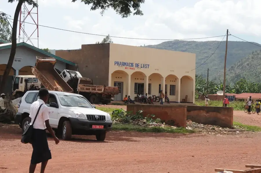
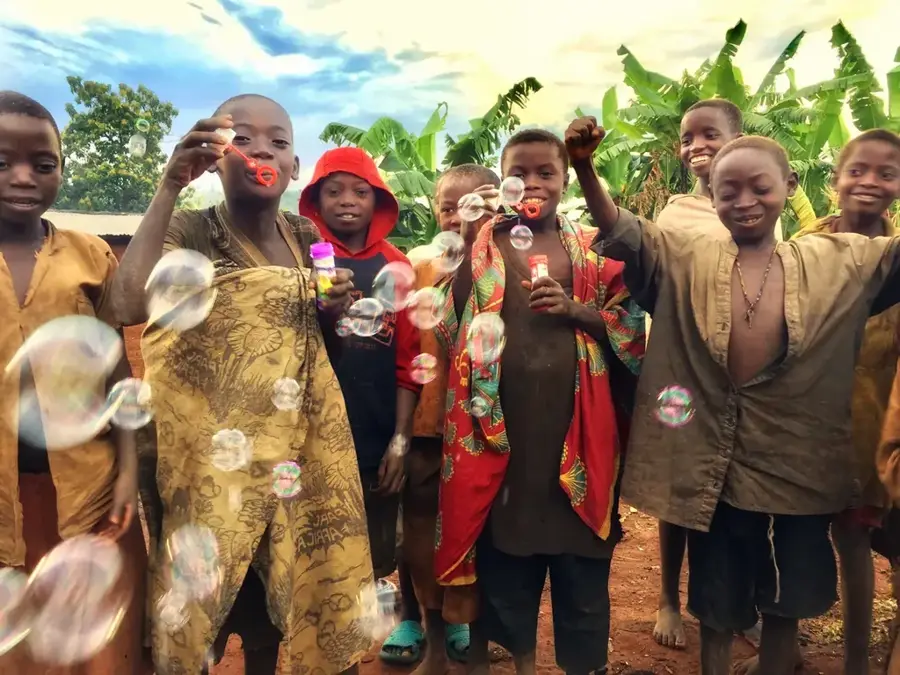
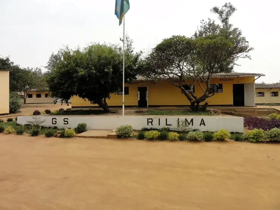
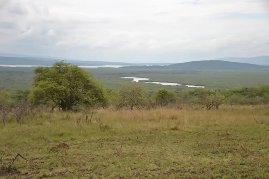
Ngara is a town located in the far northwestern corner of Tanzania in the Kagera Region, near the borders with Burundi and Rwanda. Its geographic location in the foothills of the Albertine Rift provides a hilly terrain with fertile volcanic soils, good for cultivating bananas, coffee, and beans. During the 1990s, Ngara gained international prominence as the site of massive refugee camps, most notably Benaco, during the Rwandan genocide crisis. These historical events left a lasting impact on the town's infrastructure, social fabric, and economic development. Today, Ngara serves as a vital commercial gateway for cross-border trade between Tanzania and its western neighbors. The town also functions as a central hub for local government administration and educational services in this remote borderland. The local culture is deeply rooted in the traditions of the Hangaza and Shubi ethnic groups, who share linguistic and cultural ties with the broader Great Lakes region.
- Location: Tanzania
- Nearby: Kibondo (90 km)
- Population: ~16.890 (2016)
Best time to visit & climate
The most pleasant time to visit is Jun–Aug.
| Jan | Feb | Mar | Apr | May | Jun | Jul | Aug | Sep | Oct | Nov | Dec | |
|---|---|---|---|---|---|---|---|---|---|---|---|---|
| Avg °C | 21 | 21 | 21 | 20 | 20 | 20 | 20 | 21 | 22 | 21 | 20 | 21 |
| Rain mm | 111 | 100 | 151 | 164 | 100 | 30 | 18 | 35 | 65 | 117 | 180 | 124 |
Geography
Facts
- The town is situated at an elevation of approximately 1,450 meters in the western highlands.
- Ngara was the epicenter of one of the largest refugee movements in history in 1994.
- The Benaco camp sheltered over 250,000 people within just a few days during the crisis.
- The primary economic exports of the region are Arabica coffee and various types of beans.
- The town is located near the Rusumo Falls, which marks a significant border point with Rwanda.
- Annual rainfall in Ngara is relatively high, averaging over 1,000 mm per year.
Explore nearby
Notable places around
Route planner — Car & Motorhome
Where do you start? We build the route here, with stops and country notes along the way.
© OpenStreetMap contributors · OpenRouteService
Frequently asked questions
How much time is needed for Ngara?
Which season is suitable for Ngara?
How to travel to Ngara?
What is typical for the cuisine in Ngara?
Is Ngara a destination for families?
Ngara: where is it located?
Ngara: when is the best time to visit?
Ngara: why is it worth visiting?

Nearby cities
History & landmarks
Nature


More places