Plizio Visual Lab
Bugarama
ℹ️Practical info — Bugarama
▾
🌤 Weather — 5 days
📍 Nearby
Sights nearby
💡 Tips
- Arrive at the local markets early in the morning to find the freshest produce.
- Hire a motorcycle taxi (moto-taxi) for easy navigation around the unpaved rural roads.
- Dress modestly to show respect for the local rural customs.
- Carry cash in Burundian francs, as credit cards are almost never accepted.
- Learn a few basic Kirundi greetings to easily break the ice with locals.
🍽 Food
A traditional dish made of cassava leaves, ask for it in local village eateries.
Fresh fish from Lake Tanganyika, best found at the morning market.
Small fried fish, served as a popular street food snack.
🛍 Shopping · 🧘 Quiet spots
The central hub for fresh fruits, vegetables, and local crops.
Look for woven baskets and simple wooden crafts made by locals.
Ask locals for walking paths through the nearby lush agricultural fields.
Take a scenic, calm walk just a short distance outside the main town center.
Water temperature…
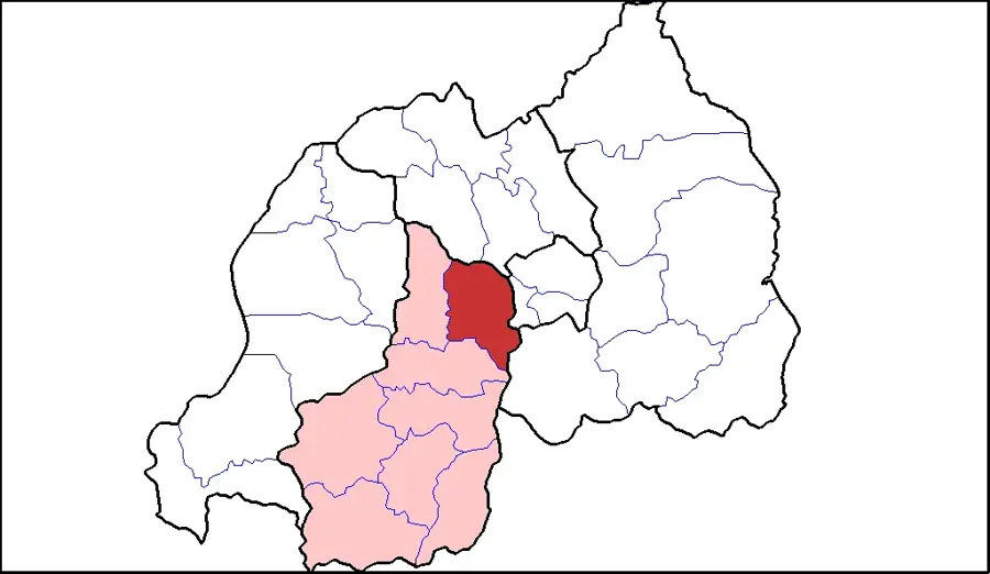
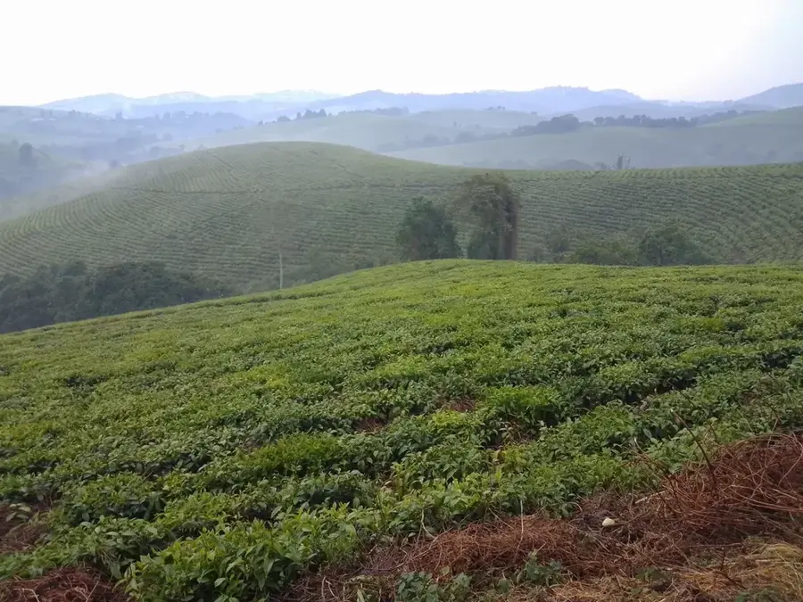
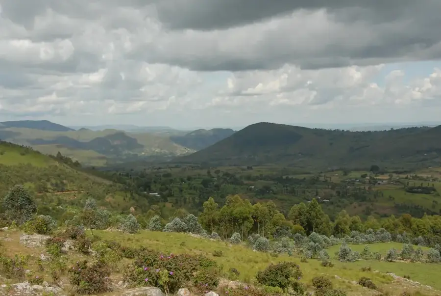
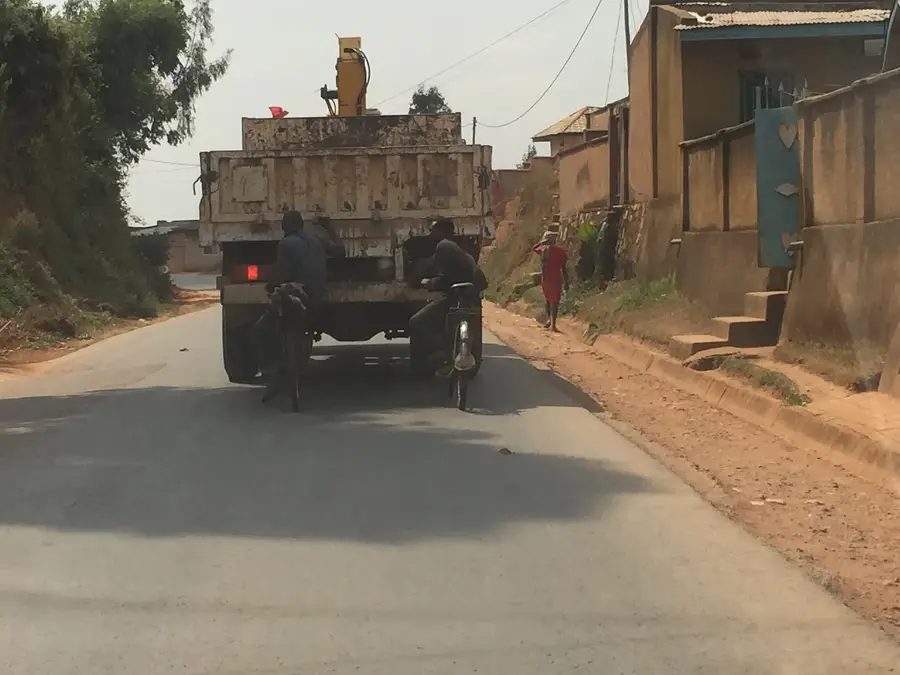
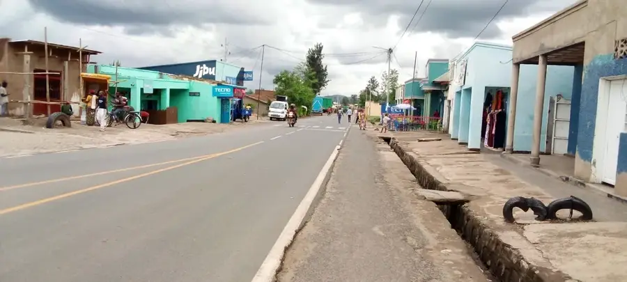
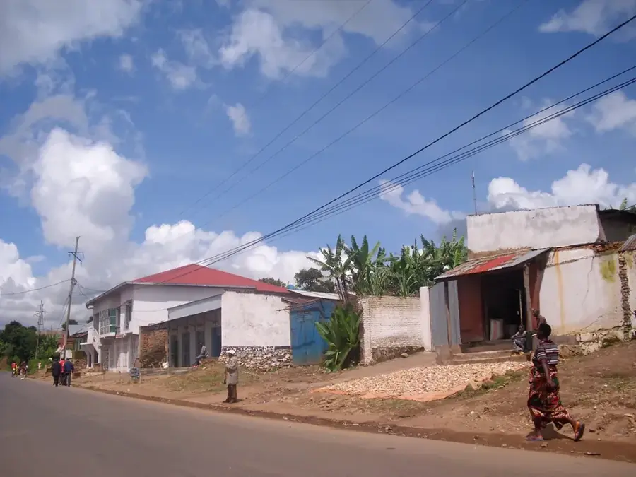
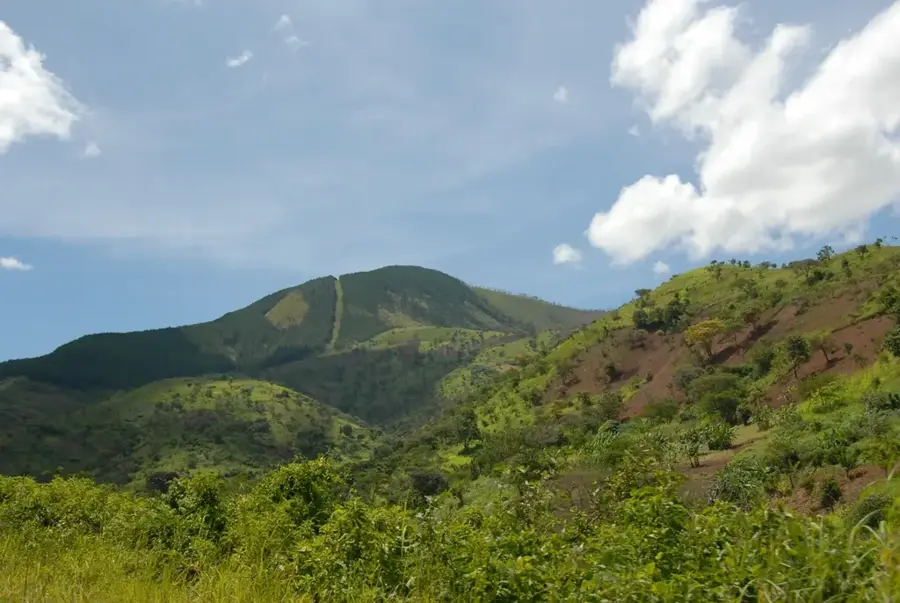
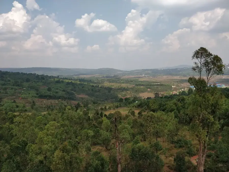
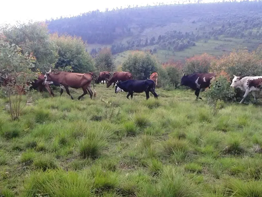
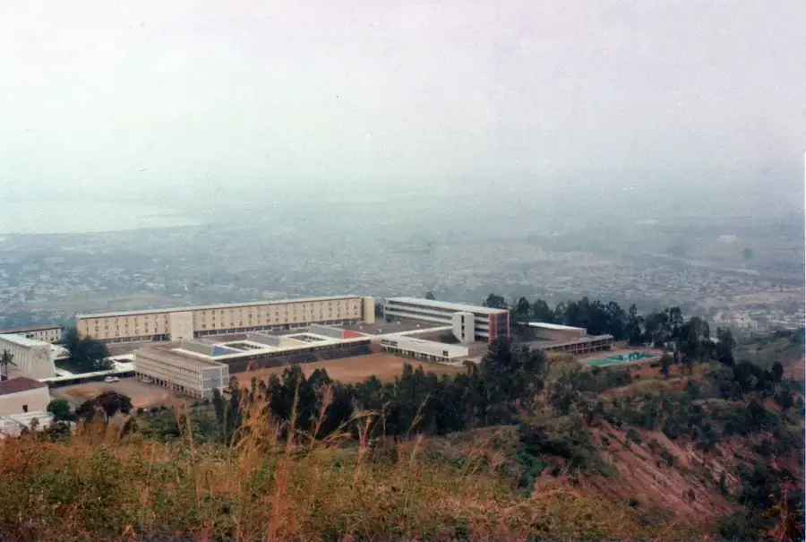
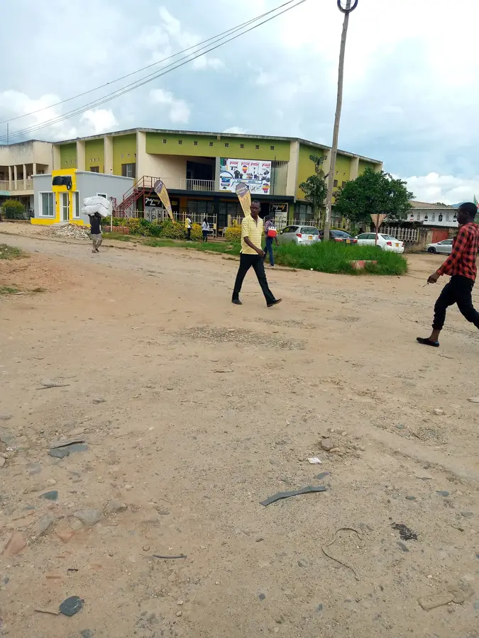
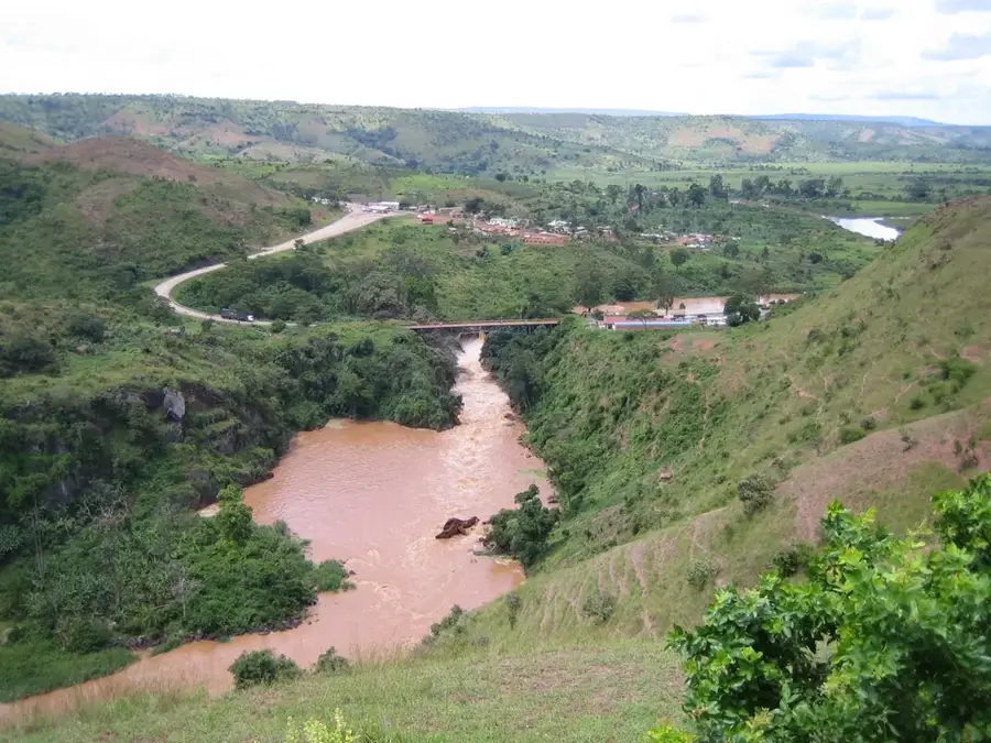
Bugarama is a vital transport junction and market center located in Muramvya Province, at a strategic crossroads in the central highlands of Burundi. The town is situated at a high altitude of over 2,100 meters, resulting in a cool and often misty climate that is excellent for large-scale tea cultivation. Bugarama is widely known as a essential stopover for travelers moving between the former capital Bujumbura, the political capital Gitega, and the northern provinces. The surrounding area is characterized by lush tea estates and its proximity to the Kibira National Park, one of Burundi's last remaining montane rainforests. Economically, the town thrives on its animated market, where fresh highland vegetables and traditional crafts are sold to passersby. Historically, the Muramvya region was the seat of the Burundian monarchy, and Bugarama lies within this culturally significant heartland. The town also serves as a hub for agricultural processing and provides essential social services to the surrounding mountain communities.
- Location: Burundi
- Nearby: Isale (9 km)
Best time to visit & climate
The most pleasant time to visit is Jun–Aug.
| Jan | Feb | Mar | Apr | May | Jun | Jul | Aug | Sep | Oct | Nov | Dec | |
|---|---|---|---|---|---|---|---|---|---|---|---|---|
| Avg °C | 21 | 22 | 22 | 21 | 21 | 20 | 20 | 21 | 22 | 22 | 21 | 21 |
| Rain mm | 202 | 168 | 219 | 213 | 94 | 29 | 15 | 42 | 94 | 172 | 341 | 219 |
Geography
Facts
- Strategic transport hub in the central highlands of Burundi.
- Elevated at over 2,100 meters above sea level.
- Significant center for tea cultivation and processing.
- Gateway to the Kibira National Park montane forest.
- Major stopover for travelers on the Bujumbura-Gitega road.
- Located within the historical heartland of the Burundian kings.
Explore nearby
Notable places around
Route planner — Car & Motorhome
Where do you start? We build the route here, with stops and country notes along the way.
© OpenStreetMap contributors · OpenRouteService
Frequently asked questions
Why is Bugarama known?
What can you do at the thermal springs?
Is Bugarama located in the mountains?
Are there dining options?
What is the climate in Bugarama?
Bugarama: where is it located?
Bugarama: when is the best time to visit?
Bugarama: why is it worth visiting?

Nearby cities
History & landmarks
Nature
More places