Plizio Visual Lab
Rurubu River

Weather…
Water temperature…
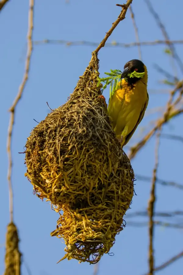
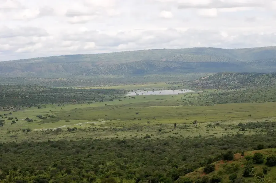
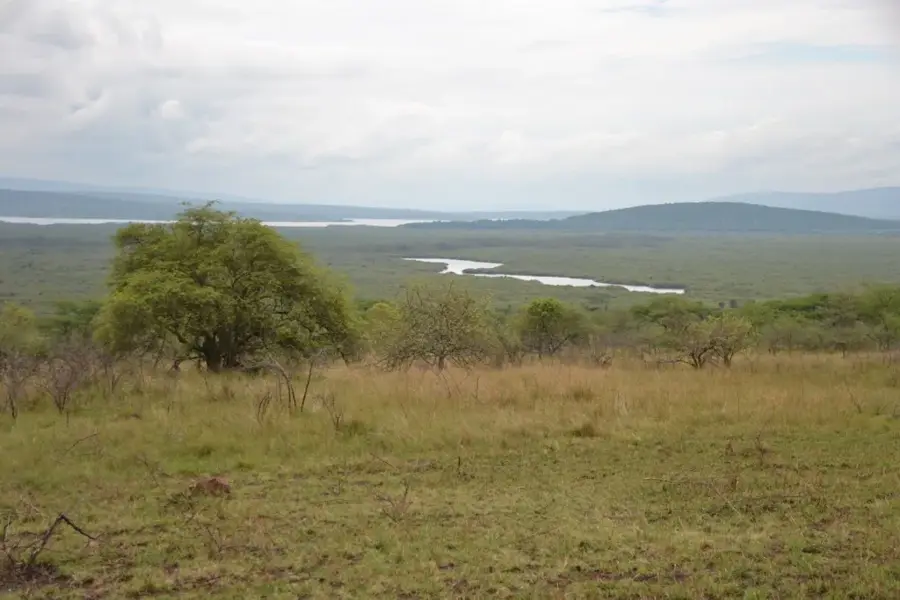
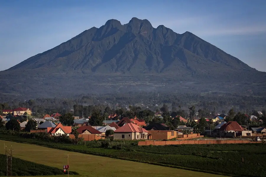
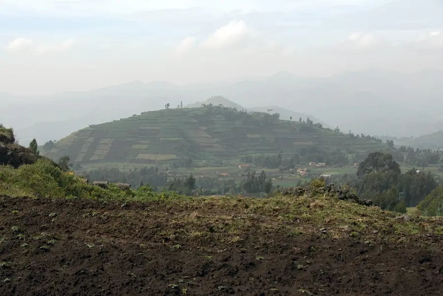
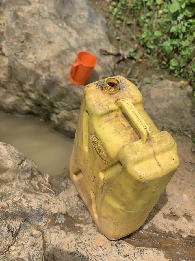
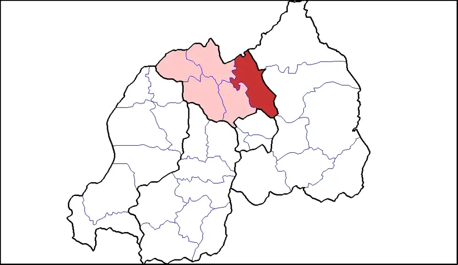
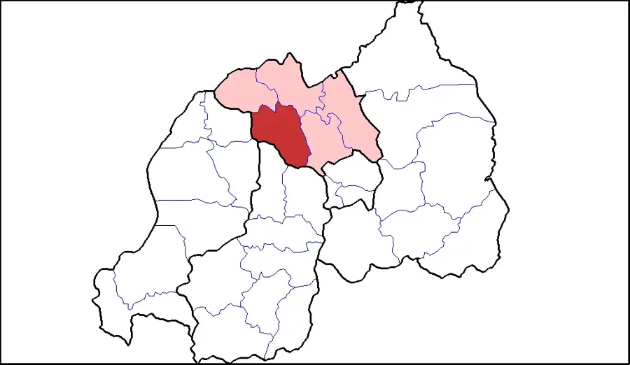
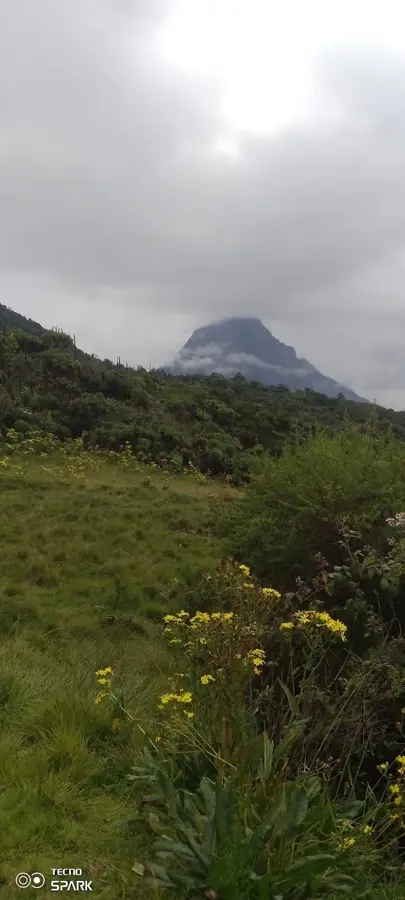
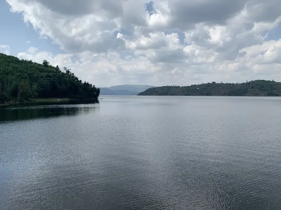
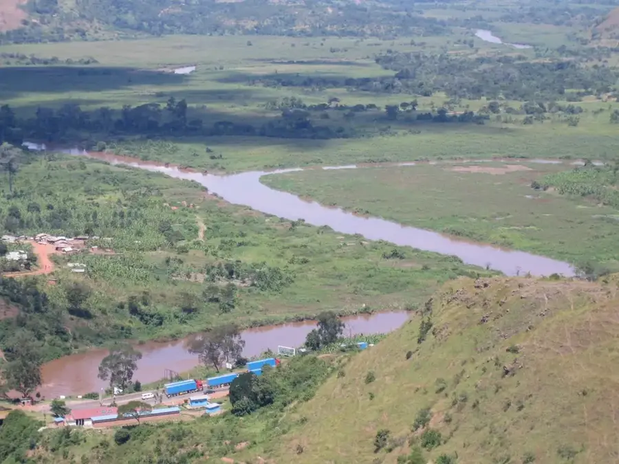
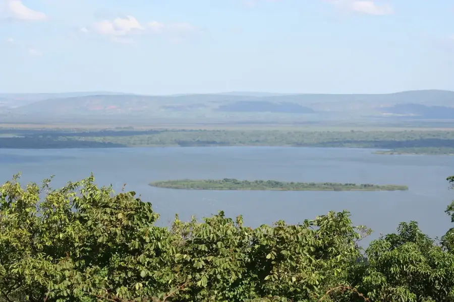
The Rurubu, also known as Ruvubu, is a major river in Burundi and a primary headwater of the Kagera River. It originates in northern Burundi and flows for approximately 300 kilometers in a northeasterly direction before merging with the Nyabarongo River at the Tanzanian border. The river gives its name to the Ruvubu National Park, Burundi's largest protected area, which preserves one of the country's last intact ecosystems. Rurubu plays a central role in the hydrology of the Lake Victoria basin and is regarded as one of the southernmost sources of the Nile. Its drainage basin features significant marshlands that provide habitats for hippopotamuses, crocodiles, and numerous migratory waterbirds. Human activities such as agriculture and artisanal gold mining present increasing challenges to the river's water quality.
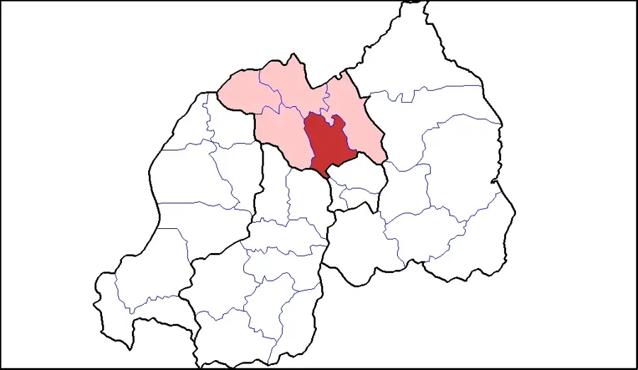
- Location: Rwanda
- Nearby: Gashora (24 km)
Best time to visit & climate
The most pleasant time to visit is Jun–Aug.
| Jan | Feb | Mar | Apr | May | Jun | Jul | Aug | Sep | Oct | Nov | Dec | |
|---|---|---|---|---|---|---|---|---|---|---|---|---|
| Avg °C | 21 | 21 | 21 | 20 | 20 | 20 | 20 | 21 | 22 | 21 | 20 | 21 |
| Rain mm | 111 | 100 | 151 | 164 | 100 | 30 | 18 | 35 | 65 | 117 | 180 | 124 |
📋 Practical info
Geography
Facts
- The river spans a total length of approximately 300 kilometers.
- Central feature of Burundi's Ruvubu National Park.
- Recognized as one of the southernmost headwaters of the Nile.
- Forms a portion of the international border with Tanzania.
- Home to substantial populations of hippos and Nile crocodiles.
- Confluence with the Nyabarongo creates the Kagera River.
Explore nearby
Notable places around
Route planner — Car & Motorhome
Where do you start? We build the route here, with stops and country notes along the way.
© OpenStreetMap contributors · OpenRouteService
Sights in the town Rurubu River (1)
Sights nearby
Frequently asked questions
What is special about the Rurubu River?
Is the river developed for tourism?
Can you fish there?
What is the best way to get there?
Are there natural risks?
Rurubu River: where is it located?
Rurubu River: when is the best time to visit?
Rurubu River: why is it worth visiting?

Nearby cities


History & landmarks
Nature

More places