Plizio Visual Lab
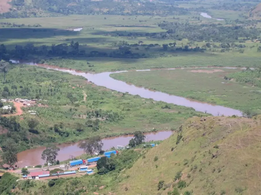
Akagera River
Weather…
Water temperature…
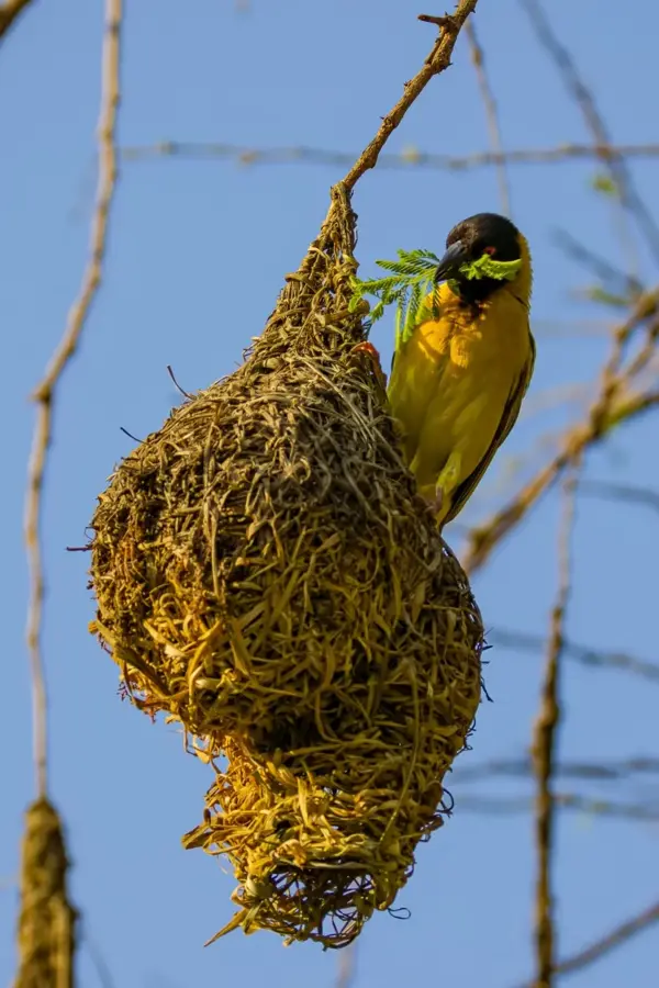
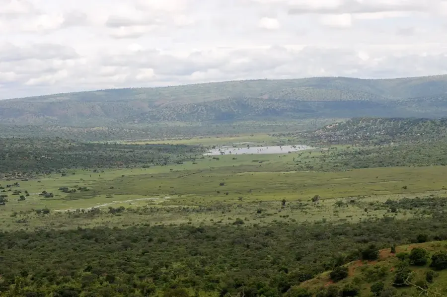
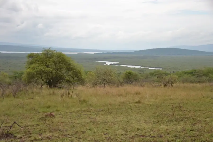
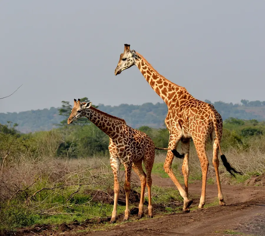
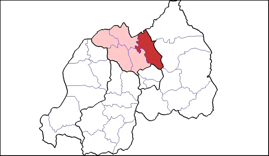
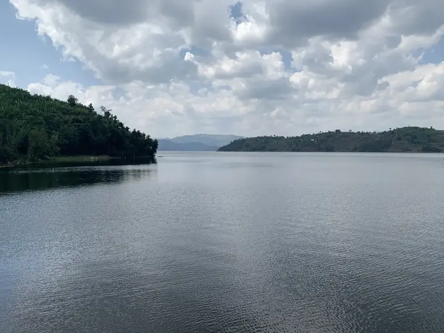
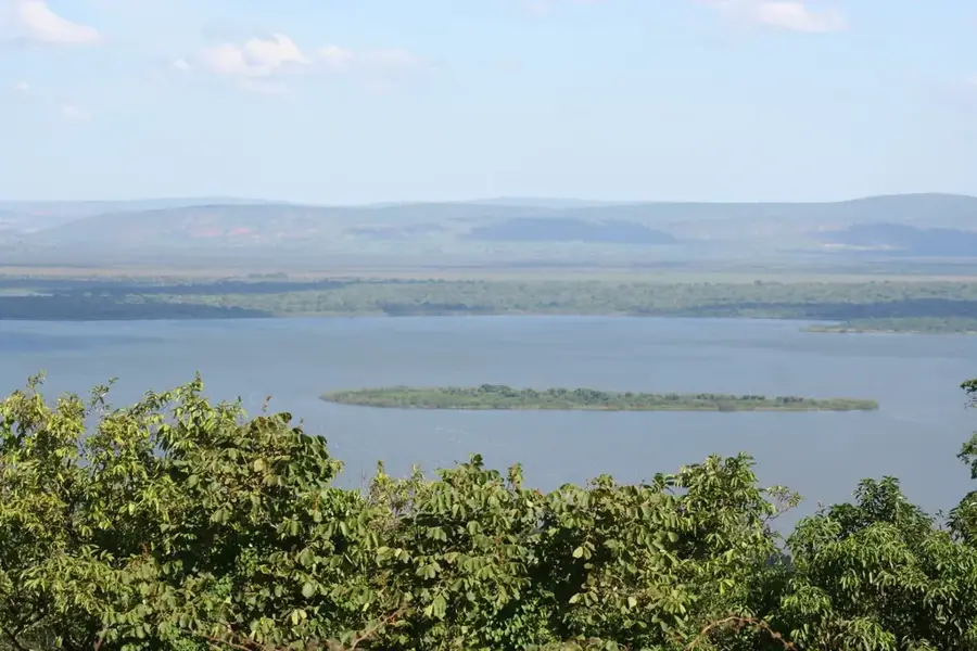
The Akagera River (also known as the Kagera) is the most significant tributary of Lake Victoria and is widely considered one of the primary sources of the Nile. It originates in the highlands of Burundi and Rwanda, serving for much of its course as the natural border between Rwanda and Tanzania. The river flows through a complex network of lakes and papyrus swamps that form the heart of Akagera National Park. Geographically, the river is essential to the regional ecosystem, sustaining the surrounding wetlands year-round. Historically, the river channel was a major geographical boundary during the colonial era and unfortunately became a site of tragic significance during the 1994 genocide. Today, the Akagera River is a symbol of Rwanda's environmental restoration, supporting a vast array of wildlife including hippopotamuses and large Nile crocodiles. The river's nutrient-rich sediments are vital for agricultural productivity in eastern Rwanda. Management of the river basin involves transboundary cooperation to ensure the sustainable use of its water resources for the entire region.
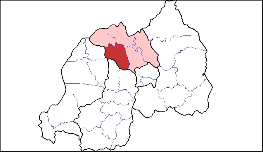
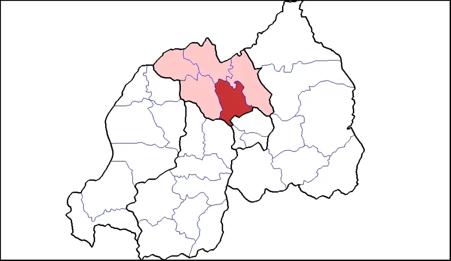
- Location: Rwanda
- Nearby: Ngoma (5 km)
Best time to visit & climate
The most pleasant time to visit is Jun–Aug.
| Jan | Feb | Mar | Apr | May | Jun | Jul | Aug | Sep | Oct | Nov | Dec | |
|---|---|---|---|---|---|---|---|---|---|---|---|---|
| Avg °C | 21 | 22 | 21 | 20 | 20 | 20 | 20 | 21 | 21 | 21 | 20 | 21 |
| Rain mm | 93 | 89 | 145 | 167 | 127 | 42 | 26 | 47 | 86 | 125 | 157 | 103 |
📋 Practical info
Geography
Facts
- The total length of the Akagera River is approximately 597 kilometers.
- The river empties into Lake Victoria in northwestern Tanzania.
- Akagera forms the largest wetland system in East Africa.
- The average discharge rate is about 145 cubic meters per second.
- Papyrus swamps along the river can grow up to 5 meters in height.
- The river basin drains an area of over 60,000 square kilometers.
Explore nearby
Notable places around
Route planner — Car & Motorhome
Where do you start? We build the route here, with stops and country notes along the way.
© OpenStreetMap contributors · OpenRouteService
Sights nearby
Frequently asked questions
Can you boat on the river?
What can you see from the boat?
Is it safe?
What is the best time?
Do I need to book in advance?
Akagera River: where is it located?
Akagera River: when is the best time to visit?
Akagera River: why is it worth visiting?

Nearby cities


History & landmarks
Nature


More places