Plizio Visual Lab
Bukeye

ℹ️Practical info — Bukeye
▾
🌤 Weather — 5 days
📍 Nearby
Sights nearby
💡 Tips
- Expect steep, unpaved roads; a 4x4 vehicle is highly recommended for exploring.
- The economy relies on tea and coffee; ask a local for a casual tour of the fields.
- Bring all necessary supplies from larger towns, as specialized shops are unavailable.
- The climate is significantly milder due to the elevation, making a sweater useful for evenings.
- Modest dressing is highly appreciated out of respect for this traditional rural community.
🍽 Food
Drink freshly roasted and brewed coffee sourced directly from the surrounding hills.
Try this simple but hearty everyday staple dish at a local eatery.
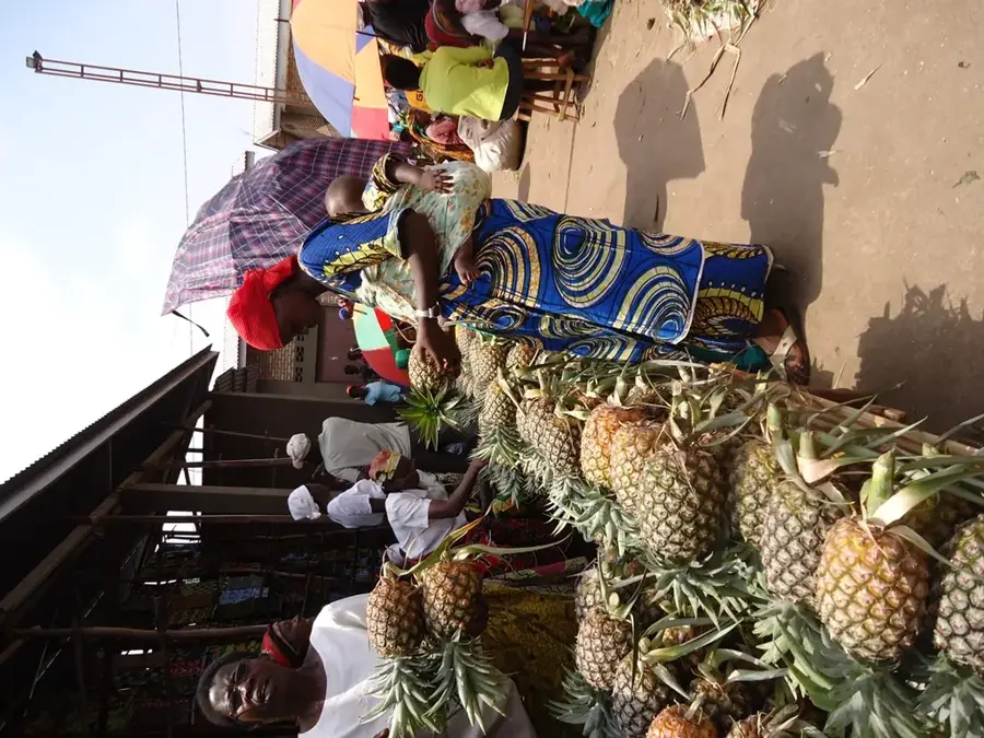
Buy fresh, small, and incredibly sweet bananas directly from the farmers.
🛍 Shopping · 🧘 Quiet spots
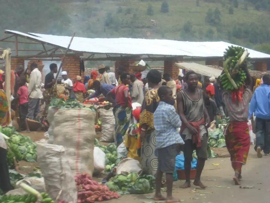
Visit the weekly village market for the freshest regional fruits and vegetables.
Purchase raw coffee beans or fresh tea leaves directly from the source.
Hike the surrounding hills and enjoy the panoramic views over the plantations.
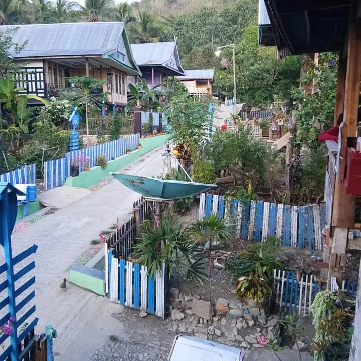
Take a walk on the peaceful dirt roads connecting the rural homesteads.
Water temperature…
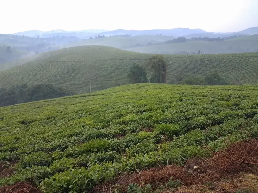
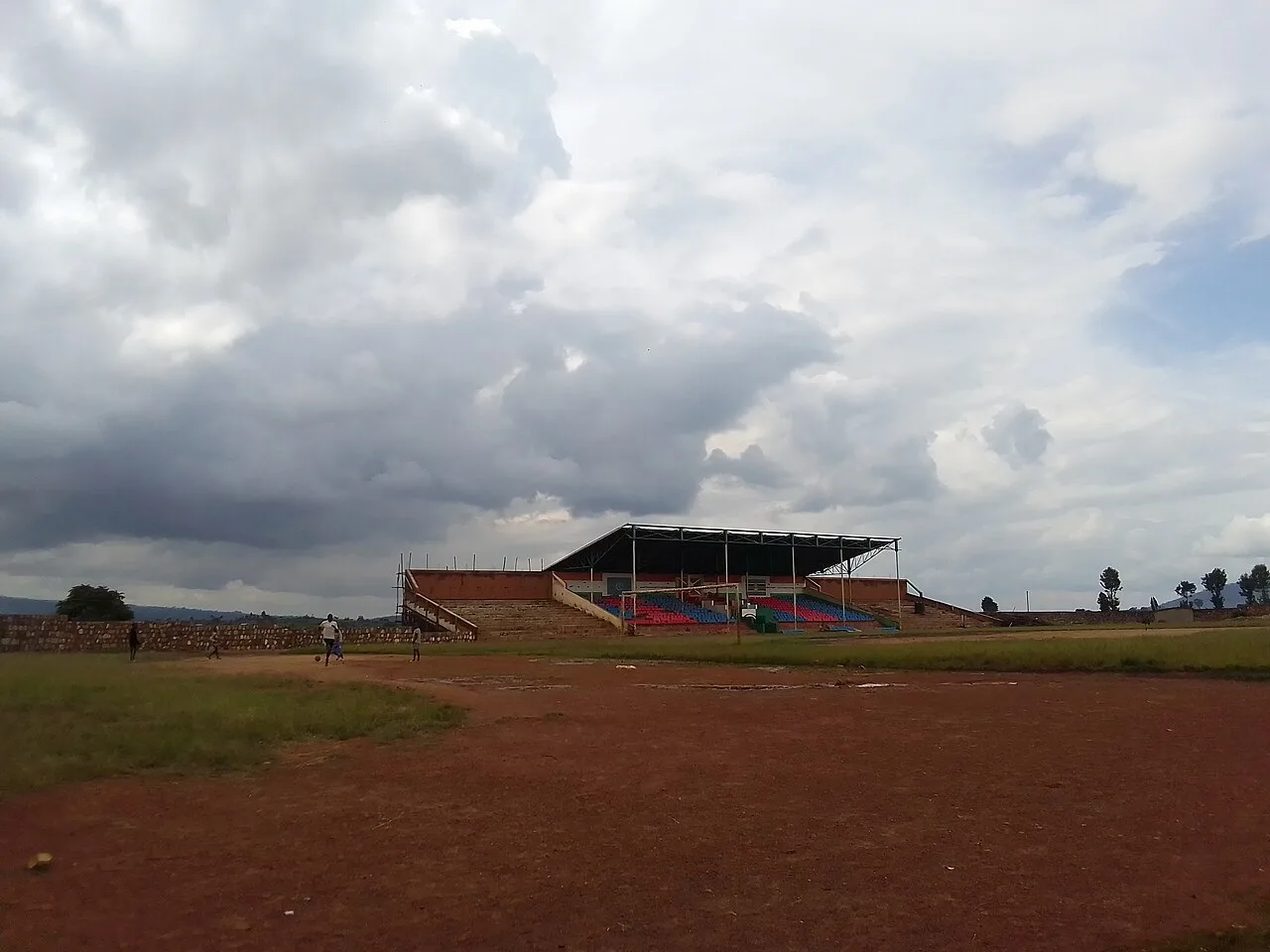
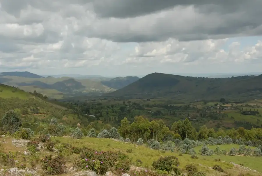
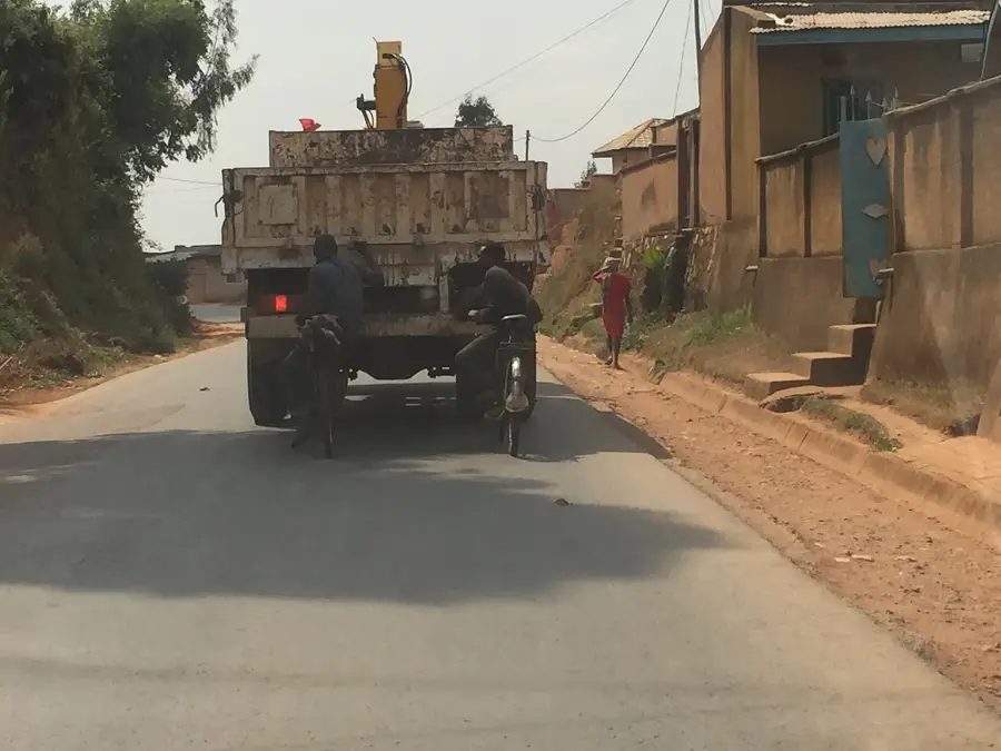
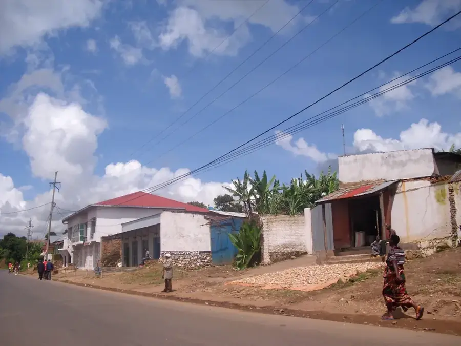
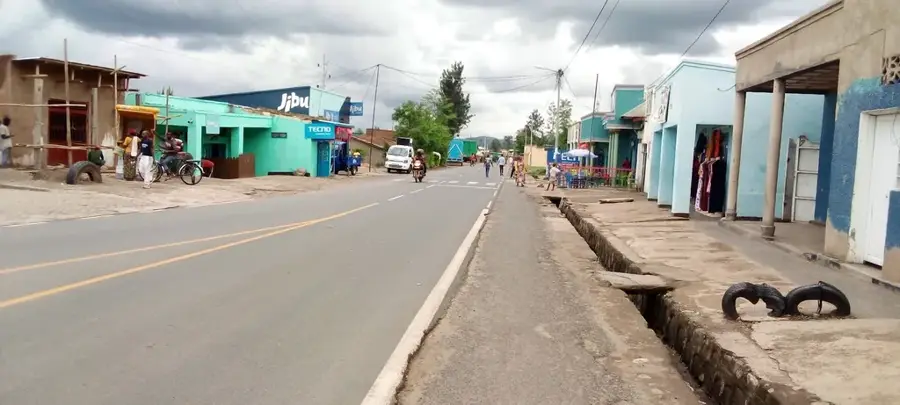
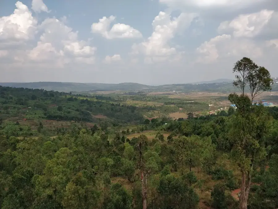
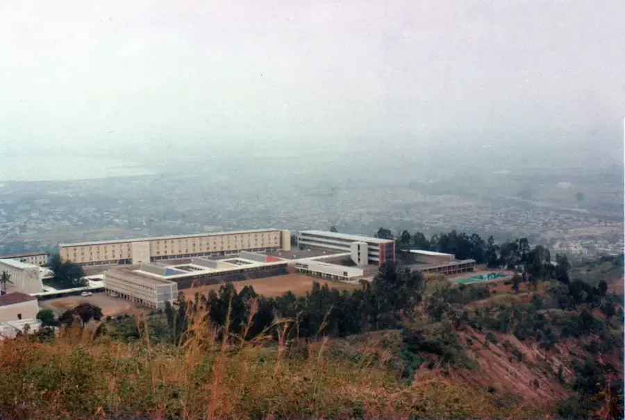
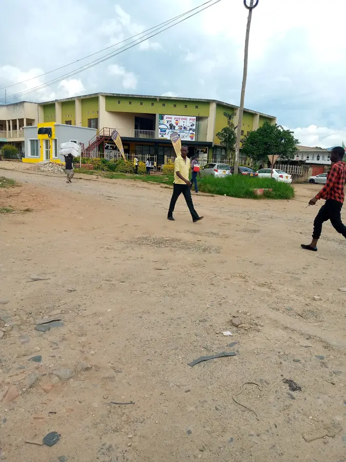
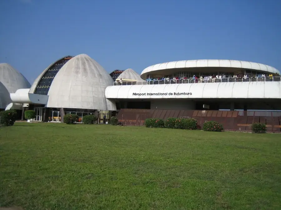
Bukeye is a commune steeped in history within the Muramvya Province, once considered the spiritual and political heart of the Kingdom of Burundi. This region was traditionally where the kings (Bami) were crowned and where important ritual sites were maintained, lending Bukeye a unique cultural aura. Geographically, Bukeye is located in the central highlands, characterized by mist-covered mountains and a cool, fresh atmosphere heavily influenced by the nearby Kibira National Park. Agriculture in Bukeye is well-diversified; alongside the ubiquitous coffee farming, the region is famous for its high-quality tea plantations that thrive on the regular rainfall. The town of Bukeye itself functions as the administrative center for the commune and serves as a major transit point on the highway connecting Bujumbura and Gitega. Here, tradition and modernity intersect as residents proudly uphold their cultural heritage while contributing significantly to the national economy.
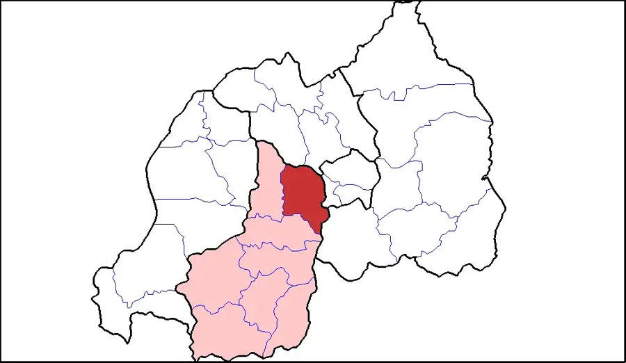
- Location: Burundi
- Nearby: Muramvya (4 km)
Best time to visit & climate
The most pleasant time to visit is Jun–Aug.
| Jan | Feb | Mar | Apr | May | Jun | Jul | Aug | Sep | Oct | Nov | Dec | |
|---|---|---|---|---|---|---|---|---|---|---|---|---|
| Avg °C | 21 | 21 | 21 | 20 | 20 | 19 | 20 | 21 | 22 | 21 | 21 | 21 |
| Rain mm | 158 | 132 | 184 | 175 | 83 | 34 | 19 | 49 | 95 | 157 | 284 | 175 |
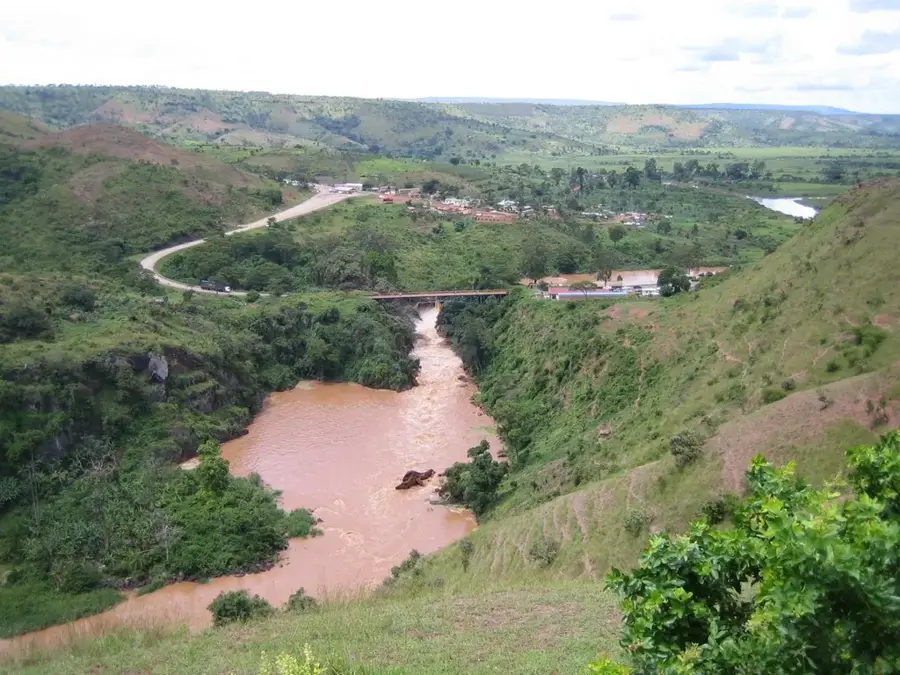
Geography
Facts
- Located in Muramvya Province at an altitude exceeding 1,900 meters.
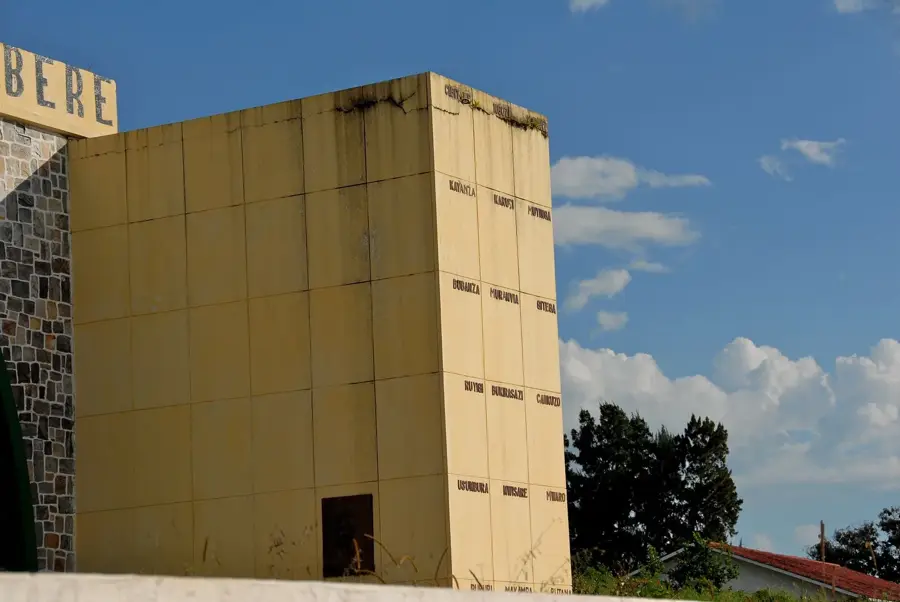
- Historically part of the traditional capital region of the Kingdom of Burundi.
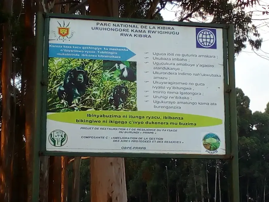
- The area borders the Kibira National Park, a critical primary rainforest.
- Tea is a major export commodity for the Bukeye commune alongside coffee.
- Average temperatures are noticeably cooler than in the surrounding lowlands.
- Bukeye is home to several significant historical burial sites of Burundian kings.
Explore nearby
Notable places around
Route planner — Car & Motorhome
Where do you start? We build the route here, with stops and country notes along the way.
© OpenStreetMap contributors · OpenRouteService
Sights in the town Bukeye (1)
Frequently asked questions
Why visit Bukeye?
What is the best clothing?
Are there hotels there?
What is the main dish of the region?
How is the water quality?
Bukeye: where is it located?
Bukeye: when is the best time to visit?
Bukeye: why is it worth visiting?

Nearby cities

History & landmarks
Nature
More places