Plizio Visual Lab
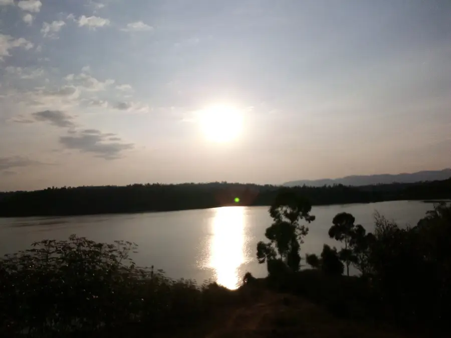
Lake Cyohoha

Weather…
Water temperature…
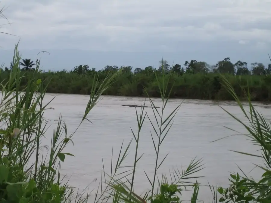
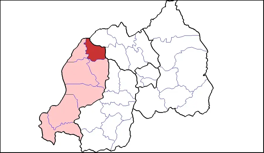
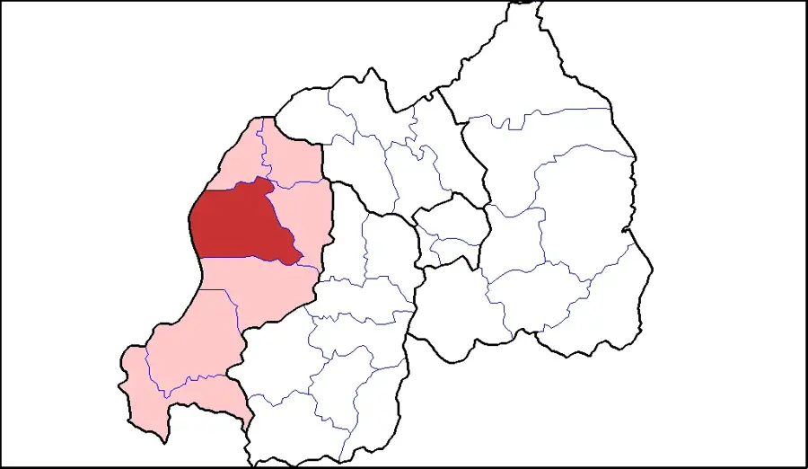
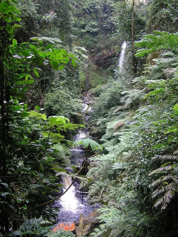
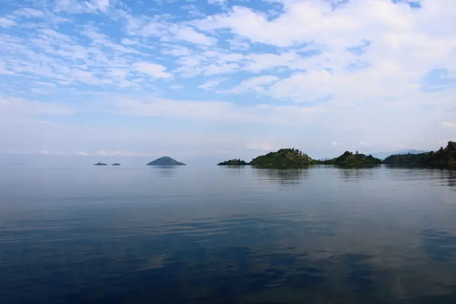
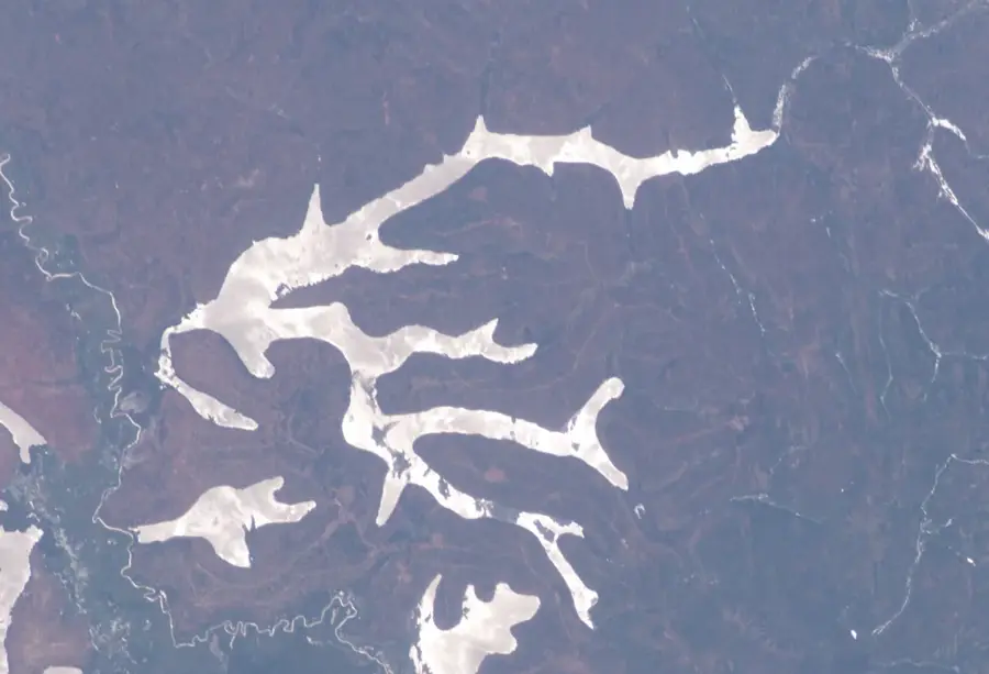
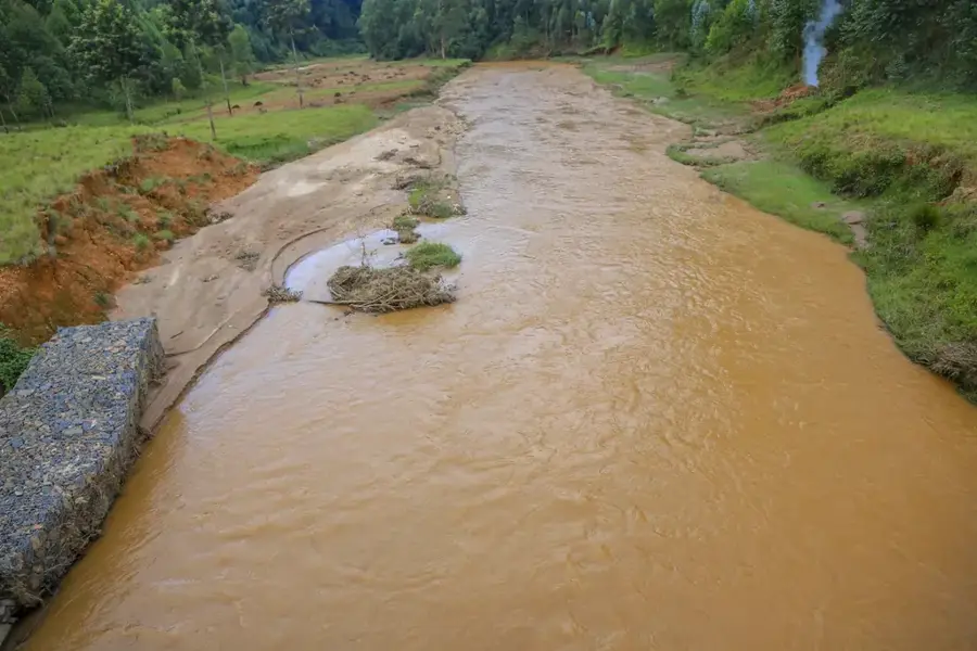
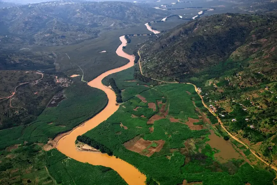
Lake Cyohoha, divided into North and South basins, stretches along the border between Rwanda and Burundi in the southern reaches of the country. Geographically, the lake is characterized by its narrow, elongated shape and relatively shallow depth, often resembling a vast wetland system rather than a deep body of water. The northern section lies entirely within Rwanda, while the southern part delineates the international boundary. Over the past decades, the lake has undergone significant ecological shifts, including a severe period of desiccation in the early 2000s caused by climate variability and intensive agricultural practices. The shoreline vegetation consists primarily of papyrus and reeds, making it a sanctuary for rare waterfowl. For the surrounding districts, the lake is a vital resource for fishing and the irrigation of rice paddies. Current conservation measures are focused on stabilizing water levels and regulating resource extraction by local communities to preserve this important transboundary ecosystem for future generations.
- Location: Rwanda
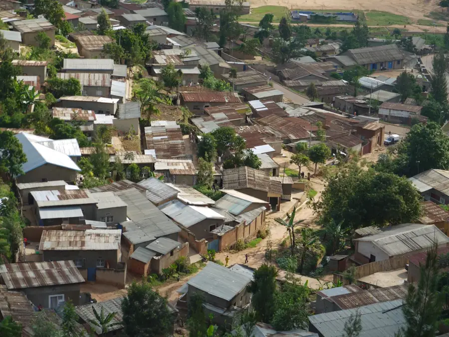
- Nearby: Gashora (14 km)
Best time to visit & climate
The most pleasant time to visit is Jun–Aug.
| Jan | Feb | Mar | Apr | May | Jun | Jul | Aug | Sep | Oct | Nov | Dec | |
|---|---|---|---|---|---|---|---|---|---|---|---|---|
| Avg °C | 21 | 21 | 21 | 20 | 20 | 19 | 20 | 21 | 22 | 21 | 20 | 20 |
| Rain mm | 119 | 107 | 154 | 170 | 101 | 36 | 20 | 42 | 74 | 124 | 191 | 131 |
📋 Practical info
Geography
Facts
- The lake is situated at an average elevation of 1,350 meters.
- The southern portion of the lake serves as a natural border with Burundi.
- Between 2000 and 2005, the lake's water levels experienced a dramatic decline.
- The region receives approximately 1,100 mm of rainfall annually.
- The lake area is a significant habitat for the Sitatunga antelope.
- Fishing is the primary source of income for thousands of local residents.
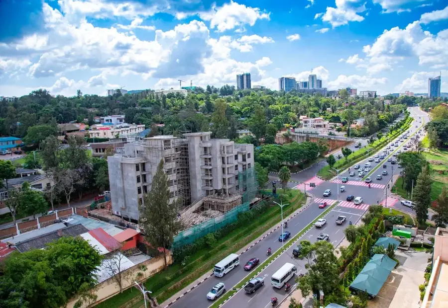
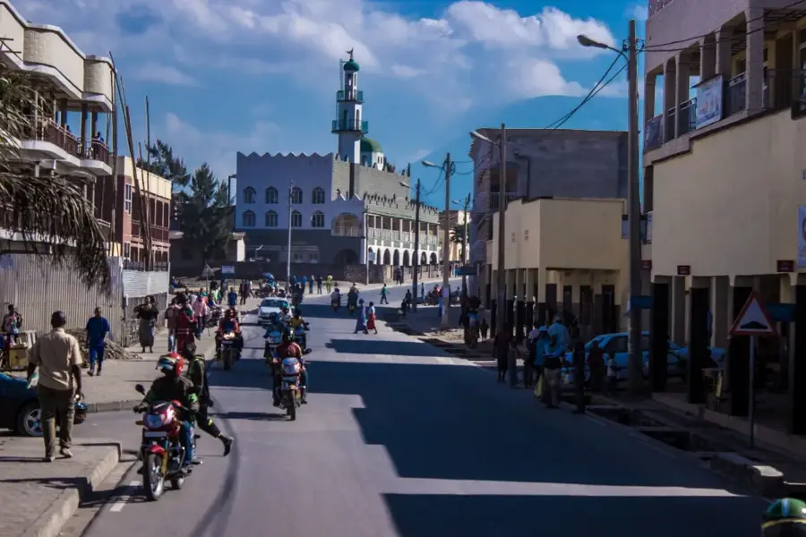
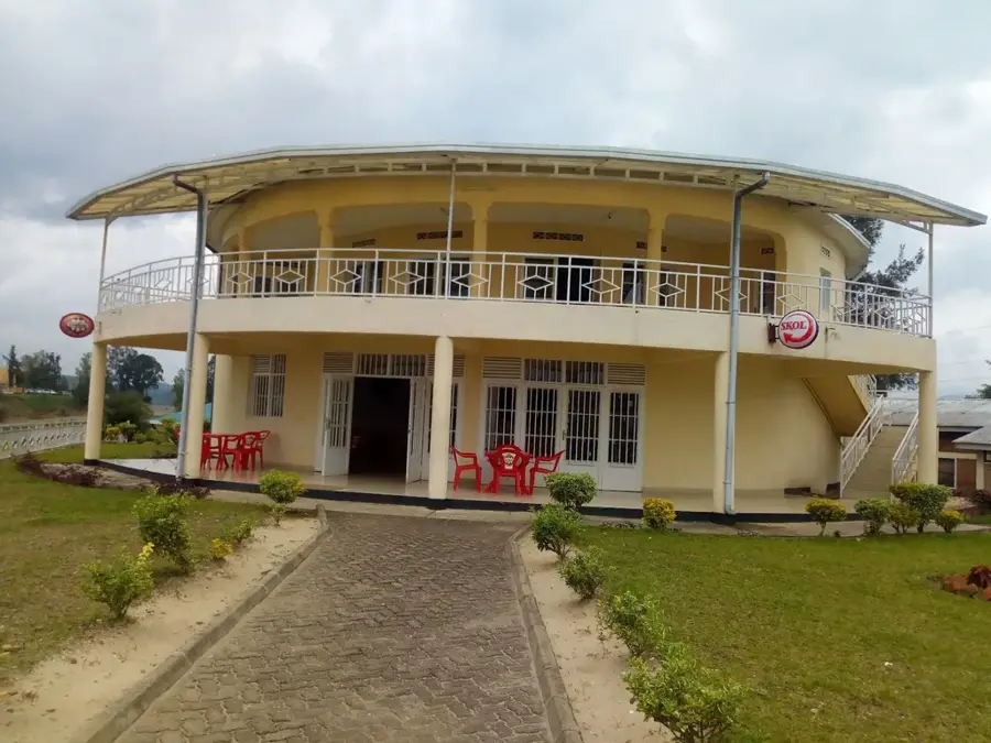
Explore nearby
Notable places around
Route planner — Car & Motorhome
Where do you start? We build the route here, with stops and country notes along the way.
© OpenStreetMap contributors · OpenRouteService
Sights nearby
Frequently asked questions
What can you do at Lake Cyohoha?
Is the lake safe for visitors?
How do you get there?
Are there accommodations there?
Is a pair of binoculars useful?
Lake Cyohoha: where is it located?
Lake Cyohoha: when is the best time to visit?
Lake Cyohoha: why is it worth visiting?

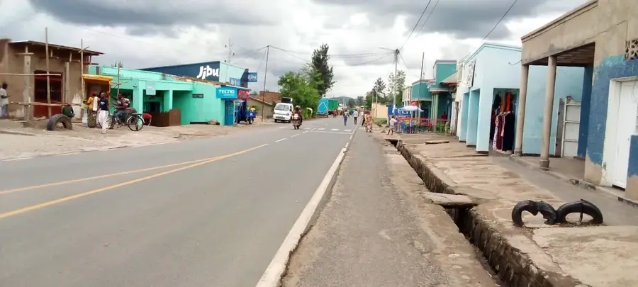
Nearby cities
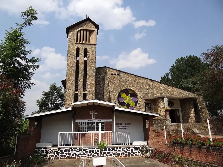
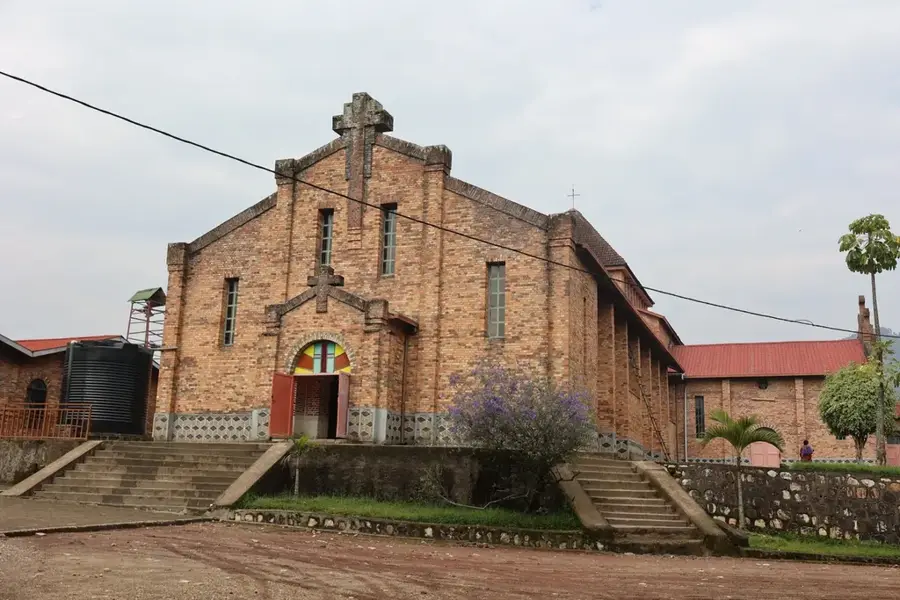

History & landmarks
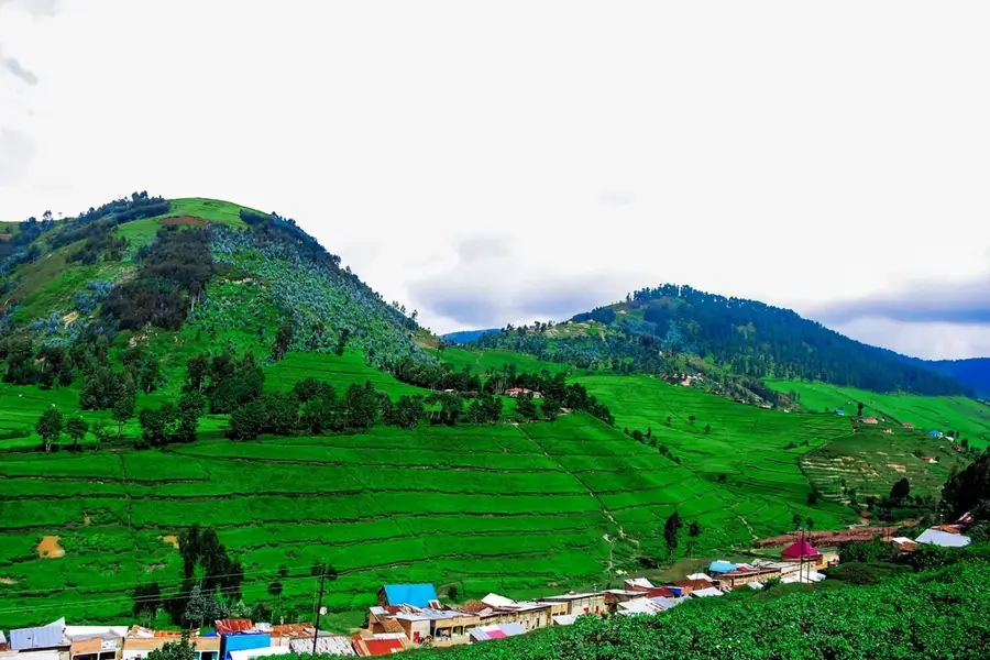
Nature
More places