Plizio Visual Lab
Gacko Polje
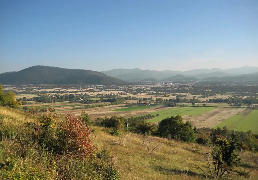
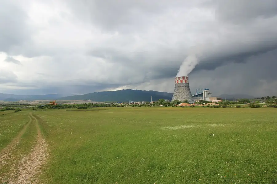
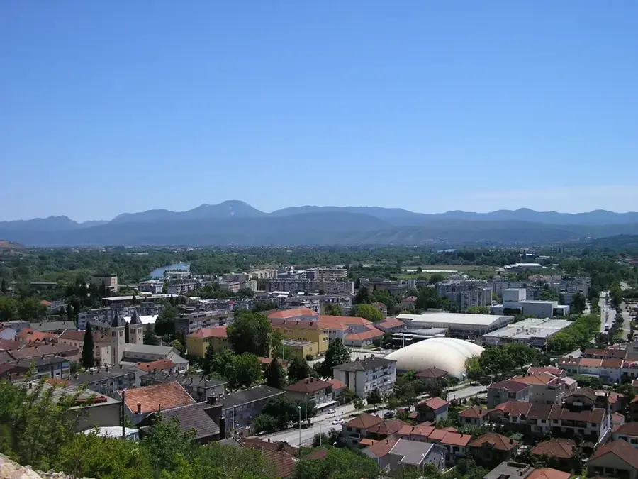
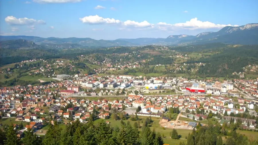
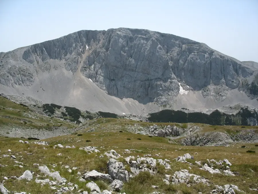
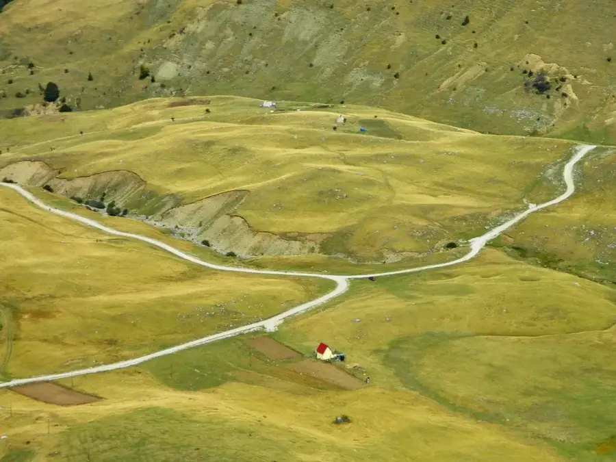
Gacko Polje is an extensive karst field in eastern Herzegovina, situated at an average altitude of about 940 meters above sea level. It is one of the highest poljes in the Dinaric Alps, spanning an area of roughly 57 square kilometers. Surrounded by the massive mountain ranges of Volujak, Lebršnik, and Bjelašnica (Herzegovina), the field is characterized by extreme climatic conditions with long, cold winters. The hydrological network is dominated by the Mušnica River, which flows through the field and disappears into the region's ponors. Near the town of Gacko lies one of the country's largest brown coal deposits, utilized since 1983 by a major thermal power plant that has permanently altered the landscape. Despite the industrial presence, Gacko Polje provides vast grazing lands traditionally used for livestock farming, particularly for the Gacko cattle breed. The geomorphological features of the field, including its dolines and cave systems, are of great interest to geologists. The historical importance of the field as a pass between the Adriatic and the interior is reflected in numerous archaeological finds from various eras.
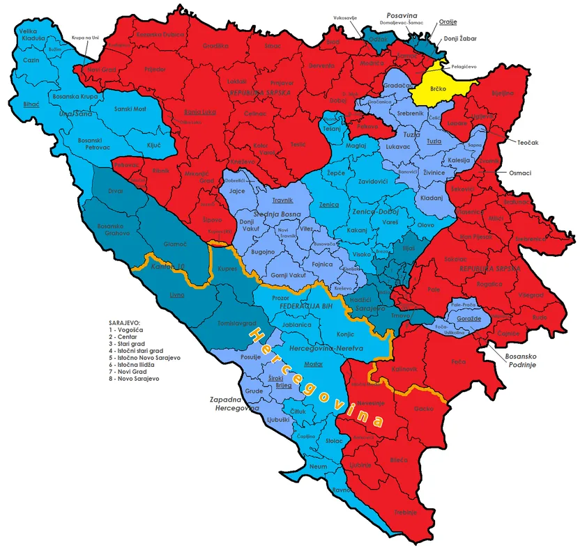
- Location: Bosnia and Herzegovina
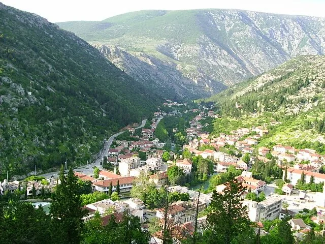
- Top sights: Gacko · Radio Gacko · Pridvorica, Gacko
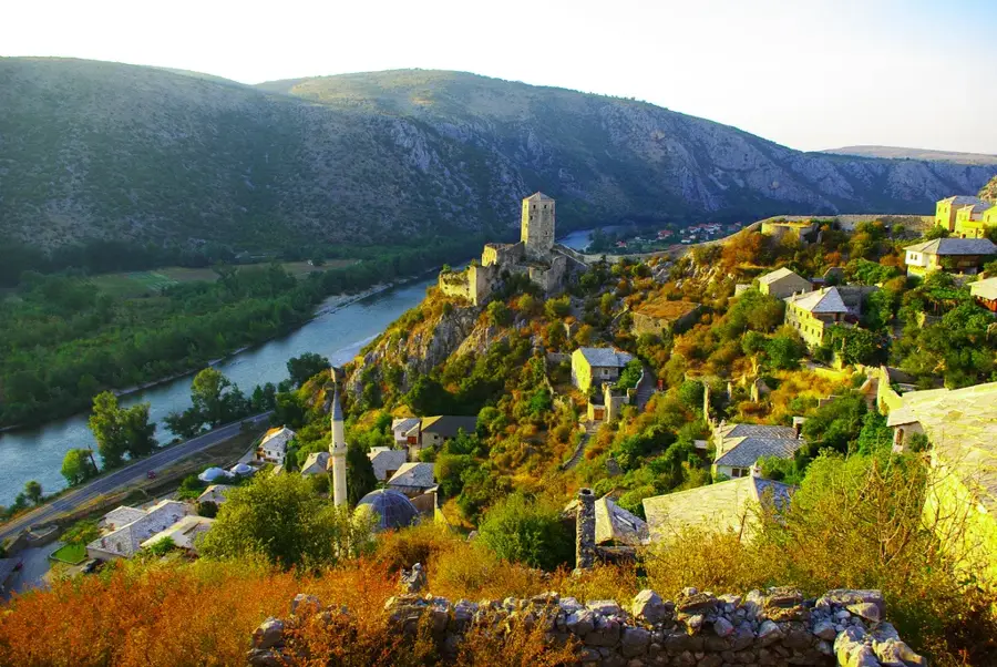
- Nearby: Sutjeska National Park (23 km)
Best time to visit & climate
The most pleasant time to visit is Jun–Aug.
| Jan | Feb | Mar | Apr | May | Jun | Jul | Aug | Sep | Oct | Nov | Dec | |
|---|---|---|---|---|---|---|---|---|---|---|---|---|
| Avg °C | -2 | -1 | 2 | 7 | 11 | 15 | 18 | 18 | 13 | 9 | 4 | -1 |
| Rain mm | 134 | 131 | 121 | 93 | 89 | 83 | 52 | 49 | 104 | 124 | 162 | 152 |
📋 Practical info
Geography
Facts
- Gacko Polje is situated at an elevation between 930 and 960 meters.
- The total area of the karst basin is approximately 57 square kilometers.
- The Gacko thermal power plant produces about one-third of Republika Srpska's electricity.
- The Mušnica River sinks into ponors located at the edge of the field.
- The average temperature in January is frequently below freezing.
- Gacko is famous for its specific cattle breed, the 'Gacko cattle'.
Explore nearby
Notable places around
Route planner — Car & Motorhome
Where do you start? We build the route here, with stops and country notes along the way.
© OpenStreetMap contributors · OpenRouteService
Sights in the town Gacko Polje (3)
Sights nearby
Frequently asked questions
What is Gacko Polje?
Which town is located in this field?
What dominates the landscape?
Are there natural attractions there?
What is the climate like in Gacko?
Gacko Polje: where is it located?
Gacko Polje: what is there to see?
Gacko Polje: when is the best time to visit?
Gacko Polje: why is it worth visiting?
Nearby cities


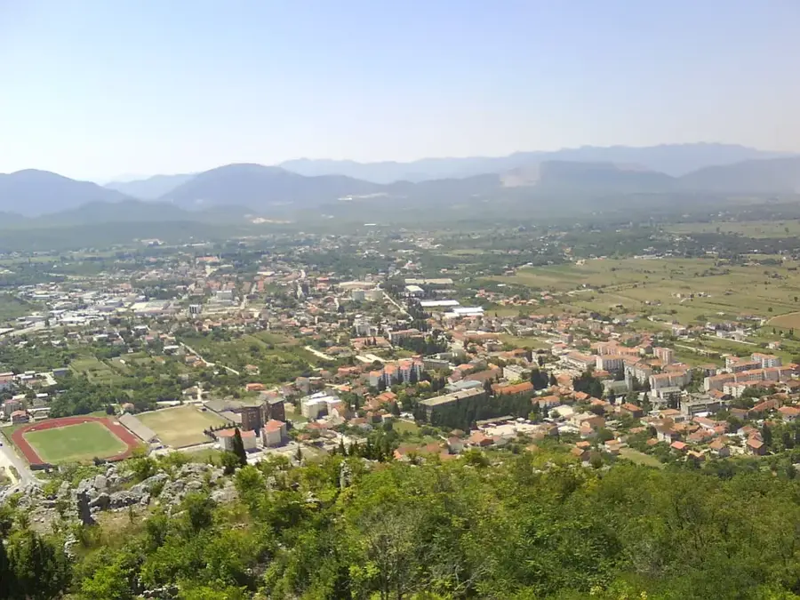

History & landmarks
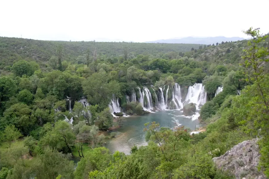
Nature
More places