Plizio Visual Lab
Ribnik
ℹ️Practical info — Ribnik
▾
🌤 Weather — 5 days
📍 Nearby
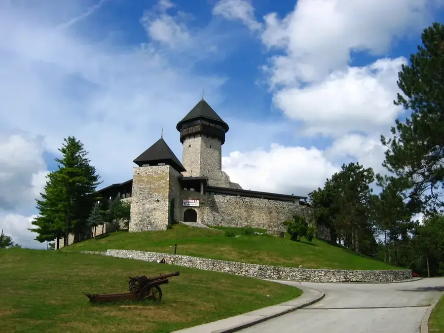
Sights nearby
💡 Tips
- Ribnik is an international hub for fly fishing; the peak season runs from May through October.
- Due to the gin-clear water of the Ribnik River, use very light tackle and tiny flies (size 20 or smaller).
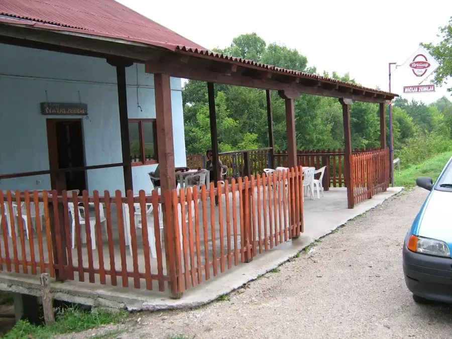
- Most fishing lodges and restaurants are situated directly on the riverbanks, offering immediate water access.
- Plan a short hike towards the Sana River springs to experience the area's pristine, wild nature.
🍽 Food
Served in almost every riverside restaurant; usually grilled simply with local herbs.
Veal or lamb slow-cooked for hours under a metal bell covered with embers; a local staple.
Look for homemade cow or sheep cheese in the surrounding village households.
🛍 Shopping · 🧘 Quiet spots
Near the main bridge, you'll find shops specializing in hand-tied flies and local fishing gear.
Ask your hosts for locally distilled plum or pear brandy (rakija).
A 5km long trail following the river, handy for relaxing walks in nature.
Quiet forested areas above the village, far away from any transit traffic.
Water temperature…
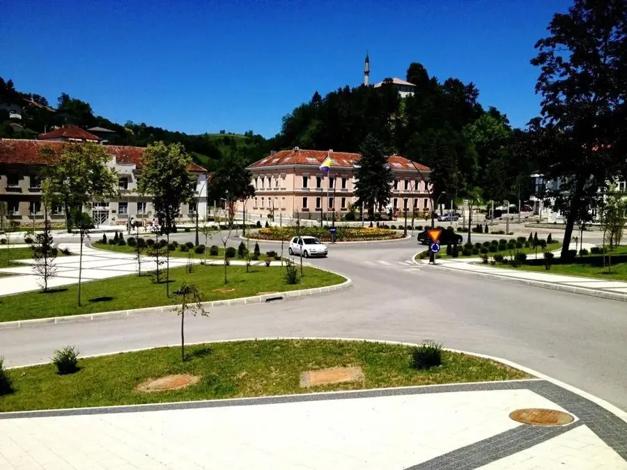
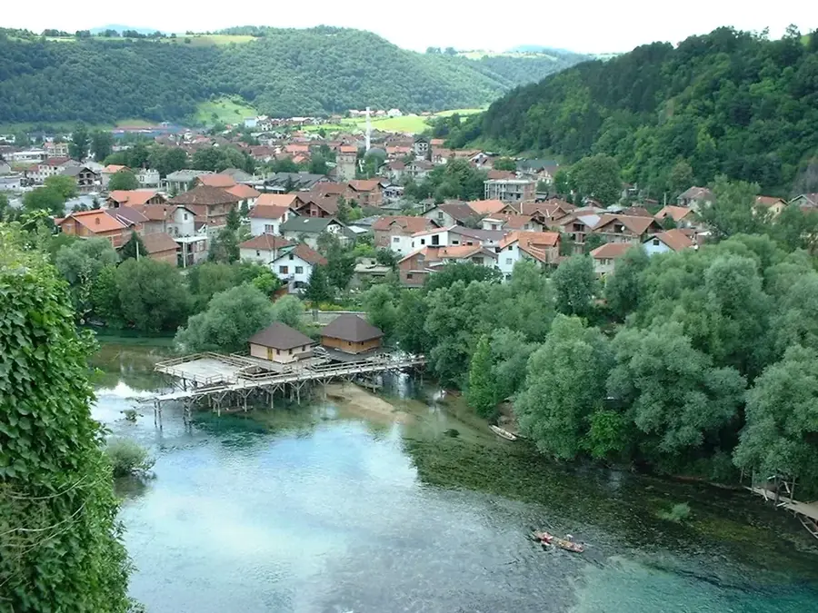
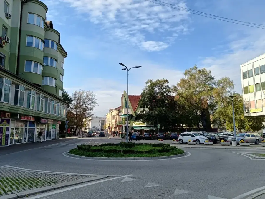
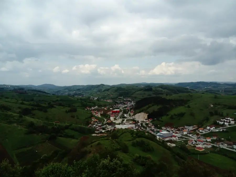
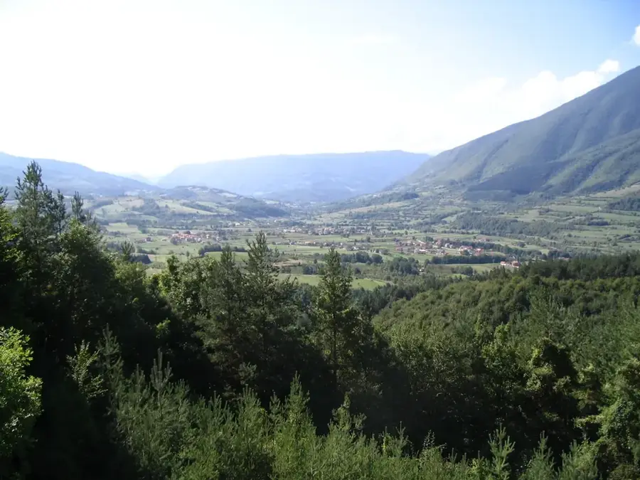
Ribnik is a scenic municipality in northwestern Bosnia and Herzegovina, established following the Dayton Agreement in 1995 as part of the Republika Srpska. The municipality is positioned within a water-rich valley through which the Sana and Ribnik rivers flow, both renowned for their crystal-clear waters and exceptional fish stocks. Ribnik is widely regarded as one of the premier fly-fishing destinations in the world, providing a significant boost to the local economy through specialized tourism. Geographically, the area is framed by the Dimitor, Lisina, and Manjača mountains, which offer a remarkable backdrop for various outdoor activities. The region is heavily forested and has diverse flora and fauna, making it a sanctuary for nature enthusiasts. Although the settlement of Ribnik itself is small, the municipality is celebrated for its hospitality and traditional rural lifestyle. The local architecture is dominated by simple, functional structures, though recent years have seen the growth of alpine-style lodges for visitors.
- Location: Bosnia and Herzegovina
- Top sights: Ribnik · Spomenik borcima NOR-a
- Nearby: Mrkonjić Grad (21 km)
- Population: ~697 (2013)
Best time to visit & climate
The most pleasant time to visit is Jun–Aug.
| Jan | Feb | Mar | Apr | May | Jun | Jul | Aug | Sep | Oct | Nov | Dec | |
|---|---|---|---|---|---|---|---|---|---|---|---|---|
| Avg °C | -1 | 0 | 4 | 8 | 13 | 17 | 19 | 19 | 14 | 10 | 5 | 0 |
| Rain mm | 85 | 82 | 75 | 78 | 88 | 80 | 55 | 69 | 100 | 93 | 112 | 100 |
Geography
Facts
- The municipality of Ribnik was created from the southern portion of the former Ključ municipality.
- The Ribnik River emerges from a powerful karst spring and flows for only 5.6 kilometers.
- Approximately 64 percent of the municipality's total land area is covered by forests.
- Ribnik sits at an average elevation ranging between 300 and 400 meters above sea level.
- The area is globally famous for its healthy populations of brown trout and grayling.
- Mount Dimitor in the southeastern section reaches a peak of 1,483 meters.
Explore nearby
Notable places around
Route planner — Car & Motorhome
Where do you start? We build the route here, with stops and country notes along the way.
© OpenStreetMap contributors · OpenRouteService
Sights in the town Ribnik (2)
Frequently asked questions
Why do anglers visit Ribnik?
What characterizes the Ribnik river?
Are there accommodations for fishers?
What can you do besides fishing?
What is the environment like?
Ribnik: where is it located?
Ribnik: what is there to see?
Ribnik: when is the best time to visit?
Ribnik: why is it worth visiting?
Nearby cities