Plizio Visual Lab
Manjača
Weather…
Water temperature…
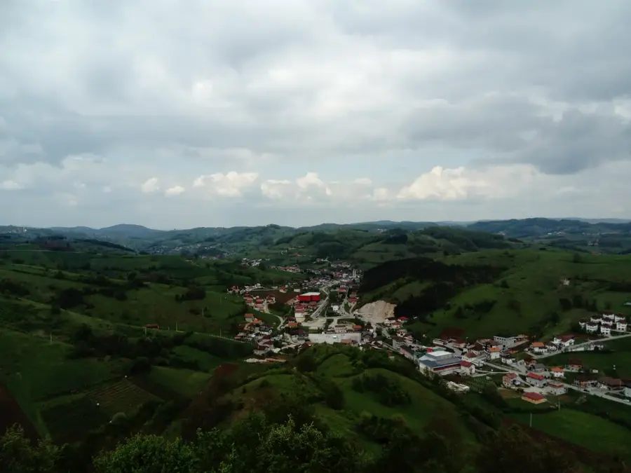
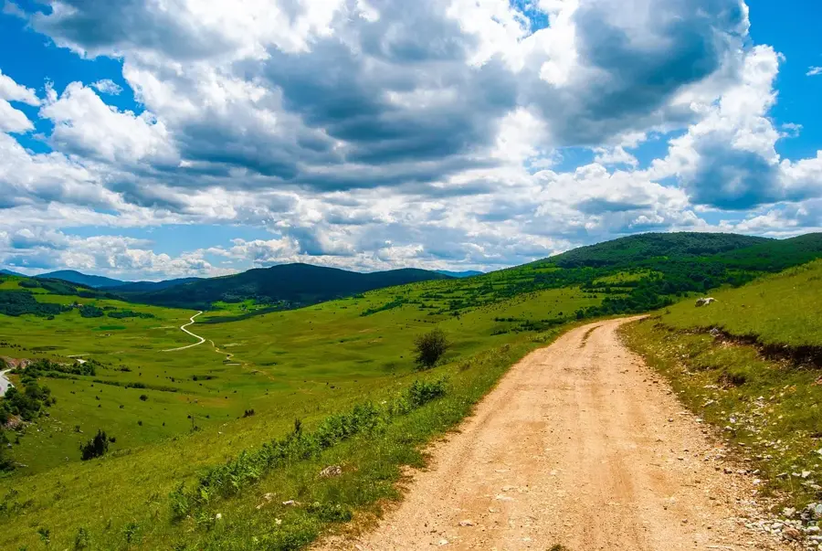
Manjača is a prominent mountain range in northwestern Bosnia and Herzegovina, situated just south of Banja Luka. Its highest peak, Velika Manjača, reaches an elevation of 1,239 meters, providing commanding views over the Krajina plains. Geologically, the massif is part of the Dinaric Alps system and is primarily composed of limestone, which has fostered the development of various karst features such as sinkholes and small caves. The region has a long history of pastoralism, serving for centuries as vital grazing land for sheep and cattle in the vast upland meadows. During the 20th century, Manjača gained strategic military significance due to the establishment of training grounds and facilities, some of which remain in use today. The vegetation consists of a blend of dense beech forests in sheltered areas and expansive high-altitude pastures on the plateaus. Culturally, the area is famous for its traditional folk festivals and the preservation of rural customs deeply rooted in the local identity. Despite being near the major city of Banja Luka, Manjača maintains a rugged and largely untouched natural character.
- Location: Bosnia and Herzegovina
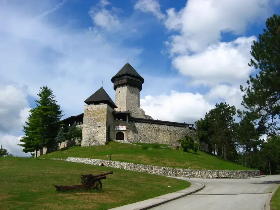
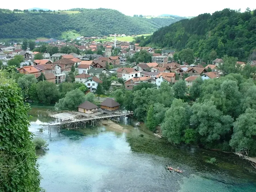
- Top sights: Uzlomac · Lusići · Stričići
- Nearby: Bocac Lake (14 km)
Best time to visit & climate
The most pleasant time to visit is Jun–Aug.
| Jan | Feb | Mar | Apr | May | Jun | Jul | Aug | Sep | Oct | Nov | Dec | |
|---|---|---|---|---|---|---|---|---|---|---|---|---|
| Avg °C | -1 | 0 | 4 | 8 | 13 | 17 | 19 | 19 | 14 | 10 | 5 | 0 |
| Rain mm | 85 | 82 | 75 | 78 | 88 | 80 | 55 | 69 | 100 | 93 | 112 | 100 |
📋 Practical info
Geography
Facts
- The highest point of Manjača is Velika Manjača, standing at 1,239 meters.
- The mountain range is located approximately 25 kilometers south of Banja Luka.
- The area contains one of the largest military training grounds in the country.
- The mountain is culturally linked to the famous writer Petar Kočić, born nearby.
- The annual 'Kočićev zbor' festival held here features traditional bullfighting (grmečka korida).
- Geologically, Manjača is noted for its high density of sinkholes and karst depressions.
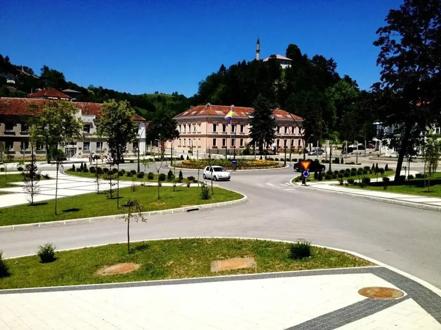
Explore nearby
Notable places around
Route planner — Car & Motorhome
Where do you start? We build the route here, with stops and country notes along the way.
© OpenStreetMap contributors · OpenRouteService
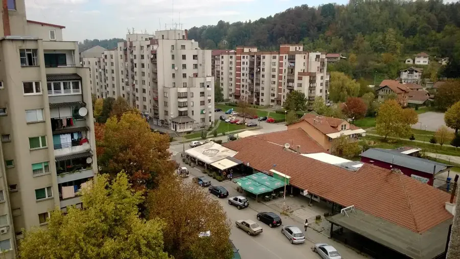
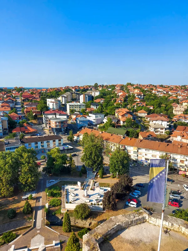
Sights in the town Manjača (3)
Sights nearby
Frequently asked questions
Where is Manjača located?
What is the highest point?
What is Manjača known for?
Is there a lake on the plateau?
What is the landscape like?
Manjača: where is it located?
Manjača: what is there to see?
Manjača: when is the best time to visit?
Manjača: why is it worth visiting?
Nearby cities