Plizio Visual Lab
Osječenica
Weather…
Water temperature…
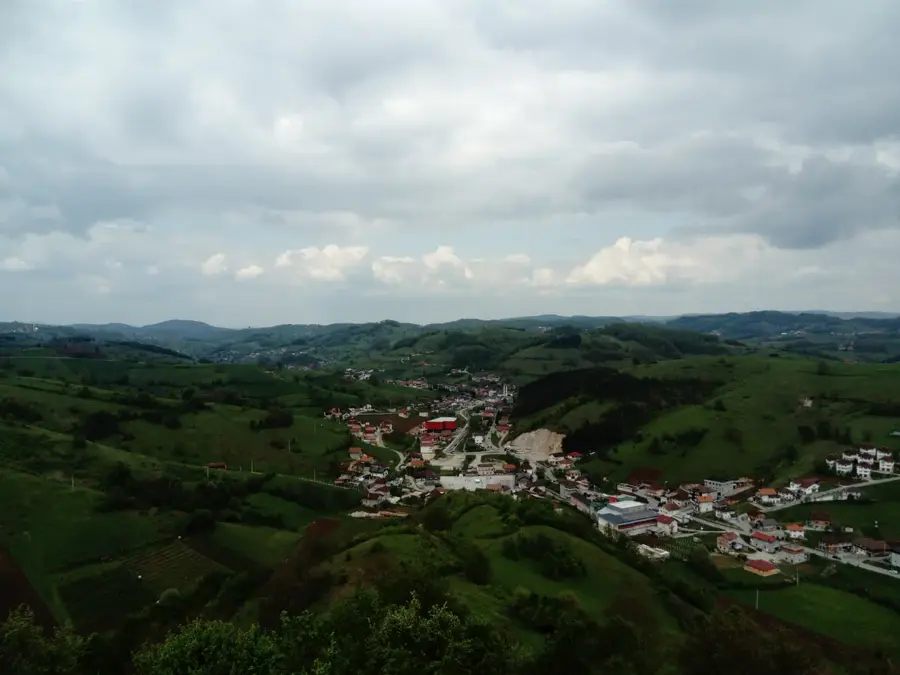
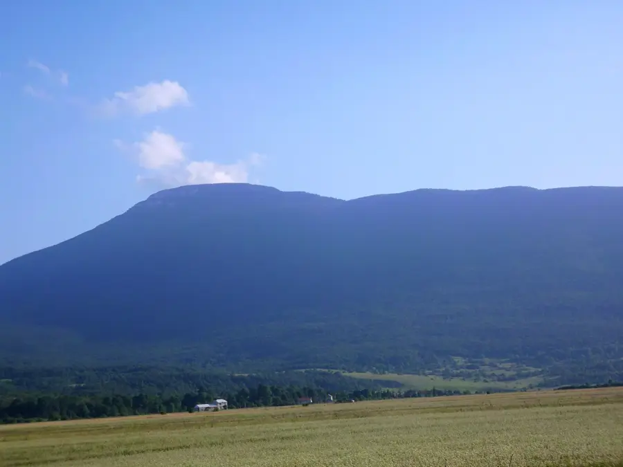
Osječenica is a prominent mountain massif in western Bosnia and Herzegovina, near the town of Bosanski Petrovac. Its highest peak reaches an elevation of 1,795 meters and is characterized by its distinctive, plateau-like shape, which contrasts with the steep rock faces on its flanks. Geologically, Osječenica belongs to the Dinaric karst system and consists primarily of limestone, leading to the formation of numerous sinkholes and small caves. Historically, the mountain is known for its isolation, making it a place of refuge during various wars. The lower slopes are covered with dense, pristine mixed forests of beech and fir, transitioning into pure spruce stands at higher altitudes and finally into alpine meadows. The fauna is diverse and includes rare species such as the lynx and the capercaillie, which find convenient living conditions in the quiet forest areas. For hikers, Osječenica gives well-marked trails leading to the summits, from which one can enjoy spectacular views of the neighboring Grmeč mountain and the Unac valley. The climate is characterized by continental influences, with harsh winters and warm summers, and strong winds are often prevalent on the summits.
- Location: Bosnia and Herzegovina
- Nearby: Una National Park (11 km)
Best time to visit & climate
The most pleasant time to visit is Jun–Aug.
| Jan | Feb | Mar | Apr | May | Jun | Jul | Aug | Sep | Oct | Nov | Dec | |
|---|---|---|---|---|---|---|---|---|---|---|---|---|
| Avg °C | -1 | 0 | 4 | 9 | 13 | 17 | 19 | 20 | 14 | 10 | 5 | 1 |
| Rain mm | 92 | 92 | 80 | 82 | 89 | 76 | 54 | 71 | 113 | 105 | 129 | 109 |
📋 Practical info
Geography
Facts
- The highest peak reaches 1,795 meters above sea level.
- The mountain is known for its rich supply of medicinal plants such as gentian.
- The range is one of the driest heights of the Dinarides, lacking springs.
- During World War II, the region was part of the liberated Bihać Republic.
- Osječenica is often referred to as an 'island mountain' in the middle of the Petrovac plain.
- Geologically, limestones from the Triassic period dominate.
Explore nearby
Notable places around
Route planner — Car & Motorhome
Where do you start? We build the route here, with stops and country notes along the way.
© OpenStreetMap contributors · OpenRouteService
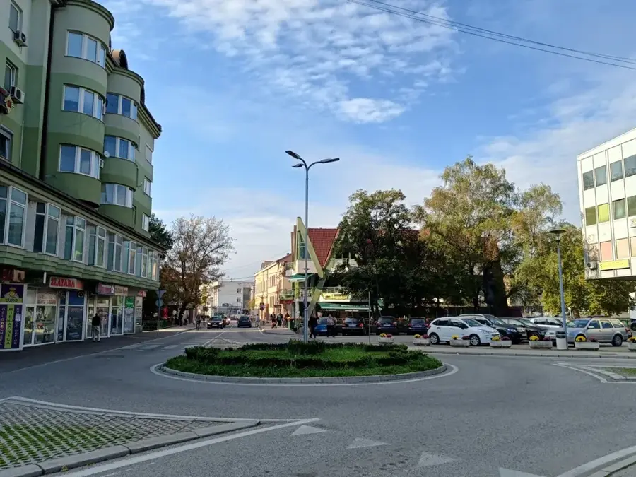
Sights in the town Osječenica (1)
Sights nearby
Frequently asked questions
How high is Mount Osječenica?
What is unique about its appearance?
Where is Osječenica located?
Does the summit offer a good view?
Is the path to the summit steep?
Osječenica: where is it located?
Osječenica: when is the best time to visit?
Osječenica: why is it worth visiting?
Nearby cities