Plizio Visual Lab
Prijedor
ℹ️Practical info — Prijedor
▾
🌤 Weather — 5 days
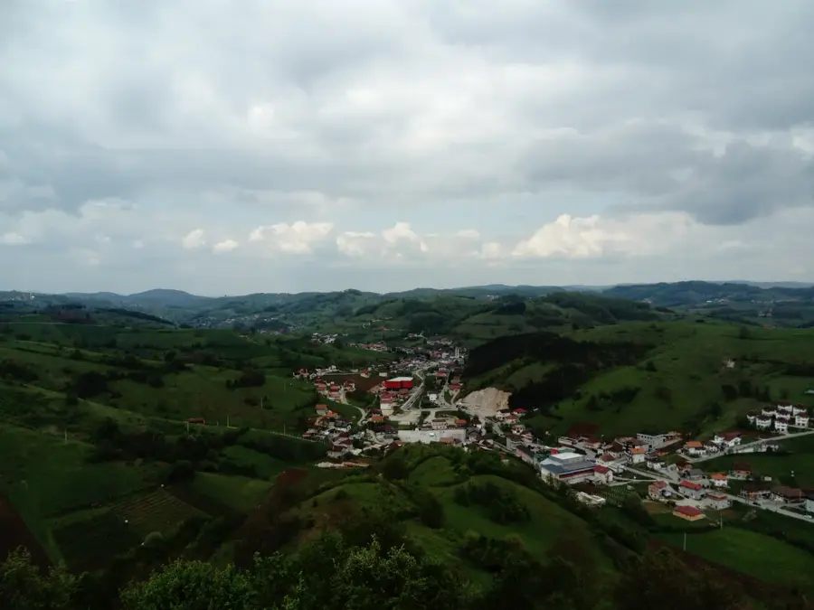
📍 Nearby
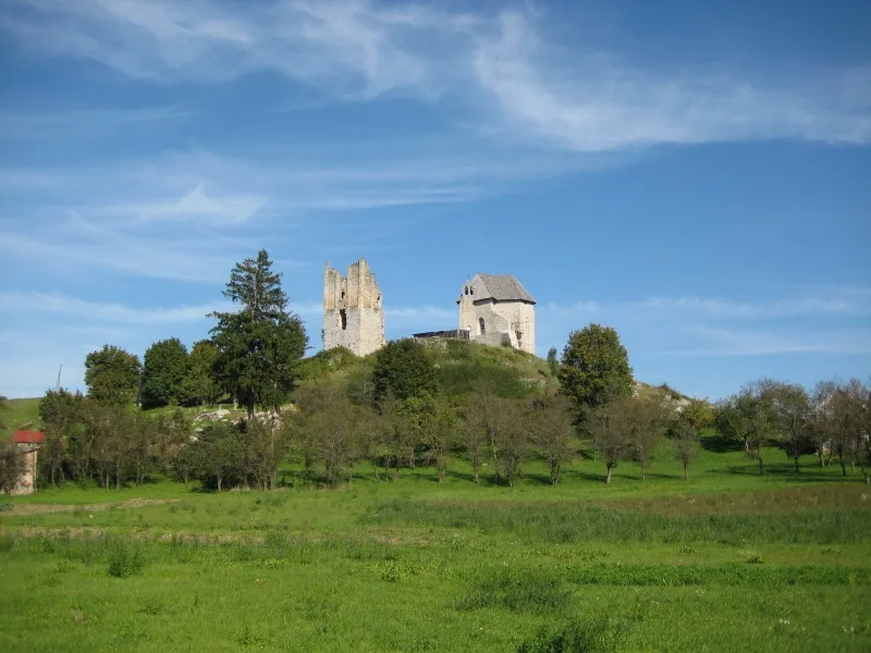
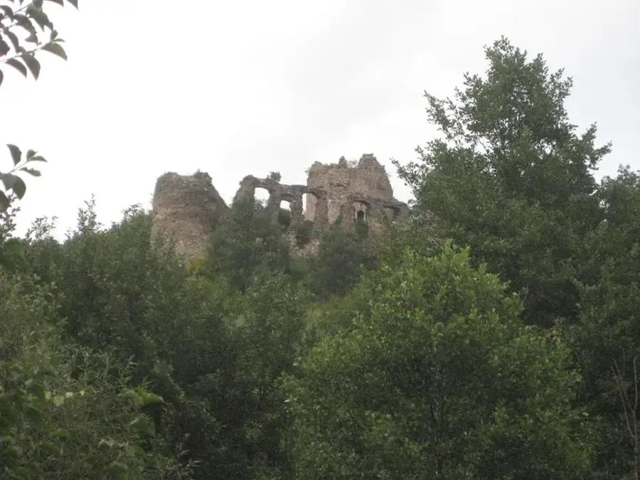
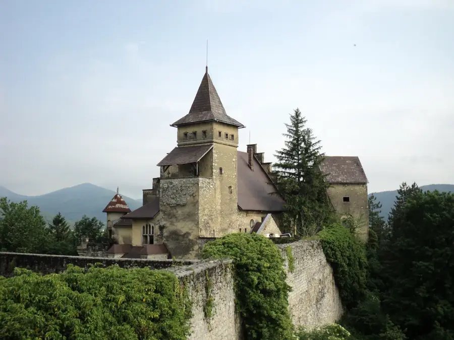
Sights nearby
💡 Tips
- Use Prijedor as a base for a trip to the Kozara National Park, which is only a 30-minute drive away.
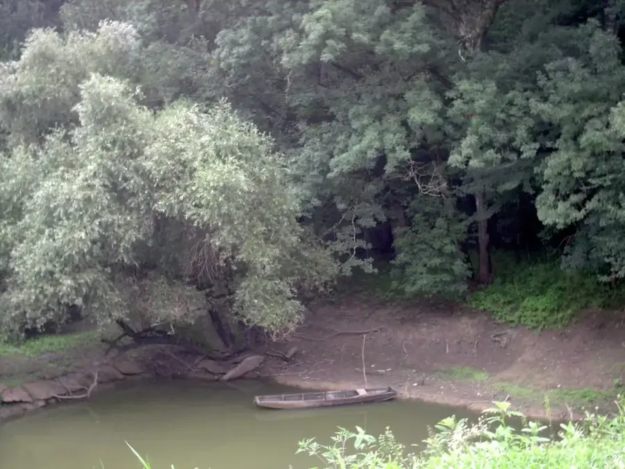
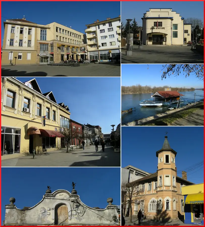
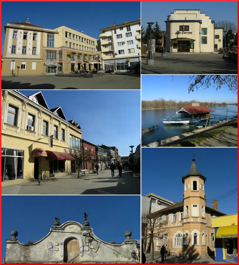
- Take an evening stroll along the Sana River promenade when the locals gather for the traditional walk (Korzo).
- The city is famous for its murals; look out for modern street art scattered throughout the center.
- On hot summer days, the banks of the Sana River offer natural refreshment and popular swimming spots.
- Visit the Museum of Kozara to learn about the region's significant and turbulent history.
🍽 Food
Freshly caught fish, best enjoyed in the restaurants located right on the riverbank.
A local cheese specialty from the Kozara region, found at the farmers' market.
Highly aromatic forest honey, often sold by local beekeepers along the road to the national park.
🛍 Shopping · 🧘 Quiet spots
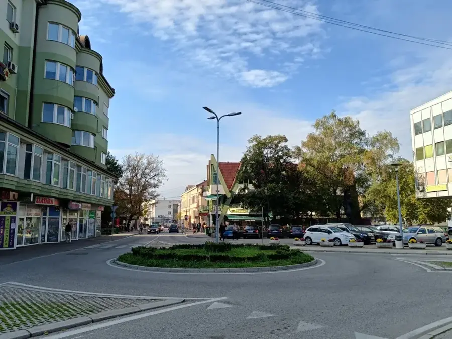
The main shopping street featuring a mix of local boutiques and cozy cafes.
A great spot for finding hand-knitted wool items and regional food products.
Quiet paths away from the center are good for relaxing by the water.
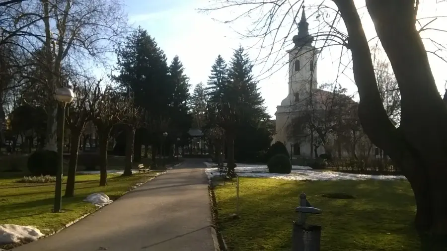
A spacious city park, well-suited for a peaceful afternoon in the greenery.
Water temperature…
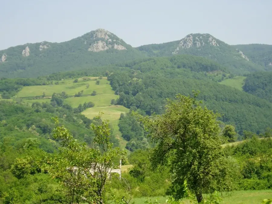
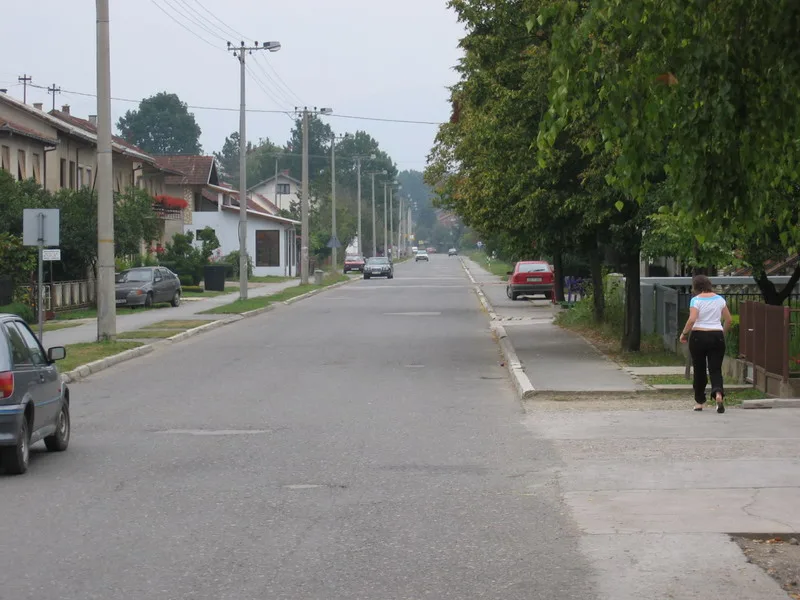
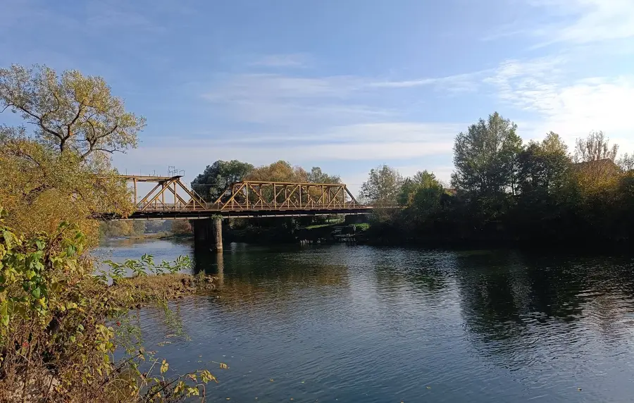
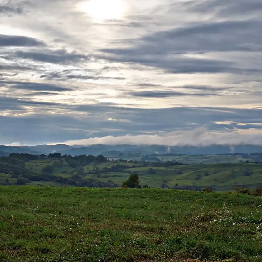
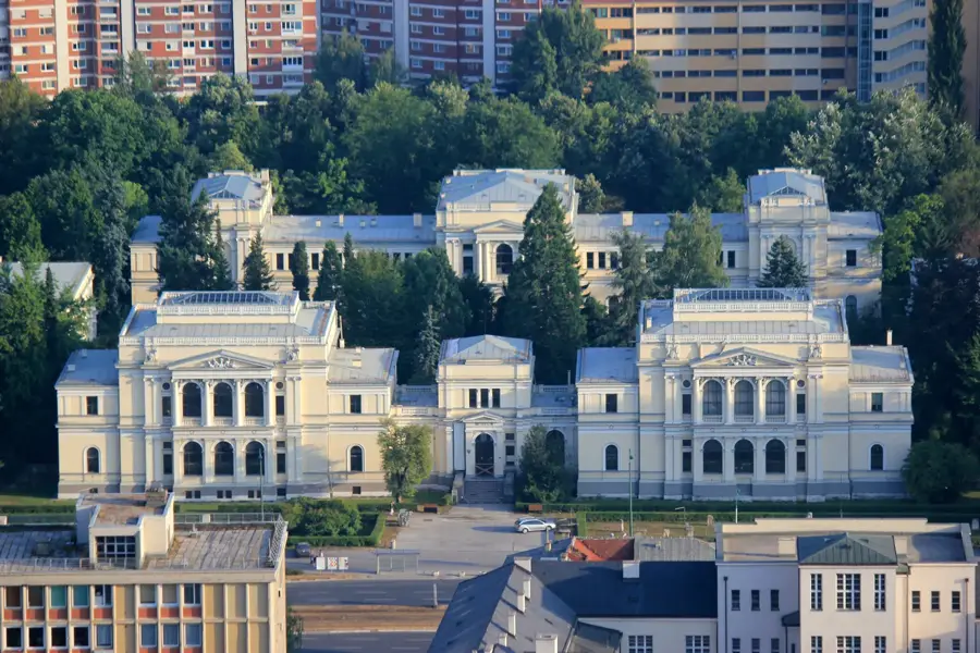
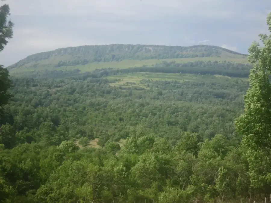
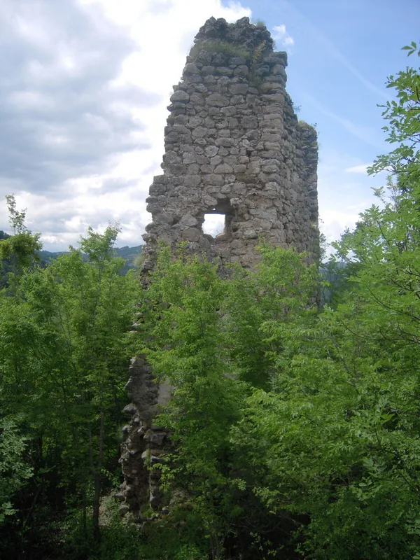
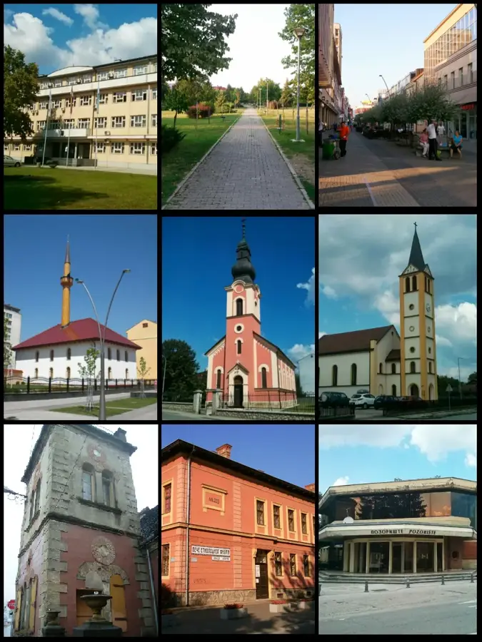
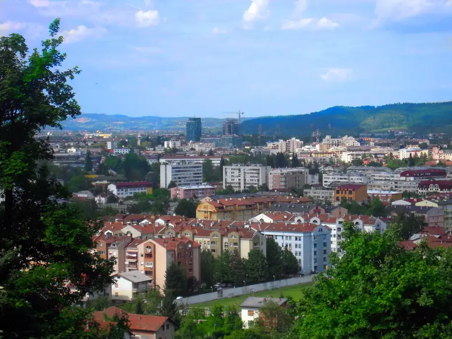
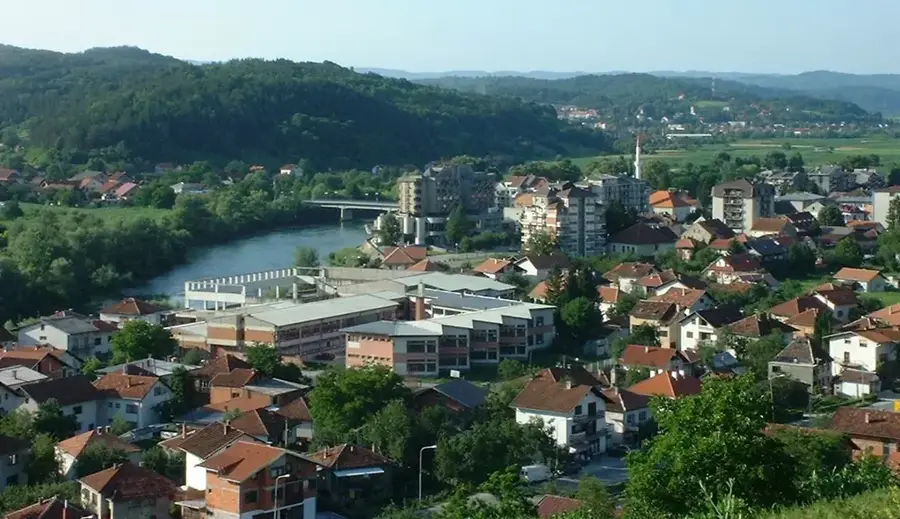
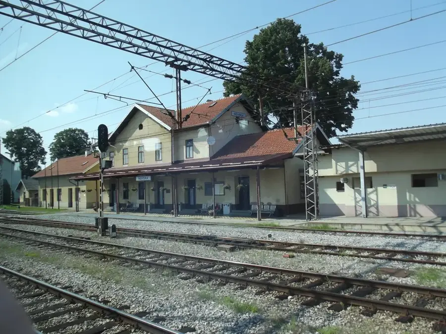
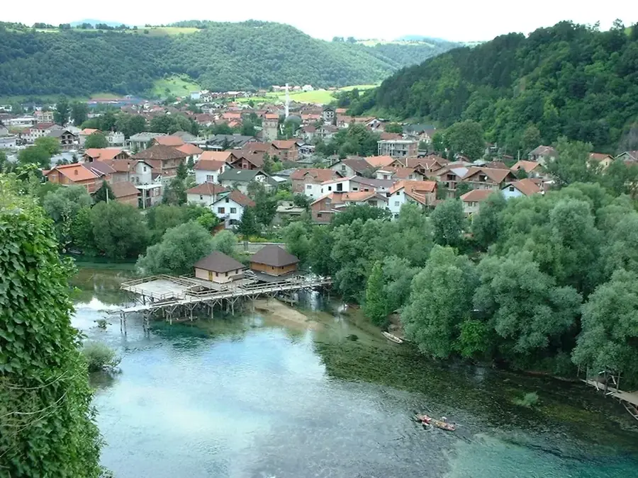
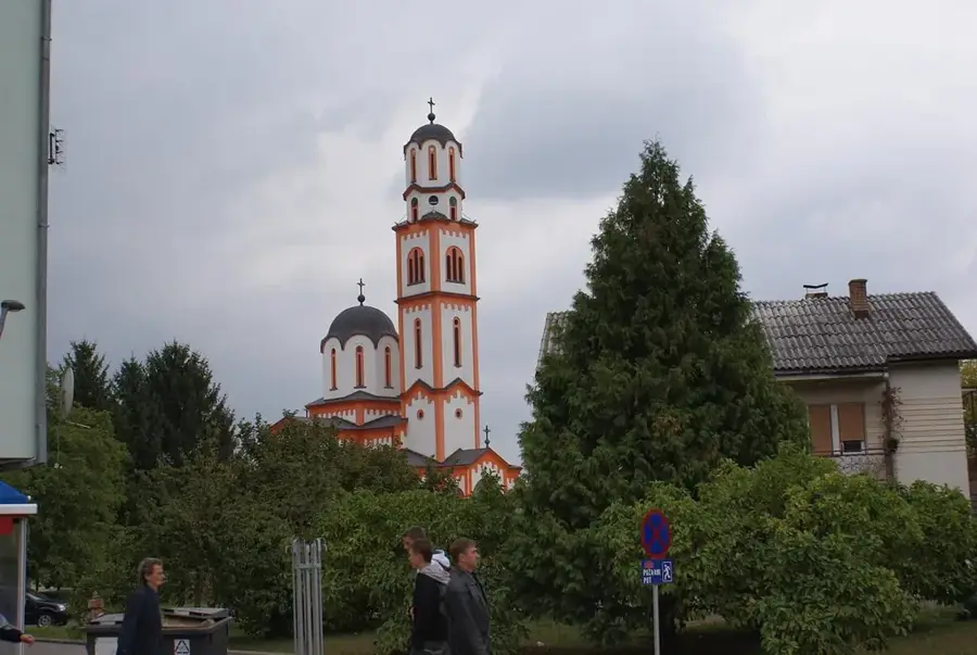
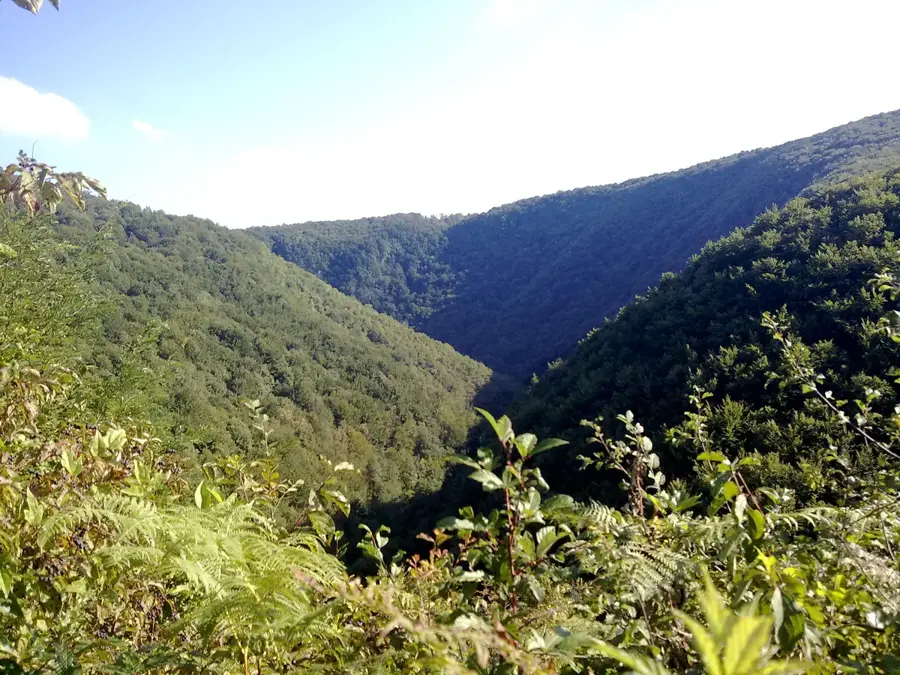
Prijedor is located in the northwestern part of Bosnia and Herzegovina on the banks of the Sana River and serves as the economic center of the Bosanska Krajina region. The city has a deep historical connection to mining, specifically the iron ore deposits in nearby Ljubija, which saw industrial expansion in the late 19th century. First mentioned in the 13th century under the name Pridorska, Prijedor grew into a significant settlement during the Ottoman period. A prominent geographical feature is its proximity to Kozara National Park, which extends to the northeast and is famous for its dense forests and historical monuments. During the Austro-Hungarian era, the city's infrastructure was significantly modernized with the construction of the railway and new industrial plants. Prijedor has a lively cultural scene, including theaters, galleries, and museums that preserve the region's heritage. The flat topography of the surrounding area supports extensive cereal farming and livestock breeding in the fertile plains of the Sana valley.
- Location: Bosnia and Herzegovina
- Top sights: Ribnjak Saničani · Kosarkasko igraliste · Aqua Planet
- Nearby: Mlječanica (12 km)
- Population: ~36.347
Best time to visit & climate
The most pleasant time to visit is Jun–Aug.
| Jan | Feb | Mar | Apr | May | Jun | Jul | Aug | Sep | Oct | Nov | Dec | |
|---|---|---|---|---|---|---|---|---|---|---|---|---|
| Avg °C | 0 | 1 | 6 | 11 | 15 | 19 | 22 | 22 | 16 | 11 | 6 | 1 |
| Rain mm | 81 | 85 | 77 | 82 | 103 | 86 | 69 | 82 | 121 | 104 | 114 | 92 |
Geography
Facts
- Economic hub of the Bosanska Krajina region.
- Key location for iron ore mining in Ljubija.
- Situated on the banks of the Sana River.
- First documented in the 13th century as Pridorska.
- Main gateway to the Kozara National Park.
- Significant center for the timber and food industries.
Explore nearby
Notable places around
Route planner — Car & Motorhome
Where do you start? We build the route here, with stops and country notes along the way.
© OpenStreetMap contributors · OpenRouteService
Sights in the town Prijedor (7)
Frequently asked questions
What can you visit in Prijedor?
Are there parks in the city?
When does the 'Cultural Summer' take place?
How is the connection to Banja Luka?
Are there good restaurants for local cuisine?
Prijedor: where is it located?
Prijedor: what is there to see?
Prijedor: when is the best time to visit?
Prijedor: why is it worth visiting?
Nearby cities
History & landmarks
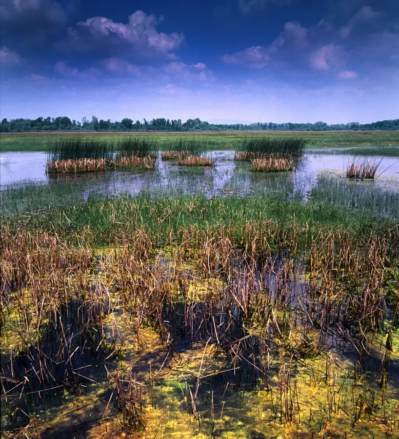
Nature

More places