Plizio Visual Lab
Bardača Wetland
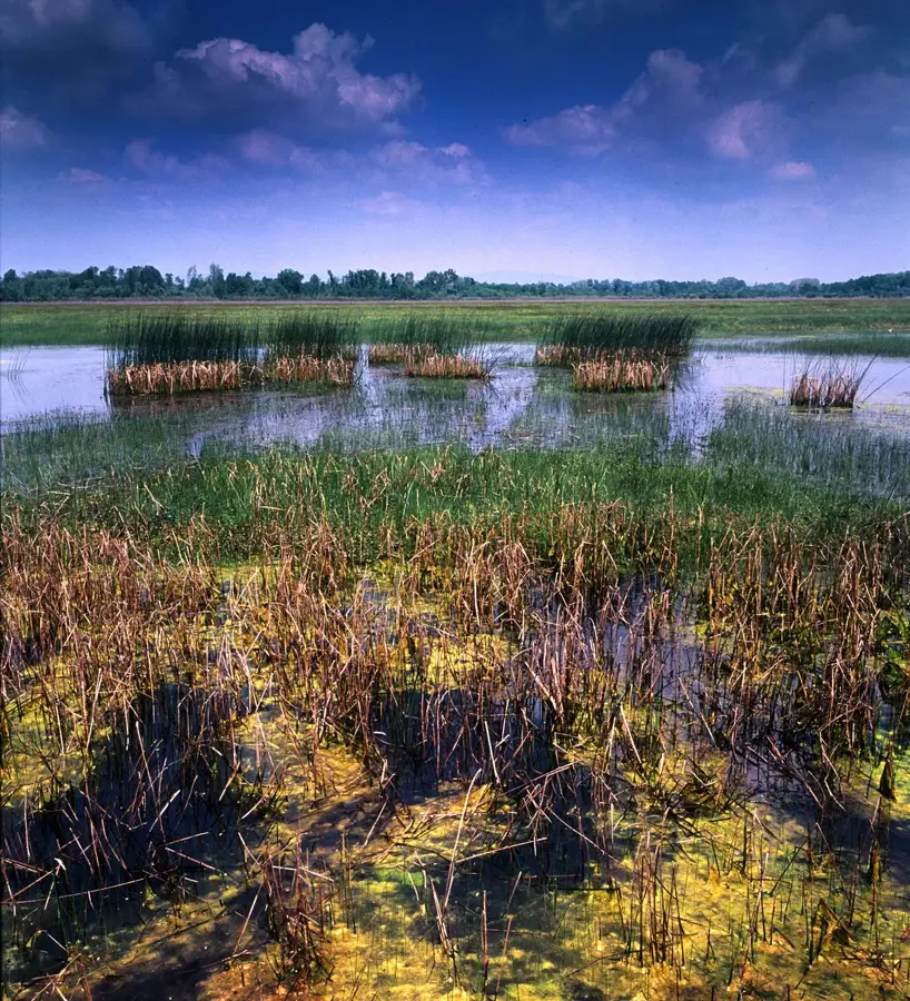
The Bardača Wetland is a vital aquatic ecosystem located in northern Bosnia and Herzegovina, near the confluence of the Vrbas and Sava rivers. Spanning approximately 35 square kilometers, the area consists of a complex of eleven lakes, canals, and flooded meadows. In 2007, Bardača was designated as a Ramsar site of international importance, serving as a crucial stopover point for migratory birds traveling along the Central European flyway. Over 178 bird species have been documented in the area, including rare herons and the ferruginous duck. Beyond its ornithological significance, the wetland has been famous for its commercial fish farming tradition, which dates back to the early 20th century. In recent decades, the ecosystem has faced significant threats from water shortages and agricultural encroachment, prompting increased conservation efforts. The landscape is characterized by rich marsh vegetation, providing researchers and nature enthusiasts with unique insights into the biodiversity of river floodplains.
- Location: Bosnia and Herzegovina
- Top sights: Bardača RAMSAR Wetland · Bardača Wetland
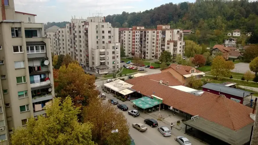
- Nearby: Gradiška (15 km)
Best time to visit & climate
The most pleasant time to visit is Jun–Aug.
| Jan | Feb | Mar | Apr | May | Jun | Jul | Aug | Sep | Oct | Nov | Dec | |
|---|---|---|---|---|---|---|---|---|---|---|---|---|
| Avg °C | 0 | 2 | 6 | 11 | 16 | 20 | 23 | 23 | 17 | 12 | 7 | 1 |
| Rain mm | 60 | 59 | 62 | 66 | 91 | 85 | 66 | 67 | 87 | 74 | 72 | 68 |
📋 Practical info
Geography
Facts
- Ramsar status since: 2007
- Total area: Approx. 35 km²
- Number of lakes: 11 main lakes
- Bird species: Over 178 documented
- Location: Near Srbac municipality
- Fish farming: Established around 1902
Explore nearby
Notable places around
Route planner — Car & Motorhome
Where do you start? We build the route here, with stops and country notes along the way.
© OpenStreetMap contributors · OpenRouteService
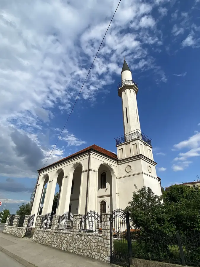
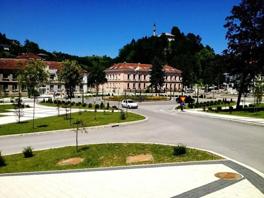
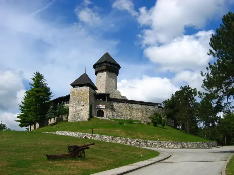
Sights in the town Bardača Wetland (2)
Sights nearby
Frequently asked questions
Why is Bardača ecologically important?
Is fishing allowed there?
When is the best time for birdwatching?
Is accommodation available nearby?
Is the area part of the Ramsar Convention?
Bardača Wetland: where is it located?
Bardača Wetland: what is there to see?
Bardača Wetland: when is the best time to visit?
Bardača Wetland: why is it worth visiting?
Nearby cities