Plizio Visual Lab
Zrinska Gora
Weather…
Water temperature…
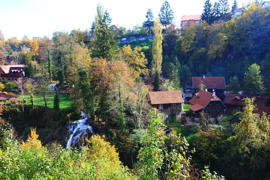
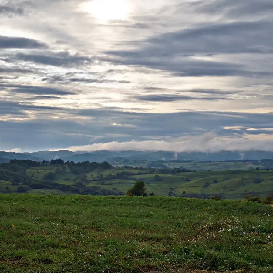
Zrinska Gora is a forested mountain massif in central Croatia, located in the Banovina region between the Una and Glina rivers. Geologically, the mountain is highly diverse, composed of Paleozoic schists, Mesozoic limestones, and Tertiary eruptive rocks, making it rich in mineral deposits. Historically, Zrinska Gora was named after the noble Zrinski family, who built significant medieval fortresses such as Gvozdansko and Zrin here. The region served as a mining hub for centuries, with silver, lead, and iron extraction significantly contributing to the Habsburg Empire's economy in this border zone. The relief is characterized by dense chestnut and beech forests; the sweet chestnut (Castanea sativa) here forms one of its largest contiguous populations in Southeast Europe. The highest point is the Piramida peak at 616 meters, providing extensive views over the hilly Banovina and the Bosnian border area. Geomorphologically, the massif is distinguished by numerous deep stream valleys and a high density of fresh water springs, making the area ecologically valuable. Today, Zrinska Gora is a refuge for wildlife such as deer, wild boars, and rare bird species, and is increasingly developed for ecotourism. Despite its historical significance, the region remained sparsely populated due to its location on the former Military Frontier, thus preserving its wild character.
- Location: Croatia
- Top sights: Petrovića brdo · Crnobrnjsko brdo
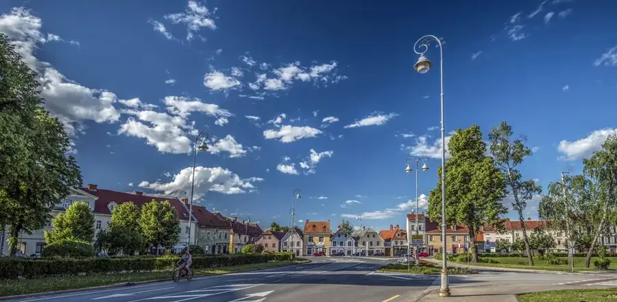
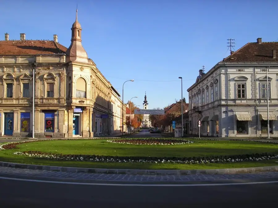
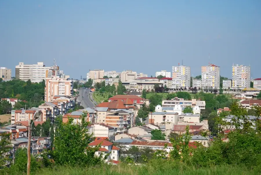
- Nearby: Petrinja (31 km)
Best time to visit & climate
The most pleasant time to visit is Jun–Aug.
| Jan | Feb | Mar | Apr | May | Jun | Jul | Aug | Sep | Oct | Nov | Dec | |
|---|---|---|---|---|---|---|---|---|---|---|---|---|
| Avg °C | 0 | 1 | 6 | 11 | 15 | 19 | 22 | 22 | 16 | 11 | 6 | 1 |
| Rain mm | 81 | 85 | 77 | 82 | 103 | 86 | 69 | 82 | 121 | 104 | 114 | 92 |
📋 Practical info
Geography
Facts
- The highest peak, Piramida, reaches an elevation of 616 meters.
- The mountain was the historical stronghold of the Zrinski family during the 14th-16th centuries.
- It hosts the largest concentrated forest of sweet chestnut trees in Croatia.
- Silver and iron mines in the area were active until the 19th century.
- The Piramida peak features a wooden observation tower with views into Bosnia.
- Zrinska Gora is a key hydrogeological area with hundreds of small streams and springs.
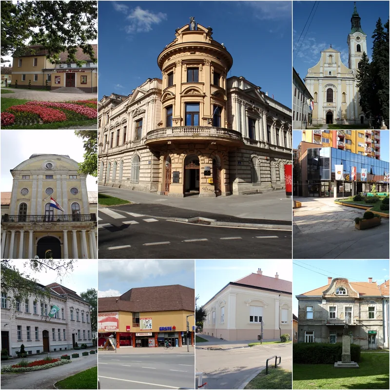
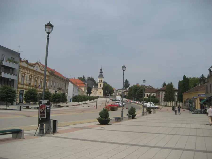
Explore nearby
Notable places around
Route planner — Car & Motorhome
Where do you start? We build the route here, with stops and country notes along the way.
© OpenStreetMap contributors · OpenRouteService
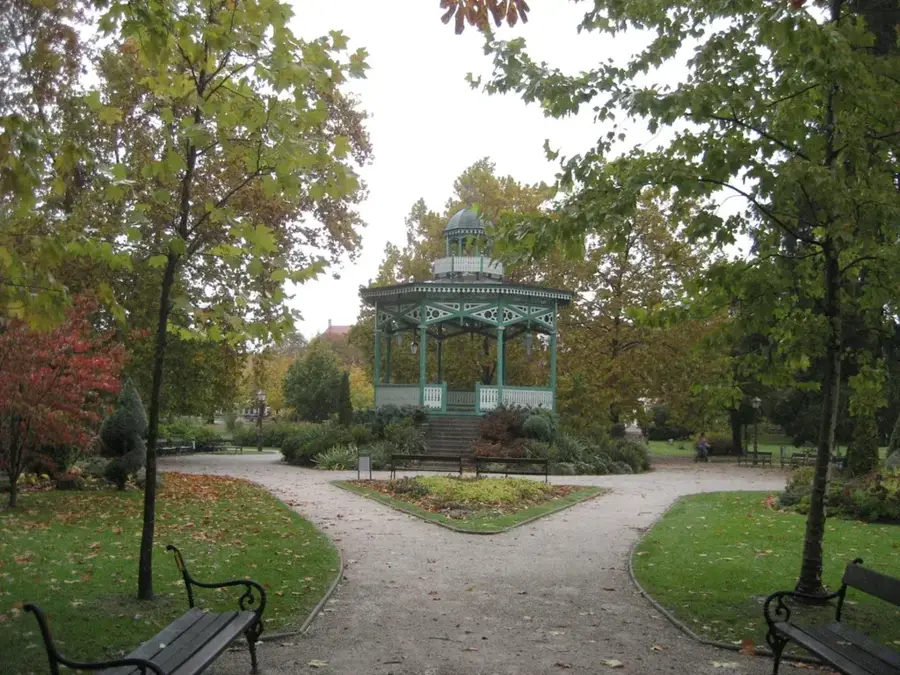
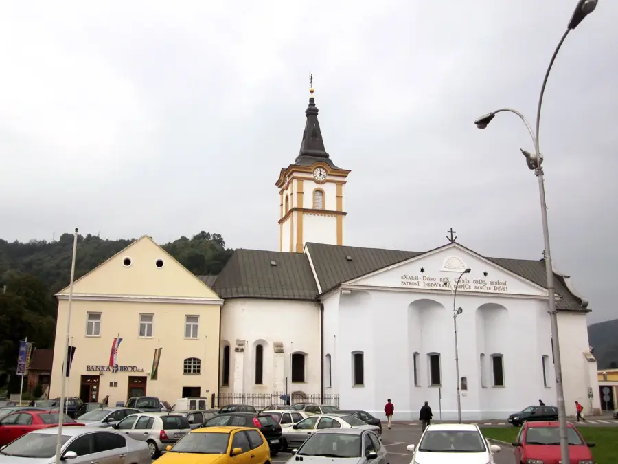
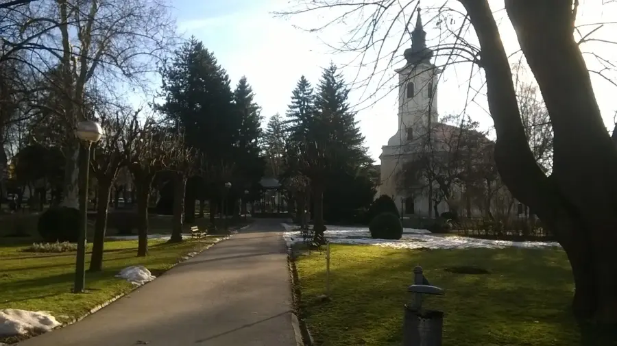
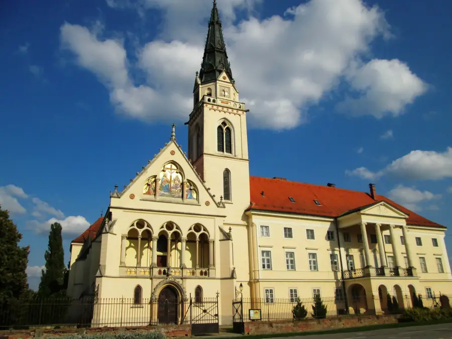
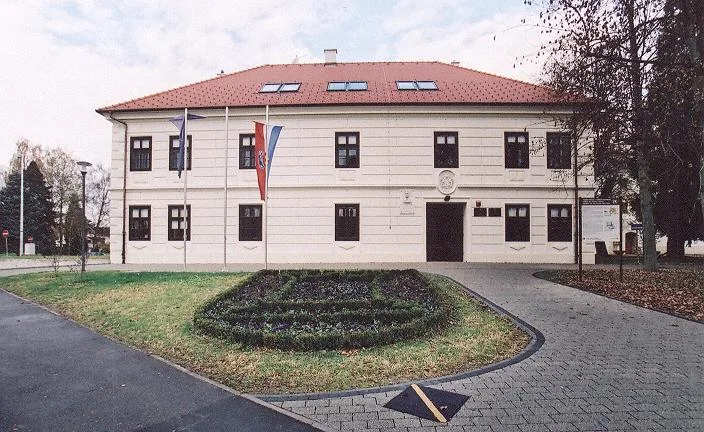
Sights in the town Zrinska Gora (2)
Sights nearby
Frequently asked questions
Where is Zrinska Gora located?
Where does the mountain get its name?
Is the area known for mining?
What is the highest peak?
Are there many springs there?
Zrinska Gora: where is it located?
Zrinska Gora: what is there to see?
Zrinska Gora: when is the best time to visit?
Zrinska Gora: why is it worth visiting?

Nearby cities