Plizio Visual Lab
Velika Šuma Forest
Plizio editorial teamData Sources
Forest
Weather…
Water temperature…
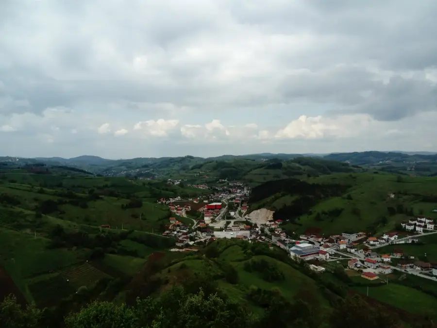
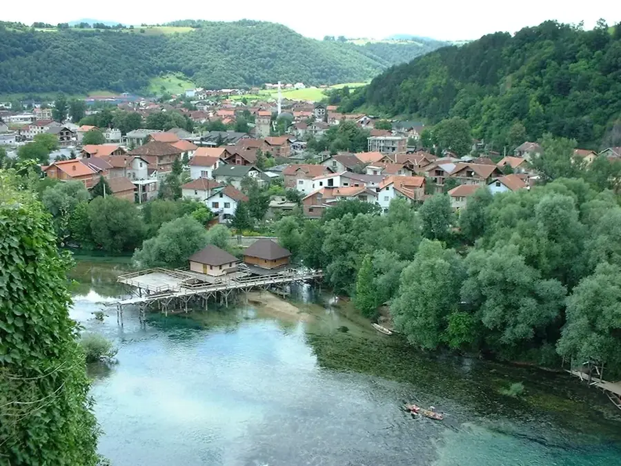
The Velika Šuma (Great Forest) area extends across the central mountain regions of Bosnia and Herzegovina and is known for its dense stands of coniferous and mixed forests. Vegetation is determined by altitude, with beech dominating the lower regions, while fir and spruce prevail at higher elevations. The area is ecologically significant as part of the Dinaric Alps and provides a vital habitat for large game such as wild boars, roe deer, and wolves. Forestry is practiced here according to sustainable principles to ensure ecological balance and erosion protection. Numerous mountain streams crisscross the forest, contributing to high air humidity and biodiversity. Throughout history, the forest often served as a refuge and natural barrier during military conflicts. Today, Velika Šuma is a popular area for forest botanical excursions and the harvesting of wild berries and medicinal herbs. The preservation of these large forest massifs is crucial for carbon sequestration and the regional climate.
- Location: Bosnia and Herzegovina
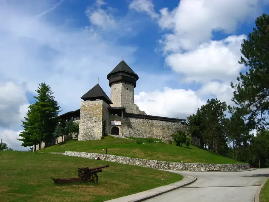
- Top sights: Vodeni park Sanski Most · Monument to the Victims of Fascism and the Fighters of the National Liberation War · Šušnjar Memorial Complex
- Nearby: Prijedor (25 km)
Best time to visit & climate
The most pleasant time to visit is Jun–Aug.
| Jan | Feb | Mar | Apr | May | Jun | Jul | Aug | Sep | Oct | Nov | Dec | |
|---|---|---|---|---|---|---|---|---|---|---|---|---|
| Avg °C | 0 | 1 | 6 | 11 | 15 | 19 | 22 | 22 | 16 | 11 | 6 | 1 |
| Rain mm | 81 | 85 | 77 | 82 | 103 | 86 | 69 | 82 | 121 | 104 | 114 | 92 |
📋 Practical info
Getting there
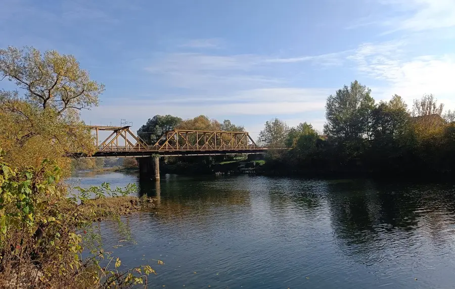
This sprawling forest is typically reached by traveling via regional roads that wind through the hilly areas directly west of Banja Luka. Explorers usually start their nature walks from small access points near the surrounding rural villages.
Best season
The most pretty conditions are generally experienced during the spring and autumn, highlighting the lively colors of the diverse flora. Summer is also typically a very pleasant time to visit, offering substantial shade beneath the mixed forest canopy.
Terrain & paths
The landscape usually consists of gently rolling hills intertwined with unpaved logging paths and rustic natural woodland trails. Visitors can generally expect a moderate walking difficulty on earth paths that may become muddy after recent rains.
What to bring
Practical outdoor clothing, including long trousers to protect against typical forest underbrush and insects, is generally recommended. Sturdy walking shoes and a basic physical map are usually considered essential for comfortably exploring this vast area.
Parking
Parking is typically informal, with visitors usually leaving their vehicles on the quiet edges of the adjacent rural settlements. There are generally no large commercial parking lots, so securing a safe, unobtrusive roadside spot is the common practice.
Safety
Due to the dense nature of the mixed forest, it is usually quite easy to become disoriented without a proper sense of direction. Visitors are generally advised to stay mindful of their surroundings and avoid wandering too deeply off the main established paths.
Time needed
A leisurely nature walk to appreciate the diverse flora and serene environment typically lasts around two to three pleasant hours. More enthusiastic hikers generally spend a relaxed half-day wandering through the expansive network of hilly woodland trails.
Geography
Facts
- Large forest massif in the Dinaric Alps
- Mixed forest of beech, fir, and spruce
- Significant habitat for European mouflon
- Serves as natural protection against soil erosion
- Rich in wild berries and medicinal plants
- Contains numerous pristine mountain springs
Explore nearby
Notable places around
Route planner — Car & Motorhome
Where do you start? We build the route here, with stops and country notes along the way.
Vehicle
Only stops with (optional):
© OpenStreetMap contributors · OpenRouteService
Sights in the town Velika Šuma Forest (3)
Sights nearby
Frequently asked questions
What does Velika Šuma mean?
The name is Slavic and simply means 'Great Forest'.
What makes the forest special?
Its tranquility and the absence of major tourist infrastructure.
What berries grow there?
In summer, wild raspberries, blackberries, and blueberries can be found.
Are there mushrooms in the forest?
Yes, porcini and chanterelles are frequently found after rain.
Is the forest suitable for families?
Yes, the flat paths are suitable for relaxed walks with children.
Velika Šuma Forest: where is it located?
Velika Šuma Forest is located in Bosnia and Herzegovina.
Velika Šuma Forest: what is there to see?
Highlights include Vodeni park Sanski Most, Monument to the Victims of Fascism and the Fighters of the National Liberation War, Šušnjar Memorial Complex.
Velika Šuma Forest: when is the best time to visit?
The most pleasant time to visit is Jun, Aug.
Velika Šuma Forest: why is it worth visiting?
The Velika Šuma (Great Forest) area extends across the central mountain regions of Bosnia and Herzegovina and is known for its dense stands of coniferous and mixed forests.
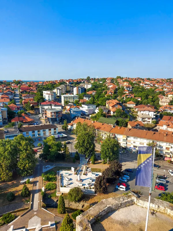
Nearby cities

Banja Luka Business District
The Banja Luka Business District is the administrative and financial center of the Republika Srpska.

Roca
Roca is a small settlement in Central Bosnia.
Lukavac
Lukavac is an industrial city near Tuzla, known for its chemical industry and Lake Modrac, one of the largest artificial lakes in the cou…

Bugojno
Bugojno is located in the Vrbas River valley in central Bosnia.

Vlašić
A prominent mountain massif in Central Bosnia, famous for its Babanovac ski resort and traditional sheep cheese production.

Travnik
Travnik is the former capital of the Ottoman viziers in Bosnia.
Cazin
Cazin is located in northwestern Bosnia and Herzegovina in the Una-Sana Canton.
Velika Kladuša
Velika Kladuša is the northwesternmost city in the country, right on the border with Croatia.

Visoko
Visoko is located northwest of Sarajevo at the confluence of the Bosna and Fojnička rivers.

Gračanica
Gračanica is located in the northeast of the country in the Spreča valley.
Gradačac
Gradačac is located in northern Bosnia and is famous for its distinctive fortress and the tower of Husein-Kapetan Gradaščević.
Bosanska Krupa
Bosanska Krupa is located on the banks of the Una and Krušnica rivers in northwestern Bosnia.
Krupa na Uni
Krupa na Uni is a municipality in the northwest of Republika Srpska.

Mrkonjić Grad
Mrkonjić Grad is located in the southwest of Republika Srpska.

Zavidovići
Zavidovići is located at the confluence of the Bosna, Krivaja, and Gostović rivers.