Plizio Visual Lab
Wangdue Phodrang
ℹ️Practical info — Wangdue Phodrang
▾
🌤 Weather — 5 days
📍 Nearby
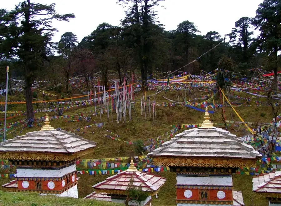
Sights nearby
💡 Tips
- Expect strong, gusty winds, particularly in the afternoon, as the town and Dzong are situated on an exposed ridge.
- Dress formally, ensuring arms and legs are completely covered, if you plan to visit the Dzong's courtyard.
- Keep an eye out for unique slate carvings, an artisanal tradition that is highly specialized in this region.
- Local buses generally drop passengers in the lower town, meaning a steep walk uphill is required to reach the Dzong.
🍽 Food
A hearty, dried beef dish widely served at traditional restaurants across the town.
A spicy, finely minced chicken dish that is a staple in the smaller local eateries.
Pick up a jar of the famous local honey at the market for a delicious, sweet souvenir.
🛍 Shopping · 🧘 Quiet spots
Unique stone artworks, often featuring religious motifs, bought straight from the artisans.
Woven boxes (Bangchung) that are practical and sold at the town's market stalls.
The surrounding valleys are famous for this rice, easily purchased in bulk at the market.
Head over to the opposite side of the river to admire the majestic Dzong in complete peace.
A peaceful spot by the wide river, excellent for a break away from the windy ridges.
Stroll along the historic ridge line for a quiet, uninterrupted view down into the deep valley.
Water temperature…
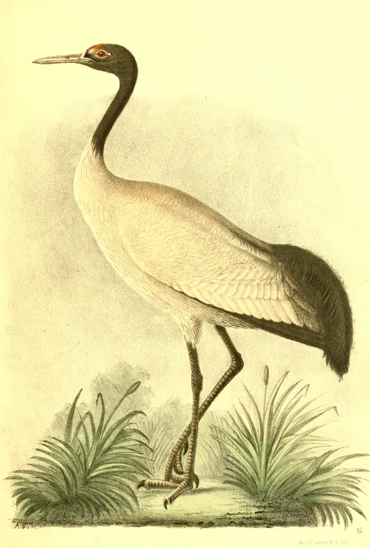
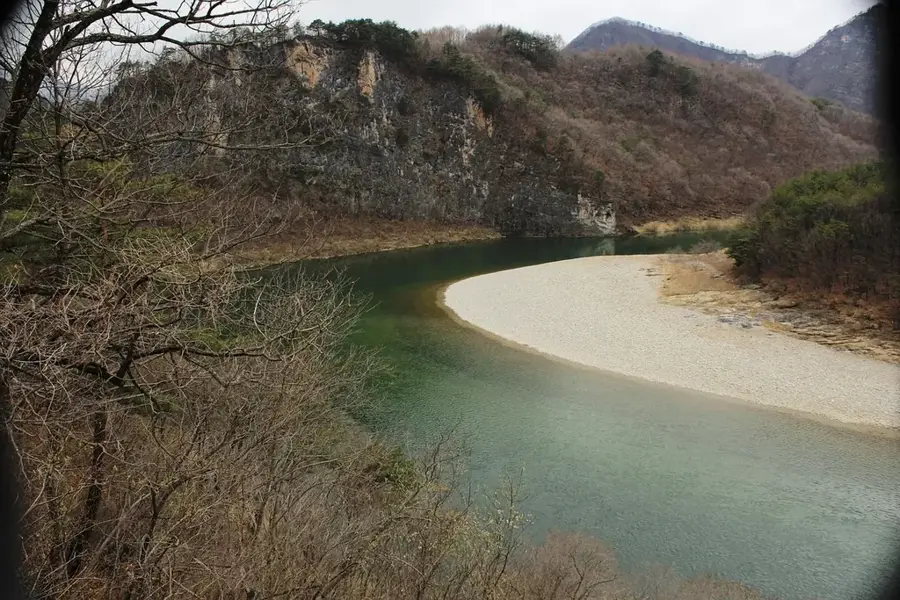
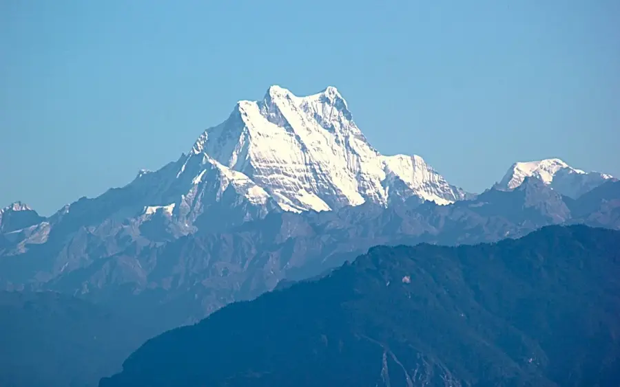
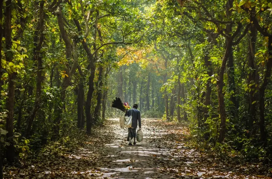
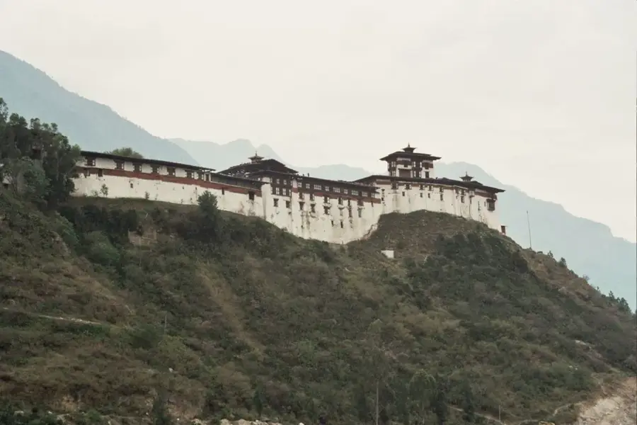
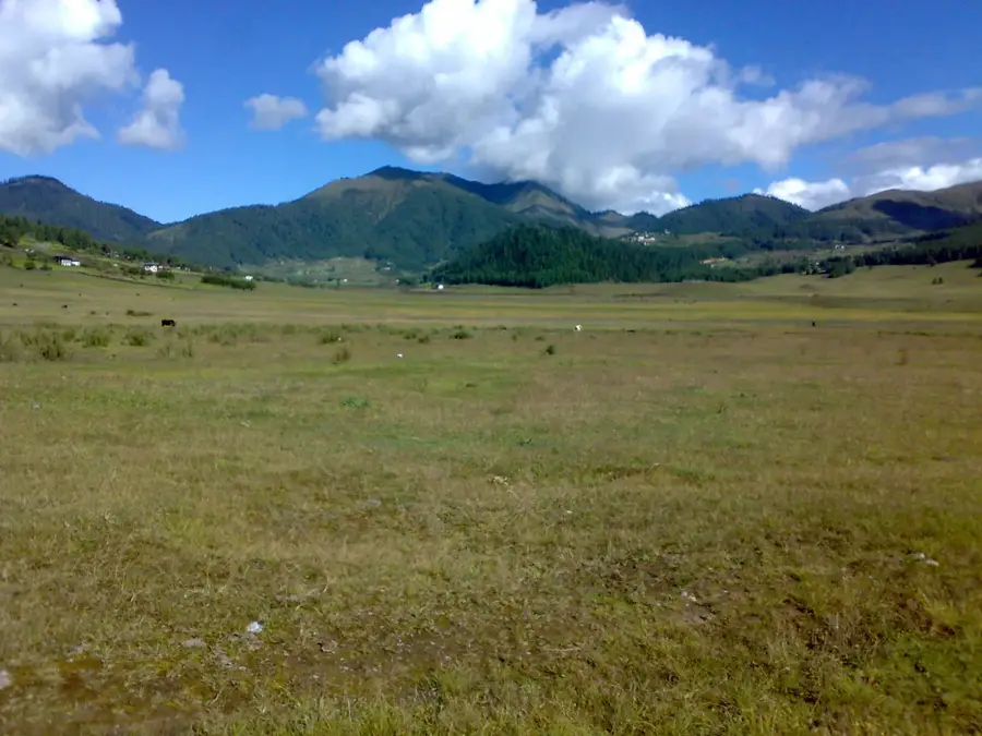
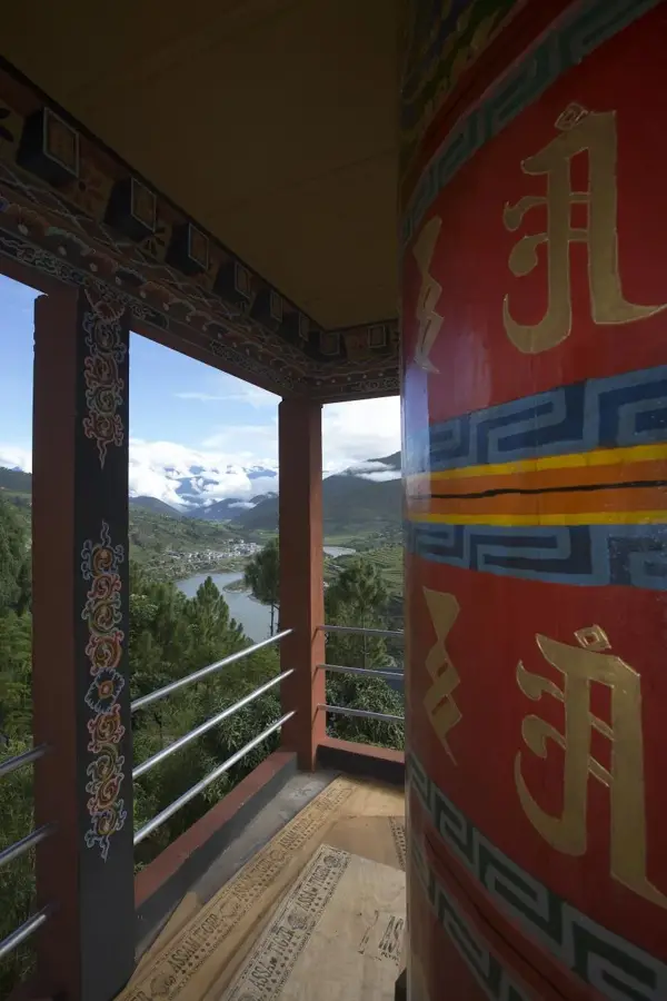
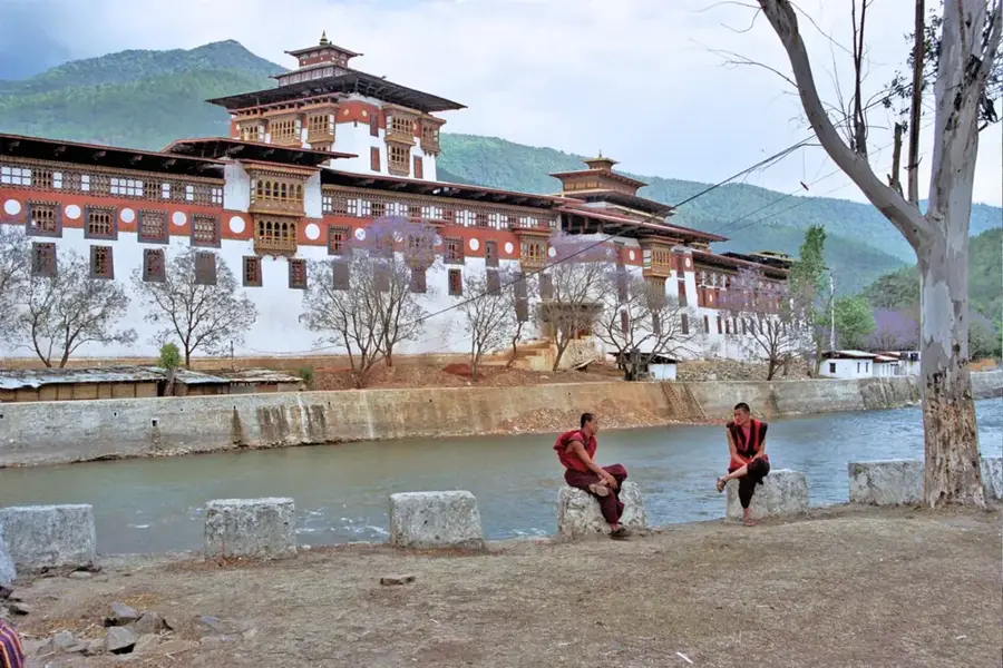
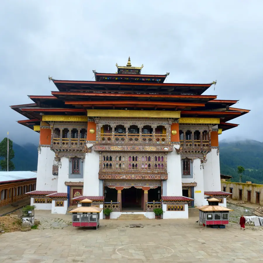
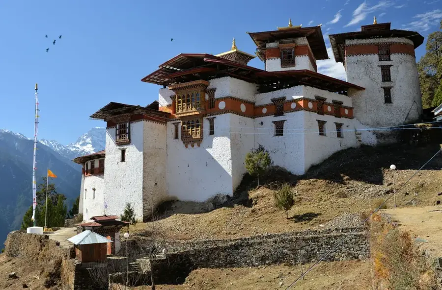
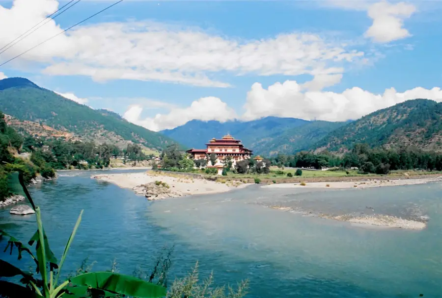
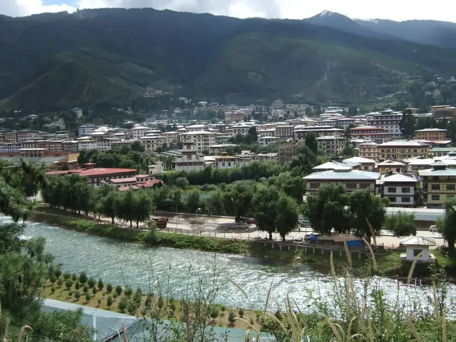
Wangdue Phodrang is a town in central Bhutan, capital of Wangdue Phodrang District, at an elevation of about 1,300 meters, at the confluence of the Punakha Chhu and Tang Chhu rivers. Its population is around 7,000. The town is famous for its historic dzong built in 1638, which was devastated by a fire in 2012 and is currently under reconstruction. The surrounding area is agricultural, producing rice, wheat, and vegetables. Wangdue Phodrang is known for bamboo crafts and pottery. Nearby Phobjikha Valley is a winter home for black-necked cranes (Grus nigricollis). The town serves as a junction for highways to central and eastern Bhutan. The climate is temperate, with January averages around 5°C and July averages around 22°C. The reconstruction of the dzong is expected to complete by 2025.
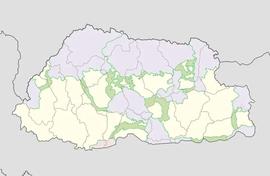
- Location: Bhutan
- Nearby: Lhamoizingkha (9 km)
- Population: ~8.954 (2026)
Best time to visit & climate
The most pleasant time to visit is Sep–Nov.
| Jan | Feb | Mar | Apr | May | Jun | Jul | Aug | Sep | Oct | Nov | Dec | |
|---|---|---|---|---|---|---|---|---|---|---|---|---|
| Avg °C | 1 | 2 | 5 | 8 | 11 | 14 | 15 | 14 | 13 | 9 | 5 | 3 |
| Rain mm | 4 | 12 | 32 | 74 | 119 | 164 | 254 | 202 | 130 | 55 | 4 | 2 |
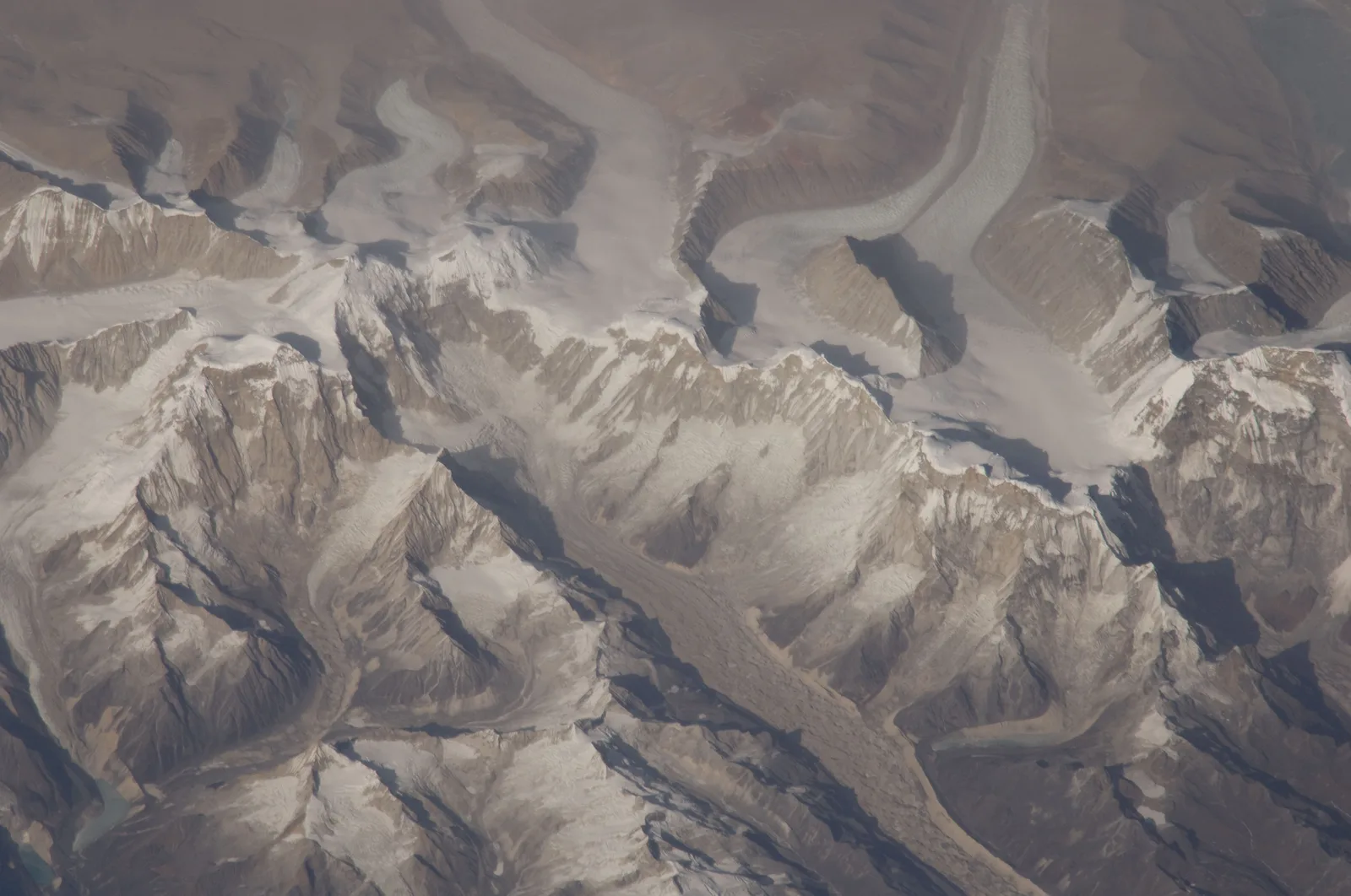
Geography
Facts
- Elevation: 1,300 m.
- Population: approx. 7,000.
- Construction of Dzong: 1638.
- Fire of Dzong: 2012.
- Black-necked cranes in Phobjikha: up to 400.
- Expected reconstruction completion: 2025.
Explore nearby
Notable places around
Route planner — Car & Motorhome
Where do you start? We build the route here, with stops and country notes along the way.
© OpenStreetMap contributors · OpenRouteService
Sights in the town Wangdue Phodrang (1)
Frequently asked questions
What is this place known for?
What is the climate like in Wangdue?
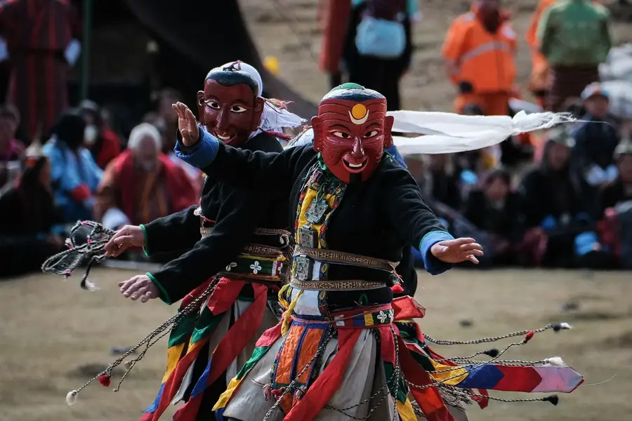
When is the Wangdue Phodrang Tshechu festival held?
Can you visit the Dzong?
What grows in this region?
Wangdue Phodrang: where is it located?
Wangdue Phodrang: when is the best time to visit?
Wangdue Phodrang: why is it worth visiting?

Nearby cities

History & landmarks


Nature
More places