Plizio Visual Lab
Jamuna River
Weather…
Water temperature…
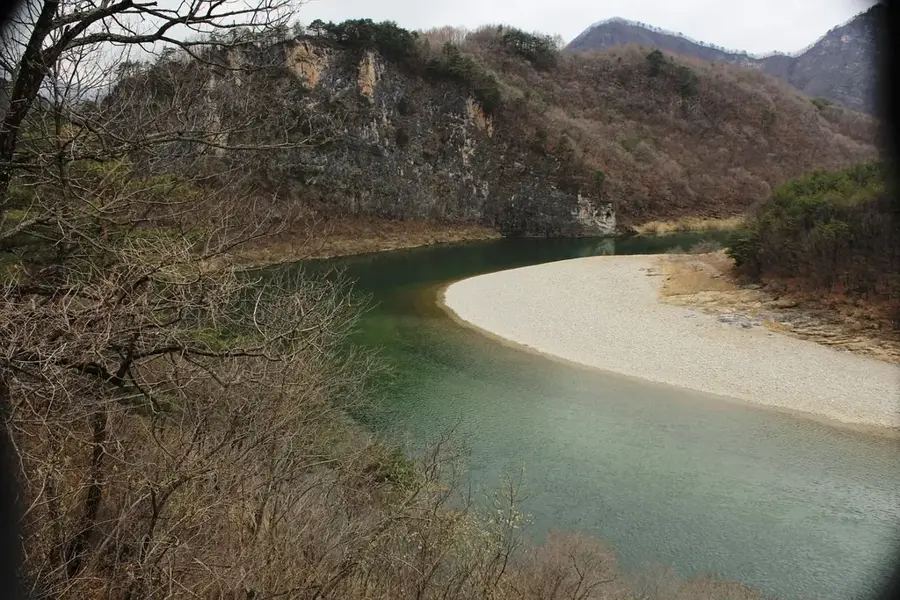
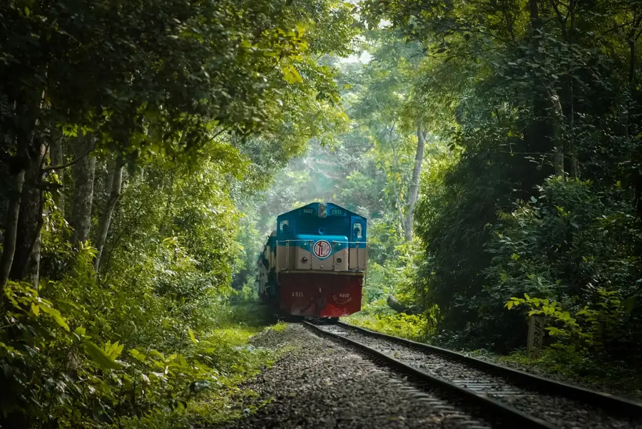
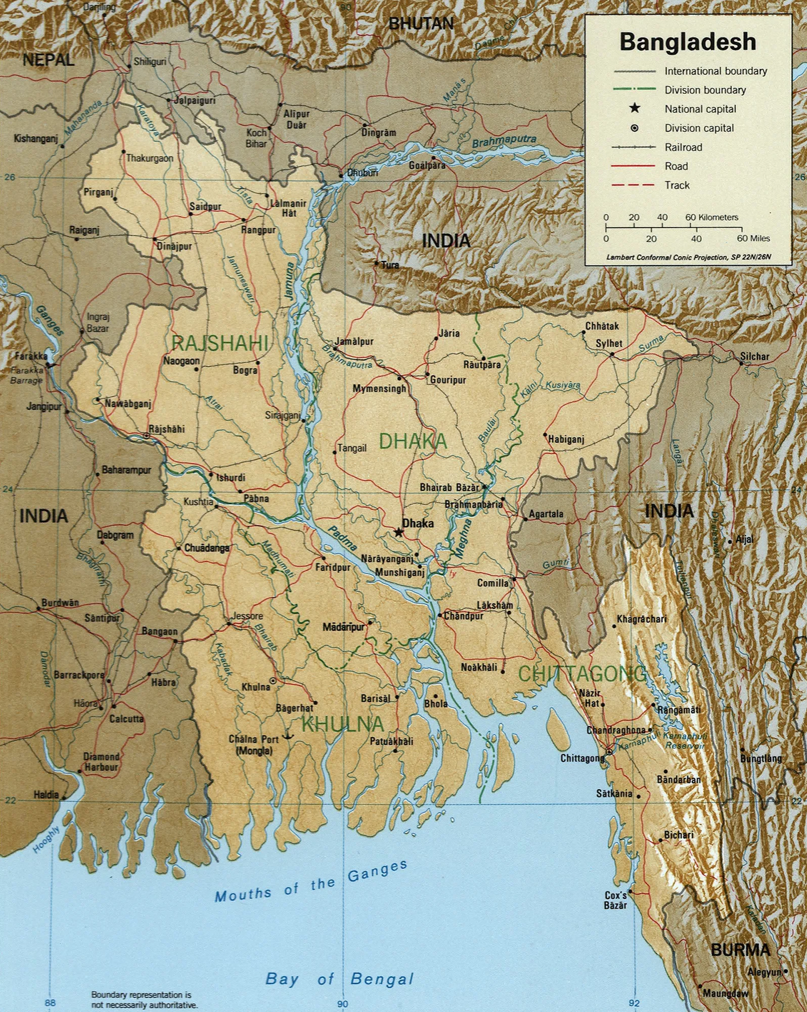
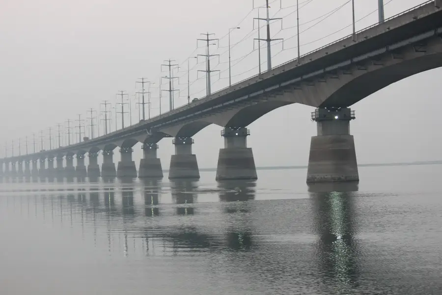
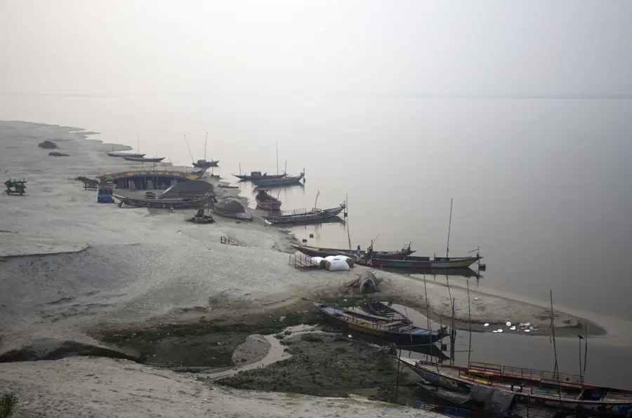
The Jamuna River is the main channel of the Brahmaputra River within Bangladesh and represents one of the most dynamic braided river systems in the world. It is formed after the Brahmaputra turns south from India and expands into a wide, shifting bed. The river is notorious for its frequent channel migrations and the formation of numerous sandy islands, known locally as 'chars,' which are inhabited by millions of people. These island dwellers live under the constant threat of riverbank erosion and seasonal flooding, yet they exhibit extraordinary resilience and adaptability. A major engineering feat is the Bangabandhu Bridge (Jamuna Bridge), completed in 1998, which connects northern Bangladesh with the rest of the country and carries road, rail, gas, and electricity lines. The Jamuna's hydrology is primarily driven by Himalayan snowmelt and intense monsoon rains, resulting in massive peak discharges that can reach 100,000 cubic meters per second. Despite these environmental challenges, the river remains an essential resource for rice irrigation and inland fisheries across several districts.
- Location: Bangladesh
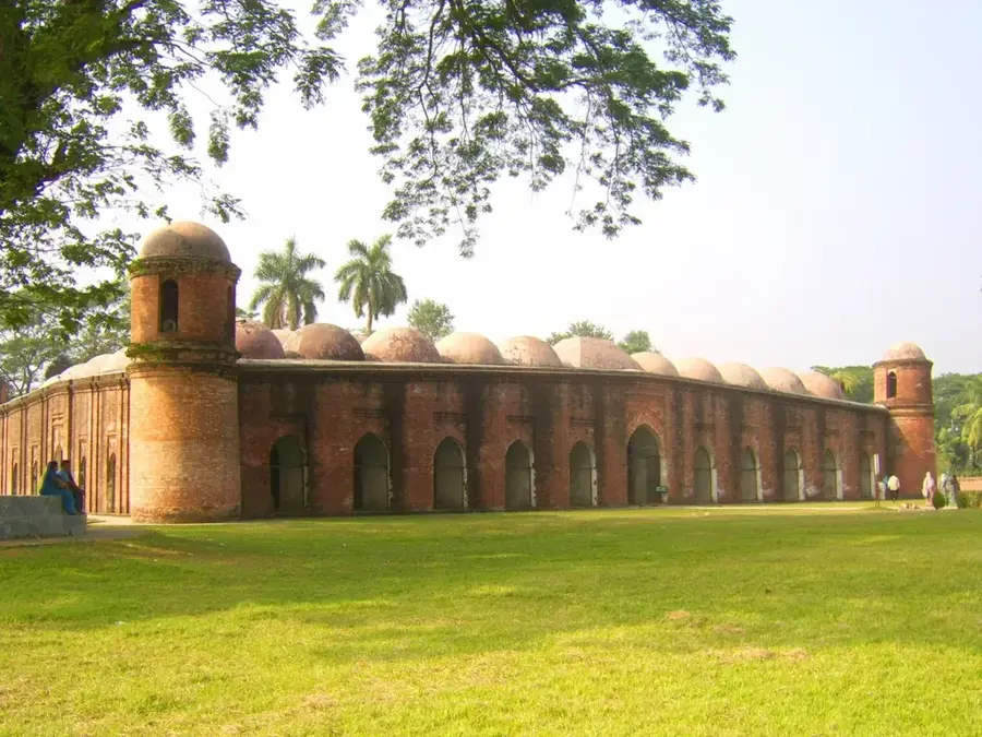
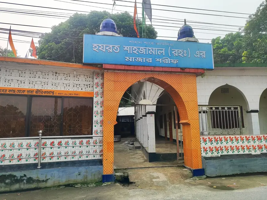
- Top sights: Fakir Palace · Nagarbari-Mohonganj Dolphine Sanctuary · smbhupur baayytul maa'mur jaame msjid
- Nearby: Khulna (13 km)
Best time to visit & climate
The most pleasant time to visit is Feb, Nov, Dec.
| Jan | Feb | Mar | Apr | May | Jun | Jul | Aug | Sep | Oct | Nov | Dec | |
|---|---|---|---|---|---|---|---|---|---|---|---|---|
| Avg °C | 17 | 22 | 27 | 31 | 31 | 30 | 29 | 28 | 28 | 26 | 22 | 18 |
| Rain mm | 8 | 16 | 36 | 104 | 200 | 273 | 330 | 267 | 237 | 159 | 17 | 11 |
📋 Practical info
Geography
Facts
- The Jamuna Bridge is 4.8 kilometers long and was opened in 1998.
- The river has an average width ranging from 8 to 12 kilometers.
- The riverbank can erode or shift by up to 150 meters annually.
- Peak discharge has been recorded at over 100,000 cubic meters per second.
- Approximately 5 million people reside on the unstable 'char' islands.
- The Jamuna transports one of the highest sediment loads in the world.
Explore nearby
Notable places around
Route planner — Car & Motorhome
Where do you start? We build the route here, with stops and country notes along the way.
© OpenStreetMap contributors · OpenRouteService
Sights in the town Jamuna River (8)
Sights nearby
Frequently asked questions
Where does the Jamuna's water come from?
Is there a bridge over the Jamuna?
What are 'chars' in the river?
Is the river important for transport?
How does the river change in winter?
Jamuna River: where is it located?
Jamuna River: what is there to see?
Jamuna River: when is the best time to visit?
Jamuna River: why is it worth visiting?

Nearby cities

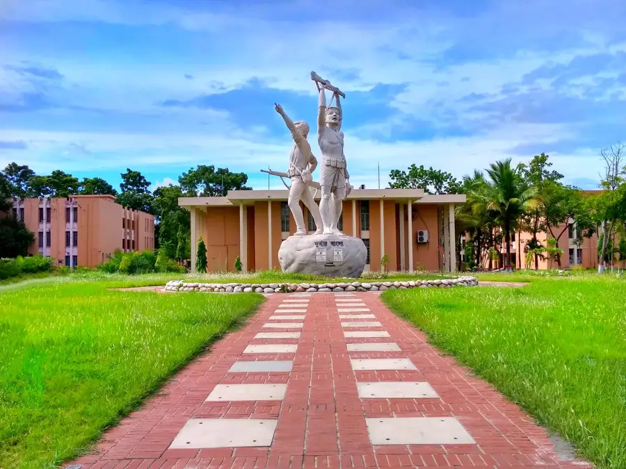

History & landmarks

Nature
More places