Plizio Visual Lab
Bangabandhu Bridge
Weather…
Water temperature…
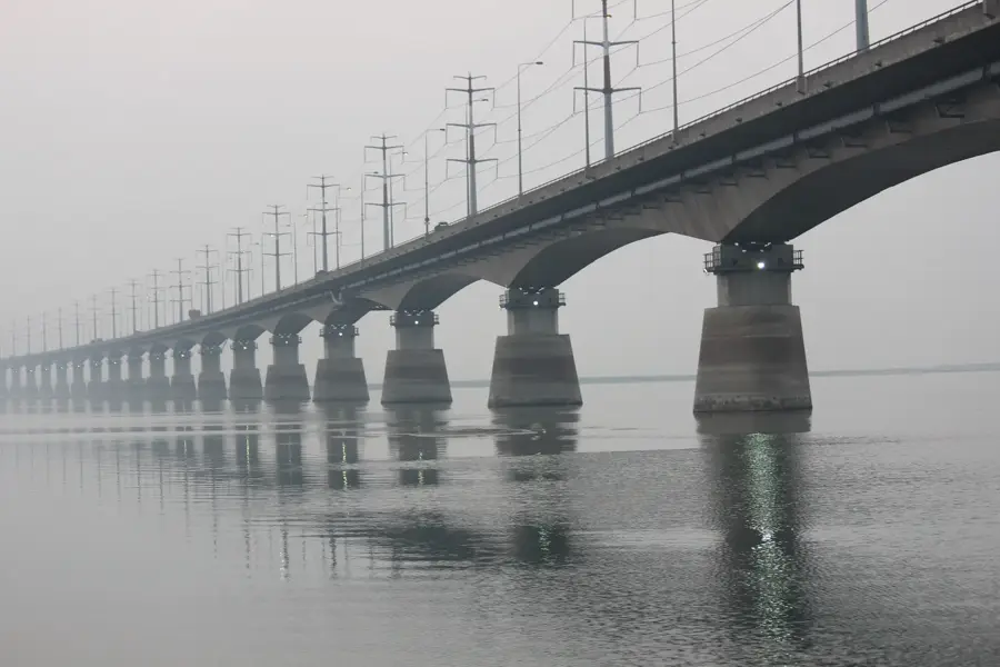
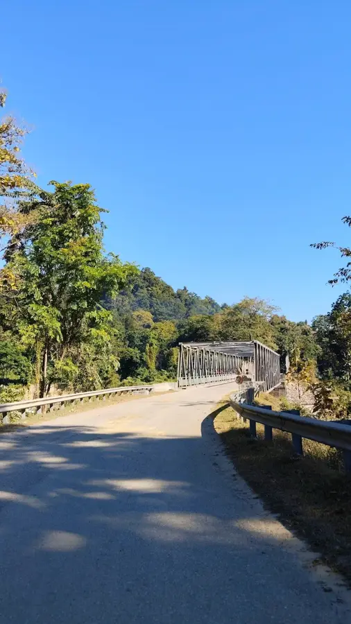
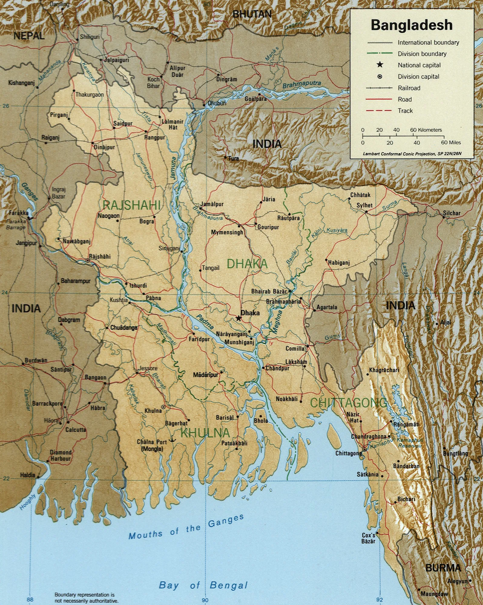
The Bangabandhu Bridge, widely known as the Jamuna Bridge, is a vital strategic link crossing the Jamuna River and connecting the eastern and western parts of Bangladesh. Opened in June 1998, the 4.8-kilometer-long bridge was one of the longest in South Asia at the time of its completion. It is a multipurpose structure designed to carry a four-lane highway, a dual-gauge railway, a high-voltage electricity line, a natural gas pipeline, and telecommunication cables. Before its construction, the Jamuna River acted as a significant barrier to trade and travel, with people relying on slow and often dangerous ferry services. The bridge's design accounts for the river's dynamic nature and high discharge rates, featuring a sophisticated foundation system. Named after the nation's founding father, the bridge has been instrumental in integrating the national economy and accelerating development in the northern and western districts of Bangladesh.
- Location: Bangladesh
- Top sights: Jamuna Resort Wild Life Meseum · Baroshimul Masjid · Soyadhangora Notunpara Mosque
- Nearby: Faridpur (8 km)
Best time to visit & climate
The most pleasant time to visit is Feb, Nov, Dec.
| Jan | Feb | Mar | Apr | May | Jun | Jul | Aug | Sep | Oct | Nov | Dec | |
|---|---|---|---|---|---|---|---|---|---|---|---|---|
| Avg °C | 17 | 21 | 27 | 30 | 30 | 29 | 29 | 29 | 28 | 26 | 22 | 18 |
| Rain mm | 12 | 18 | 45 | 156 | 274 | 362 | 387 | 315 | 286 | 184 | 17 | 11 |
📋 Practical info
Geography
Facts
- The bridge has a total length of 4.8 kilometers and a width of 18.5 meters.
- It was officially opened to the public on June 23, 1998.
- The bridge consists of 47 piers and 50 spans of 99 meters each.
- It carries a 230 kV power line, a 30-inch gas pipe, and fiber optic cables.
- The project was funded by the World Bank, ADB, and the Overseas Economic Cooperation Fund.
- It is named after Sheikh Mujibur Rahman, also known as Bangabandhu.
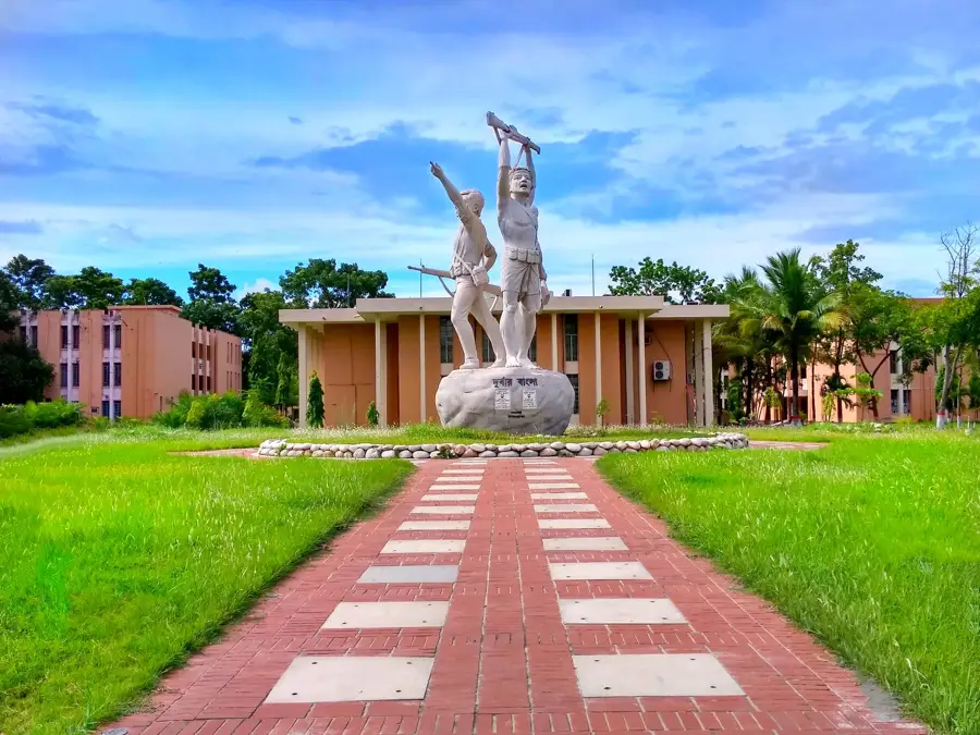
Explore nearby
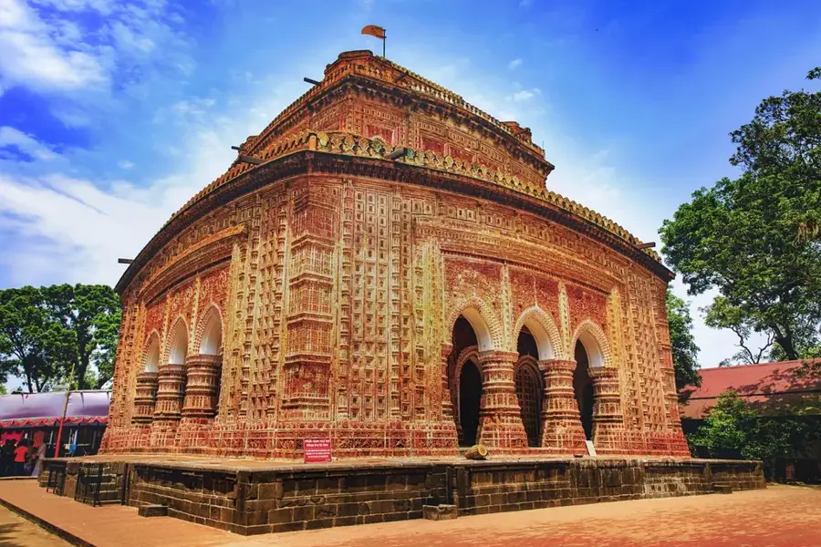
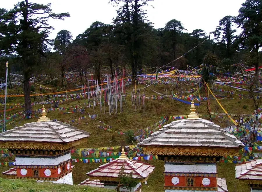
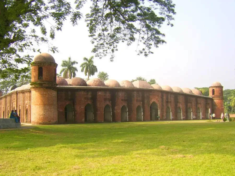
Notable places around
Route planner — Car & Motorhome
Where do you start? We build the route here, with stops and country notes along the way.
© OpenStreetMap contributors · OpenRouteService
Sights in the town Bangabandhu Bridge (10)
Sights nearby
Frequently asked questions
Where is the bridge located?
Is it also known as Bangabandhu Bridge?
Are there walking paths?
Are there rest areas nearby?
How long is it?
Bangabandhu Bridge: where is it located?
Bangabandhu Bridge: what is there to see?
Bangabandhu Bridge: when is the best time to visit?
Bangabandhu Bridge: why is it worth visiting?

Nearby cities

History & landmarks

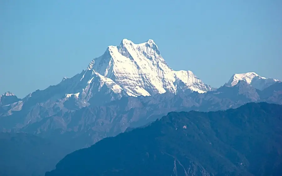
Nature
More places