Plizio Visual Lab
Masang Kang
Weather…
Water temperature…
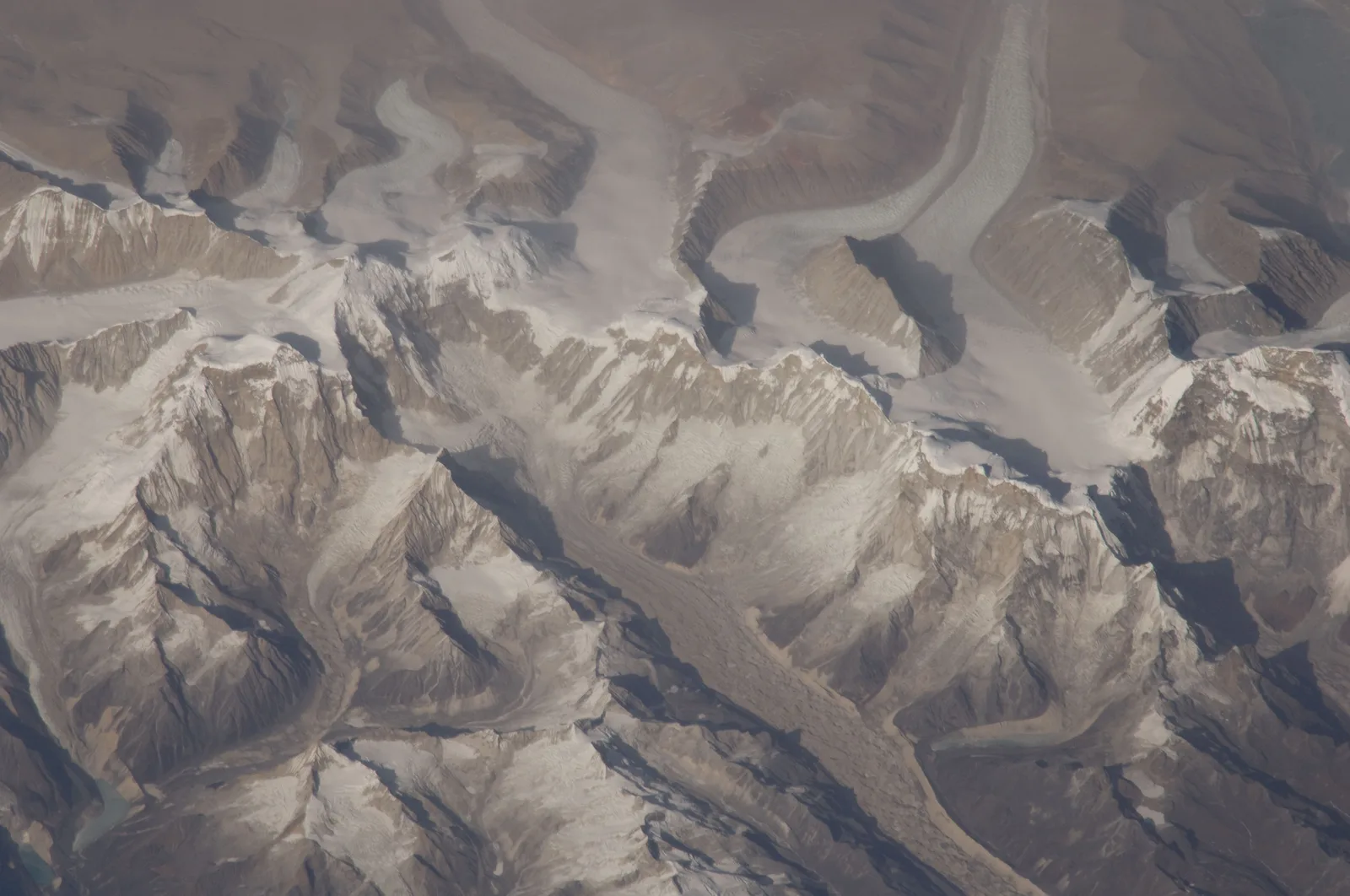
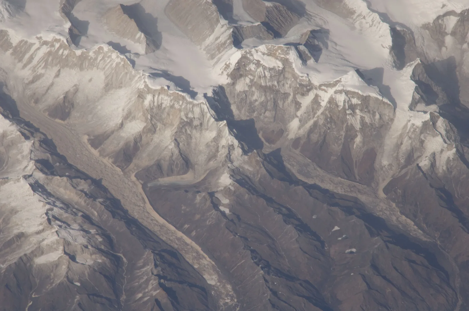
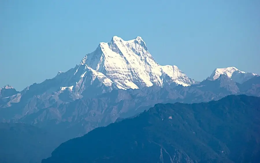
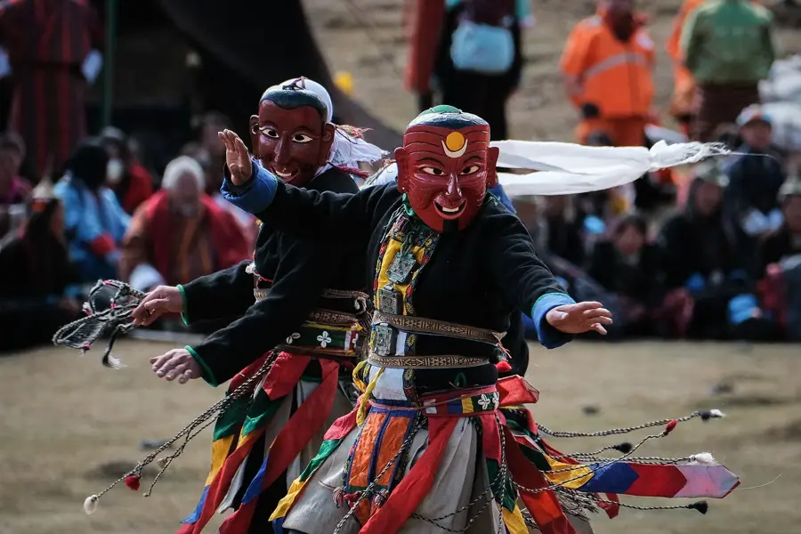
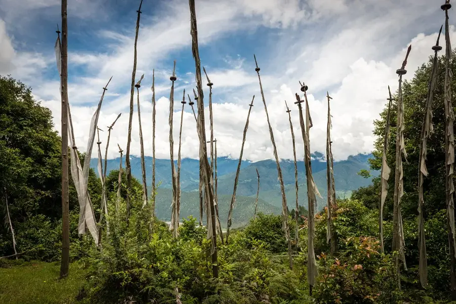
Masang Kang is a prominent, pyramid-shaped peak in the Bhutanese Himalayas, reaching an elevation of 7,194 meters. It is located in the northern part of Jigme Dorji National Park, one of the most biodiverse protected areas in the country. The mountain is situated in the Lunana region, one of the most remote and highest inhabited areas in the world. Masang Kang is part of the larger mountain range that forms the border between Bhutan and Tibet (China). The mountain's name is associated with a protective deity, highlighting its local spiritual significance. The first ascent was made in 1985 by a Japanese expedition led by H. Nakagawa. The climb is technically demanding and requires experience in high-altitude mountaineering, as it passes through glaciated and avalanche-prone areas. The mountain and its surroundings are known for their pristine beauty and extreme wilderness.
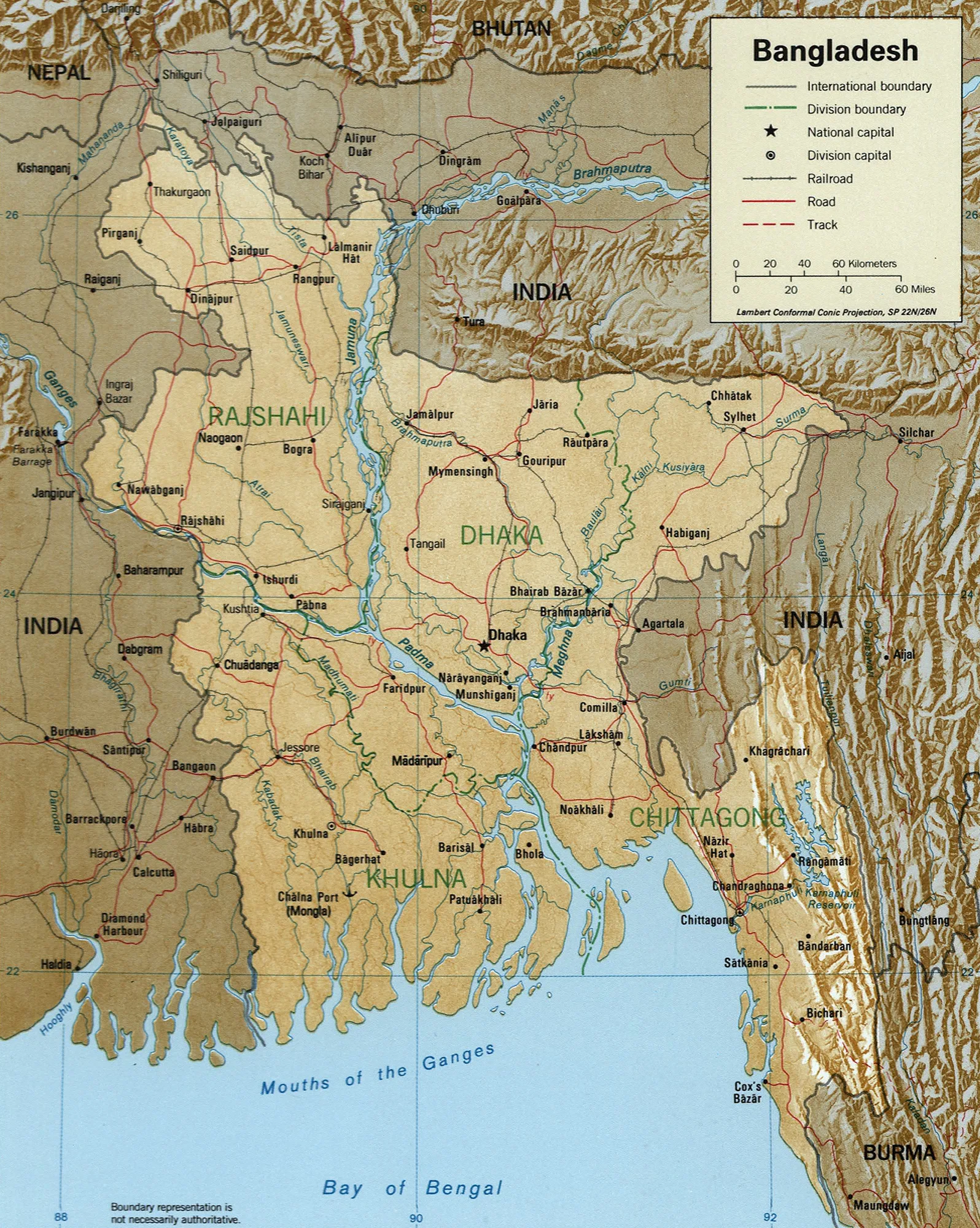
- Location: Bhutan
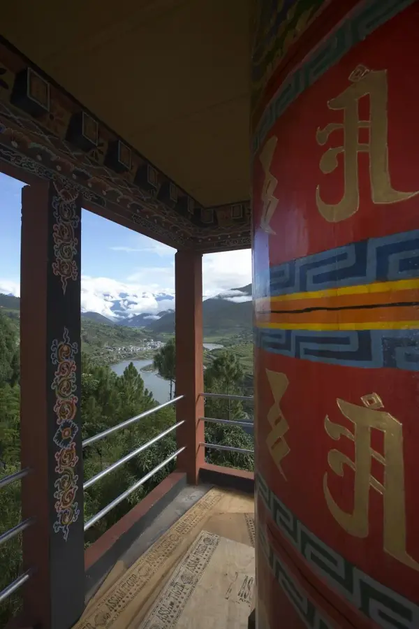
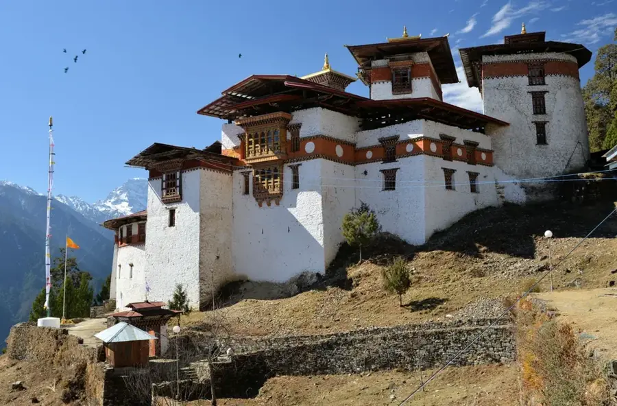
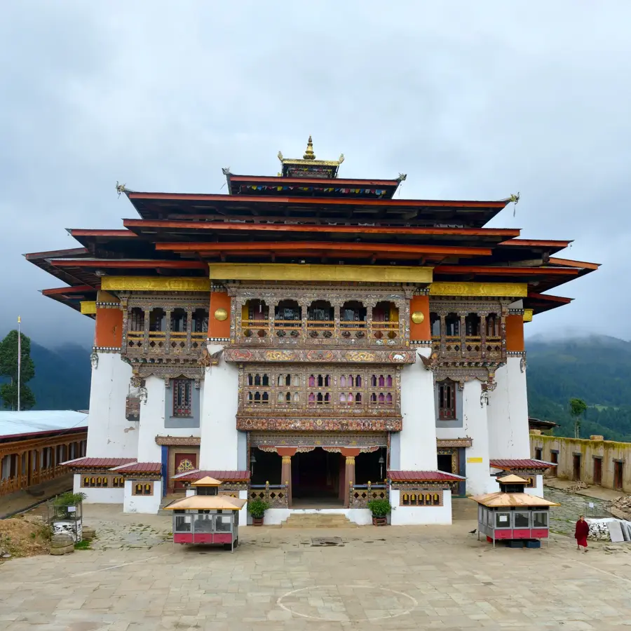
- Top sights: Tsenda Kang · Chetola's viewpoint · Masang Kang
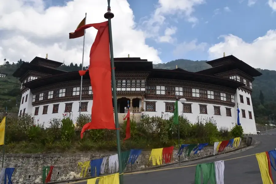
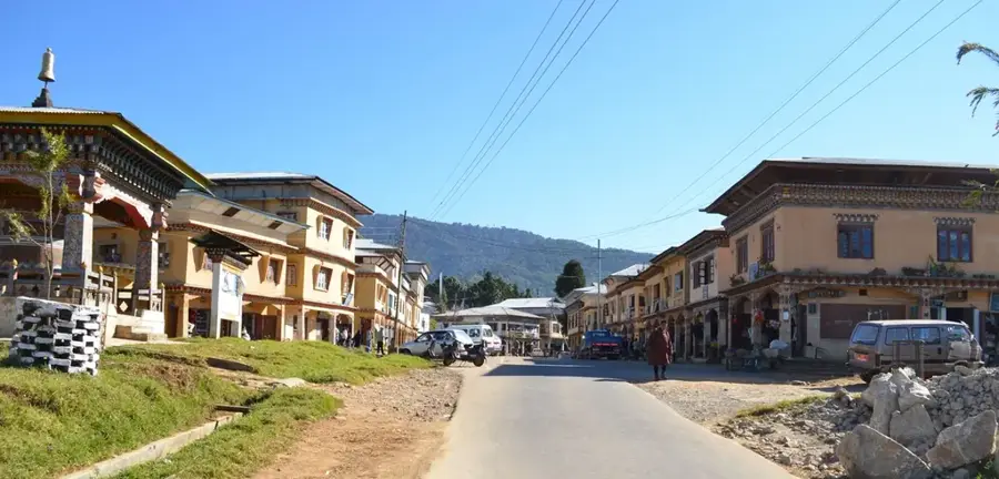
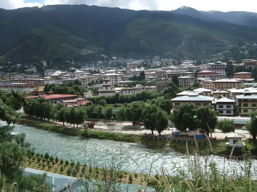
- Nearby: Gasa (8 km)
Best time to visit & climate
The most pleasant time to visit is Jun, Sep, Oct.
| Jan | Feb | Mar | Apr | May | Jun | Jul | Aug | Sep | Oct | Nov | Dec | |
|---|---|---|---|---|---|---|---|---|---|---|---|---|
| Avg °C | -10 | -8 | -6 | -2 | 2 | 6 | 7 | 6 | 5 | 0 | -4 | -7 |
| Rain mm | 3 | 8 | 20 | 36 | 63 | 91 | 168 | 140 | 72 | 27 | 2 | 2 |
📋 Practical info
Geography
Facts
- Reaches a height of 7194 meters.
- Was first climbed in 1985.
Explore nearby
Notable places around
Route planner — Car & Motorhome
Where do you start? We build the route here, with stops and country notes along the way.
© OpenStreetMap contributors · OpenRouteService
Sights in the town Masang Kang (3)
Sights nearby
Frequently asked questions
How high is Masang Kang?
Is it allowed to climb the peak?
Where is the best view from?
Are there base camps for hikers?
How is the weather at Masang Kang?
Masang Kang: where is it located?
Masang Kang: what is there to see?
Masang Kang: when is the best time to visit?
Masang Kang: why is it worth visiting?

Nearby cities

History & landmarks

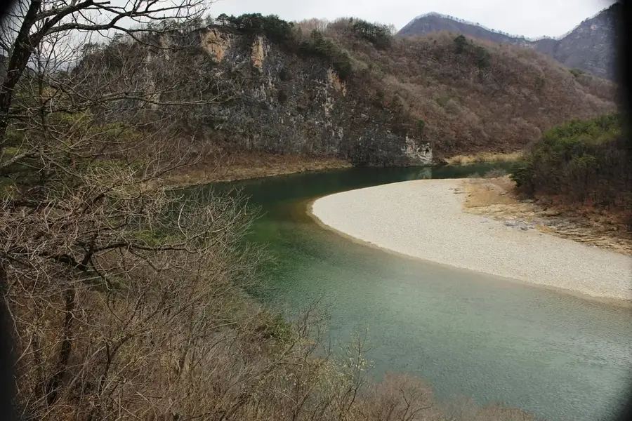
Nature
More places