Plizio Visual Lab
Wang Chhu
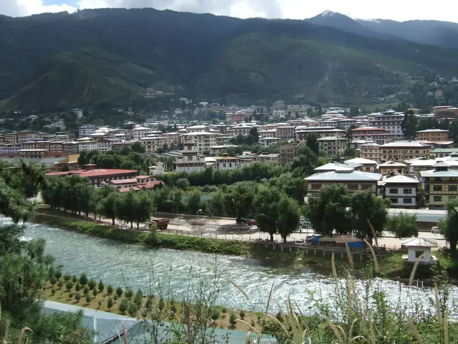
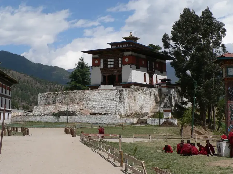
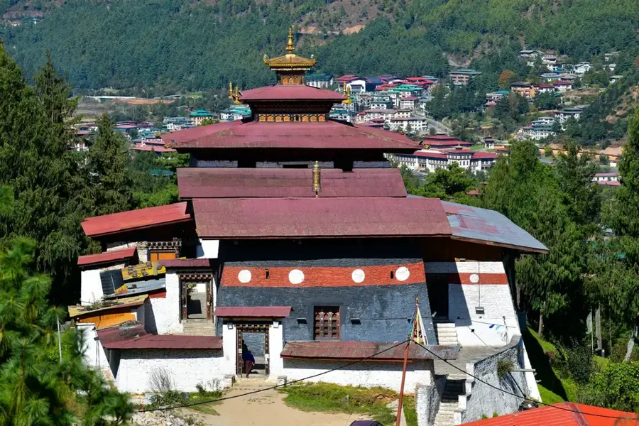
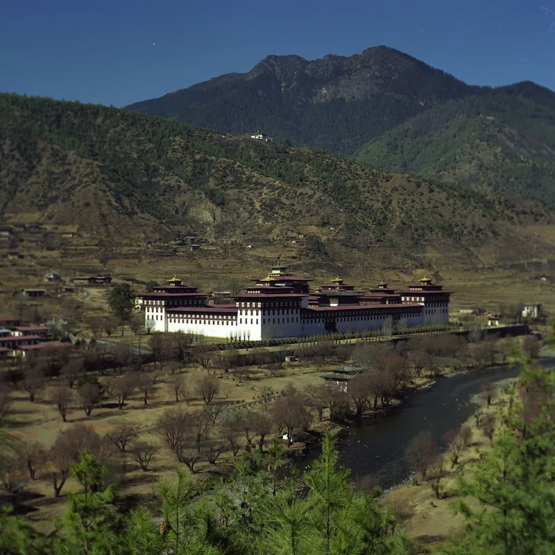
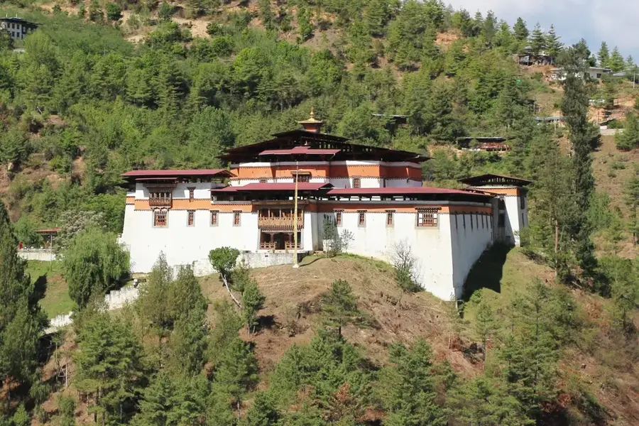
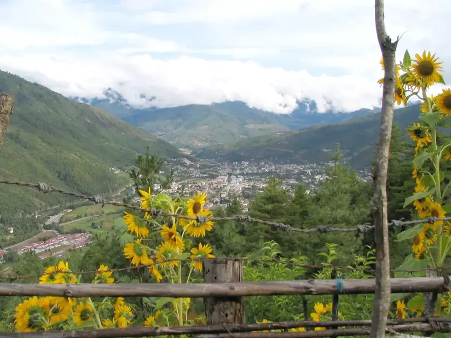
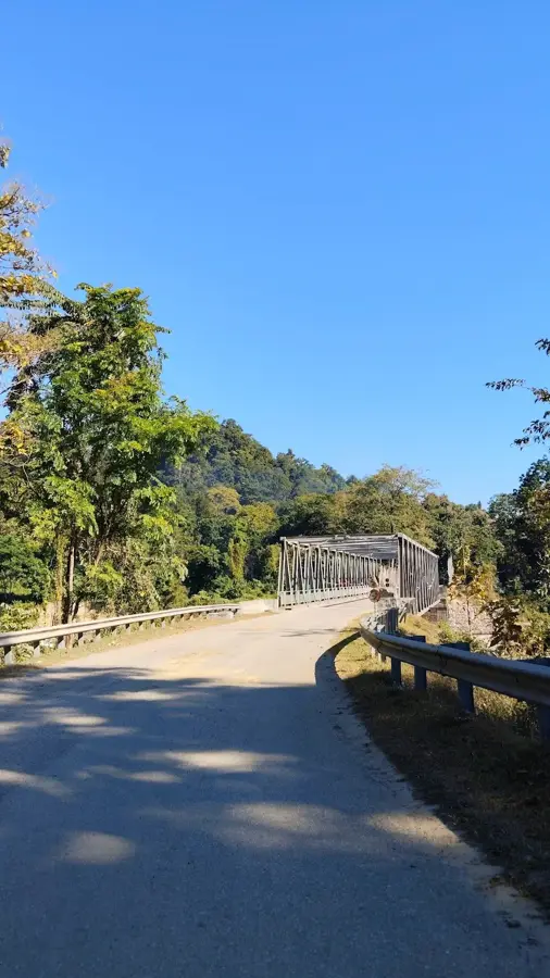
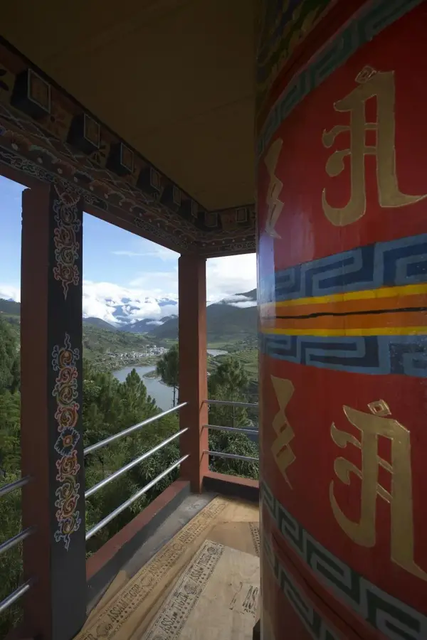
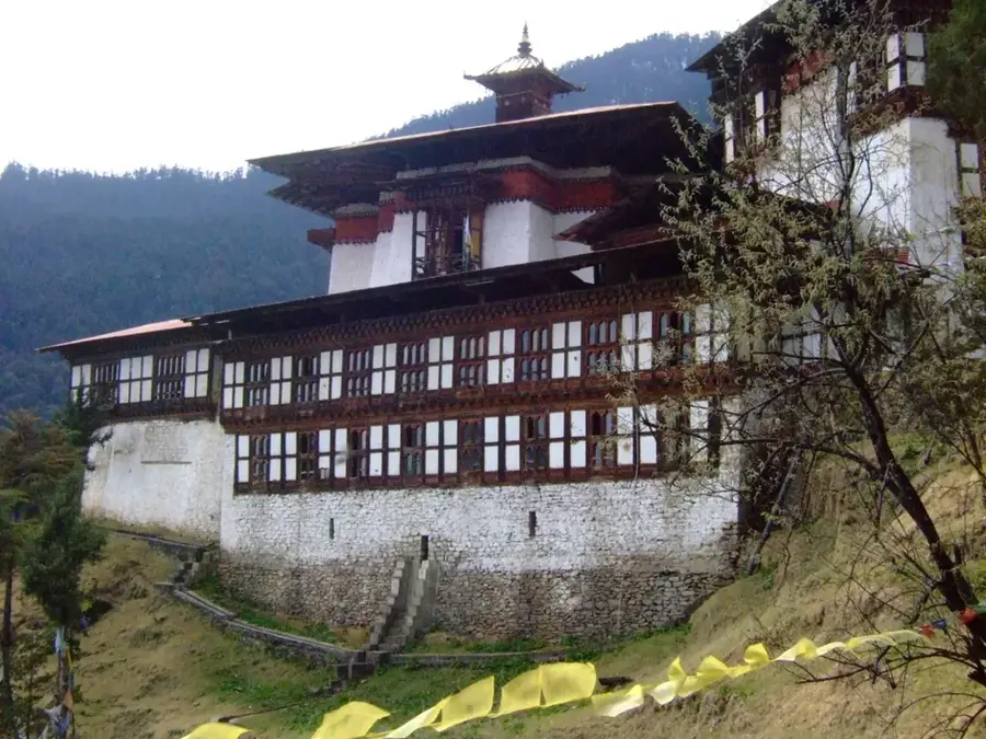
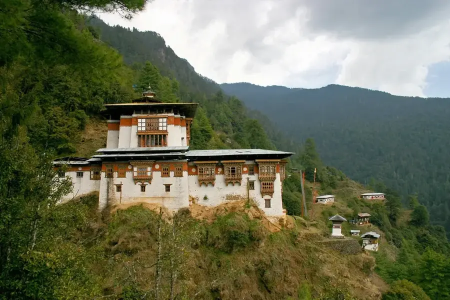
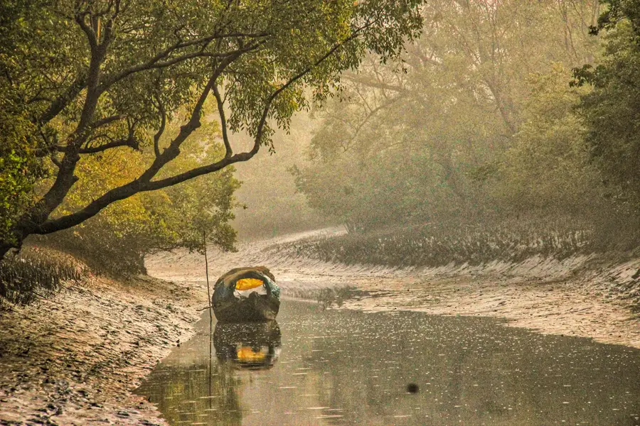
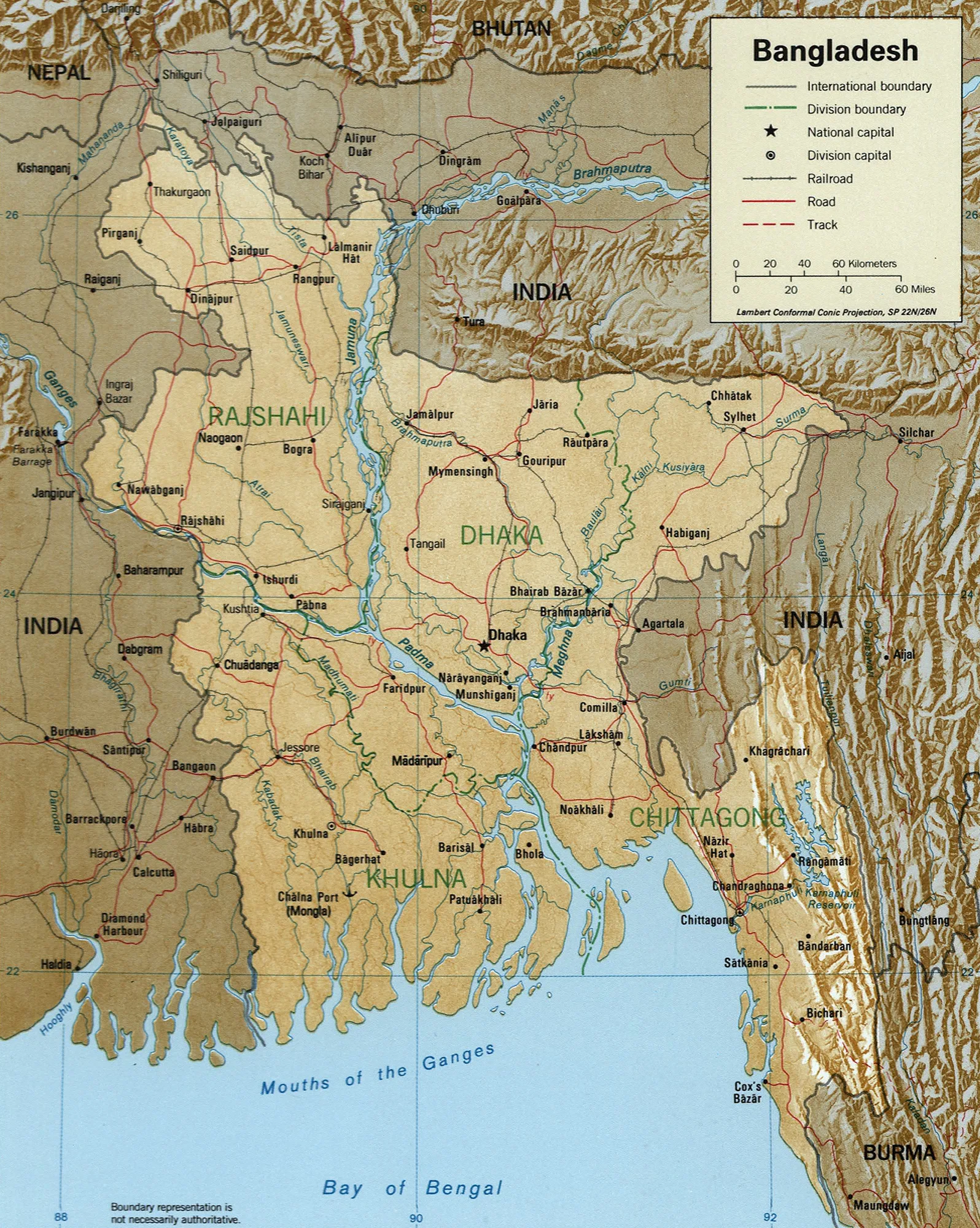
The Wang Chhu, also known as the Raidak, is a significant river that flows through western Bhutan. It originates in the Himalayas north of Thimphu and traverses the nation's capital, making it a vital lifeline for Bhutan's largest urban population. The river has carved a deep gorge into the landscape and flows through the districts of Paro, Thimphu, Chhukha, and Samtse. Its hydropower is intensively utilized by some of the country's oldest and most important hydroelectric plants, such as the Chhukha Hydroelectric Plant and the Tala Hydroelectric Plant. These facilities were instrumental in Bhutan's development as a leading exporter of clean energy. The river exits Bhutan in the south and flows through West Bengal in India to join the Brahmaputra. Along its course, the landscape changes from alpine regions to subtropical valleys, supporting a rich flora and fauna.
- Location: Bhutan
- Nearby: Laya (6 km)
Best time to visit & climate
The most pleasant time to visit is Jun, Sep, Oct.
| Jan | Feb | Mar | Apr | May | Jun | Jul | Aug | Sep | Oct | Nov | Dec | |
|---|---|---|---|---|---|---|---|---|---|---|---|---|
| Avg °C | -2 | 0 | 2 | 6 | 9 | 12 | 13 | 12 | 11 | 7 | 3 | 0 |
| Rain mm | 5 | 12 | 32 | 60 | 108 | 153 | 259 | 207 | 134 | 51 | 3 | 3 |
📋 Practical info
Geography
Facts
- Also known as the Raidāk River.
- Passes the Chhukha hydroelectric plant.
- Has clear, cold mountain water.
Explore nearby
Notable places around
Route planner — Car & Motorhome
Where do you start? We build the route here, with stops and country notes along the way.
© OpenStreetMap contributors · OpenRouteService
Sights in the town Wang Chhu (1)
Sights nearby
Frequently asked questions
Through which cities does the Wang Chhu flow?
Is the river polluted?
Are there hydroelectric plants on the Wang Chhu?
What can you do on the riverbank in Thimphu?
How deep is the river on average?
Wang Chhu: where is it located?
Wang Chhu: when is the best time to visit?
Wang Chhu: why is it worth visiting?

Nearby cities

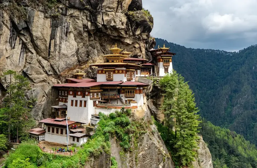
History & landmarks

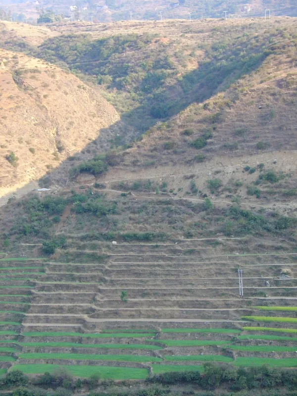
Nature
More places