Plizio Visual Lab
Daga

ℹ️Practical info — Daga
▾
🌤 Weather — 5 days
📍 Nearby
Sights nearby
💡 Tips
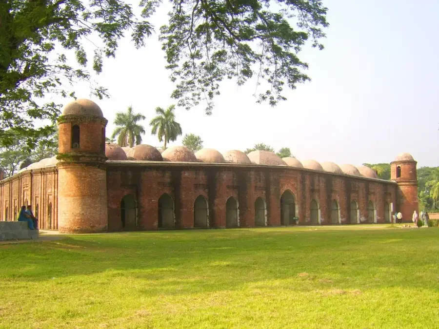
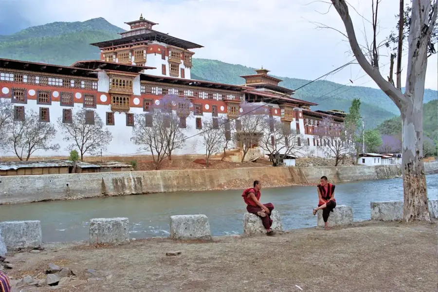
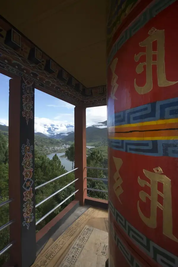
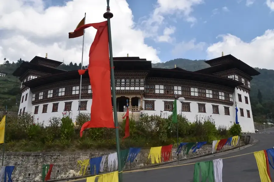
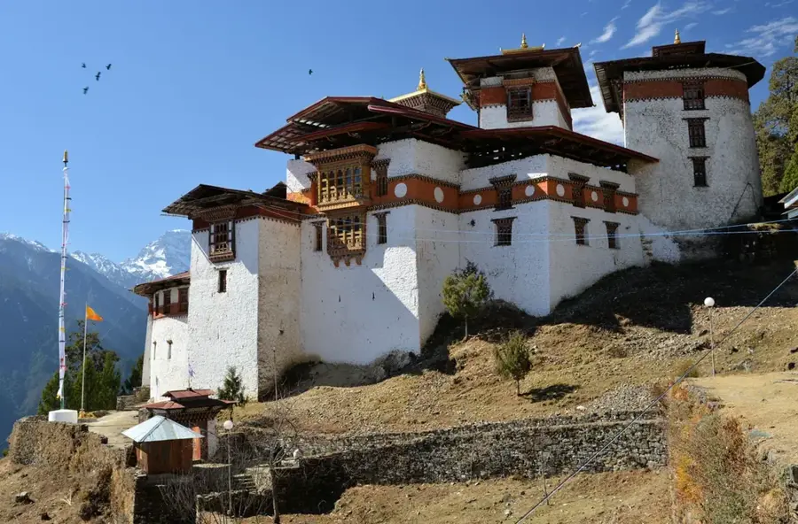
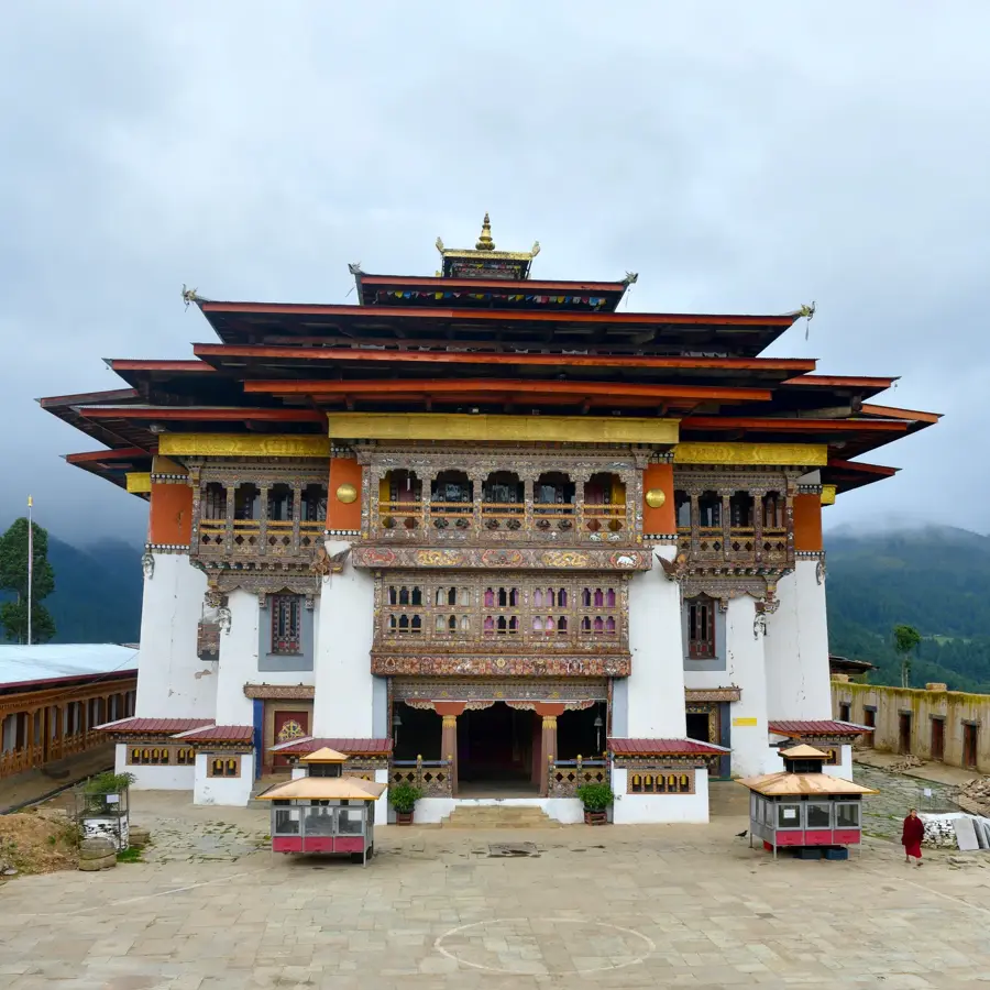
- The historic 17th-century Daga Dzong is the main attraction; dress modestly (covered arms and legs) when visiting this sacred fortress.
- The town is built on steep hillsides; comfortable, broken-in walking shoes with good grip are essential.
- Located at a high altitude, you may feel short of breath; take your time walking up the steep paths.
- Winters can be very cold and mornings chilly even in spring; dress in layers to adapt to the changing temperatures.
🍽 Food
The national dish of spicy chilies and cheese, available in every local guesthouse and small eatery.
The nutty, nutritious staple accompaniment to most Bhutanese meals here.
Try this warming, savory tea at a local teahouse; it's first-rate for cold, high-altitude mornings.
🛍 Shopping · 🧘 Quiet spots
Look for small shops near the Dzong selling intricate woven textiles and traditional wooden bowls.
A great place to buy fresh local produce and observe farmers from surrounding valleys trading their goods.
The outer areas of the fortress are incredibly serene and offer impressive, unobstructed valley views.
The walking paths leading out of the town into the surrounding pine forests are excellent for a quiet, meditative walk.
Water temperature…
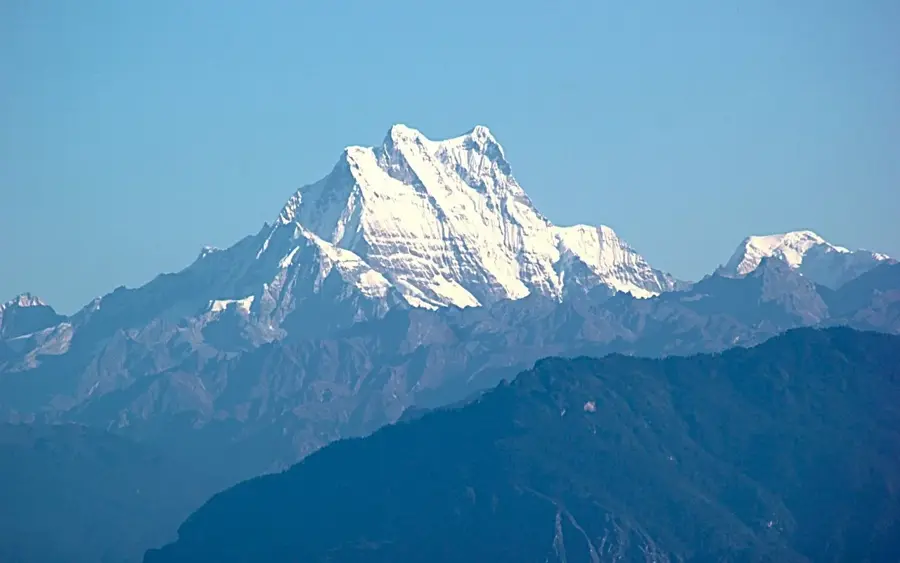
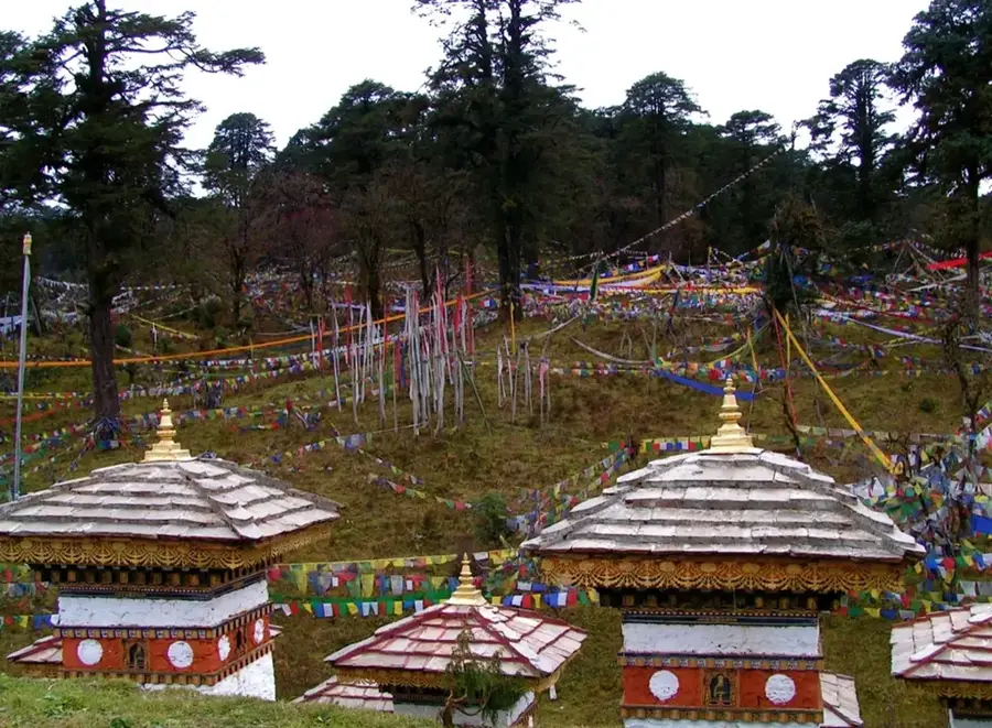
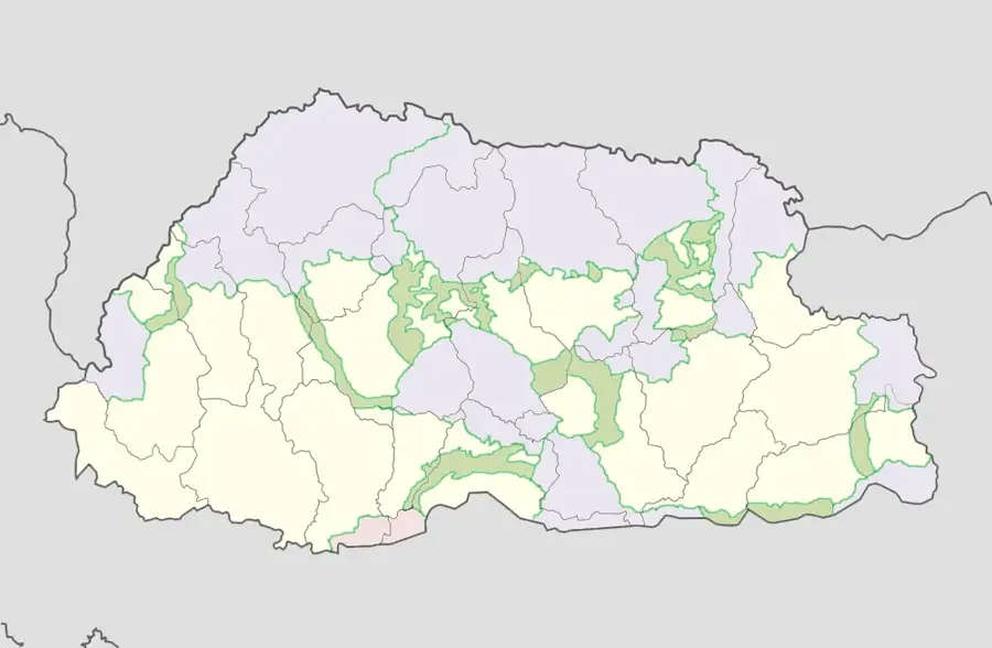
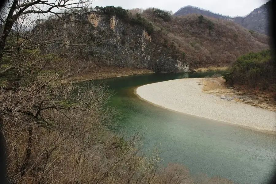
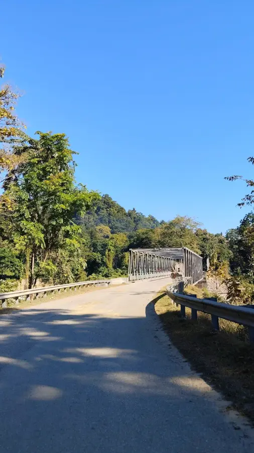
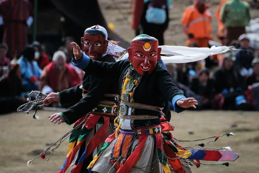
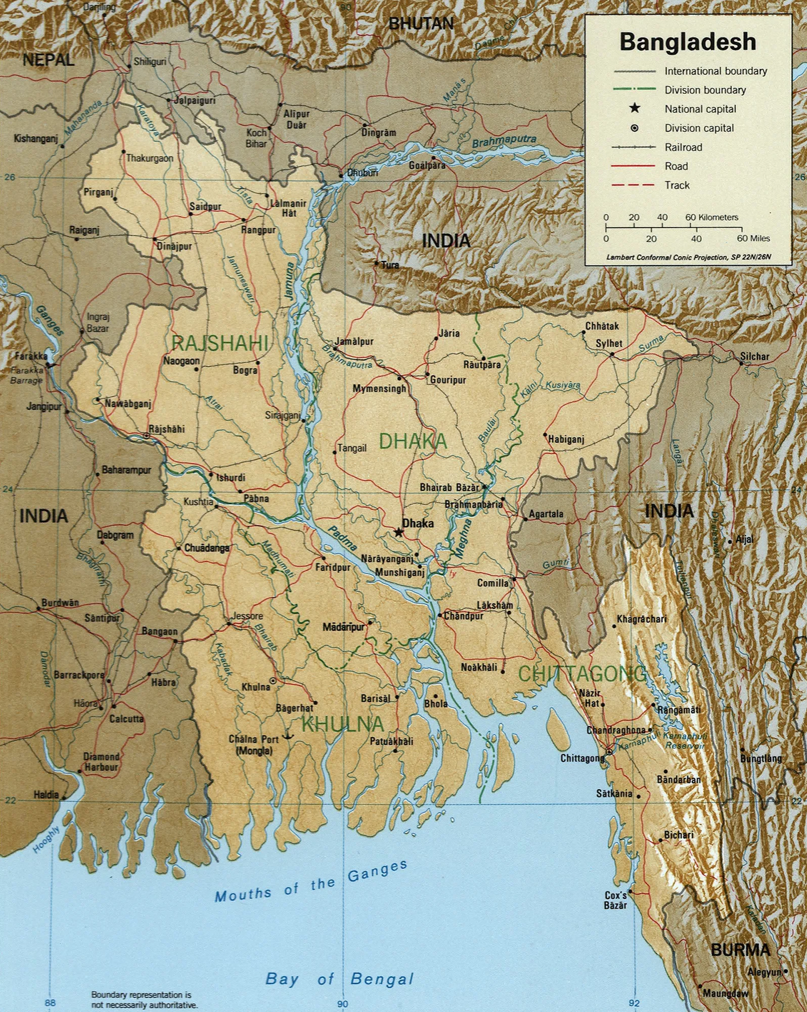
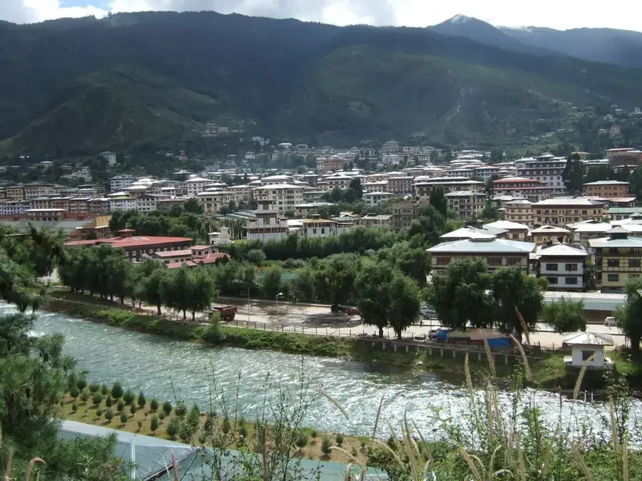
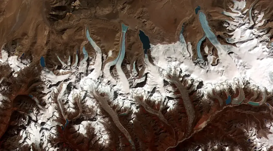
Daga, also known as Dagana, is located in southwestern Bhutan and remains one of the most remote and least visited regions in the kingdom. The town serves as the administrative headquarters of the Dagana District and is perched on a steep hillside overlooking deep, rugged valleys. Its defining architectural feature is the Daga Dzong, constructed in 1651, which historically served as a vital frontier outpost to secure the southern borders. The region is characterized by an extremely mountainous topography that presents challenges for agriculture but gives spectacular vistas. Daga is known for its rich biodiversity and its traditional customs, which have been well-preserved due to the area's isolation. Most residents are engaged in subsistence farming, with oranges and cardamom serving as the primary cash crops. Recent improvements to the road infrastructure have made this mystical region more accessible to outsiders. The town exudes a sense of deep tranquility, making it a convenient destination for travelers seeking the authentic, untouched spirit of Bhutan away from more popular routes.
- Location: Bhutan
- Nearby: Lhamoizingkha (6 km)
- Population: ~2.243 (2026)
Best time to visit & climate
The most pleasant time to visit is Mar, Oct, Nov.
| Jan | Feb | Mar | Apr | May | Jun | Jul | Aug | Sep | Oct | Nov | Dec | |
|---|---|---|---|---|---|---|---|---|---|---|---|---|
| Avg °C | 8 | 10 | 14 | 17 | 19 | 21 | 21 | 21 | 20 | 17 | 13 | 10 |
| Rain mm | 5 | 14 | 39 | 125 | 199 | 274 | 365 | 280 | 222 | 101 | 6 | 3 |
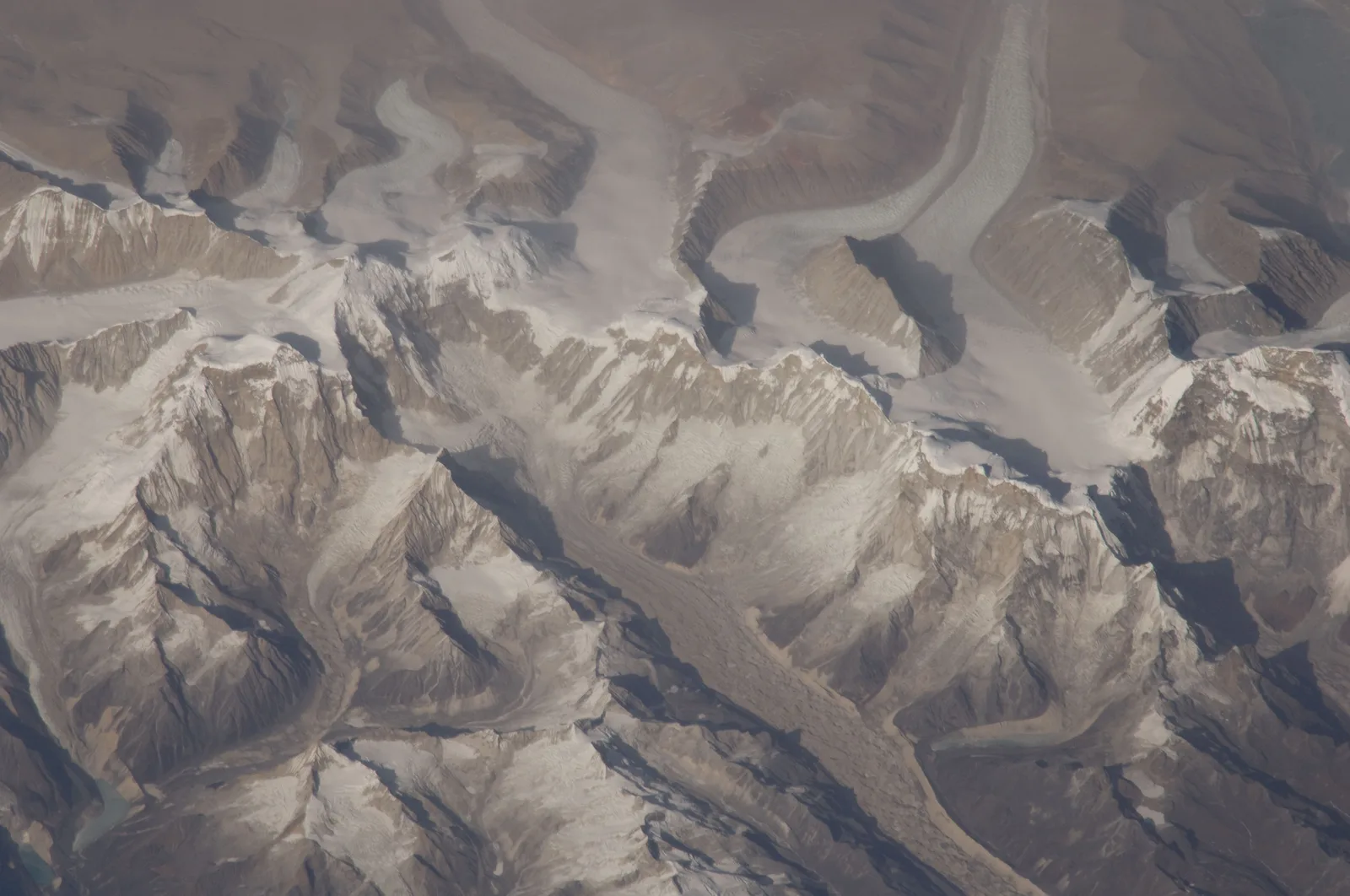
Geography
Facts
- Daga Dzong was officially completed in 1651.
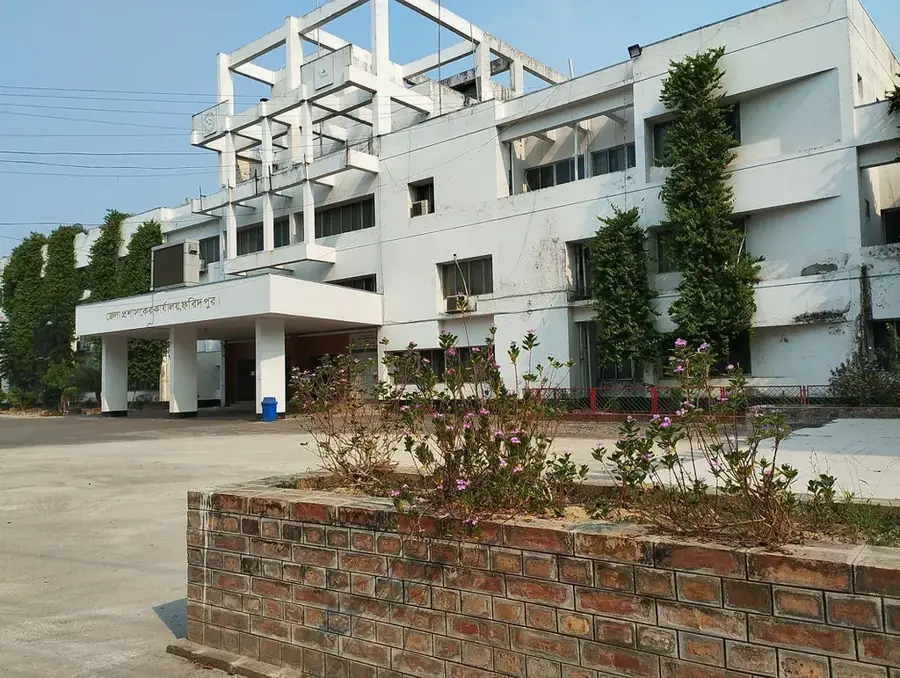
- The town serves as the administrative seat of Dagana District.
- Daga is a significant producer of oranges for export.
- The region is one of the least densely populated in southwestern Bhutan.
- The area is home to three famous sacred rocks known as Daga Trashiyangtsi.
- The name Daga is derived from words meaning 'Dark Mountain' or 'Righteous Mountain'.
Explore nearby
Notable places around
Route planner — Car & Motorhome
Where do you start? We build the route here, with stops and country notes along the way.
© OpenStreetMap contributors · OpenRouteService
Frequently asked questions
What is the main attraction in Daga?
How is the climate in Daga?
Is Daga developed for tourism?
Are there restaurants in Daga?
When is the best time to visit?
Daga: where is it located?
Daga: when is the best time to visit?
Daga: why is it worth visiting?

Nearby cities


History & landmarks

Nature
More places