Plizio Visual Lab
Sundarbans
Weather…
Water temperature…
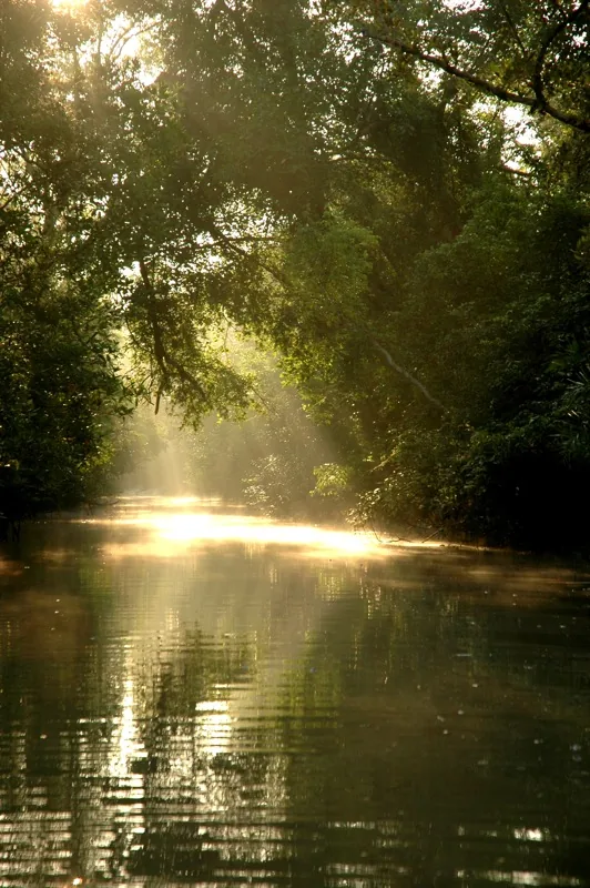
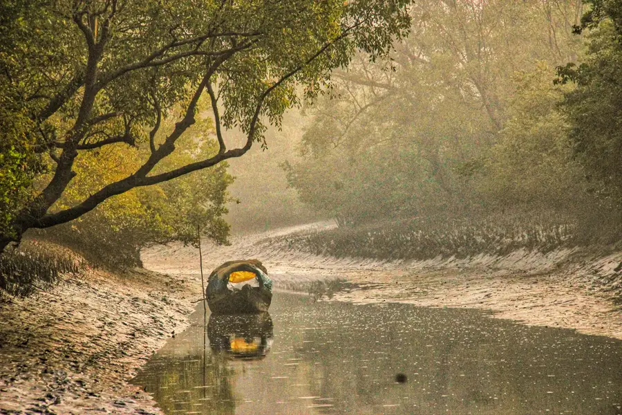
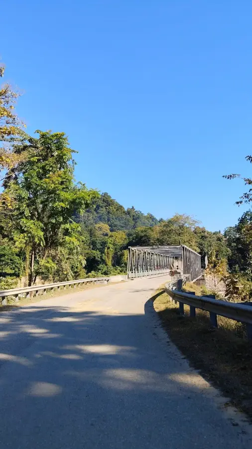
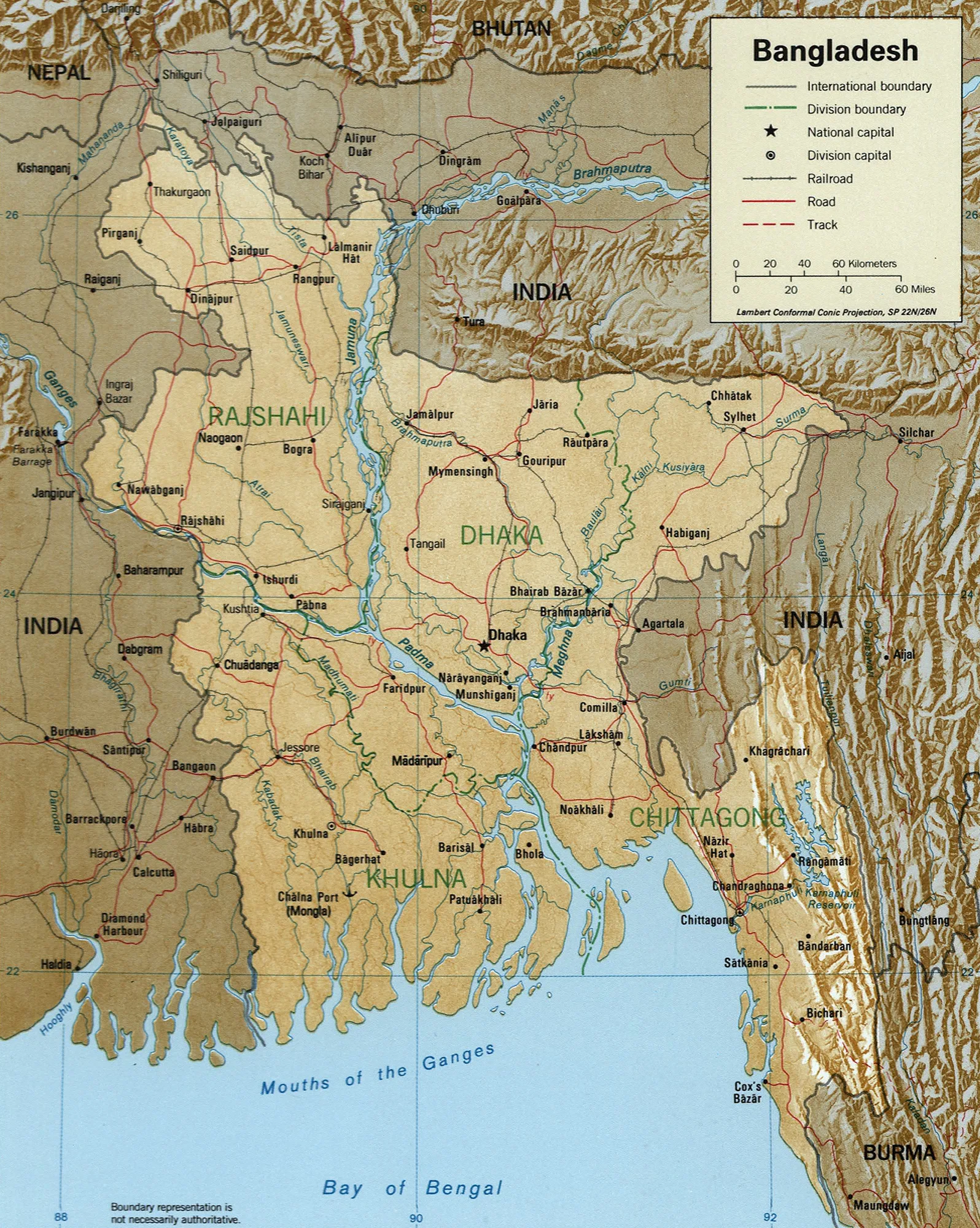
The Sundarbans is the largest contiguous mangrove forest on Earth, covering approximately 10,000 square kilometers across Bangladesh and India. It is situated in the vast delta formed by the confluence of the Ganges, Brahmaputra, and Meghna rivers. Designated as a UNESCO World Heritage site, the region is composed of a complex network of tidal waterways, mudflats, and small islands of salt-tolerant mangrove forests. This unique ecosystem is globally renowned as the primary natural habitat of the endangered Royal Bengal tiger. Beyond the tigers, the forest supports a rich biodiversity, including spotted deer, saltwater crocodiles, monitor lizards, and hundreds of bird species. The dense canopy is largely made up of Sundari trees, from which the region derives its name. There are no roads into the Sundarbans; exploration is conducted entirely by boat. Multi-day river cruises and small boat tours typically depart from Khulna or Mongla. The optimal time for a visit is between November and February, when the weather is cool and dry, making wildlife spotting along the riverbanks much easier.
- Location: Bangladesh
- Nearby: Bogra (16 km)
Best time to visit & climate
The most pleasant time to visit is Jan, Feb, Dec.
| Jan | Feb | Mar | Apr | May | Jun | Jul | Aug | Sep | Oct | Nov | Dec | |
|---|---|---|---|---|---|---|---|---|---|---|---|---|
| Avg °C | 20 | 24 | 28 | 30 | 30 | 29 | 28 | 28 | 28 | 27 | 24 | 20 |
| Rain mm | 11 | 23 | 37 | 64 | 179 | 330 | 490 | 404 | 312 | 219 | 43 | 13 |
📋 Practical info
Geography
Facts
- Largest mangrove forest in the world
- UNESCO World Heritage site
- Home to Royal Bengal tigers
- Covers 10,000 square kilometers
- Formed by three river deltas
- Accessible only by boat tours
- Named after the local Sundari trees
- Rich in saltwater crocodiles and deer
Explore nearby
Notable places around
Route planner — Car & Motorhome
Where do you start? We build the route here, with stops and country notes along the way.
© OpenStreetMap contributors · OpenRouteService
Sights in the town Sundarbans (1)
Sights nearby
Frequently asked questions
Sundarbans: where is it located?
Sundarbans: when is the best time to visit?
Sundarbans: why is it worth visiting?

Nearby cities


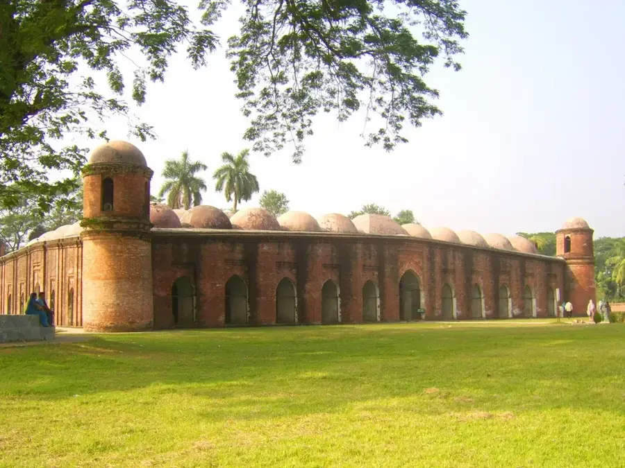
History & landmarks


Nature
More places