Plizio Visual Lab
Karabakh Plateau
Weather…
Water temperature…
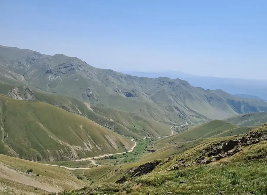
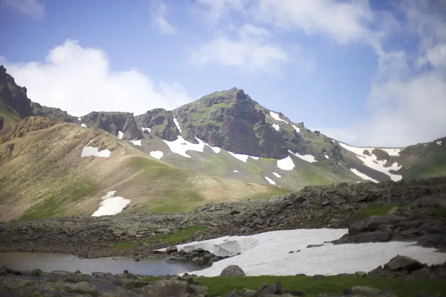
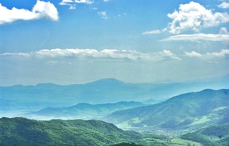
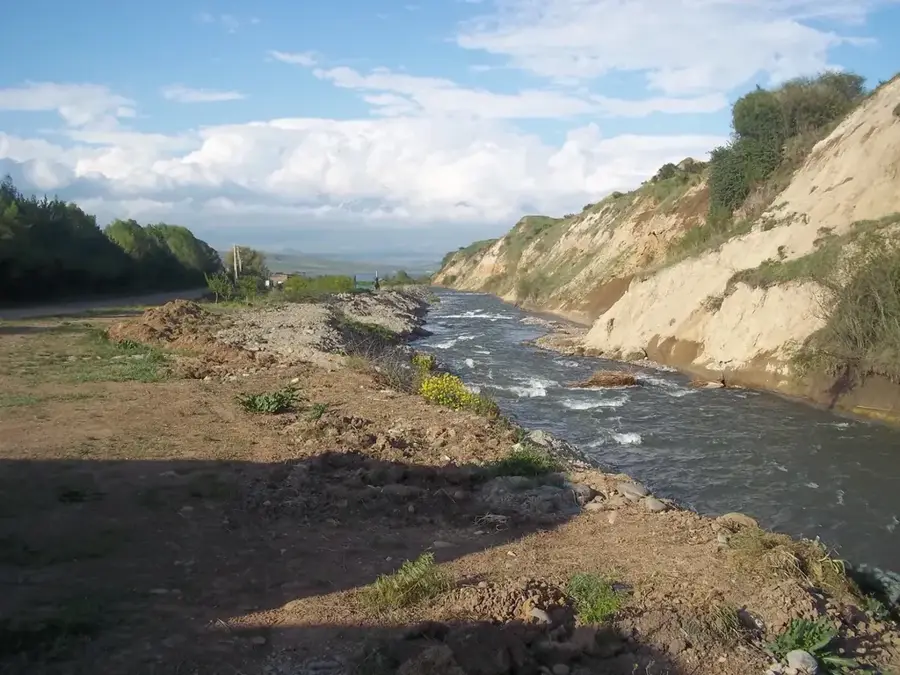
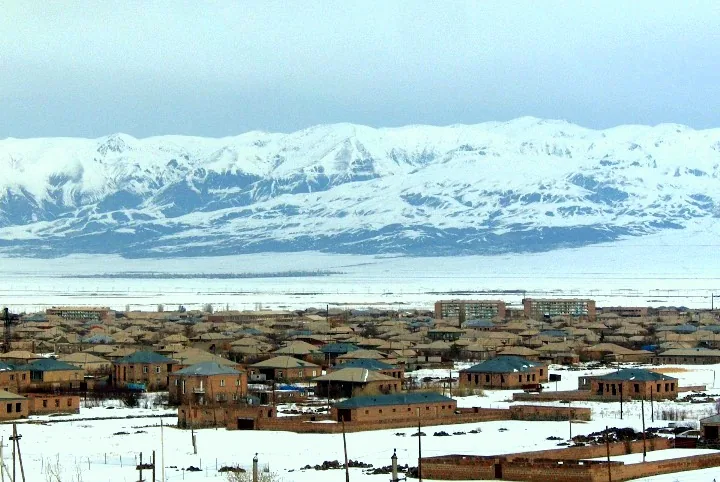
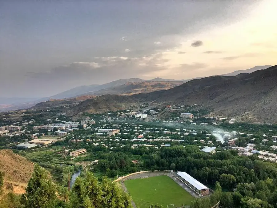
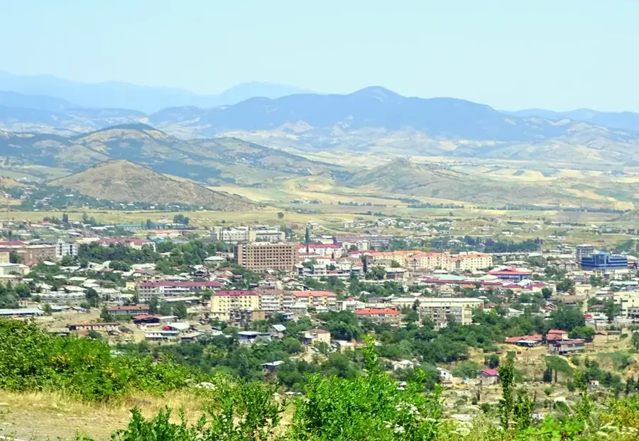
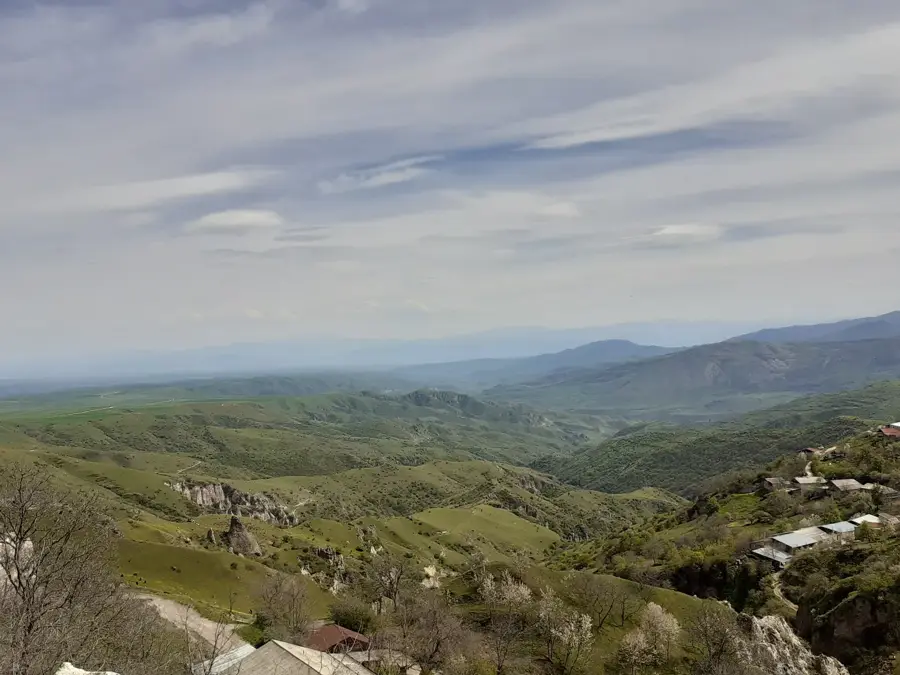
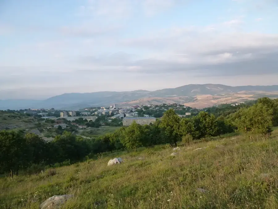
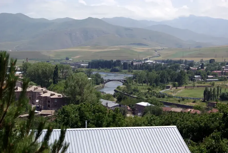
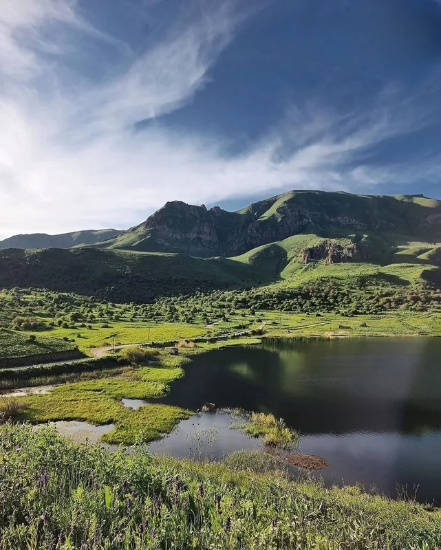
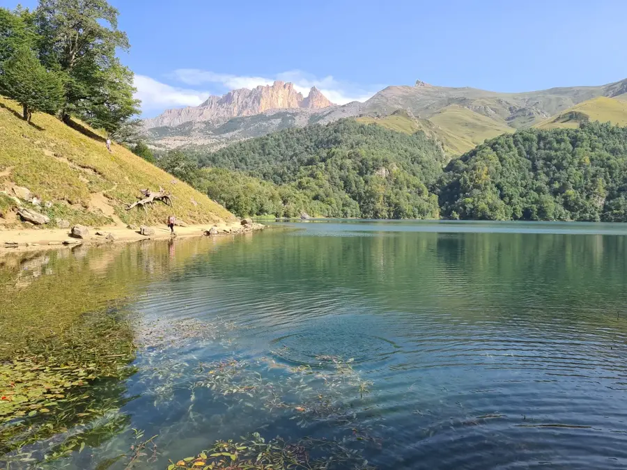
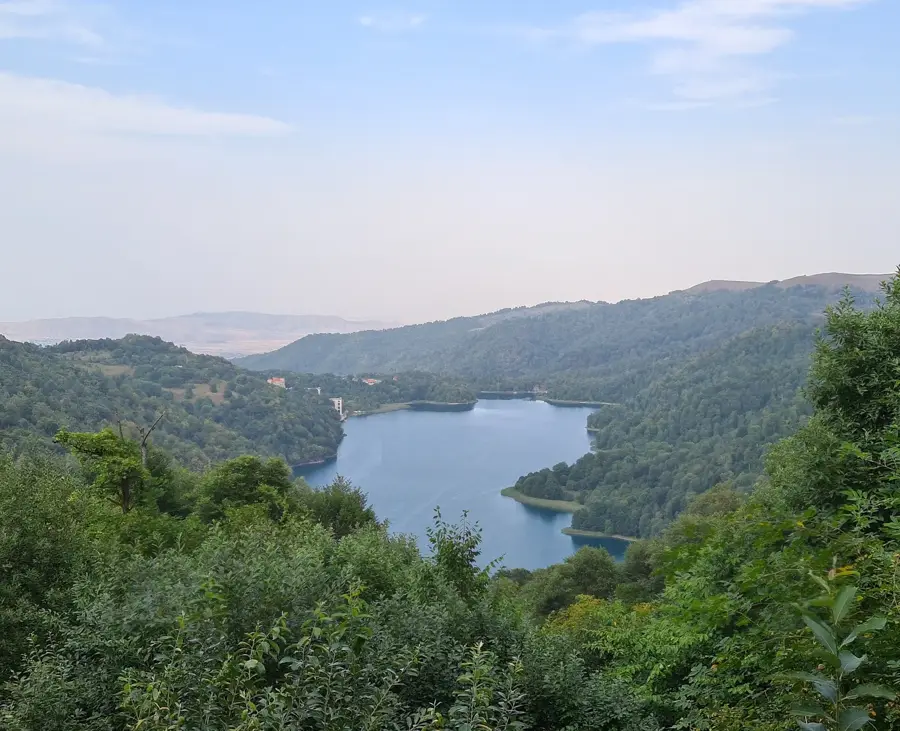
The Karabakh Plateau is a volcanic upland located in southwestern Azerbaijan, forming part of the Lesser Caucasus mountain system. It lies between the Zangezur and Karabakh mountain ranges, with an average elevation ranging from 2,000 to 2,500 meters. The landscape is characterized by extinct volcanic cones, vast alpine meadows, and deep river valleys carved by tributaries of the Aras and Kura rivers. Geologically, the plateau consists primarily of volcanic rocks such as basalt and tuff, reflecting intense magmatic activity in the past. Due to its high altitude, the region experiences a harsh mountain climate with snowy winters and cool summers. The plateau is ecologically significant and has traditionally served as summer pasture for livestock. Additionally, important rivers like the Tartar and Hakari originate here, providing essential water for the irrigation of the surrounding lowlands.
- Location: Azerbaijan
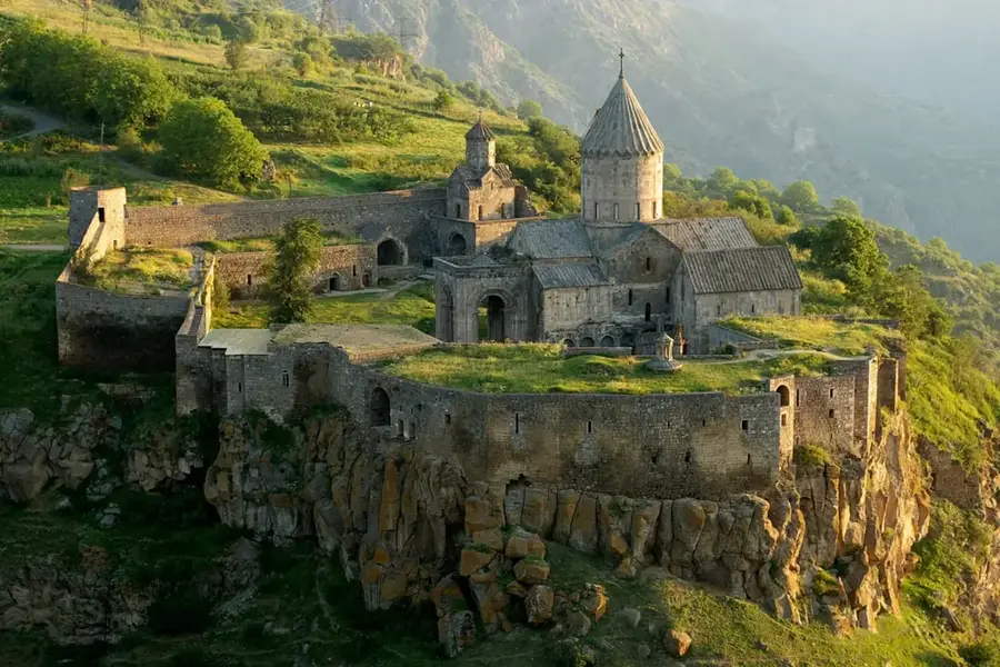
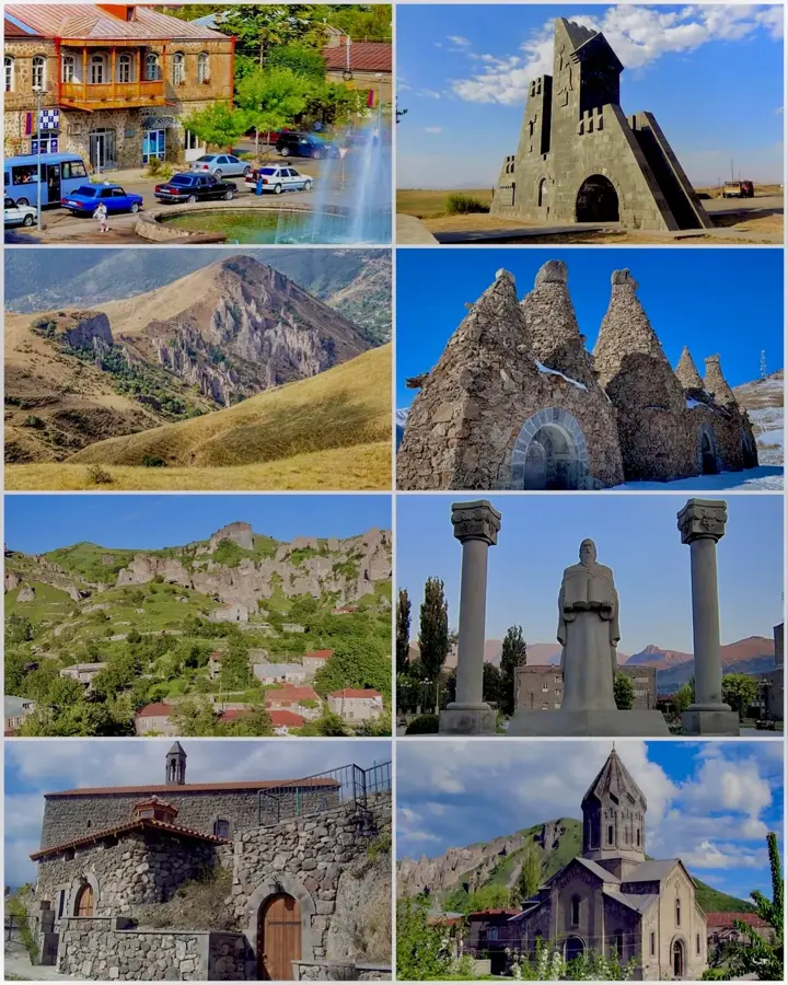
- Top sights: Ughtasar · Qızıltəpə · Kantyeri
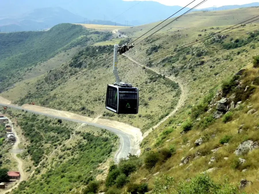
- Nearby: Khankendi (74 km)
Best time to visit & climate
The most pleasant time to visit is Jun–Aug.
| Jan | Feb | Mar | Apr | May | Jun | Jul | Aug | Sep | Oct | Nov | Dec | |
|---|---|---|---|---|---|---|---|---|---|---|---|---|
| Avg °C | -4 | -2 | 2 | 6 | 12 | 16 | 18 | 18 | 15 | 9 | 2 | -2 |
| Rain mm | 15 | 17 | 31 | 37 | 46 | 28 | 13 | 11 | 17 | 29 | 21 | 16 |
📋 Practical info
Geography
Facts
- The average altitude of the plateau ranges between 2,000 and 2,500 meters.
- The highest peak on the plateau is Delidag, reaching 3,616 meters.
- The plateau is predominantly composed of rocks of volcanic origin.
- Major rivers like the Tartar and Hakari originate in this mountainous region.
- The region is famous for its mineral-rich thermal springs such as Istisu.
- The upland has served as a vital summer grazing area for centuries.
Explore nearby
Notable places around
Route planner — Car & Motorhome
Where do you start? We build the route here, with stops and country notes along the way.
© OpenStreetMap contributors · OpenRouteService
Sights in the town Karabakh Plateau (3)
Sights nearby
Frequently asked questions
What characterizes the Karabakh Plateau?
Is the region easy to travel through?
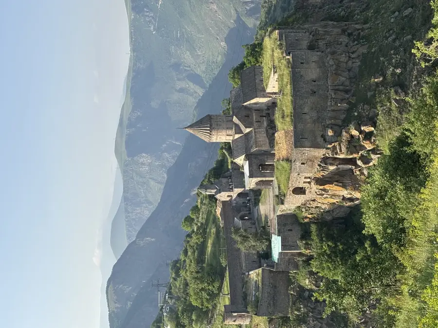
Are there historical sites?
How is the weather there?
Are there nature parks there?
Karabakh Plateau: where is it located?
Karabakh Plateau: what is there to see?
Karabakh Plateau: when is the best time to visit?
Karabakh Plateau: why is it worth visiting?

Nearby cities
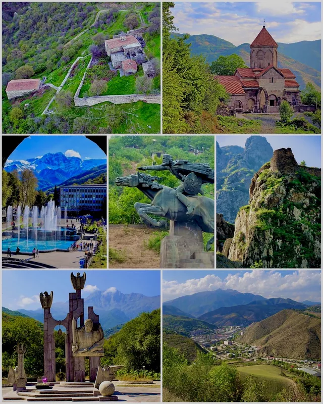
History & landmarks

Nature
More places