Plizio Visual Lab
Vorotan River
Weather…
Water temperature…
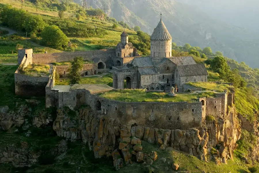
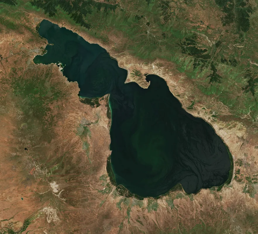
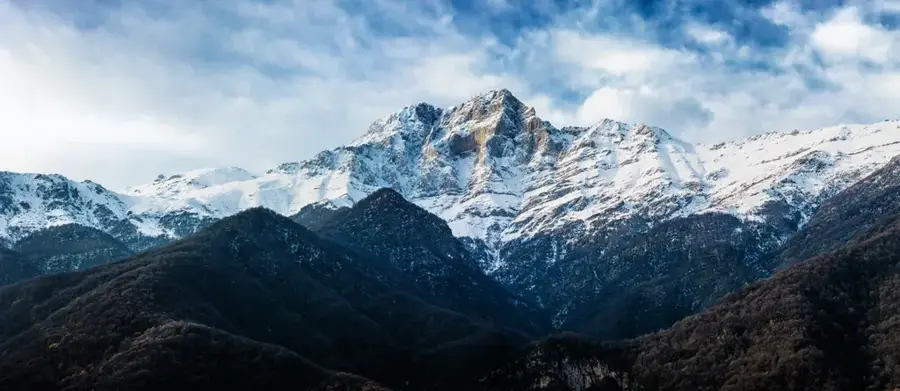
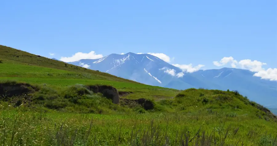
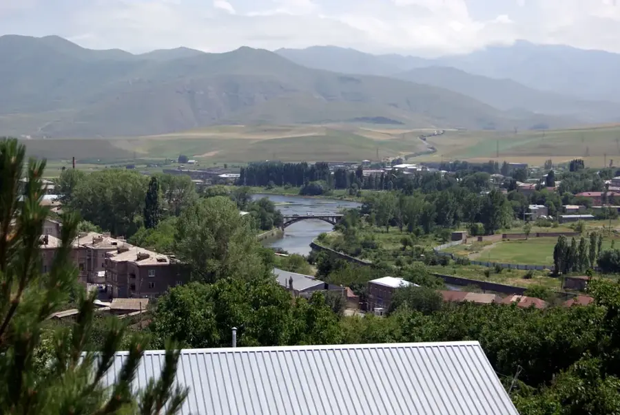
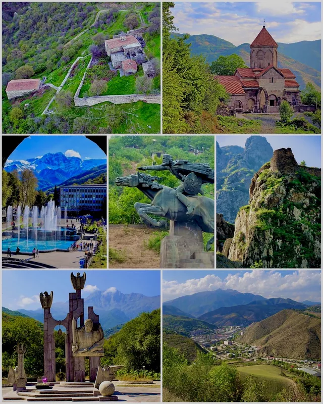
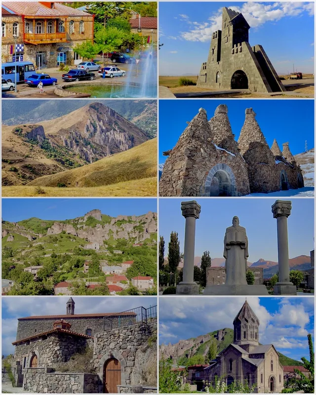
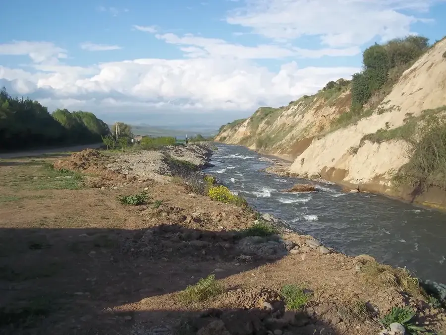
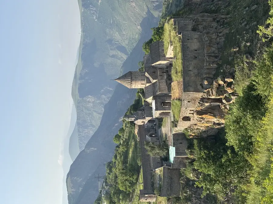
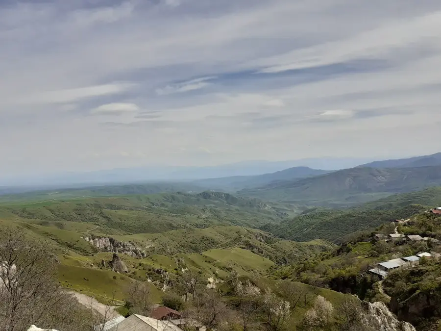
The Vorotan River is a major waterway in southern Armenia, flowing through the Syunik Province with a total length of approximately 178 kilometers. Originating in the northeastern part of the Syunik plateau, the river has carved deep, dramatic canyons into the volcanic landscape, reaching depths of up to 800 meters. The Vorotan Canyon is home to significant cultural landmarks, most notably the 9th-century Tatev Monastery, which sits perched on the edge of the gorge. Economically, the river is of paramount importance due to the Vorotan Cascade, a series of three hydroelectric power plants that provide a substantial portion of Armenia's electricity. Along its course, the river feeds the Spandaryan Reservoir, the second largest in the country, supporting regional agriculture. The surrounding environment is characterized by unique basalt formations and numerous mineral springs, reflecting the region's rich geological history.
- Location: Armenia
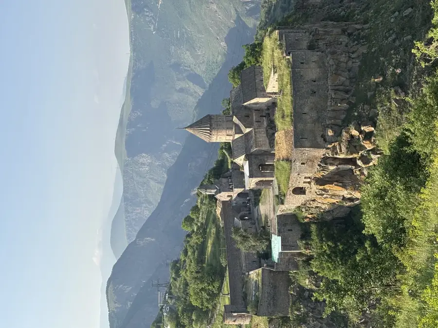
- Top sights: Old Bardzravan · Chaghat · Bgheno-Noravank Monastery
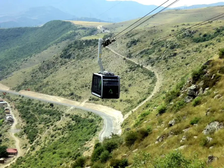
- Nearby: Tatev (Halidzor) (4 km)
Best time to visit & climate
The most pleasant time to visit is Jun–Aug.
| Jan | Feb | Mar | Apr | May | Jun | Jul | Aug | Sep | Oct | Nov | Dec | |
|---|---|---|---|---|---|---|---|---|---|---|---|---|
| Avg °C | -4 | -2 | 2 | 6 | 12 | 16 | 18 | 18 | 15 | 9 | 2 | -2 |
| Rain mm | 15 | 17 | 31 | 37 | 46 | 28 | 13 | 11 | 17 | 29 | 21 | 16 |
📋 Practical info
Geography
Facts
- The river spans a total length of 178 kilometers
- Vorotan Canyon reaches a maximum depth of 800 meters
- The Vorotan Cascade comprises three hydroelectric plants
- The Shaki Waterfall is located on a tributary of the Vorotan
- Spandaryan Reservoir is the largest storage on the river
- The river's path is marked by ancient basalt columns
Explore nearby
Notable places around
Route planner — Car & Motorhome
Where do you start? We build the route here, with stops and country notes along the way.
© OpenStreetMap contributors · OpenRouteService
Sights in the town Vorotan River (11)
Sights nearby
Frequently asked questions
What is the Vorotan known for?
Are there good viewpoints?
Is the area suitable for hikers?
When is the best time to go there?
What is nearby?
Vorotan River: where is it located?
Vorotan River: what is there to see?
Vorotan River: when is the best time to visit?
Vorotan River: why is it worth visiting?

Nearby cities
History & landmarks

More places