Plizio Visual Lab
Zangezur Mountains
Weather…
Water temperature…
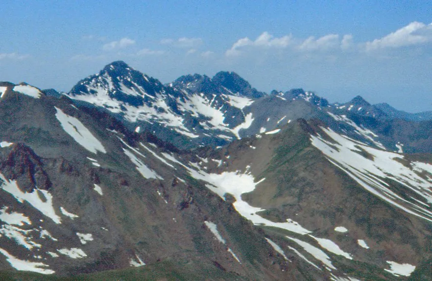
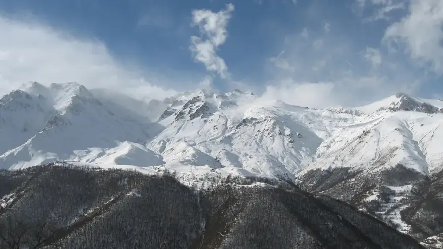
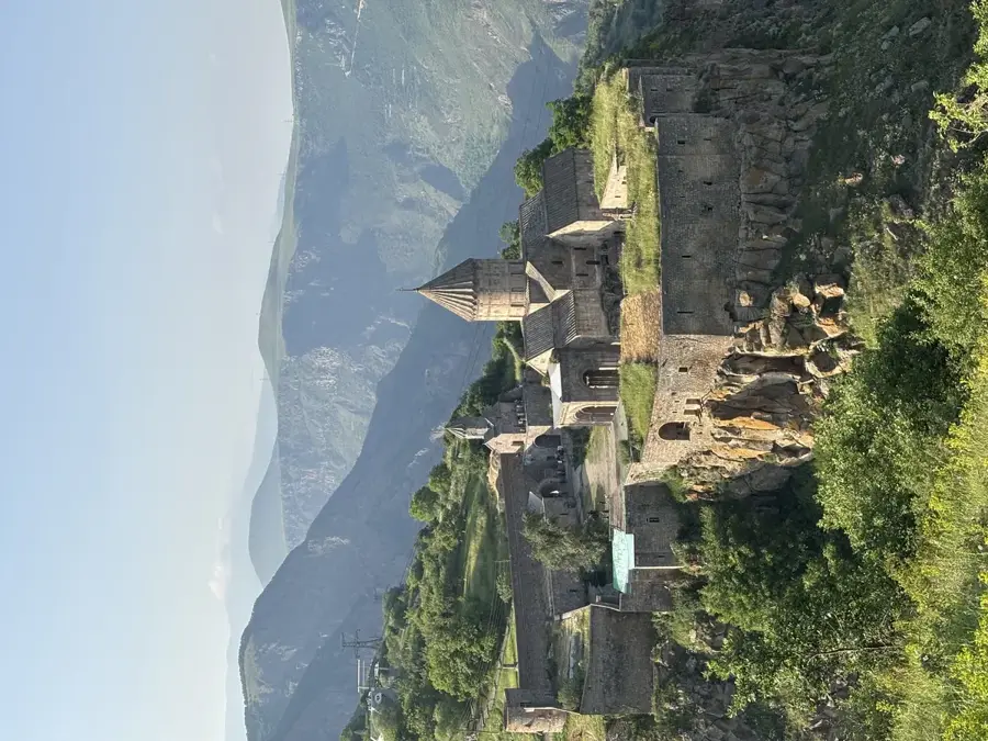
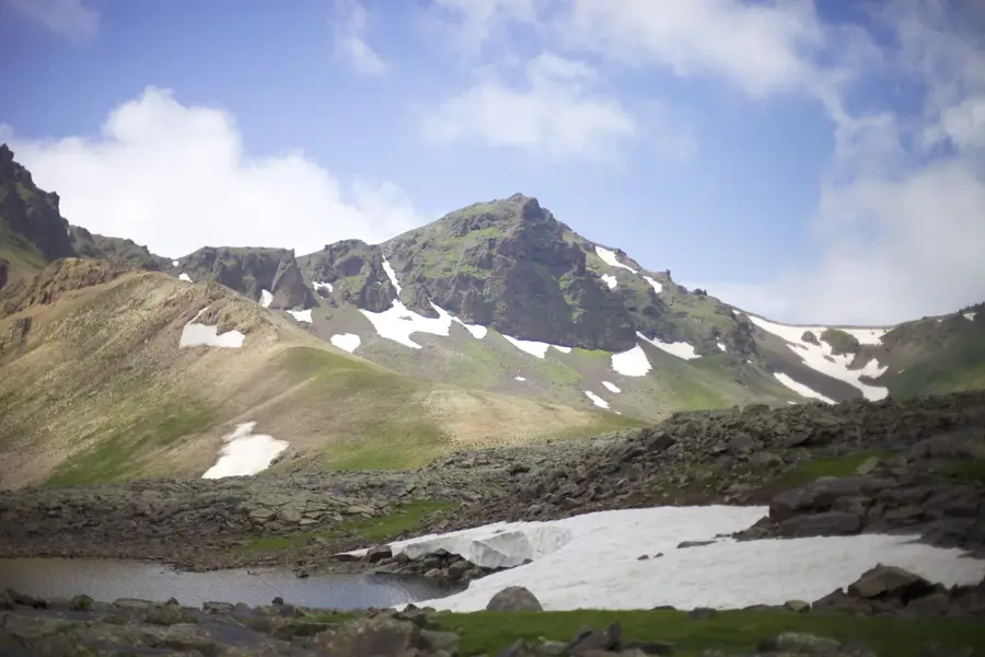
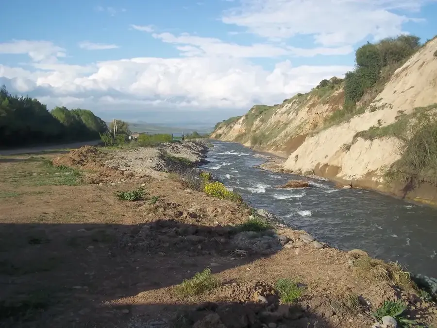
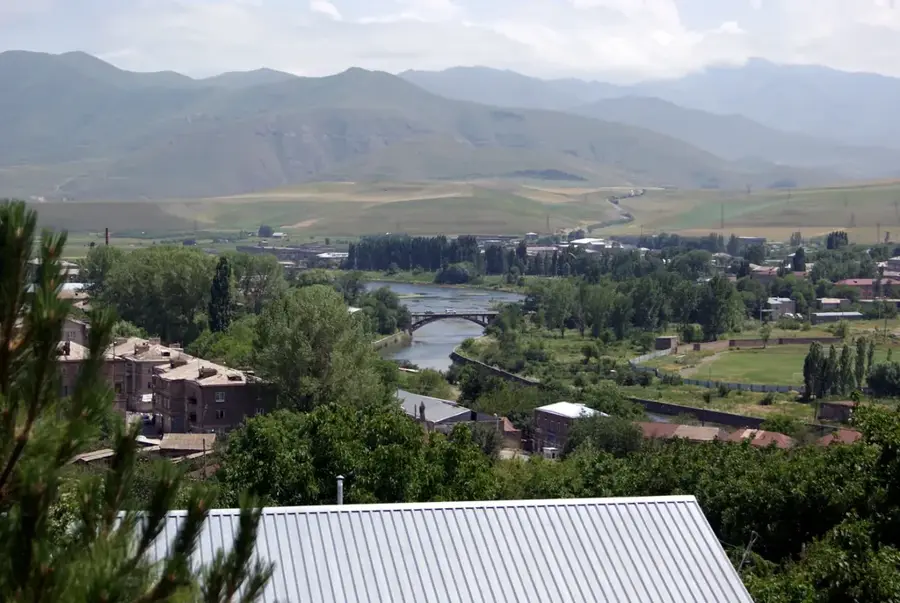
The Zangezur Mountains are a prominent range in southern Armenia, stretching for approximately 130 kilometers and forming a natural border with the Nakhchivan Autonomous Republic. With Mount Kaputjugh as its highest peak (3905 meters), it ranks among the most significant sections of the Armenian Highland. Geologically, the range is a fold-mountain system rich in metallic ores, specifically copper and molybdenum, which has spurred the development of major mining centers like Kajaran. The slopes vary from lush forests in the northern parts to arid, rocky terrain in the south. The range is characterized by deep canyons and high mountain passes, such as the Meghri Pass, which serves as a critical transport link to Iran. It is a biodiversity hotspot, home to the endangered Caucasian leopard. Historically, the Zangezur range has been a strategic barrier, dotted with medieval monasteries and fortresses that guarded the routes through the Southern Caucasus.
- Location: Armenia
- Top sights: Gülümgülüm · Ələngəzdağı
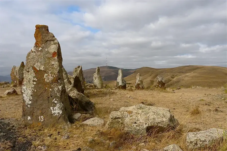
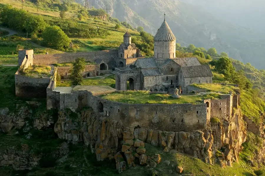
- Nearby: Tatev (Halidzor) (37 km)
Best time to visit & climate
The most pleasant time to visit is Jun–Aug.
| Jan | Feb | Mar | Apr | May | Jun | Jul | Aug | Sep | Oct | Nov | Dec | |
|---|---|---|---|---|---|---|---|---|---|---|---|---|
| Avg °C | -4 | -2 | 3 | 7 | 13 | 17 | 20 | 19 | 16 | 10 | 3 | -2 |
| Rain mm | 17 | 18 | 31 | 41 | 42 | 20 | 11 | 7 | 14 | 26 | 23 | 19 |
📋 Practical info
Geography
Facts
- Extends for a total length of about 130 km.
- Mount Kaputjugh is the highest peak (3905 m).
- Forms the international border with Nakhchivan.
- Major source of copper and molybdenum ores.
- Critical habitat for the endangered Caucasian leopard.
- Contains the strategic Meghri Pass connecting to Iran.
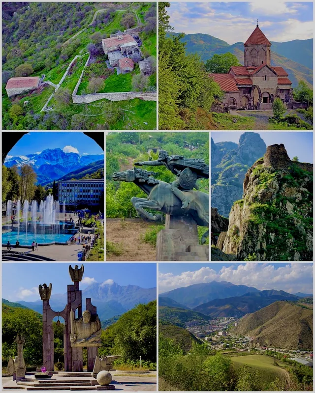
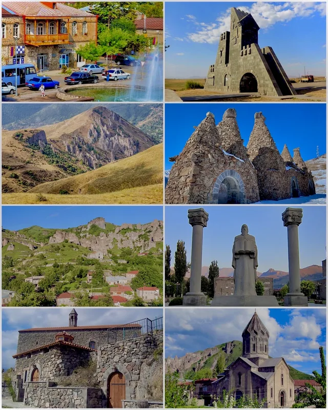
Explore nearby
Notable places around
Route planner — Car & Motorhome
Where do you start? We build the route here, with stops and country notes along the way.
© OpenStreetMap contributors · OpenRouteService
Sights in the town Zangezur Mountains (2)
Sights nearby
Frequently asked questions
What makes the Zangezur Mountains special?
How difficult are hikes there?
When is the best time to visit the region?
Can you hike there without a guide?
What should you expect on the way?
Zangezur Mountains: where is it located?
Zangezur Mountains: what is there to see?
Zangezur Mountains: when is the best time to visit?
Zangezur Mountains: why is it worth visiting?

Nearby cities
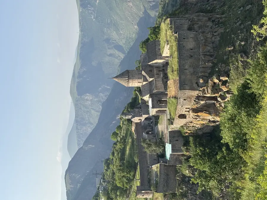
History & landmarks
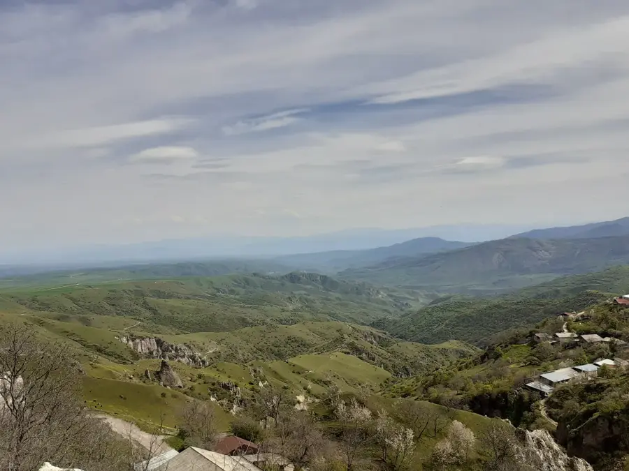

Nature
More places