Plizio Visual Lab
Lake Hallstatt
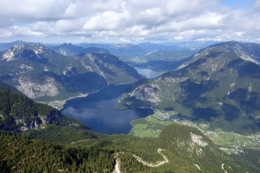
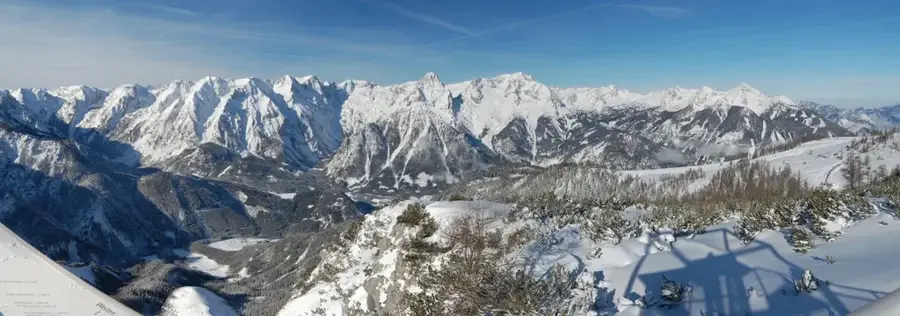
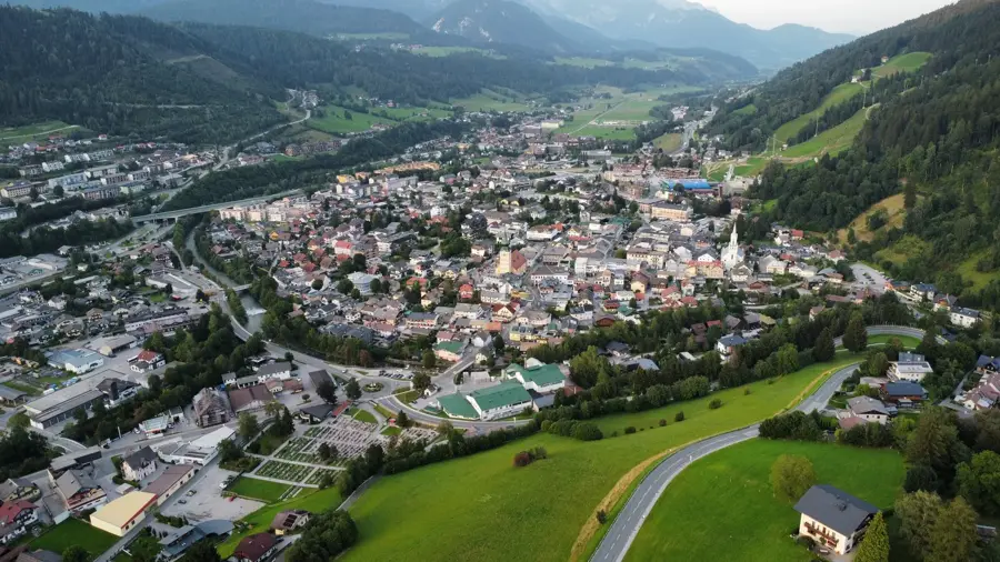
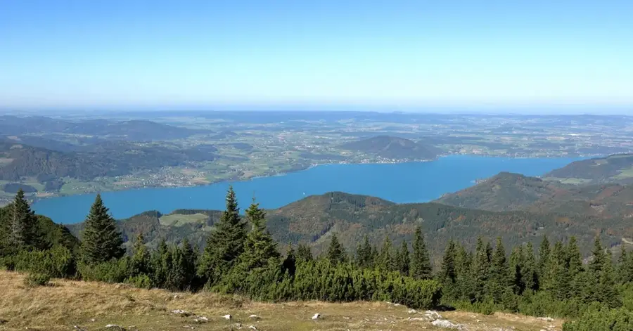
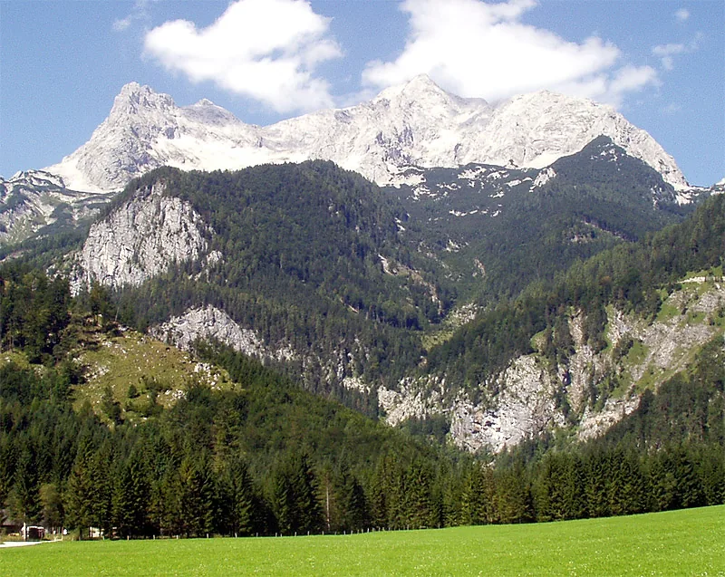
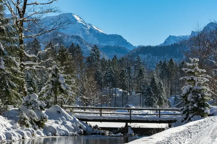
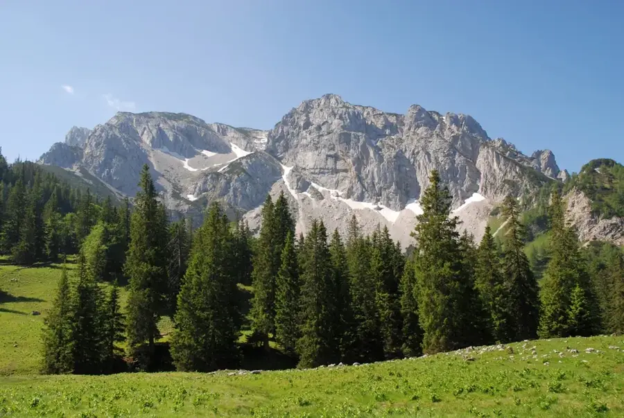
Lake Hallstatt is set amidst the imposing mountain world of the Dachstein massif in Upper Austria's Salzkammergut region. With a surface area of approximately 8.55 square kilometers and a maximum depth of 125 meters, it is one of the region's most significant lakes. On its steep western shore lies the world-famous UNESCO Heritage village of Hallstatt, which gained global renown through its prehistoric salt discoveries. For millennia, the lake served as a crucial transport route for the 'white gold' extracted from the Hallstatt salt mine. Geologically, the lake is a typical glacial trough lake formed during the last Ice Age. Its clear, cool waters provide a habitat for numerous fish species, such as whitefish and lake trout. Particularly characteristic is the navigation on the lake, with traditional wooden boats called 'Zillen' and the ferry connection between the train station and the village of Hallstatt defining the scenery. Together with the Dachstein massif, the lake has been a UNESCO World Heritage site since 1997.
- Location: Upper Austria, Austria
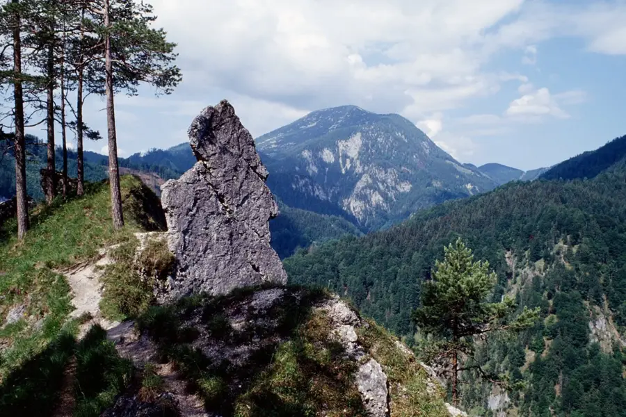
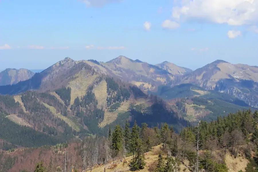
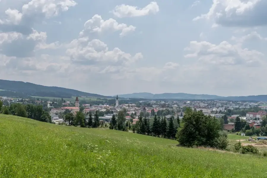
- Top sights: Sechserkogel · Panoramablick auf Hallstatt · Goiserer Aussicht
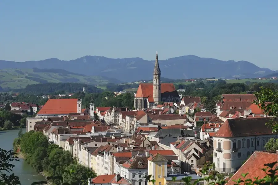
- Nearby: Bad Aussee (10 km)
Best time to visit & climate
The most pleasant time to visit is Jun–Aug.
| Jan | Feb | Mar | Apr | May | Jun | Jul | Aug | Sep | Oct | Nov | Dec | |
|---|---|---|---|---|---|---|---|---|---|---|---|---|
| Avg °C | -5 | -5 | -1 | 4 | 9 | 13 | 15 | 14 | 10 | 6 | 1 | -4 |
| Rain mm | 82 | 67 | 81 | 75 | 140 | 167 | 177 | 175 | 132 | 96 | 73 | 76 |
📋 Practical info
Geography
Facts
- The surface area of Lake Hallstatt is 8.55 square kilometers.
- The deepest point of the lake is 125 meters.
- The lake is situated at an elevation of 508 meters above sea level.
- Since 1997, the lake has been part of a UNESCO World Heritage site.
- The Traun is the most important inlet and outlet of the lake.
- The water temperature rarely rises above 20 degrees Celsius in summer.
Explore nearby
Notable places around
Route planner — Car & Motorhome
Where do you start? We build the route here, with stops and country notes along the way.
© OpenStreetMap contributors · OpenRouteService
Sights in the town Lake Hallstatt (10)
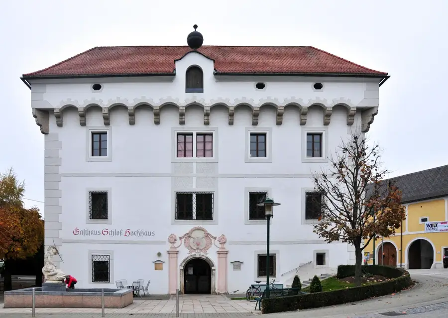
Schloss Grub🏰 castle
Palace in Upper Austria, municipality of Obertraun.
Hallstätter Marienaltar
Pentaptych, a five-panel winged altarpiece.
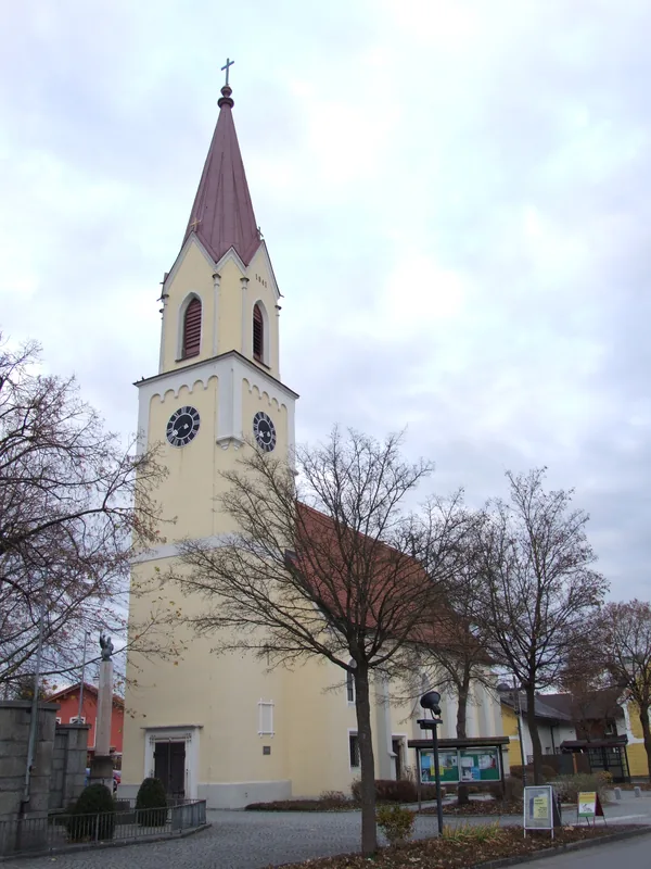
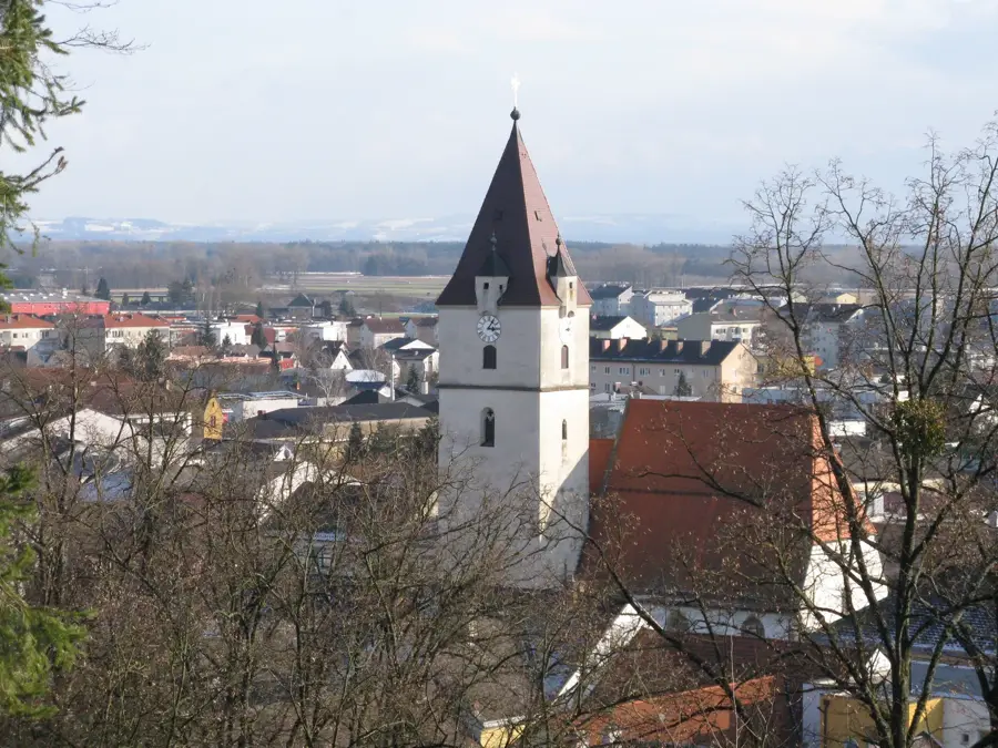
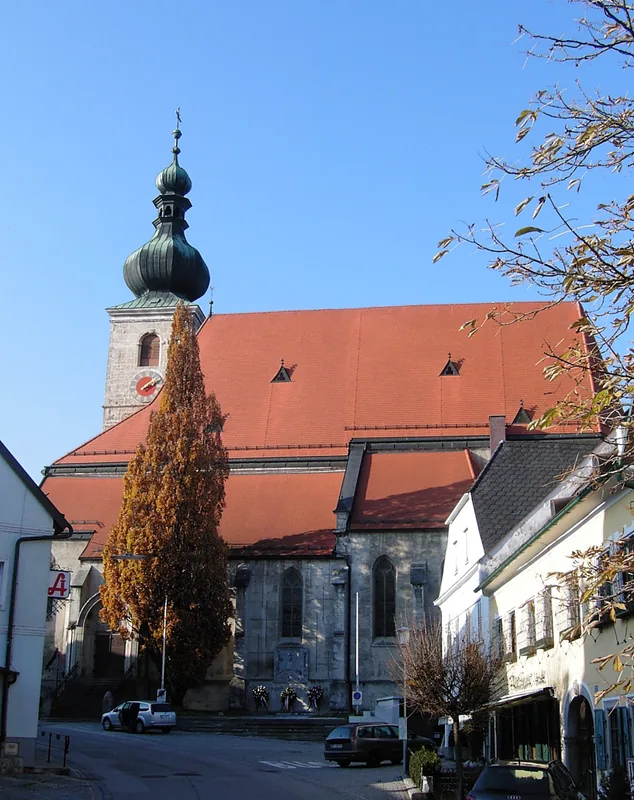
Pfarrkirche Maria am Berg
Church building in Upper Austria, Austria.
Schneidkogel
Mountain in the Dachstein range, Upper Austria.
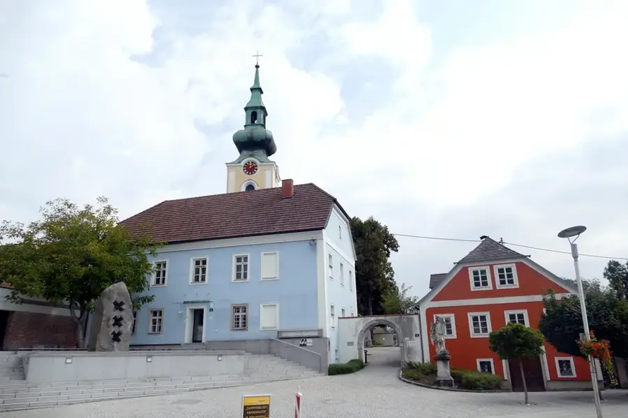
Evangelische Kirche Hallstatt
Lutheran church building in Hallstatt, Austria.
Dreifaltikgeitssäule
Listed monument in Hallstatt (ID 20715).
Sights nearby
Frequently asked questions
How deep is Lake Hallstatt?
Can you cross the lake by boat?
Is diving allowed in Lake Hallstatt?
Is there a hiking trail around the lake?
How warm does the water get in summer?
Lake Hallstatt: where is it located?
Lake Hallstatt: what is there to see?
Lake Hallstatt: when is the best time to visit?
Lake Hallstatt: why is it worth visiting?

Nearby cities
Nature
More places