Plizio Visual Lab
Großer Priel
Weather…
Water temperature…
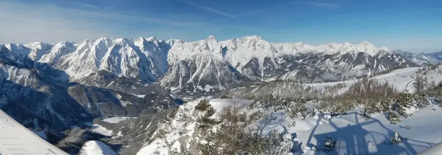
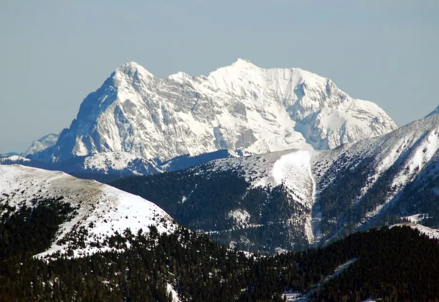
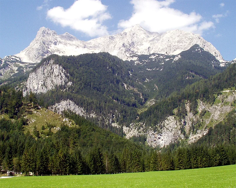
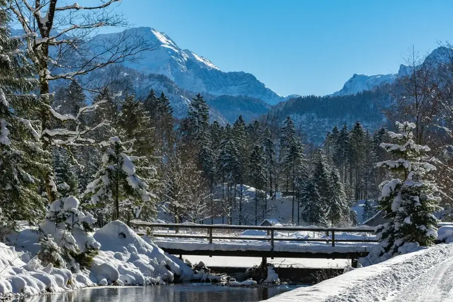
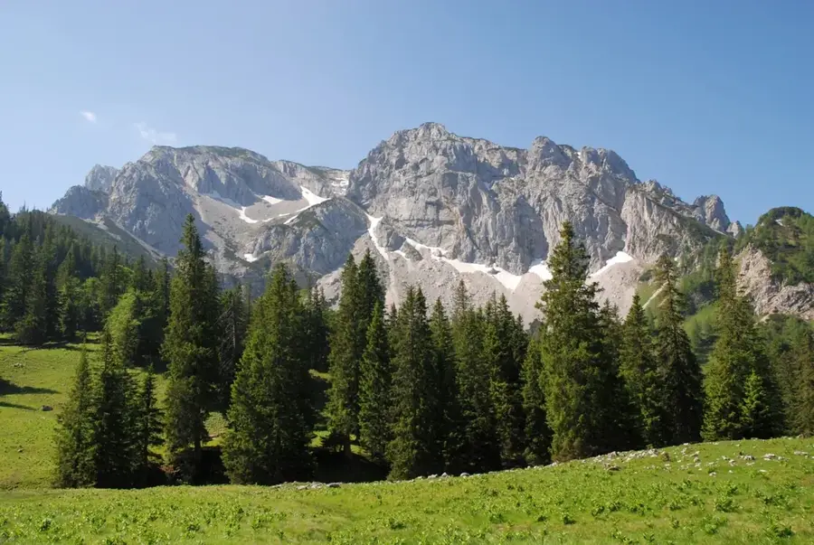
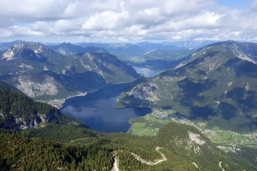
At 2,515 meters, Großer Priel is the highest peak in the Totes Gebirge range within Upper Austria. The mountain is predominantly composed of Dachstein limestone and serves as a prominent landmark for the Pyhrn-Priel region. While the peak was officially surveyed as early as 1817, mountaineering in the area gained popularity following the establishment of the Prielschutzhaus mountain hut in 1884. A defining feature of the summit is its eight-meter-tall red steel cross, which was replaced in 2009 and is visible from a great distance. Geologically, it belongs to the Northern Limestone Alps, characterized by extensive karst features including caves and sinkholes. Climbing to the summit from the valley floor involves an elevation gain of over 1,900 meters, requiring high physical fitness and alpine experience. During the winter months, the mountain becomes a challenging objective for ski touring, depending on snow stability and avalanche risk.
- Location: Upper Austria, Austria
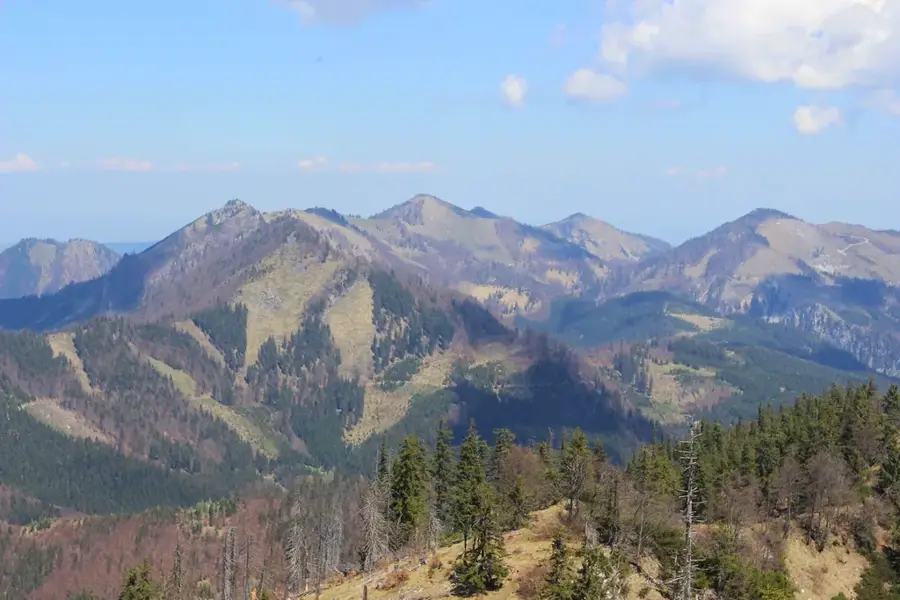
- Top sights: Hirscheck · Zillkogel · Bärenkopf
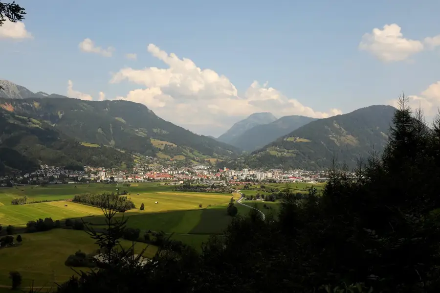
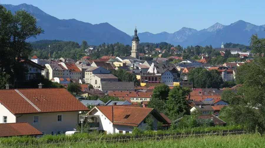
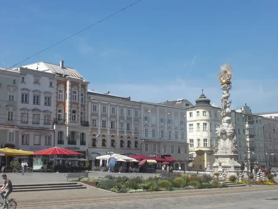
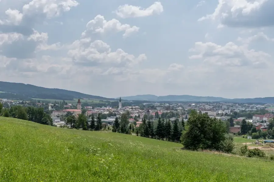
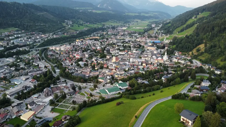
- Nearby: Hinterstoder (4 km)
Best time to visit & climate
The most pleasant time to visit is Jun–Aug.
| Jan | Feb | Mar | Apr | May | Jun | Jul | Aug | Sep | Oct | Nov | Dec | |
|---|---|---|---|---|---|---|---|---|---|---|---|---|
| Avg °C | -5 | -5 | -1 | 4 | 9 | 13 | 15 | 14 | 10 | 6 | 1 | -4 |
| Rain mm | 82 | 67 | 81 | 75 | 140 | 167 | 177 | 175 | 132 | 96 | 73 | 76 |
📋 Practical info
Geography
Facts
- Großer Priel stands at 2,515 m as the highest peak of the Totes Gebirge.
- The iconic red summit cross was replaced with a new version in 2009.
- The ascent from Hinterstoder covers a vertical gain of over 1,900 m.
- The first official survey of the mountain was conducted in 1817.
- The Prielschutzhaus mountain hut is located at an altitude of 1,420 m.
- The geology is primarily composed of ancient maritime Dachstein limestone.
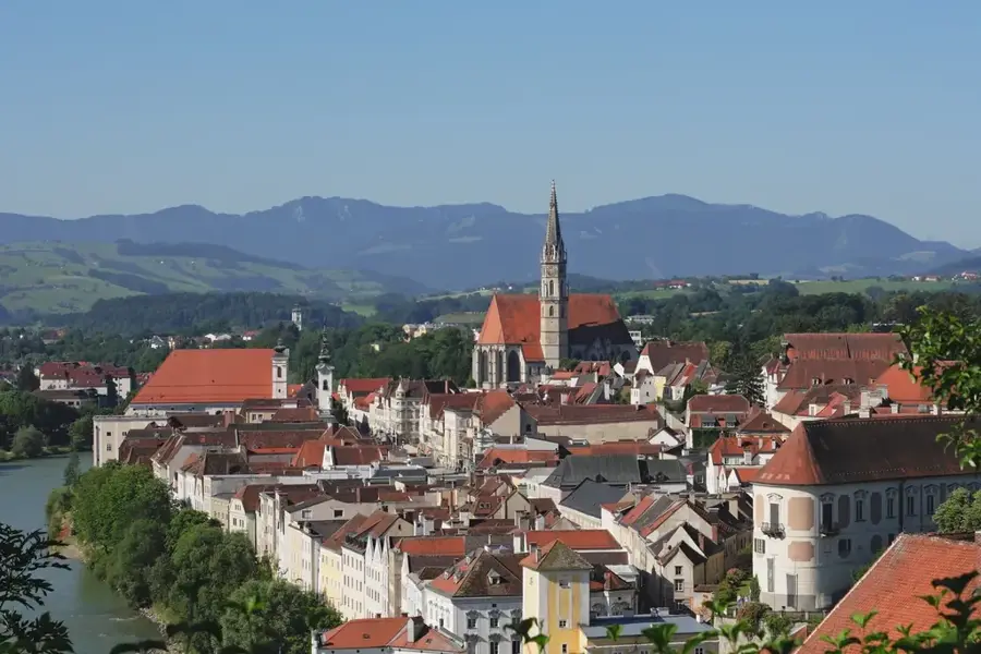
Explore nearby
Notable places around
Route planner — Car & Motorhome
Where do you start? We build the route here, with stops and country notes along the way.
© OpenStreetMap contributors · OpenRouteService
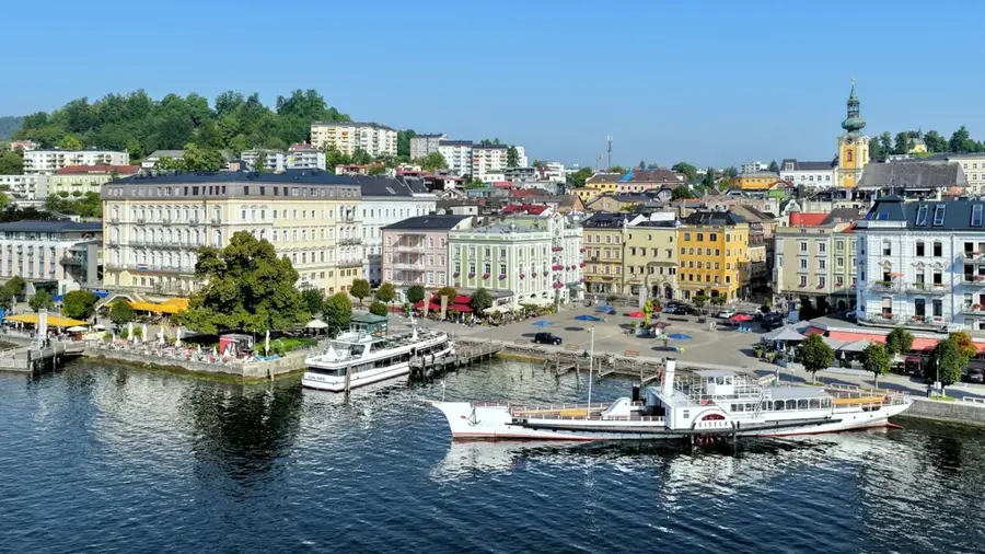
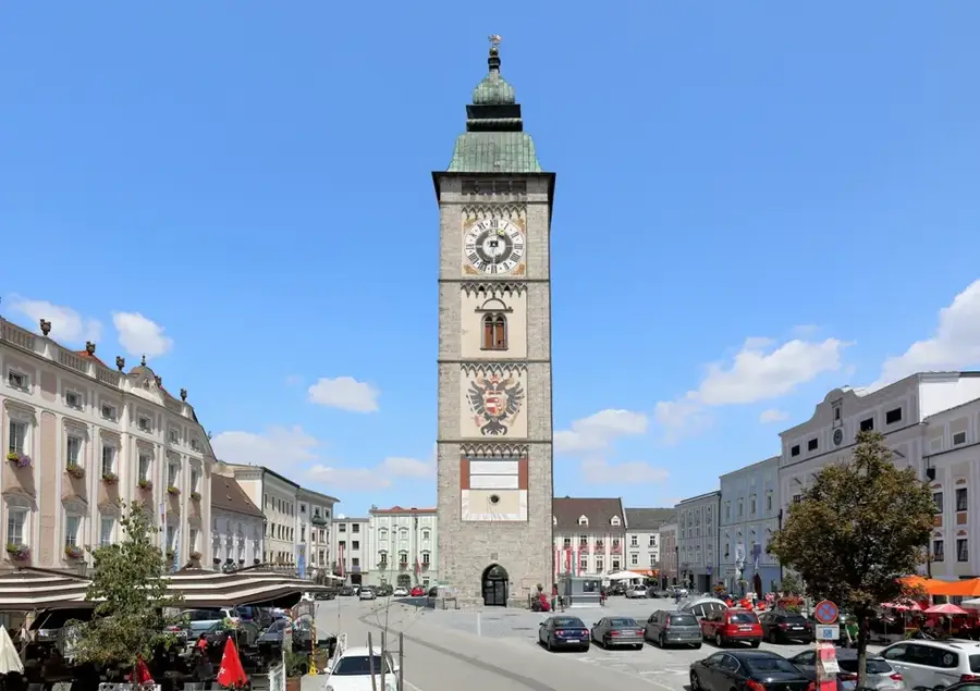
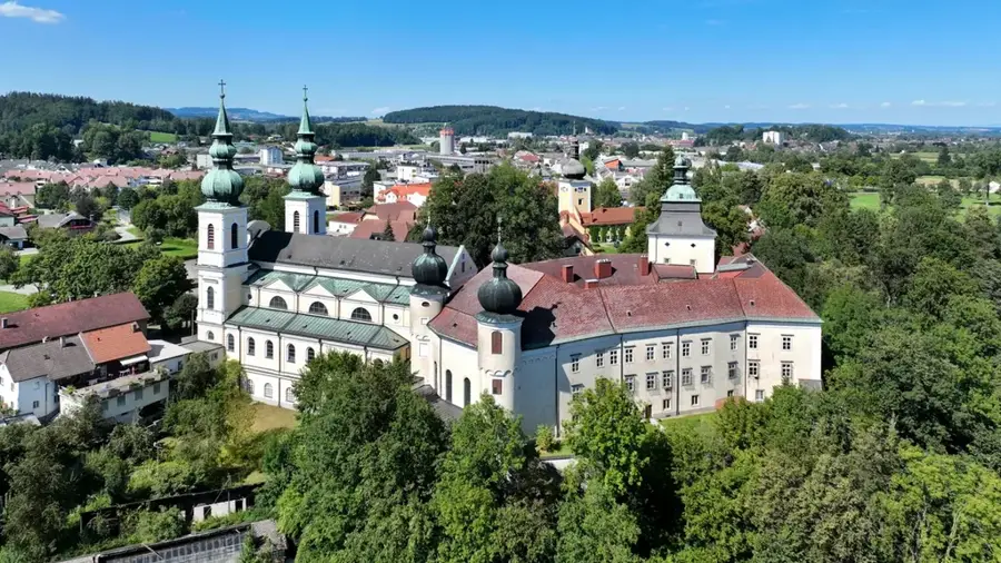
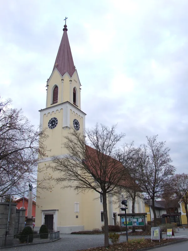
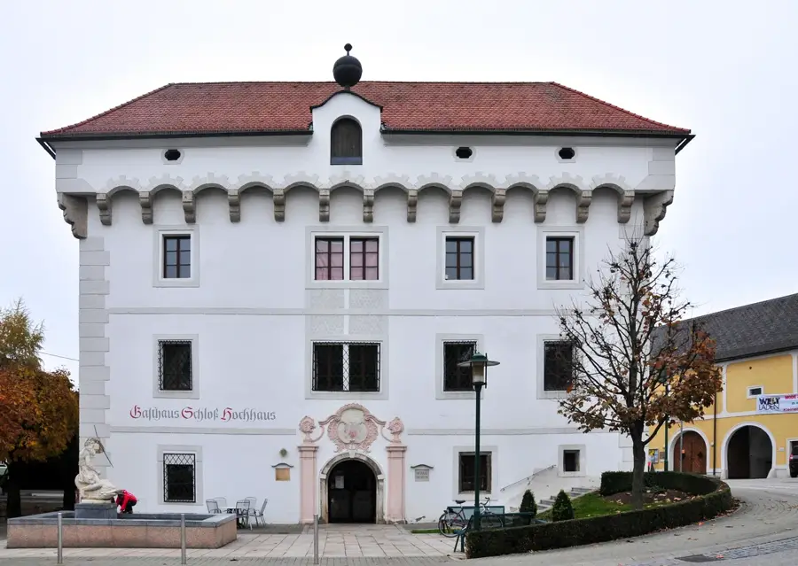
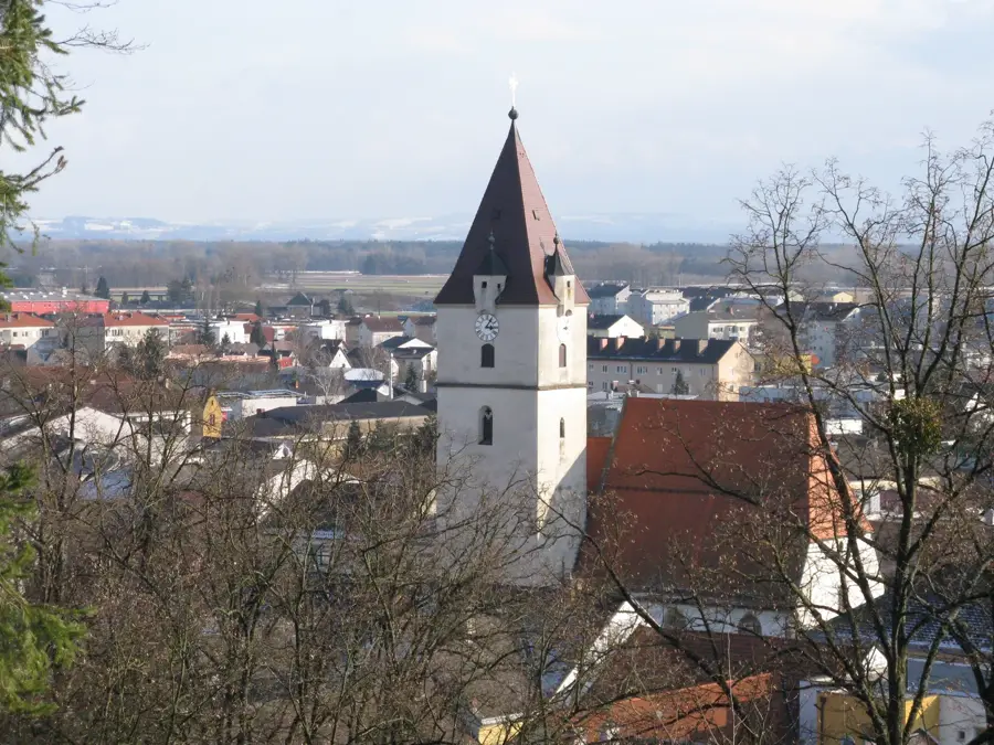
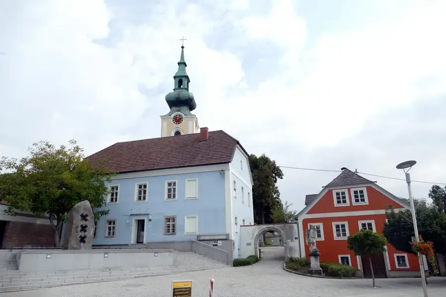
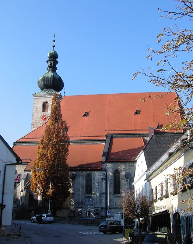
Sights in the town Großer Priel (3)
Sights nearby
Frequently asked questions
What is the landmark at the summit?
How long does an average ascent take?
Is the trail suitable for children?
When should you start the tour?
What is the Bert-Rinesch-Steig?
Großer Priel: where is it located?
Großer Priel: what is there to see?
Großer Priel: when is the best time to visit?
Großer Priel: why is it worth visiting?

Nearby cities
Nature
More places