Plizio Visual Lab
Totes Gebirge
Weather…
Water temperature…
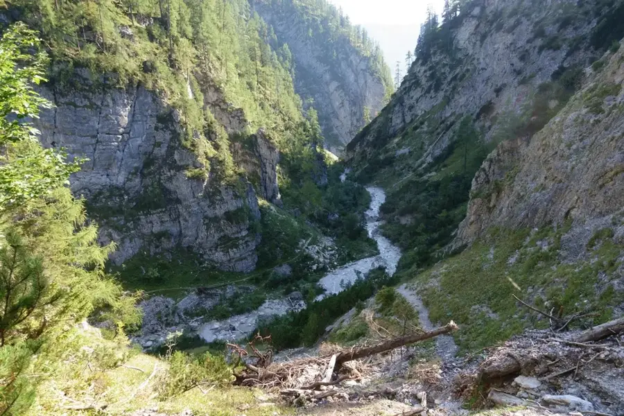
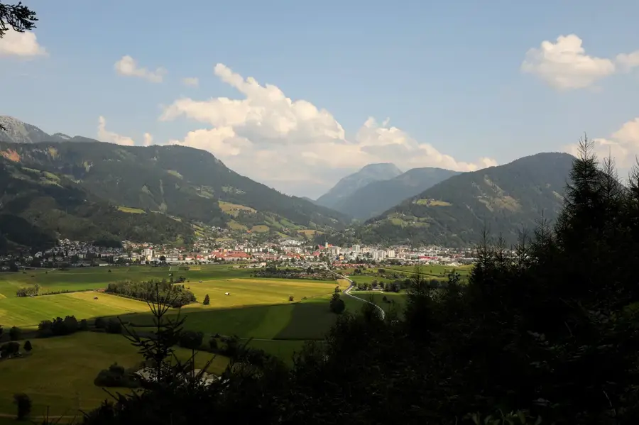
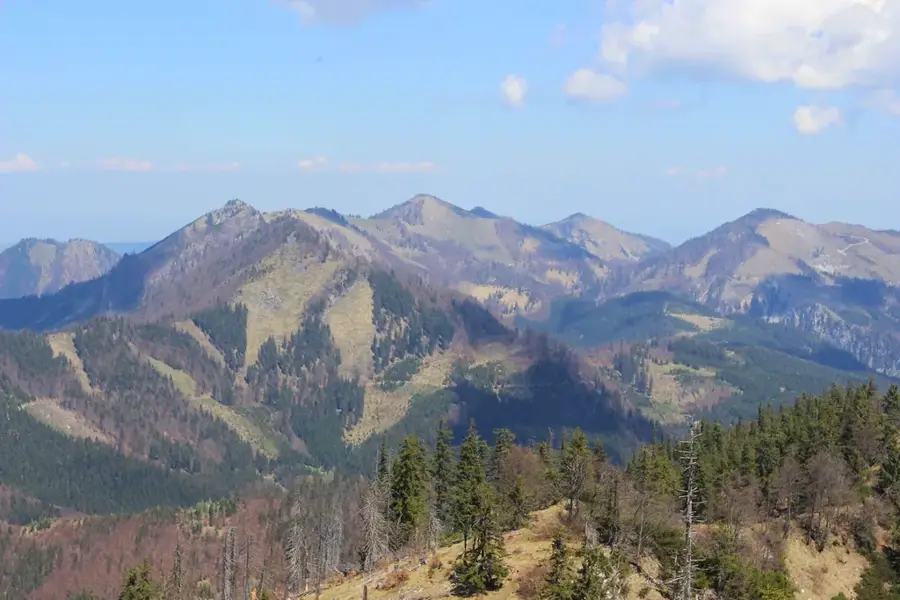
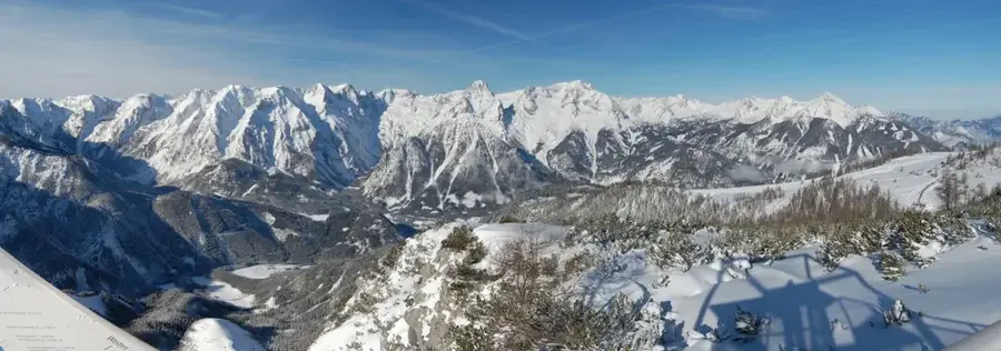
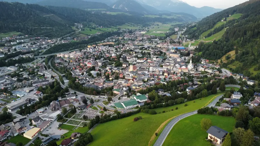
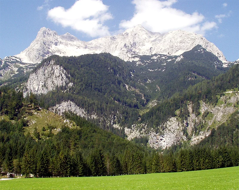
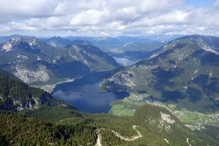
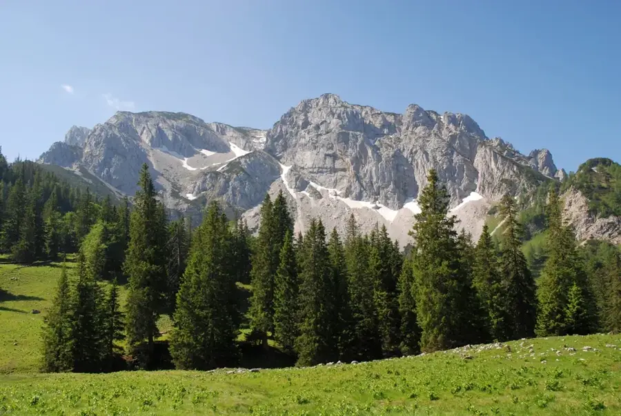
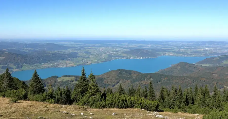
The Totes Gebirge (Dead Mountains) is an extensive karst plateau in the Northern Limestone Alps and covers parts of Styria and Upper Austria. With an area of around 1130 square kilometers, it is the largest karst massif in Central Europe and impresses with its barren, almost moon-like landscape on the high plateaus. The name derives from the relative lack of water and sparse vegetation in the central areas, although the peripheral zones with lakes like Grundlsee and Altausseer See are extremely water-rich. The highest peak is the Großer Priel at 2515 meters, a prominent lookout point offering wide views as far as the Bohemian Forest and the Hohe Tauern. Geologically, Dachstein limestone dominates, which through karstification has formed deep cave systems like the Hirlatzhöhle, one of the longest cave systems in Austria. Despite its barren appearance, the mountain range is home to specialized animal species such as the white-winged snowfinch and the alpine chough. Historically, the region was a hideout for poachers and resistance fighters during World War II. For mountaineers, the Totes Gebirge poses a special challenge due to navigation difficulties in fog and its sheer vastness. Tourism use includes hiking, climbing, and demanding ski tours in winter.
- Location: Upper Austria, Austria
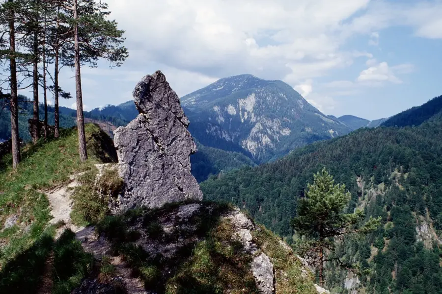
- Top sights: Rote Kögel · Plankermira · Feuertalberg
- Nearby: Tauplitz (8 km)
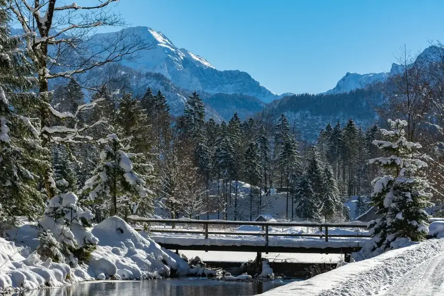
Best time to visit & climate
The most pleasant time to visit is Jun–Aug.
| Jan | Feb | Mar | Apr | May | Jun | Jul | Aug | Sep | Oct | Nov | Dec | |
|---|---|---|---|---|---|---|---|---|---|---|---|---|
| Avg °C | -5 | -5 | -1 | 4 | 9 | 13 | 15 | 14 | 10 | 6 | 1 | -4 |
| Rain mm | 82 | 67 | 81 | 75 | 140 | 167 | 177 | 175 | 132 | 96 | 73 | 76 |
📋 Practical info
Geography
Facts
- The Großer Priel is the highest point at 2515 meters.
- The plateau covers a total area of 1130 square kilometers.
- The Hirlatzhöhle cave system is over 113 kilometers long.
- It is the largest contiguous karst area in Central Europe.
- Grundlsee at the edge of the mountains is the largest lake in Styria.
- The Pühringerhütte is located centrally in the range at 1637 m.
Explore nearby
Notable places around
Route planner — Car & Motorhome
Where do you start? We build the route here, with stops and country notes along the way.
© OpenStreetMap contributors · OpenRouteService
Sights in the town Totes Gebirge (3)
Sights nearby
Frequently asked questions
Why is it called the 'Dead Mountains'?
What is the highest peak?
Is there drinking water on the plateau?
Are the hikes difficult?
When is the best time to visit?
Totes Gebirge: where is it located?
Totes Gebirge: what is there to see?
Totes Gebirge: when is the best time to visit?
Totes Gebirge: why is it worth visiting?

Nearby cities
Nature
More places