Plizio Visual Lab
Schladming Tauern
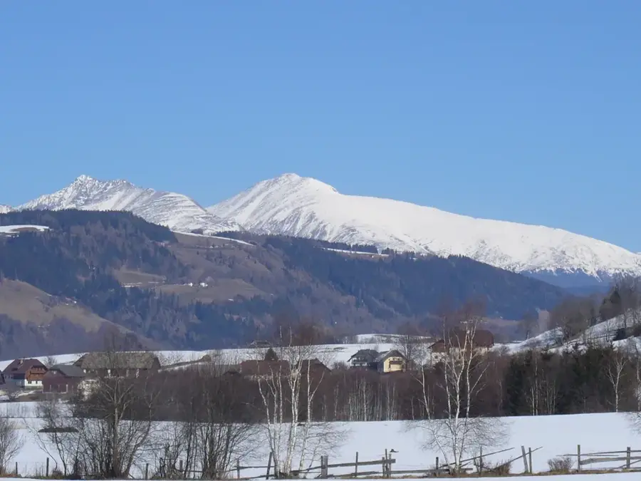
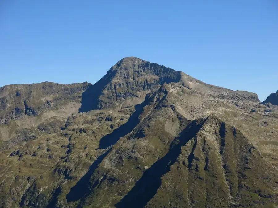
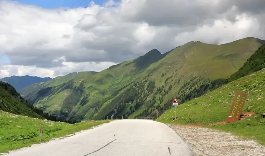
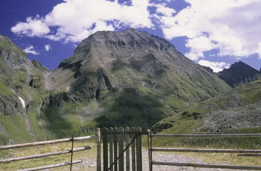
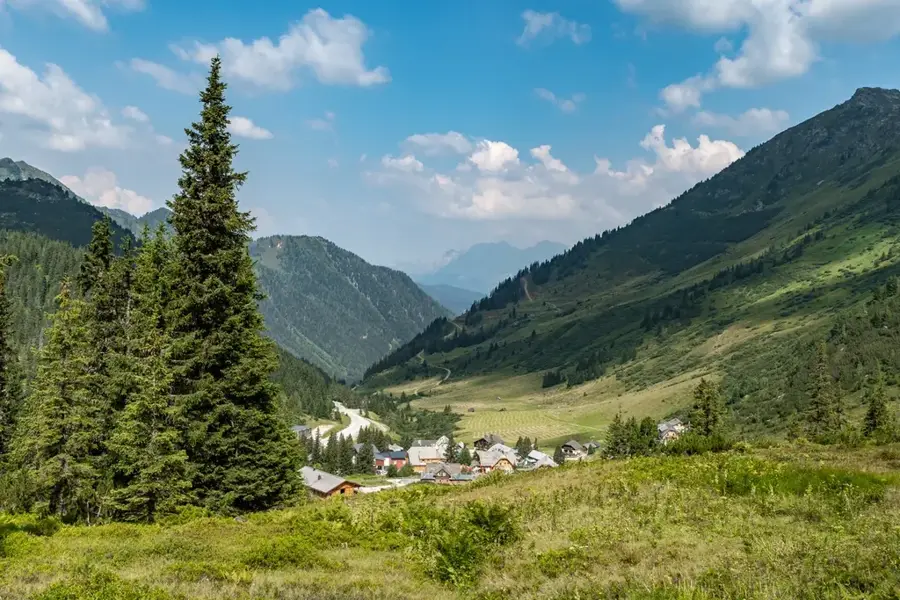
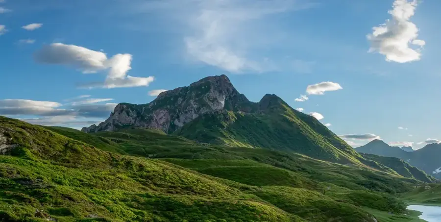
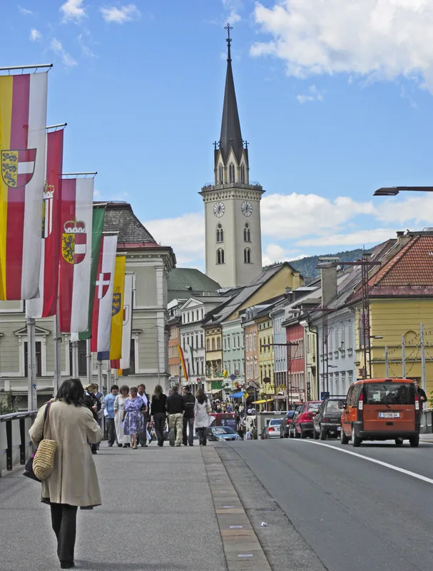
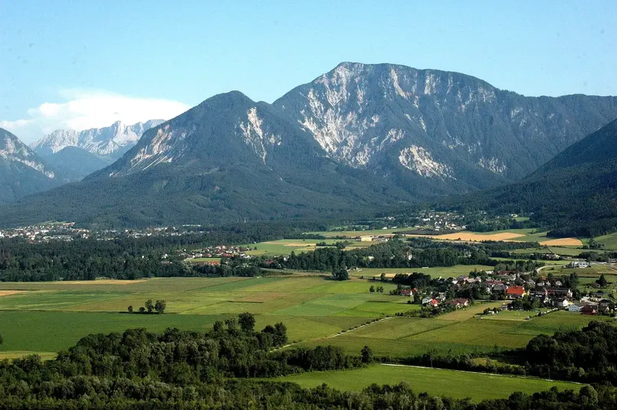
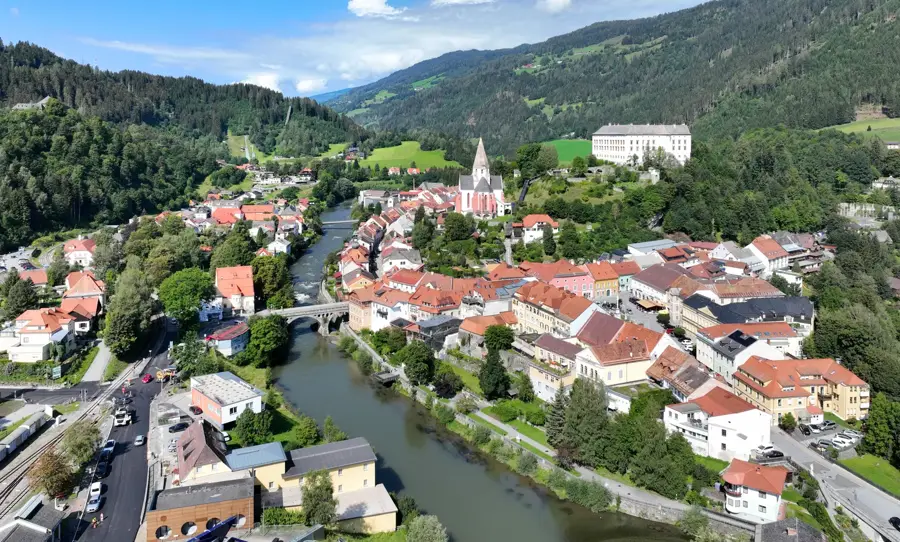
The Schladming Tauern are a sub-range of the Lower Tauern, stretching across the federal states of Salzburg and Styria. They are world-famous for their water-rich landscape, which includes over 300 mountain lakes and numerous waterfalls, such as the Klafferkessel natural phenomenon, a relic landscape from the Ice Age. The highest peak is the Große Wildstelle at 2,747 meters, while the Hochgolling on the border with Lungau marks the highest point of the entire Lower Tauern at 2,863 meters. Geologically, crystalline schists and gneisses dominate, which facilitated the formation of the many high-alpine lakes. Historically, the region was a center for silver and cobalt mining, with the town of Schladming gaining economic significance as early as the Middle Ages. Today, the mountains are an eldorado for hikers and mountaineers, while the northern slopes, including Planai and Hauser Kaibling, are among the most important ski areas in the Alps. The species-rich fauna includes ibex, chamois, and the rare alpine salamander.
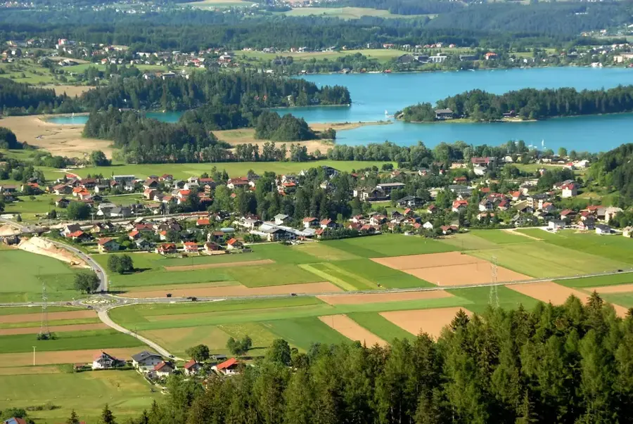
- Location: Carinthia, Austria
- Top sights: Naturschutzgebiet Klafferkessel · Waldhorn · Greifenberg
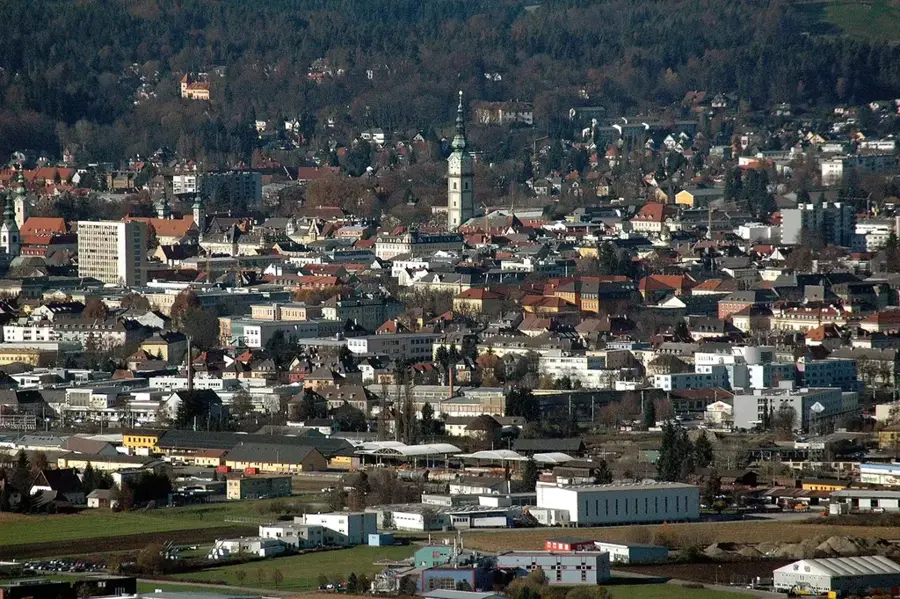
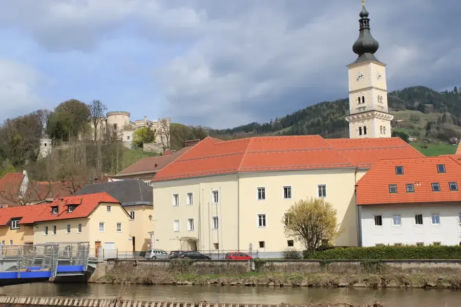
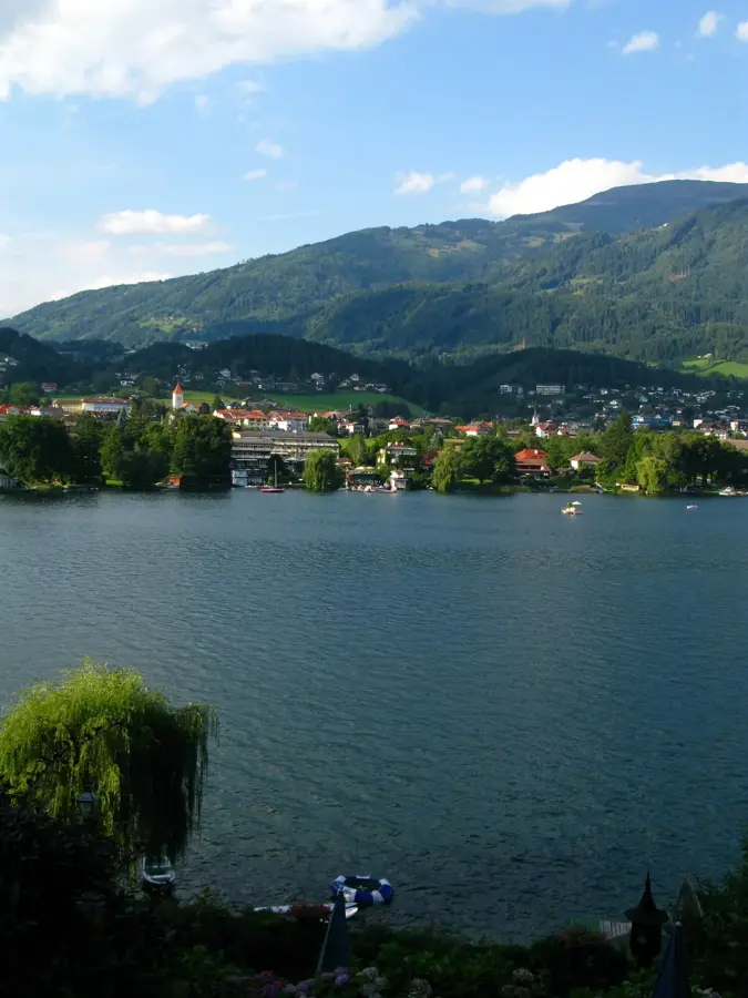
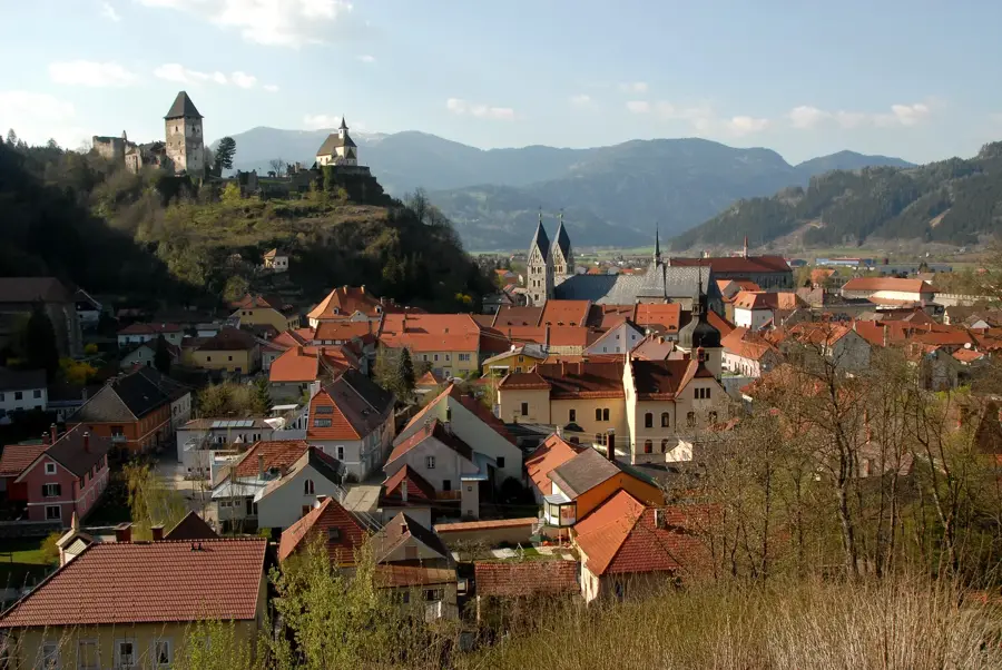
- Nearby: Schladming (13 km)
Best time to visit & climate
The most pleasant time to visit is Jun–Aug.
| Jan | Feb | Mar | Apr | May | Jun | Jul | Aug | Sep | Oct | Nov | Dec | |
|---|---|---|---|---|---|---|---|---|---|---|---|---|
| Avg °C | -5 | -5 | -1 | 4 | 9 | 13 | 15 | 14 | 10 | 6 | 1 | -4 |
| Rain mm | 82 | 67 | 81 | 75 | 140 | 167 | 177 | 175 | 132 | 96 | 73 | 76 |
📋 Practical info
Geography
Facts
- The region is home to over 300 mountain lakes, including the Klafferkessel.
- The Hochgolling (2,863 m) is the highest peak in the Lower Tauern.
- Silver was mined in Schladming as early as the 14th century.
- The Schladming Tauern High Trail is one of the most famous long-distance trails.
- Geologically, the mountains belong to the crystalline basement of the Central Alps.
- The Planai in Schladming is a famous venue for Alpine Ski World Cup races.
Explore nearby
Notable places around
Route planner — Car & Motorhome
Where do you start? We build the route here, with stops and country notes along the way.
© OpenStreetMap contributors · OpenRouteService
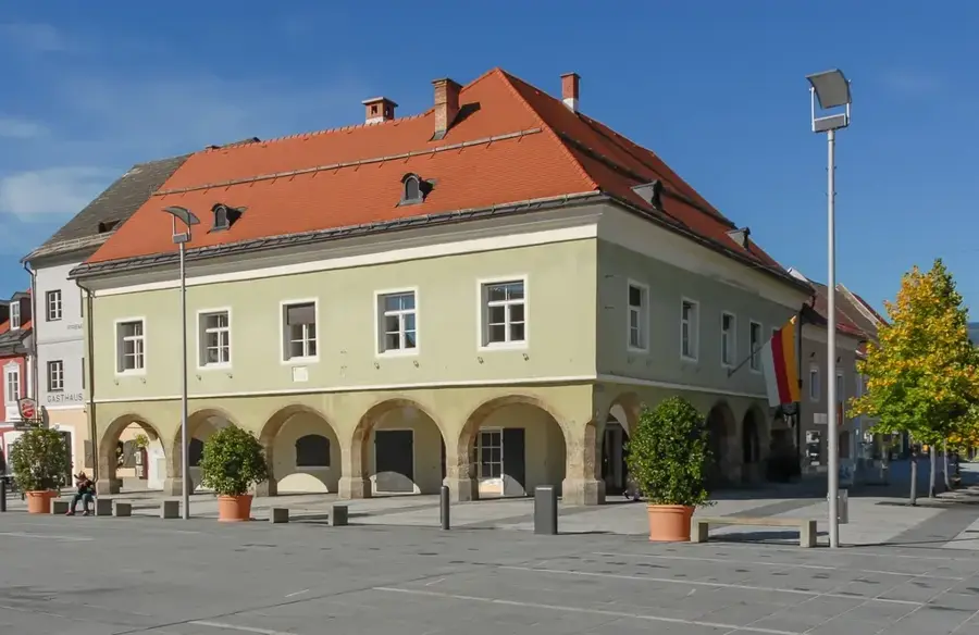
Sights in the town Schladming Tauern (4)
Sights nearby
Frequently asked questions
Why is the region famous?
Which peaks belong to it?
Are there mountain lakes for hiking?
How to reach Schladming?
Is the region active in summer?
Schladming Tauern: where is it located?
Schladming Tauern: what is there to see?
Schladming Tauern: when is the best time to visit?
Schladming Tauern: why is it worth visiting?

Nearby cities


History & landmarks
More places