Plizio Visual Lab
Große Wildstelle
Weather…
Water temperature…
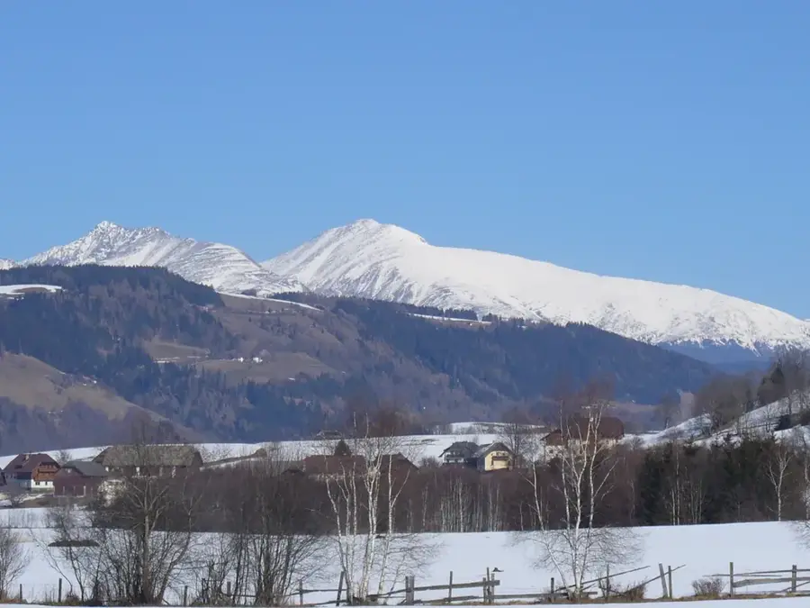
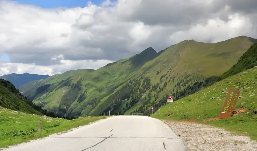
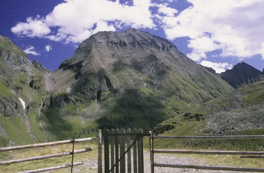
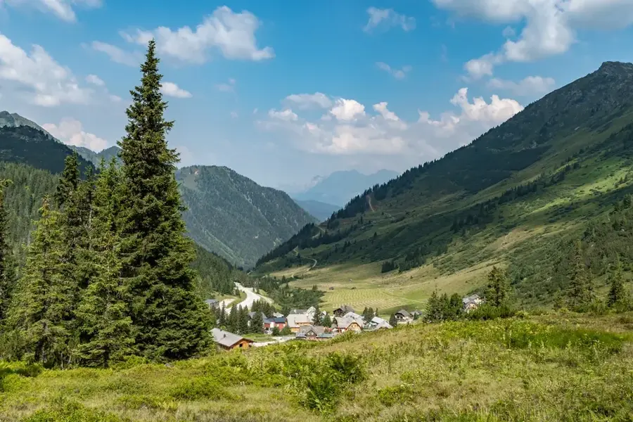
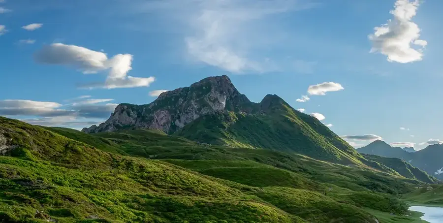
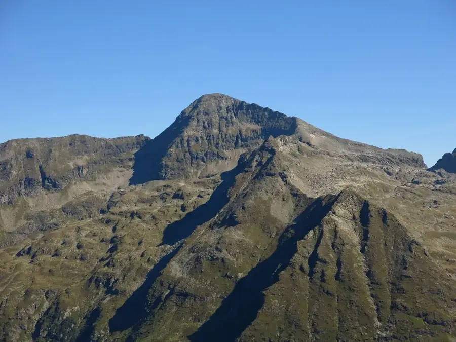
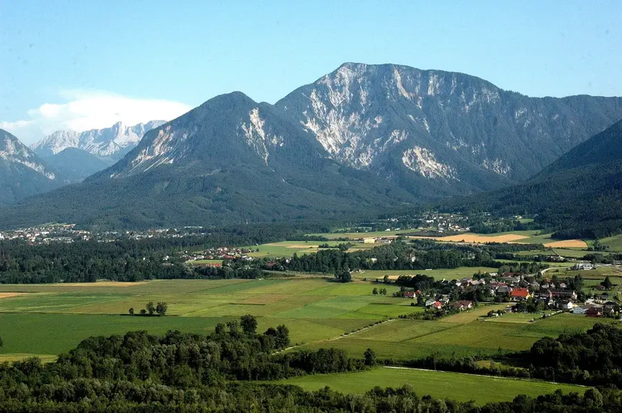
The Große Wildstelle is, at an elevation of 2,747 meters, the highest mountain in the Schladming Tauern and the highest peak situated entirely within Styrian territory. Geographically, the massif lies south of the Enns Valley and is a central component of the Lower Tauern. The geological structure consists of crystalline rocks such as quartz phyllite and gneiss, leading to rugged ridges and prominent glacial cirques. The mountain is known for its demanding ascents, with climbing via the south ridge or through the Wildlochscharte requiring alpine experience. Historically, the region was a site of intensive alpine farming, which is still practiced in the surrounding valleys today. From the summit, an exceptional panoramic view is offered of the neighboring Hochgolling and the Dachstein massif. Ecologically, the area is characterized by alpine meadows and scree slopes, which serve as habitats for specialized animal species such as ptarmigan and chamois.
- Location: Carinthia, Austria
- Top sights: Kieseck · Hohes Schareck · Kaiserspitze
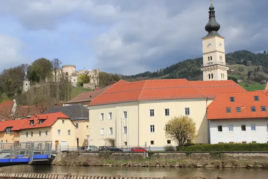
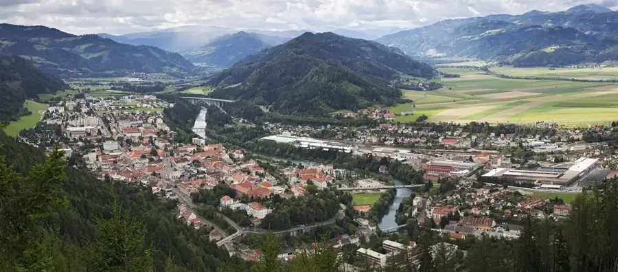
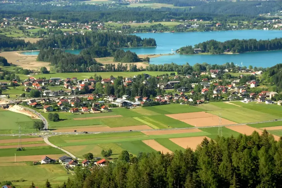
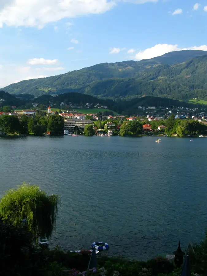
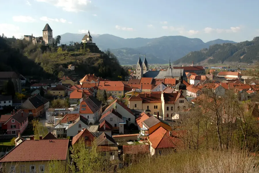
- Nearby: Schladming (16 km)
Best time to visit & climate
The most pleasant time to visit is Jun–Aug.
| Jan | Feb | Mar | Apr | May | Jun | Jul | Aug | Sep | Oct | Nov | Dec | |
|---|---|---|---|---|---|---|---|---|---|---|---|---|
| Avg °C | -5 | -5 | -1 | 4 | 9 | 13 | 15 | 14 | 10 | 6 | 1 | -4 |
| Rain mm | 82 | 67 | 81 | 75 | 140 | 167 | 177 | 175 | 132 | 96 | 73 | 76 |
📋 Practical info
Geography
Facts
- The Große Wildstelle reaches an elevation of 2,747 meters.
- It is the highest mountain situated entirely within Styria.
- Geologically, metamorphic rocks such as quartz phyllite dominate.
- The summit offers a 360-degree view of the Lower Tauern.
- The first documented ascents took place as early as the 19th century.
- The mountain's north faces drop steeply towards the Enns Valley.
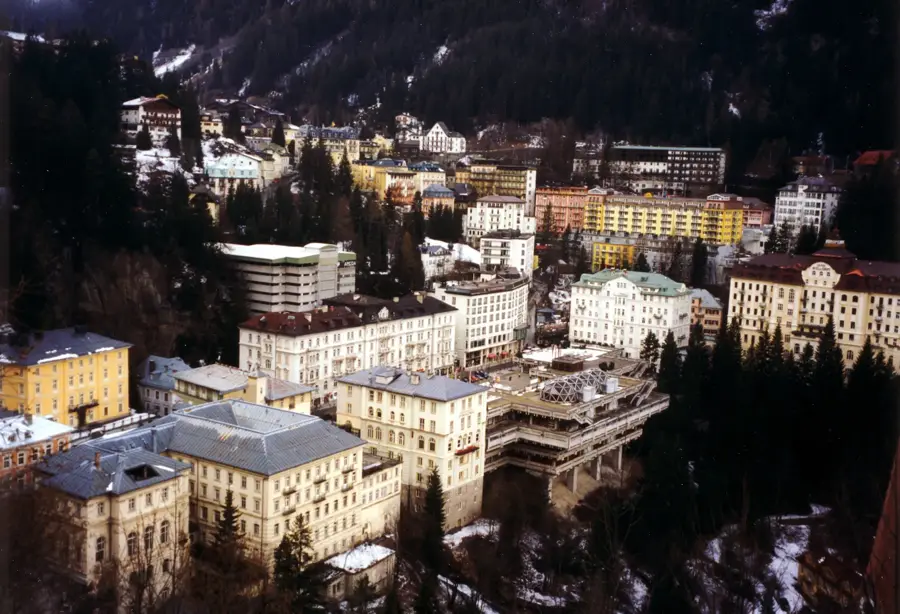
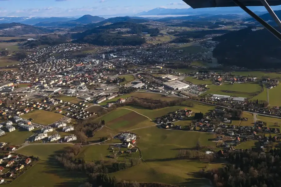
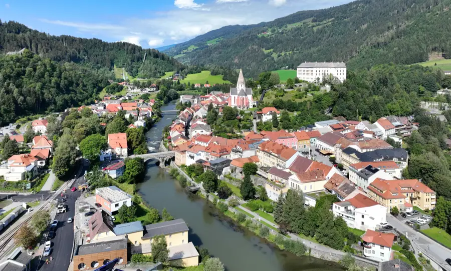
Explore nearby
Notable places around
Route planner — Car & Motorhome
Where do you start? We build the route here, with stops and country notes along the way.
© OpenStreetMap contributors · OpenRouteService
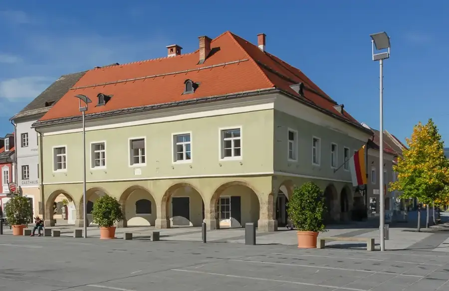
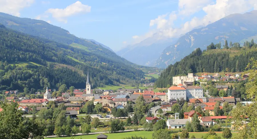
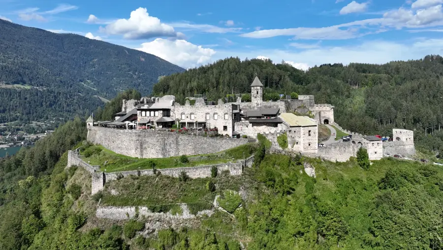
Sights in the town Große Wildstelle (3)
Sights nearby
Frequently asked questions
How high is the Große Wildstelle?
Is the climb difficult?
Where does the hike start?
Is there water along the way?
Do you need special equipment?
Große Wildstelle: where is it located?
Große Wildstelle: what is there to see?
Große Wildstelle: when is the best time to visit?
Große Wildstelle: why is it worth visiting?

Nearby cities


History & landmarks
More places