Plizio Visual Lab
Lower Tauern
Weather…
Water temperature…
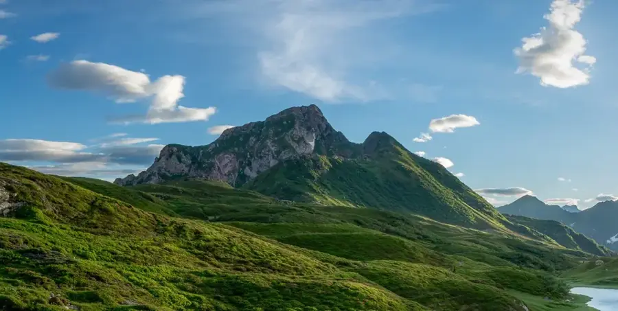
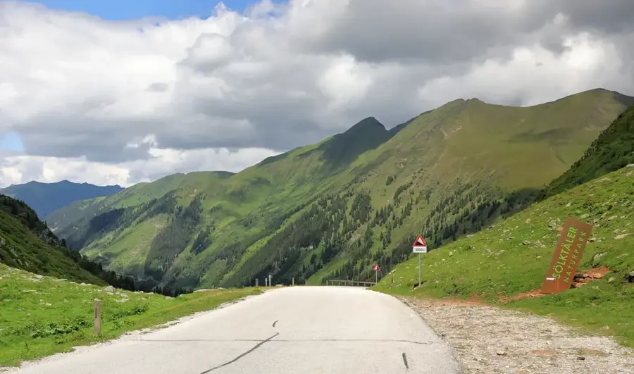
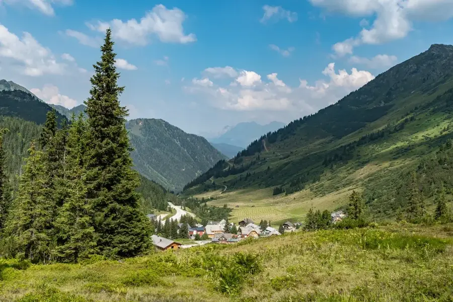
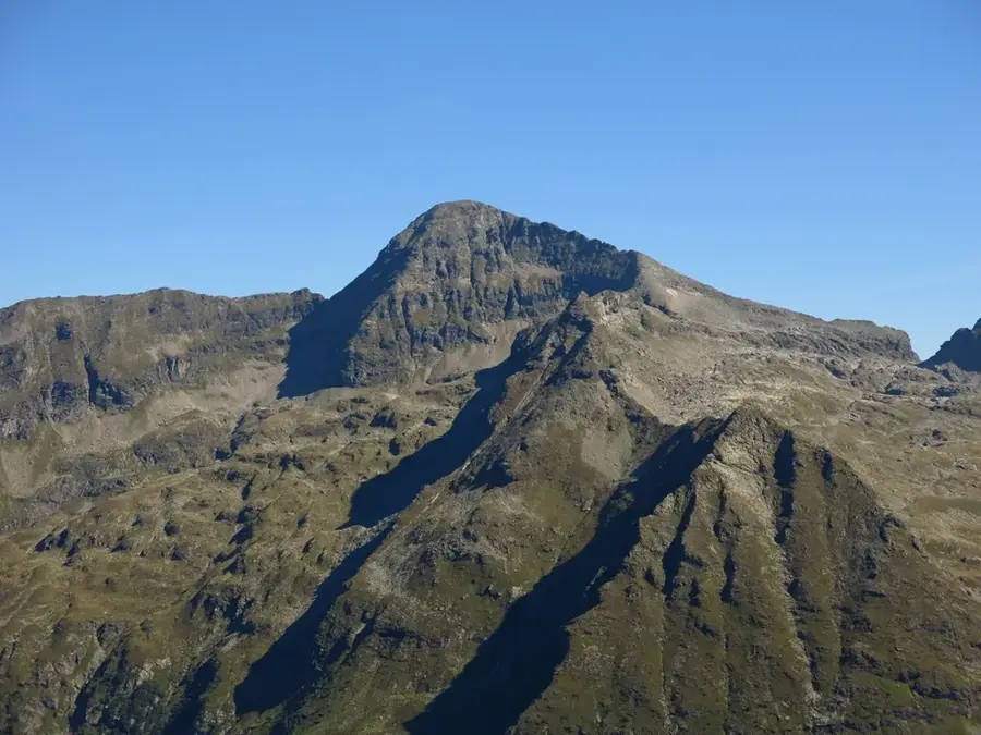
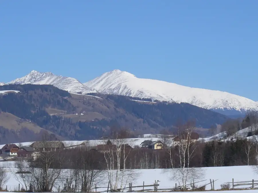
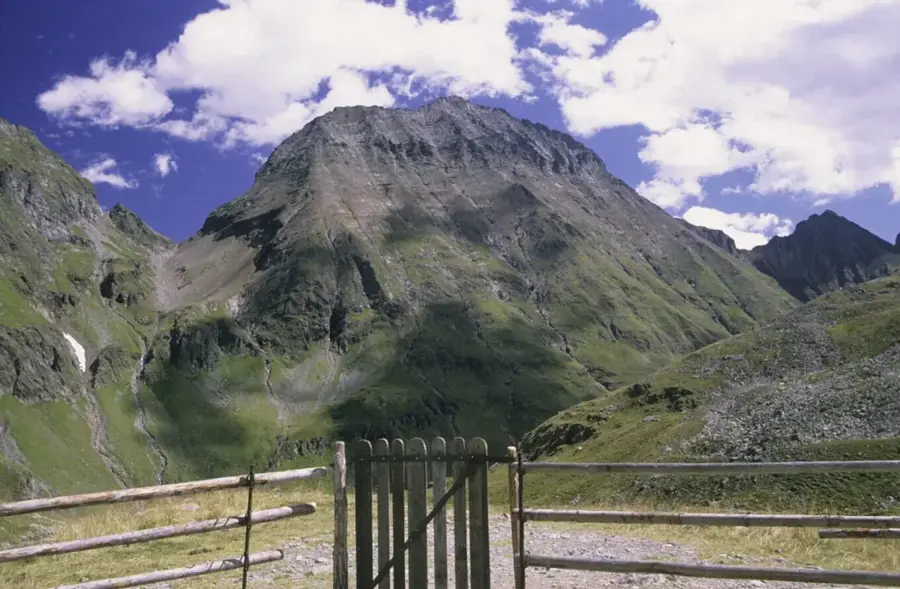
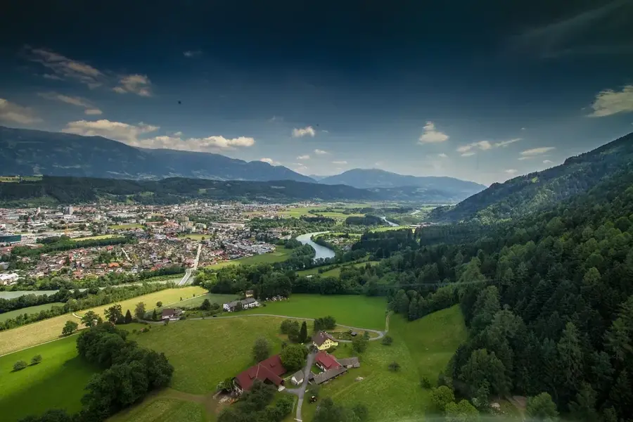
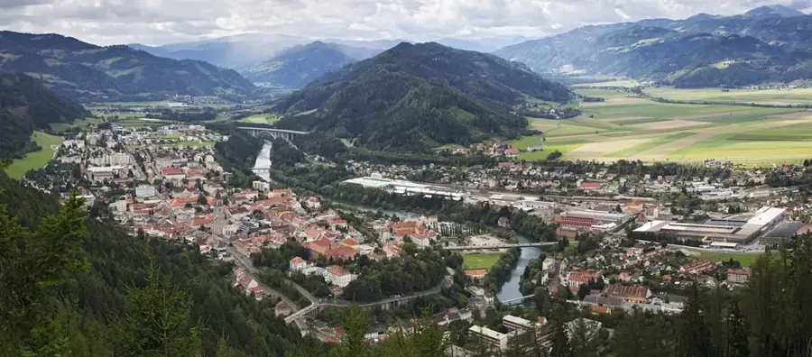
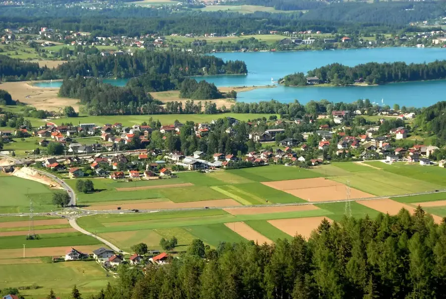
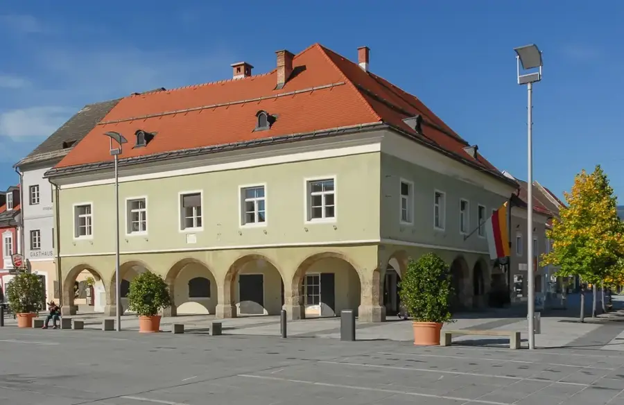
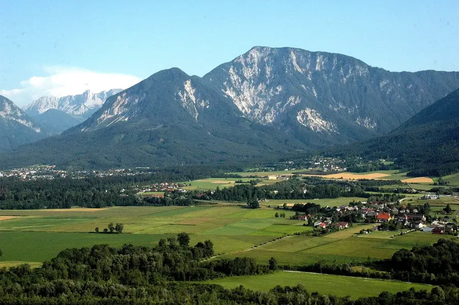
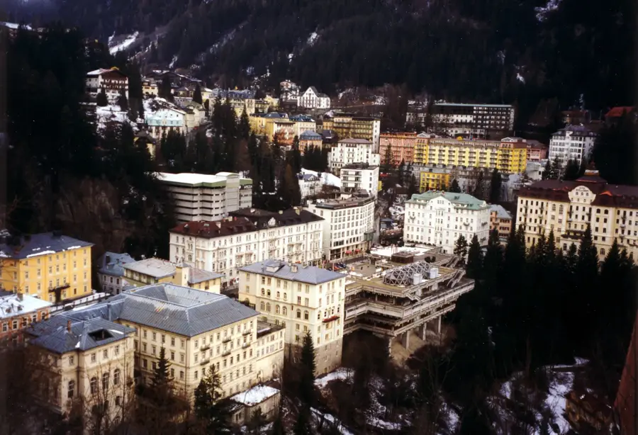
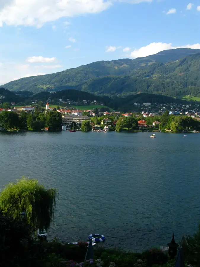
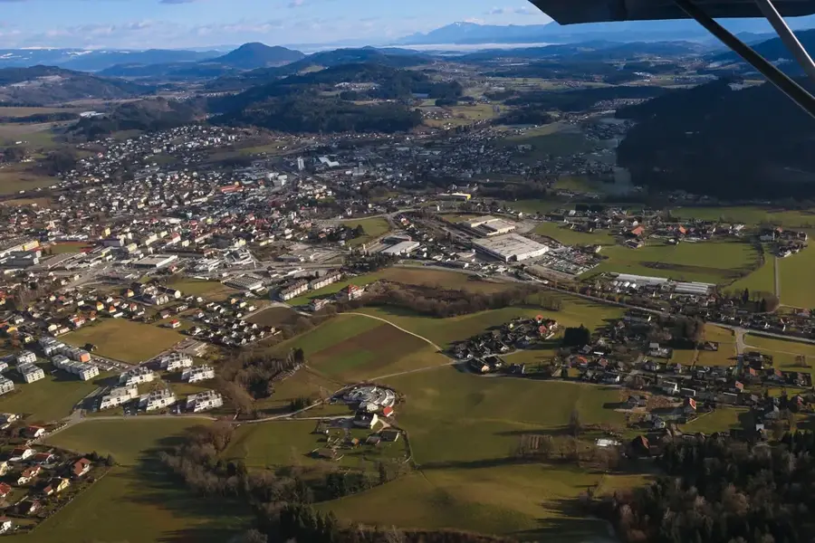
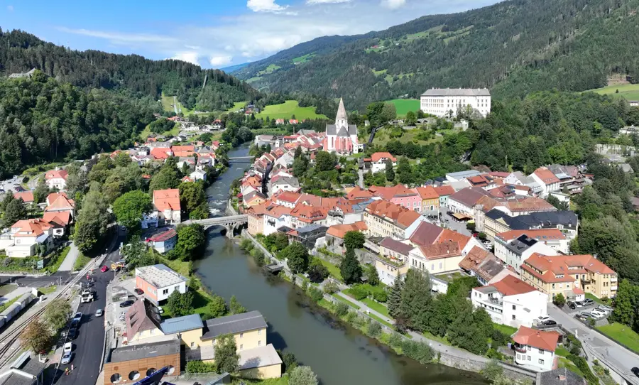
The Lower Tauern (Niedere Tauern) are part of the Central Eastern Alps in Austria and span the federal states of Salzburg and Styria. The range is divided into four main groups: the Radstadt Tauern, Schladming Tauern, Wölz Tauern, and Seckau Tauern. They reach their maximum height with the Hochgolling at 2863 meters, distinguishing them from the glaciated Hohe Tauern to the west. Geologically, crystalline schists and gneisses dominate, resulting in a water-rich landscape with numerous mountain lakes and waterfalls. The region is famous for its traditional alpine farming and today serves as a significant year-round tourism area, especially around Schladming. In winter, the mountains are a center for alpine skiing, while in summer, they attract hikers to the Tauern High Trail. The flora includes extensive stone pine forests and high alpine meadows where rare orchid species thrive. Historically, crossing the Tauern passes, such as the Radstadt Tauern Pass, was of great strategic importance as far back as Roman times. The Lower Tauern offer a gentler yet still high-alpine character compared to the Hohe Tauern, good for extensive trekking tours.
- Location: Carinthia, Austria
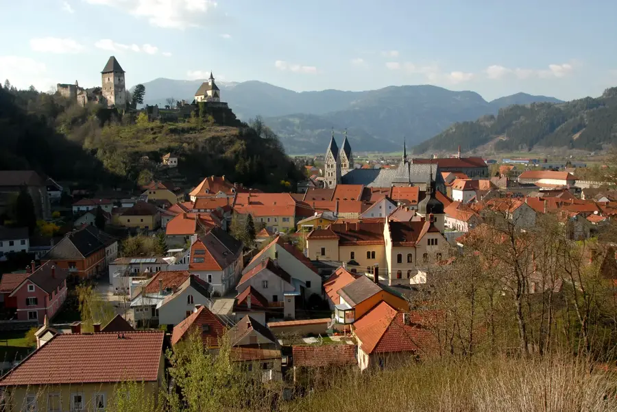
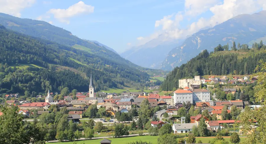
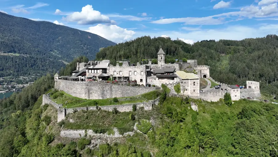
- Top sights: Rettlkirchspitze · Greim
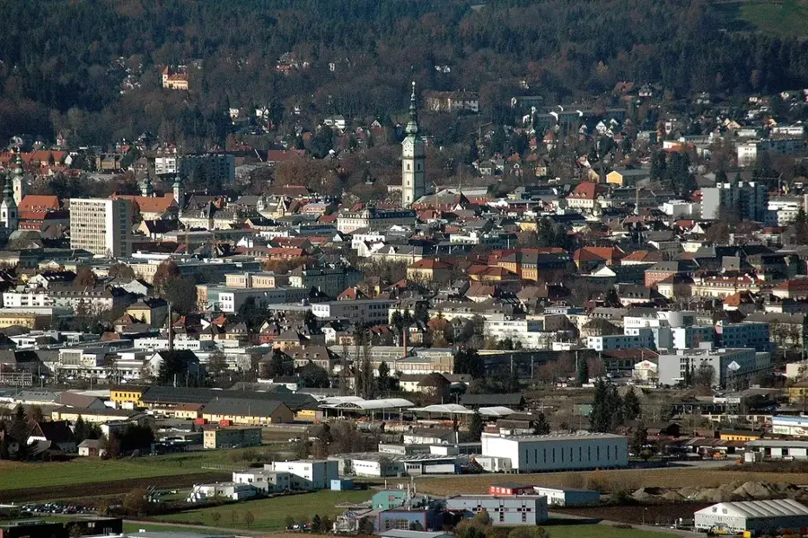
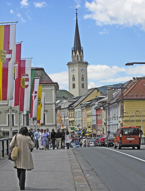
- Nearby: Liezen (37 km)
Best time to visit & climate
The most pleasant time to visit is Jun–Aug.
| Jan | Feb | Mar | Apr | May | Jun | Jul | Aug | Sep | Oct | Nov | Dec | |
|---|---|---|---|---|---|---|---|---|---|---|---|---|
| Avg °C | -5 | -5 | -1 | 4 | 9 | 13 | 15 | 14 | 10 | 6 | 1 | -4 |
| Rain mm | 82 | 67 | 81 | 75 | 140 | 167 | 177 | 175 | 132 | 96 | 73 | 76 |
📋 Practical info
Geography
Facts
- Hochgolling is the highest peak of the Lower Tauern at 2863 meters.
- The mountain range is divided into four main regional groups.
- There are over 300 mountain lakes in the Schladming Tauern.
- The Radstadt Tauern Pass is situated at 1738 meters above sea level.
- The region was historically significant for mining (silver, copper).
- The Tauern High Trail is a well-known long-distance trail in the area.
Explore nearby
Notable places around
Route planner — Car & Motorhome
Where do you start? We build the route here, with stops and country notes along the way.
© OpenStreetMap contributors · OpenRouteService
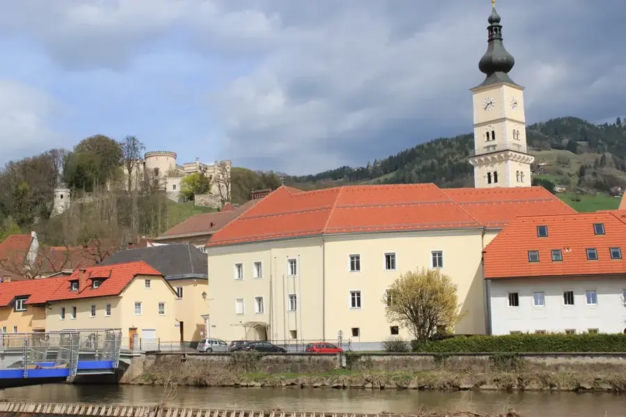
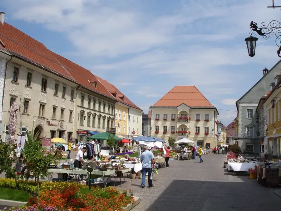
Sights in the town Lower Tauern (2)
Sights nearby
Frequently asked questions
How large are the Niedere Tauern?
What are the subgroups of the Niedere Tauern?
What is special about the Schladminger Tauern?
Are there long-distance hiking trails?
Which peak is the highest?
Lower Tauern: where is it located?
Lower Tauern: what is there to see?
Lower Tauern: when is the best time to visit?
Lower Tauern: why is it worth visiting?

Nearby cities


History & landmarks
More places