Plizio Visual Lab
Klagenfurt-Land

ℹ️Practical info — Klagenfurt-Land
▾
🌤 Weather — 5 days
📍 Nearby
Sights nearby
💡 Tips
- Visit the Pyramidenkogel, the world's tallest wooden observation tower, for a 360-degree view of Lake Wörthersee.
- Take a boat cruise across Wörthersee to hop easily between the towns on the northern and southern shores.
- Park on the outskirts of Maria Wörth, as the historic center on the peninsula is often crowded or restricted for cars.
- Explore the Keutschach lake valley by bike for a much quieter experience than the main Wörthersee lakefront.
- Visit the pilgrimage church in Maria Wörth in the late afternoon for a more peaceful and atmospheric experience.
🍽 Food
A delicate freshwater fish from the lake, freshly prepared in many restaurants around the shore.
A traditional Carinthian yeast cake with cinnamon, found in local bakeries or farmers' markets.
Fermented fruit juice typically served in the rural taverns (Buschenschanken) south of Klagenfurt.
🛍 Shopping · 🧘 Quiet spots
Just across the district border, this market has the best selection of regional products from the surrounding area.
Visit these for pumpkin seed oil, honey, and schnapps directly from local producers.
A smaller lake in the Keutschach valley, first-rate for a relaxing time away from the crowds.
Peaceful woodland paths with great views, far from the main tourist hubs by the lake.
Water temperature…
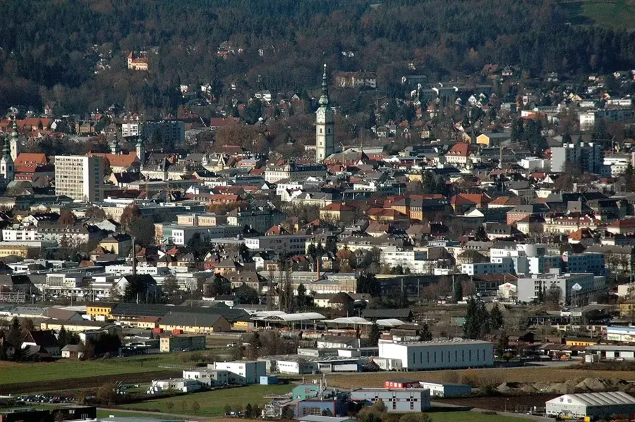
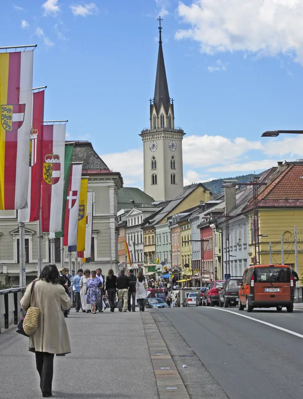
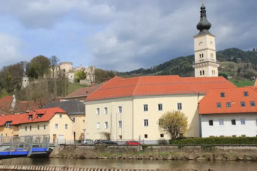
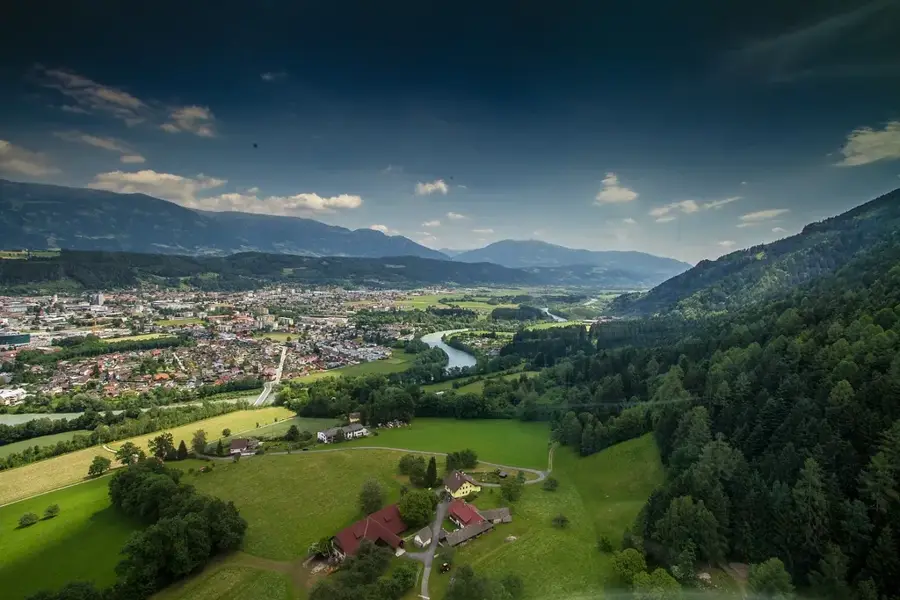
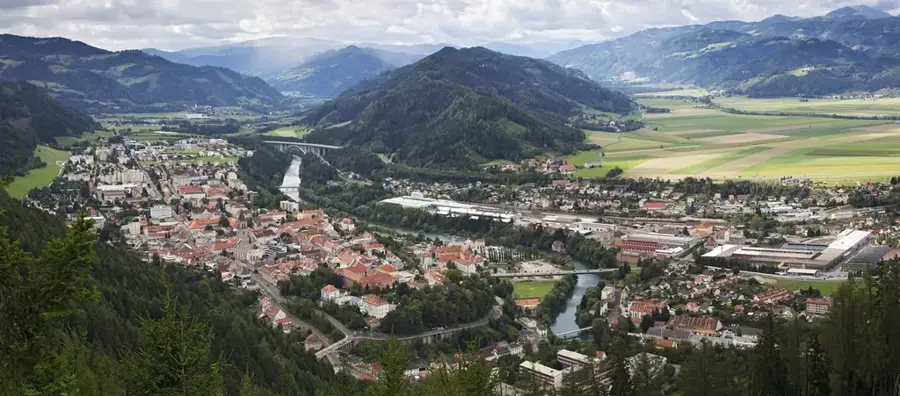
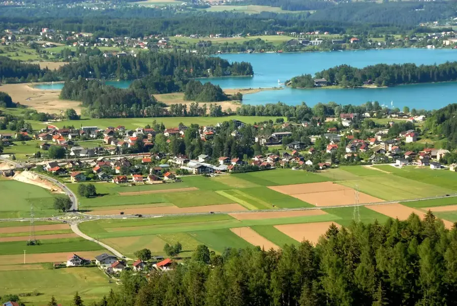
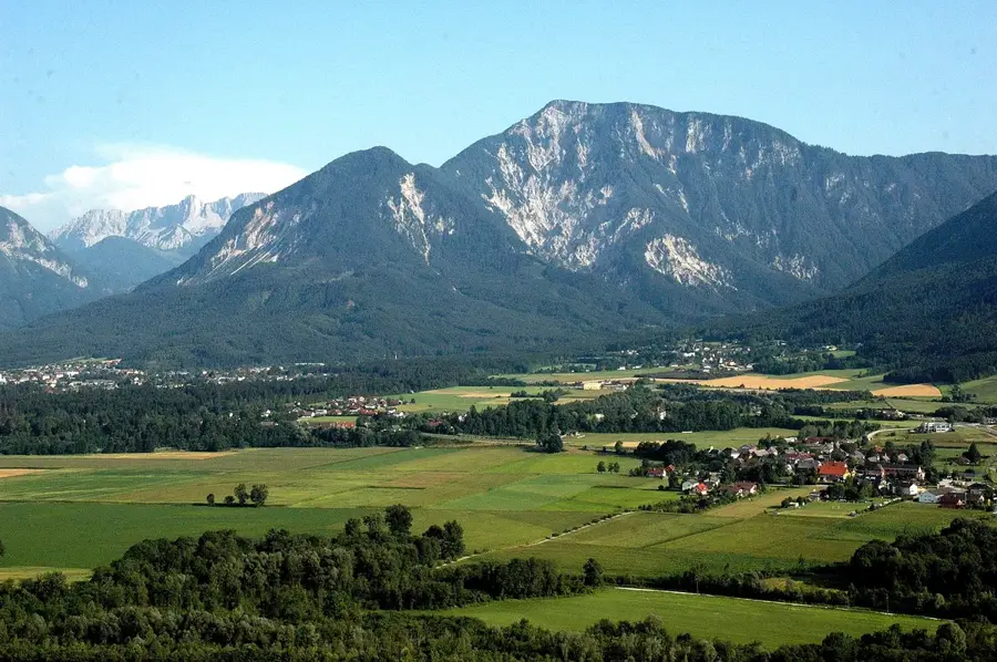
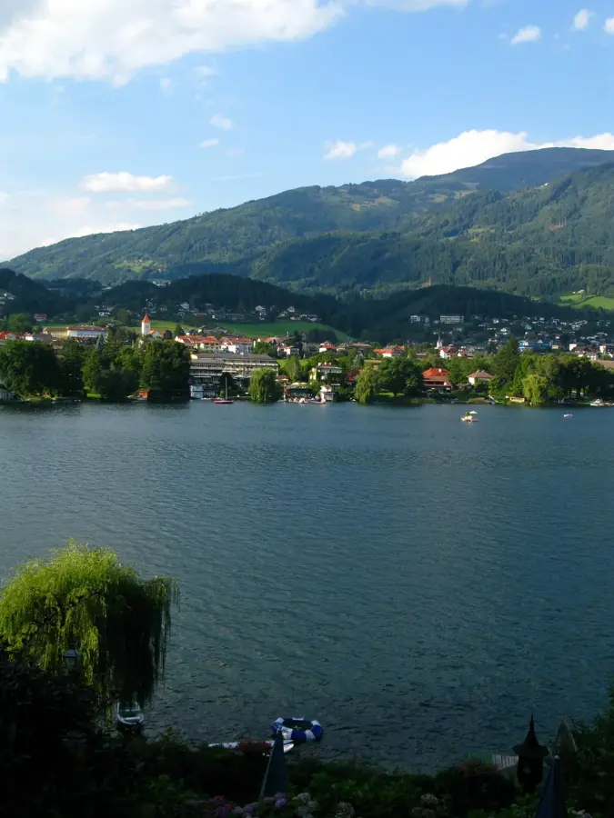
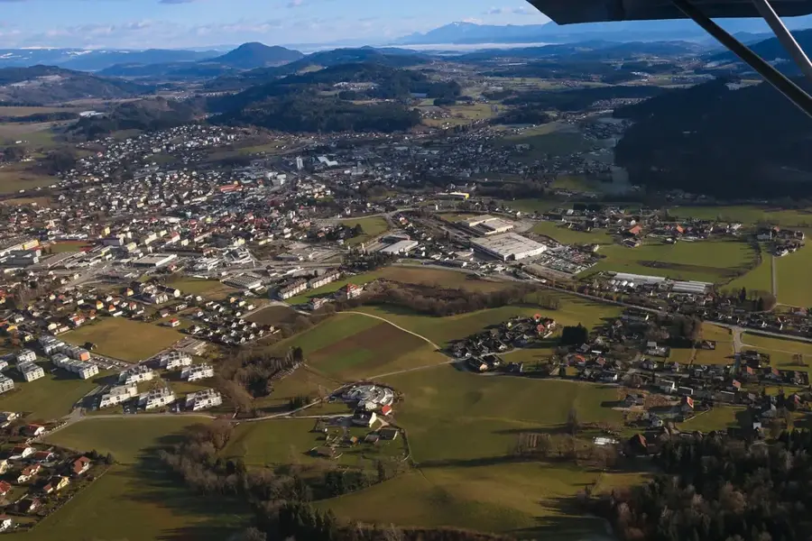
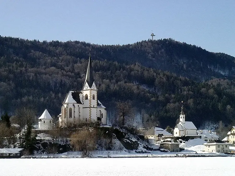
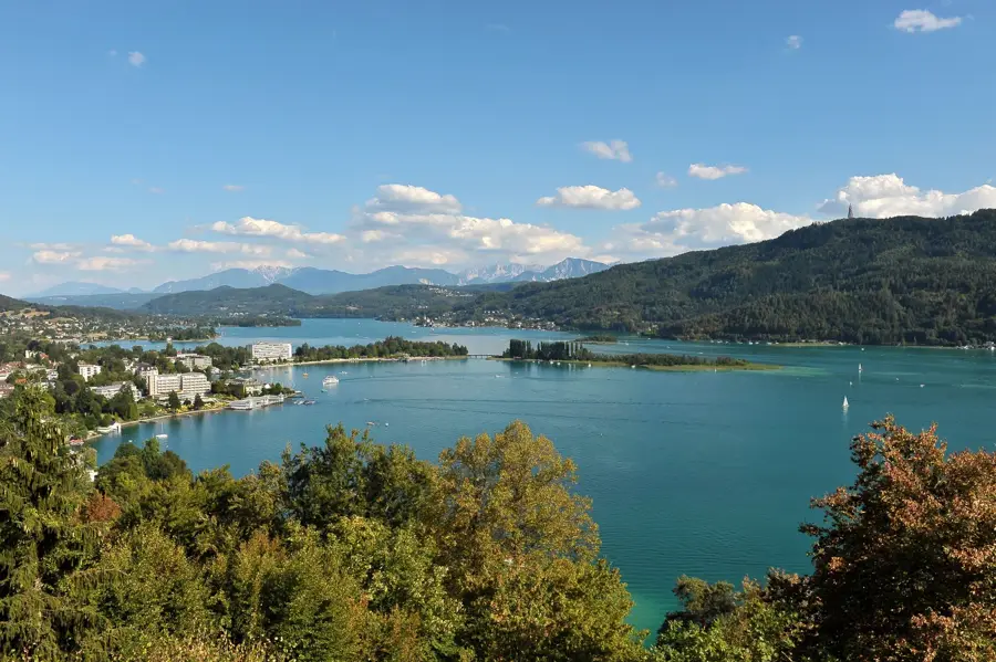
The Klagenfurt-Land district is an administrative region in the Austrian state of Carinthia, covering a geographically diverse area within the Klagenfurt Basin. The history of the territory is deeply rooted in Roman antiquity, evidenced by the remains of the ancient city of Virunum located near Maria Saal. Maria Saal itself is regarded as one of the oldest Christian centers in the region and houses the famous Carinthian Ducal Seat, where dukes were once installed in office. The landscape is bordered to the south by the striking peaks of the Karawanks, forming the border with Slovenia, while the northern parts are characterized by rolling hills and fertile plains. Economically, tourism plays a pivotal role, particularly due to the access to the eastern shores of Lake Wörthersee and smaller bodies of water like Lake Keutschach. Alongside agriculture, the region is closely linked to the economic dynamics of the state capital, Klagenfurt, with many residents serving as commuters. Architecturally, historic churches and well-preserved farmsteads define the visual character of the rural municipalities.
- Location: Carinthia, Austria
- Top sights: Klagenfurter Ensemble · Stadttheater · Kunstverein Kärnten - Künstlerhaus
- Nearby: Ebenthal (5 km)
- Population: ~7.000
Best time to visit & climate
The most pleasant time to visit is Jun–Aug.
| Jan | Feb | Mar | Apr | May | Jun | Jul | Aug | Sep | Oct | Nov | Dec | |
|---|---|---|---|---|---|---|---|---|---|---|---|---|
| Avg °C | -3 | -2 | 2 | 7 | 12 | 16 | 19 | 18 | 13 | 8 | 3 | -2 |
| Rain mm | 45 | 57 | 61 | 71 | 100 | 110 | 114 | 125 | 124 | 94 | 91 | 67 |
Geography
Facts
- Founded in 1868
- Area of approximately 765 square kilometers
- Includes 19 municipalities
- Highest point is the Hochstuhl at 2237 meters
- District administration headquarters in Klagenfurt
- Part of the Klagenfurt Basin
Explore nearby
Notable places around
Route planner — Car & Motorhome
Where do you start? We build the route here, with stops and country notes along the way.
© OpenStreetMap contributors · OpenRouteService
Sights in the town Klagenfurt-Land (14)
Frequently asked questions
Which lakes are located in the Klagenfurt-Land district?
What does the Pyramidenkogel observation tower offer?
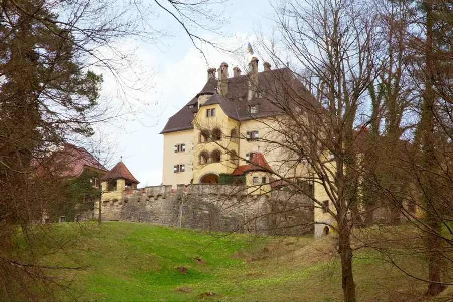
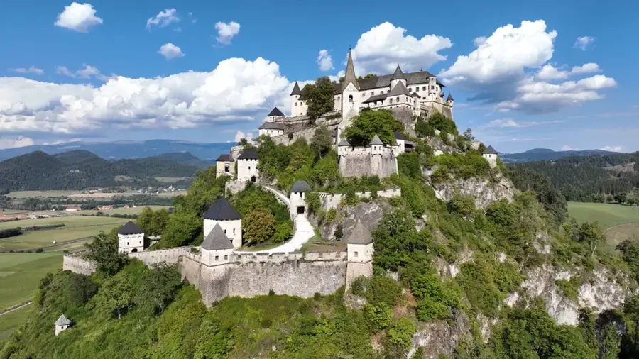
Are there castles in the Klagenfurt surroundings?
What is Bodental?
Is it good for cycling in the region?
Klagenfurt-Land: where is it located?
Klagenfurt-Land: what is there to see?
Klagenfurt-Land: when is the best time to visit?
Klagenfurt-Land: why is it worth visiting?

Nearby cities


History & landmarks
Nature
More places