Plizio Visual Lab
Ansberg

Weather…
Water temperature…
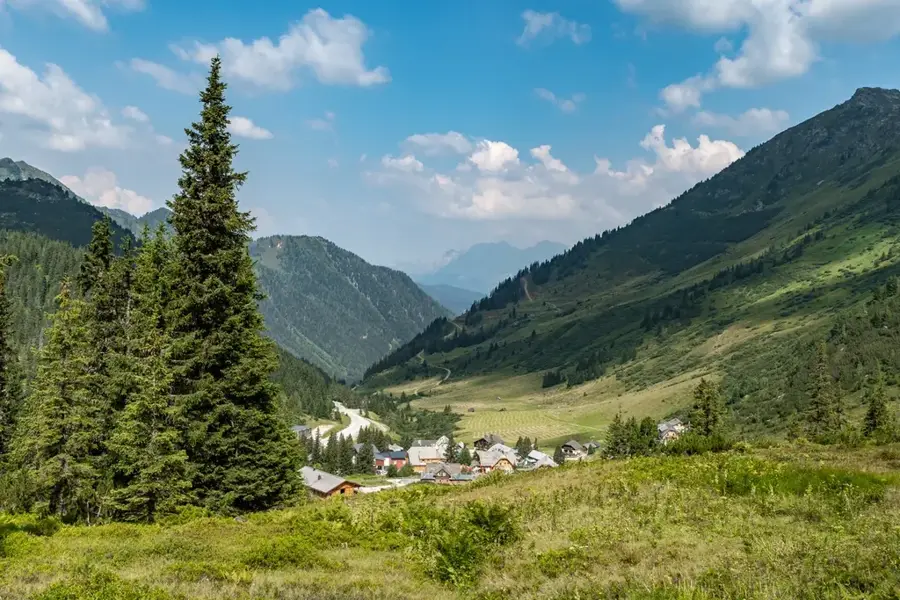
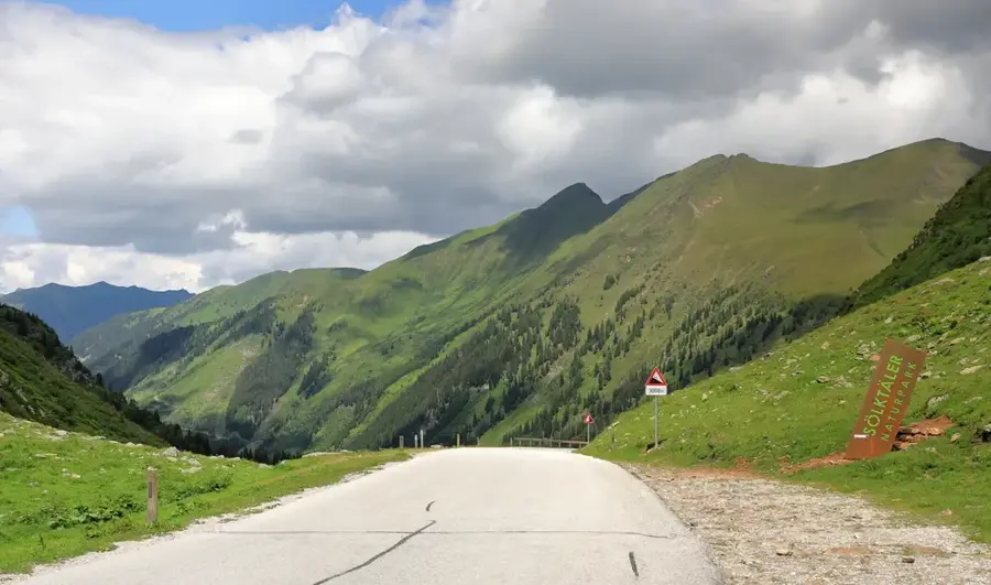
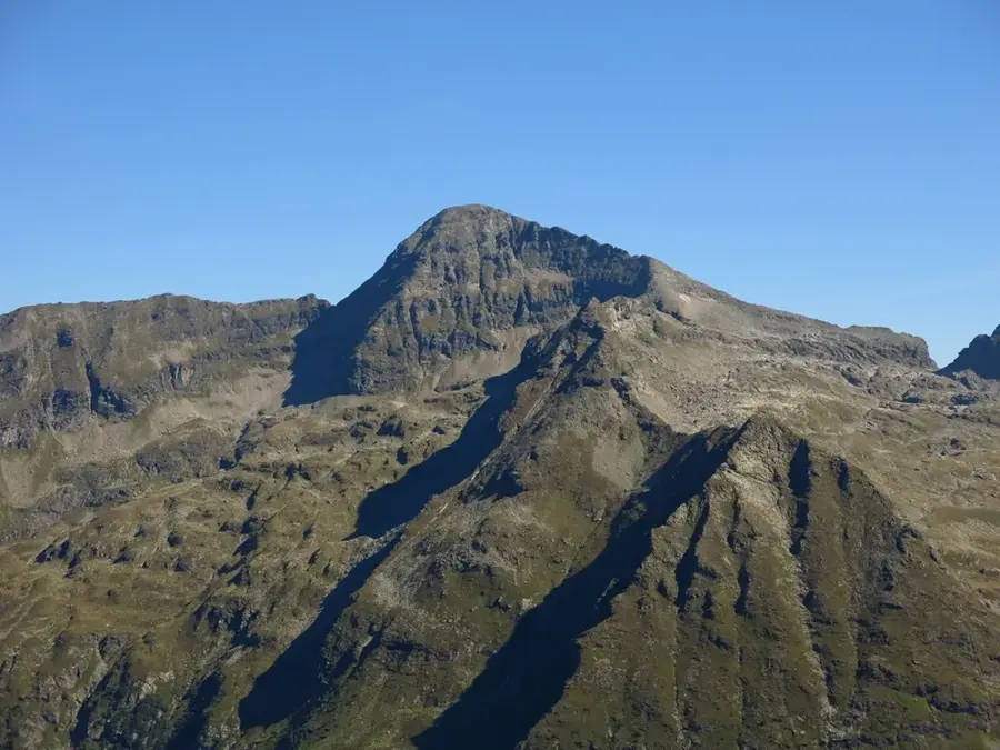
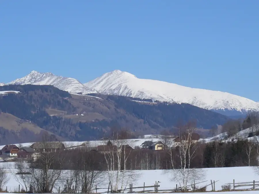
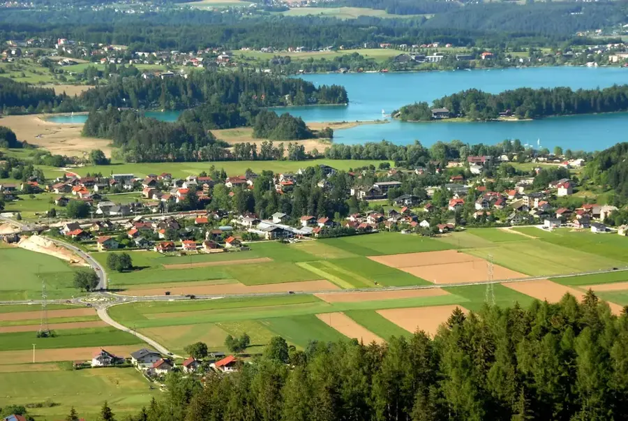
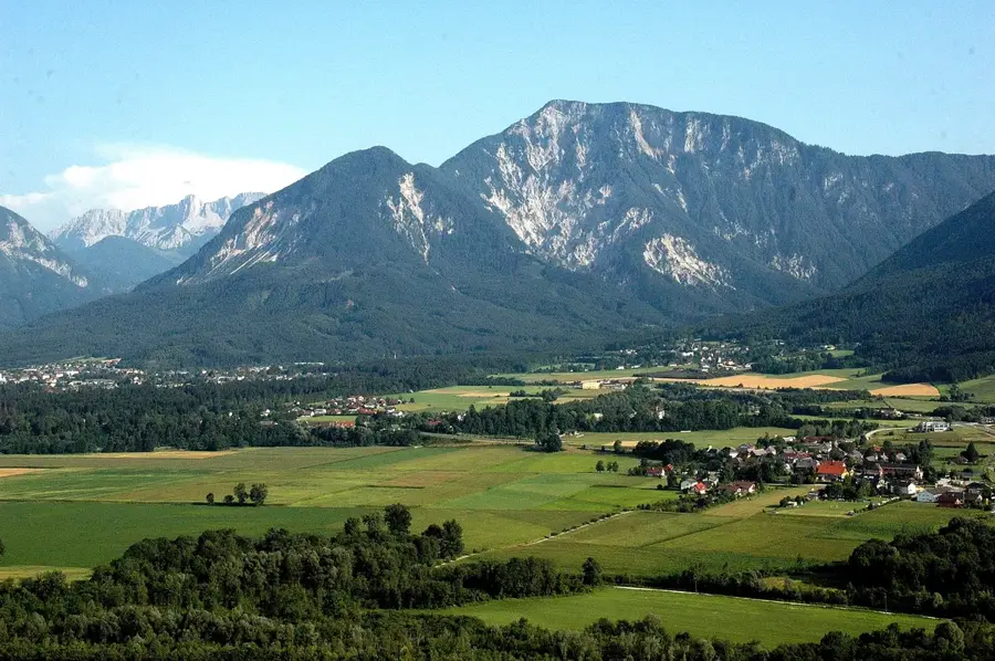
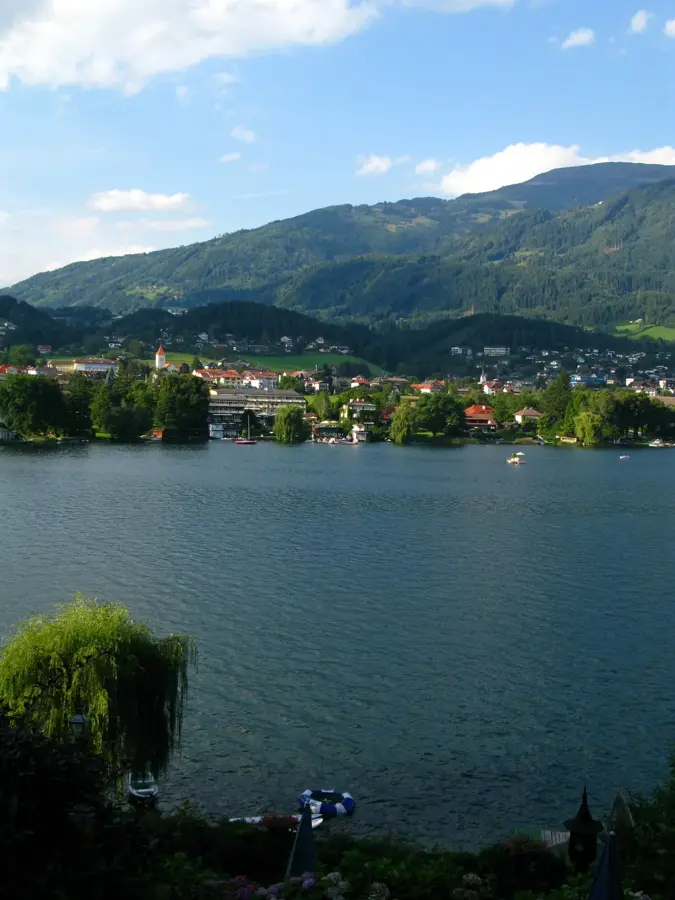
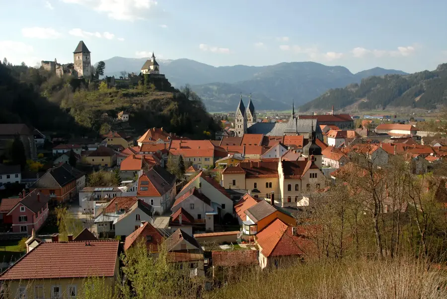
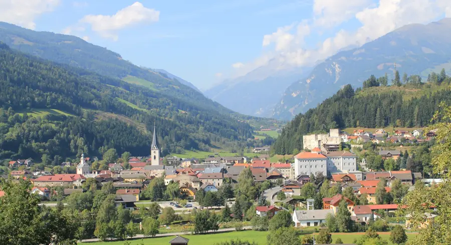
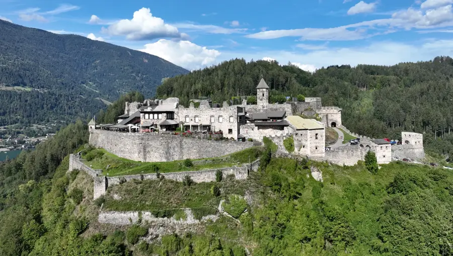
Ameisberg (frequently referred to as Ansberg) rises to 940 meters, making it one of the highest elevations in the Upper Mühlviertel region of Upper Austria. Located in the municipality of Sarleinsbach, its prominent position on the high plateau affords striking 360-degree views that extend from the Bohemian border to the main Alpine chain on clear days. The summit features a heritage-listed observation tower built in 1904 in a historicist style, serving as a popular local destination. Geologically, the mountain is part of the Bohemian Massif, composed primarily of granite and gneiss, evidenced by characteristic boulder formations and weathering patterns. The surrounding area is defined by a traditional agricultural landscape, first-rate for hiking and cross-country skiing during the winter months. Historically, the region was an important settled area along the ancient trade routes connecting the Danube River with Bohemia.
- Location: Carinthia, Austria
- Top sights: Breiteckkoppe · Hintergullingspitz · Brennkogel
- Nearby: Liezen (22 km)
Best time to visit & climate
The most pleasant time to visit is Jun–Aug.
| Jan | Feb | Mar | Apr | May | Jun | Jul | Aug | Sep | Oct | Nov | Dec | |
|---|---|---|---|---|---|---|---|---|---|---|---|---|
| Avg °C | -5 | -5 | -1 | 4 | 9 | 13 | 15 | 14 | 10 | 6 | 1 | -4 |
| Rain mm | 82 | 67 | 81 | 75 | 140 | 167 | 177 | 175 | 132 | 96 | 73 | 76 |
📋 Practical info
Geography
Facts
- Ameisberg reaches a maximum elevation of 940 m.
- The observation tower at the summit was completed in 1904.
- The tower stands 24 meters tall and includes a small restaurant.
- Geologically, the mountain belongs to the Bohemian Massif's granite layer.
- On clear days, the visibility extends for over 150 kilometers.
- It is the highest point within the Rohrbach district.
Explore nearby
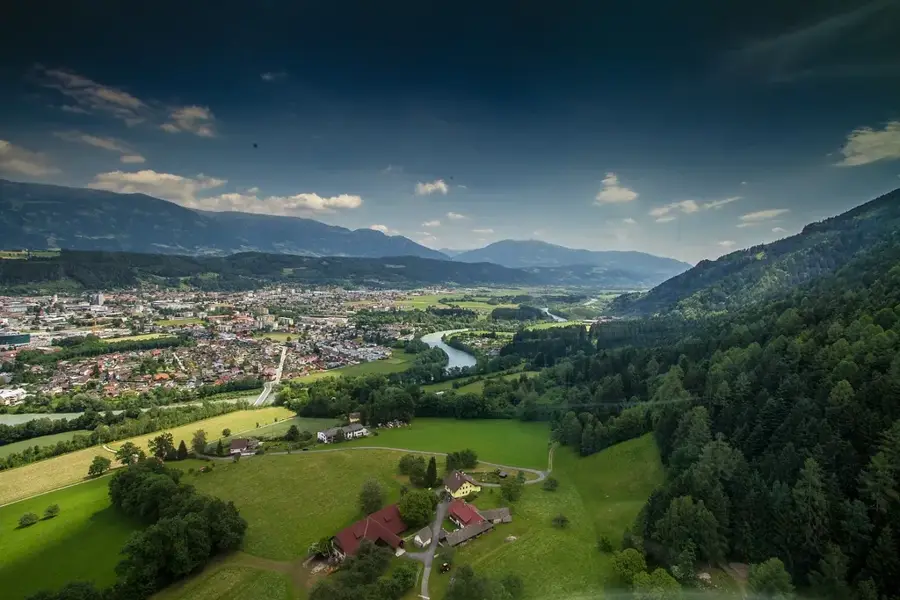
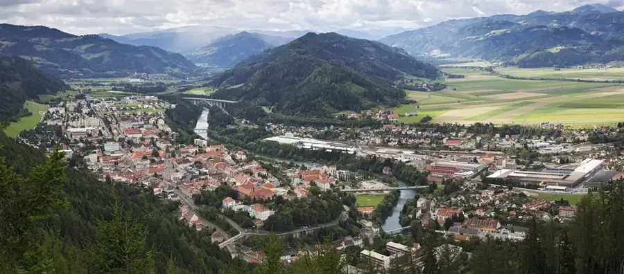
Notable places around
Route planner — Car & Motorhome
Where do you start? We build the route here, with stops and country notes along the way.
© OpenStreetMap contributors · OpenRouteService
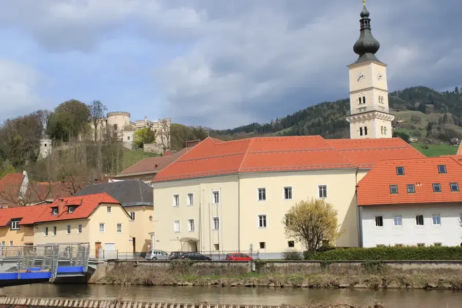
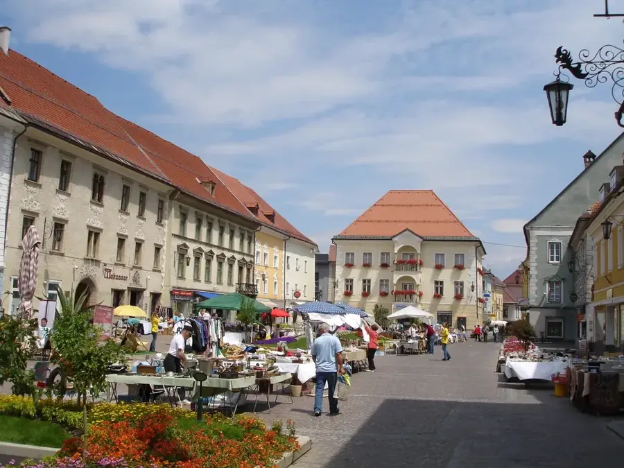
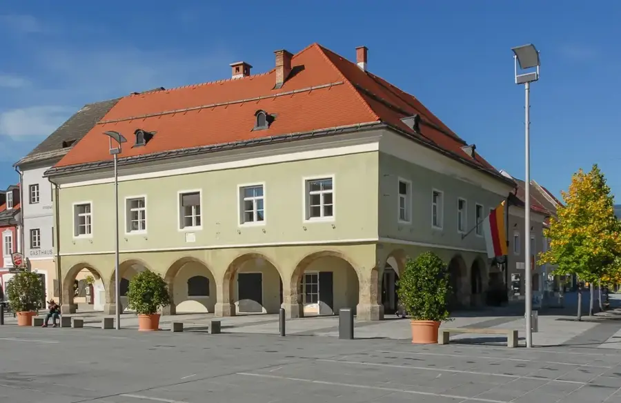
Sights in the town Ansberg (3)
Sights nearby
Frequently asked questions
Where is the Ansberg located?
Is it suitable for light hikes?
What is special about the view?
Are there inns there?
Which season is best?
Ansberg: where is it located?
Ansberg: what is there to see?
Ansberg: when is the best time to visit?
Ansberg: why is it worth visiting?

Nearby cities


History & landmarks
More places