Plizio Visual Lab
Hoher Trieb
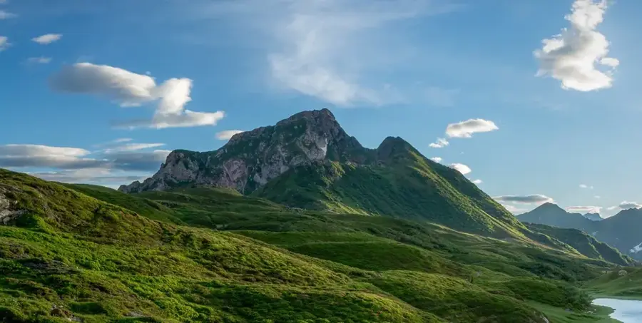
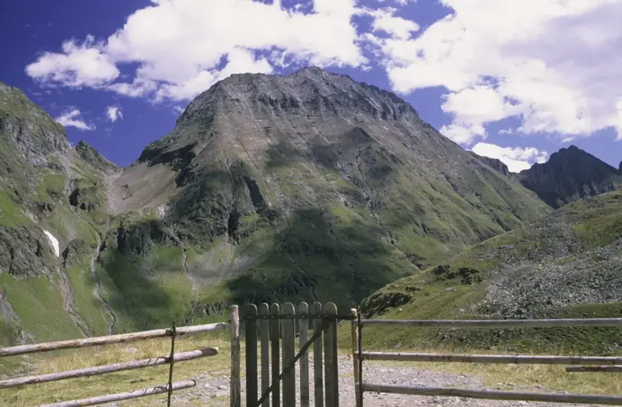
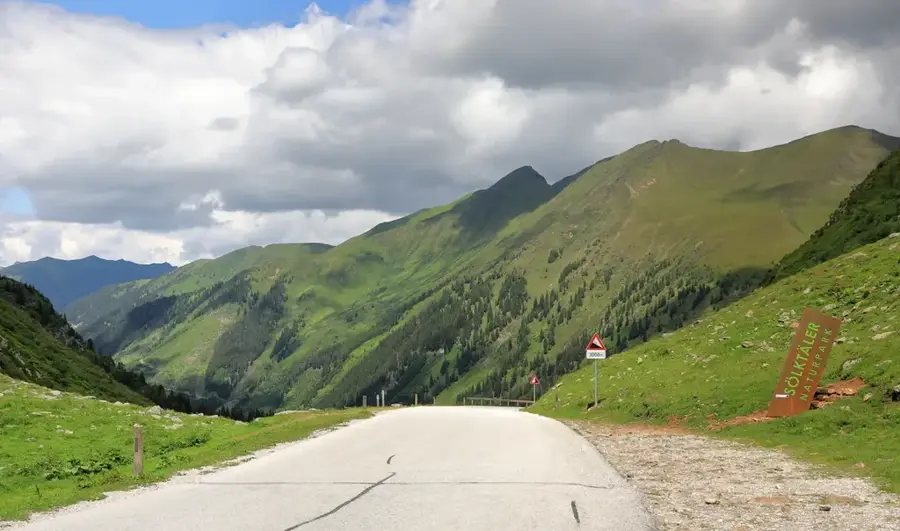
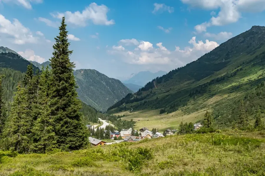
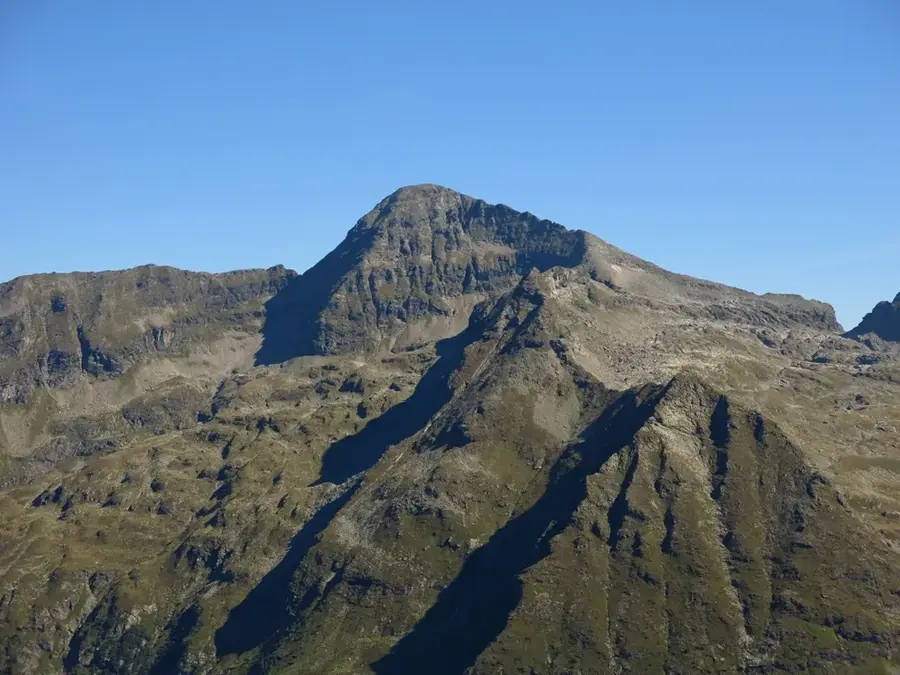
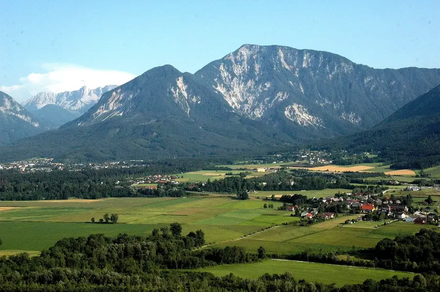
The Hoher Trieb is a prominent mountain peak in the Rottenmann Tauern, a subrange of the Low Tauern in the Austrian state of Styria. Rising to an elevation of 2,196 meters above sea level, it serves as a significant landmark located west of the Edelrautehütte mountain hut. Geologically, the mountain is part of the Central Alpine crystalline zone, with metamorphic schist forming its core structure. The standard ascent route typically passes by the Großer Scheibelsee lake and climbs through steep, rocky terrain characterized by high-alpine flora such as ore-dwelling grasses. Historically, the area surrounding Hoher Trieb has been used for extensive alpine farming for centuries, maintaining the distinct cultural landscape of the region. From the summit, hikers can enjoy expansive views ranging from the Paltental valley to the limestone cliffs of the Gesäuse Mountains in the north. The climatic conditions at this altitude are strictly high-alpine, resulting in a short growing season and snow cover that often lasts until early summer.
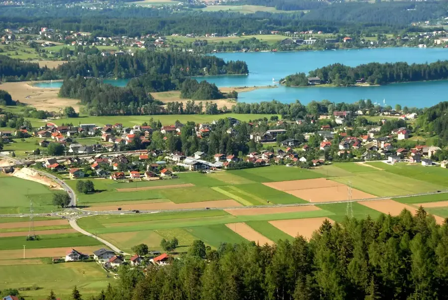
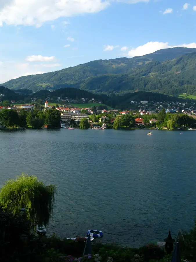
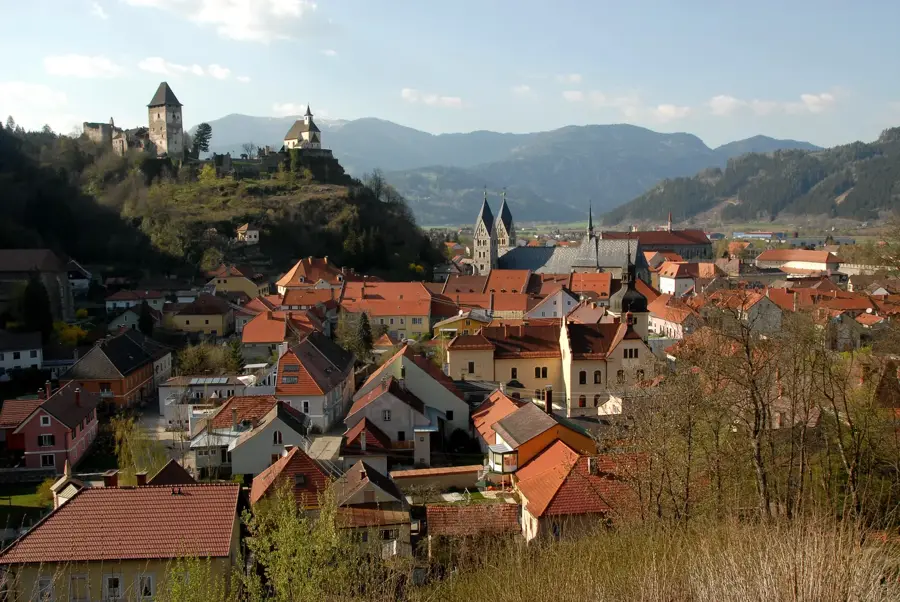
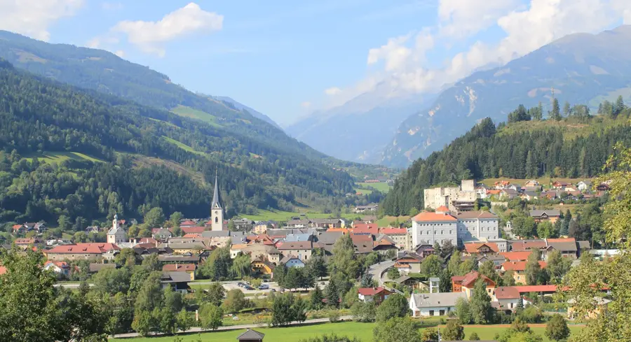
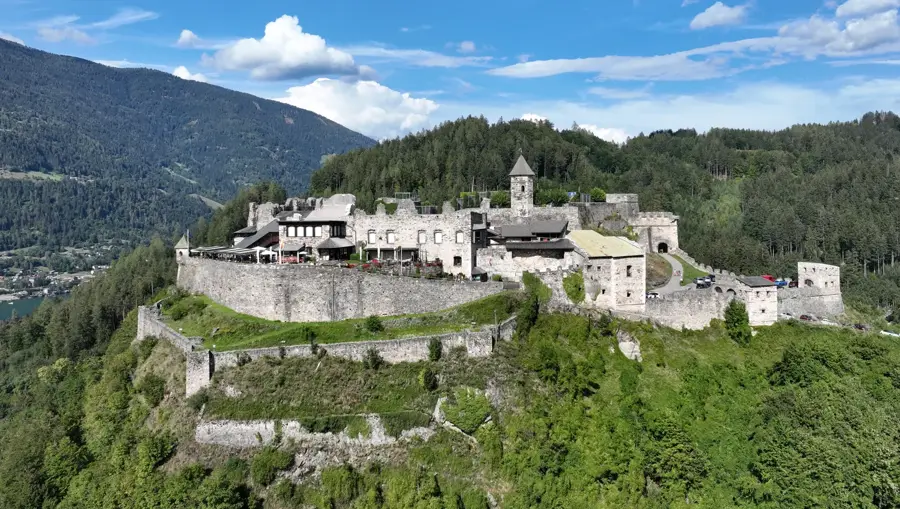
- Location: Carinthia, Austria
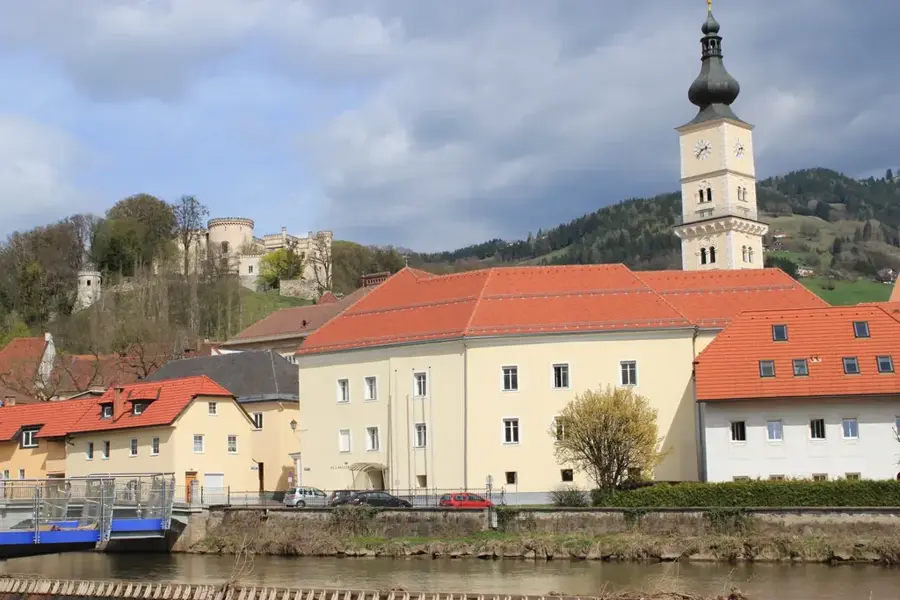
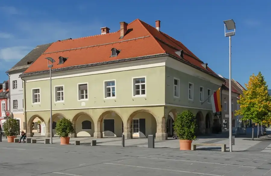
- Top sights: Schloss Feistritz · Öhler Paterschlössl · Wallfahrtskirche Maria Altötting
- Nearby: Judenburg (35 km)
Best time to visit & climate
The most pleasant time to visit is Jun–Aug.
| Jan | Feb | Mar | Apr | May | Jun | Jul | Aug | Sep | Oct | Nov | Dec | |
|---|---|---|---|---|---|---|---|---|---|---|---|---|
| Avg °C | -6 | -6 | -1 | 4 | 8 | 12 | 14 | 14 | 9 | 5 | 0 | -5 |
| Rain mm | 48 | 49 | 61 | 74 | 116 | 141 | 156 | 165 | 125 | 94 | 86 | 60 |
📋 Practical info
Geography
Facts
- The official summit elevation is 2,196 meters.
- The peak is located in the Rottenmann Tauern range in Styria.
- The geological structure consists mainly of crystalline schist.
- The Edelrautehütte is the primary base for summit attempts.
- Großer Scheibelsee is a mountain lake located at the northern base.
- The summit offers views of the limestone Gesäuse Mountains.
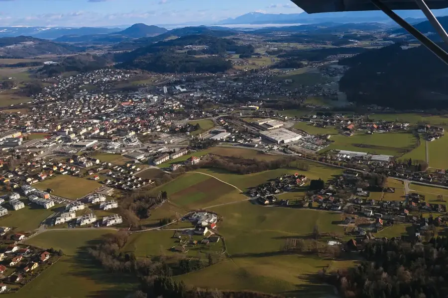
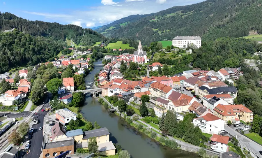
Explore nearby
Notable places around
Route planner — Car & Motorhome
Where do you start? We build the route here, with stops and country notes along the way.
© OpenStreetMap contributors · OpenRouteService
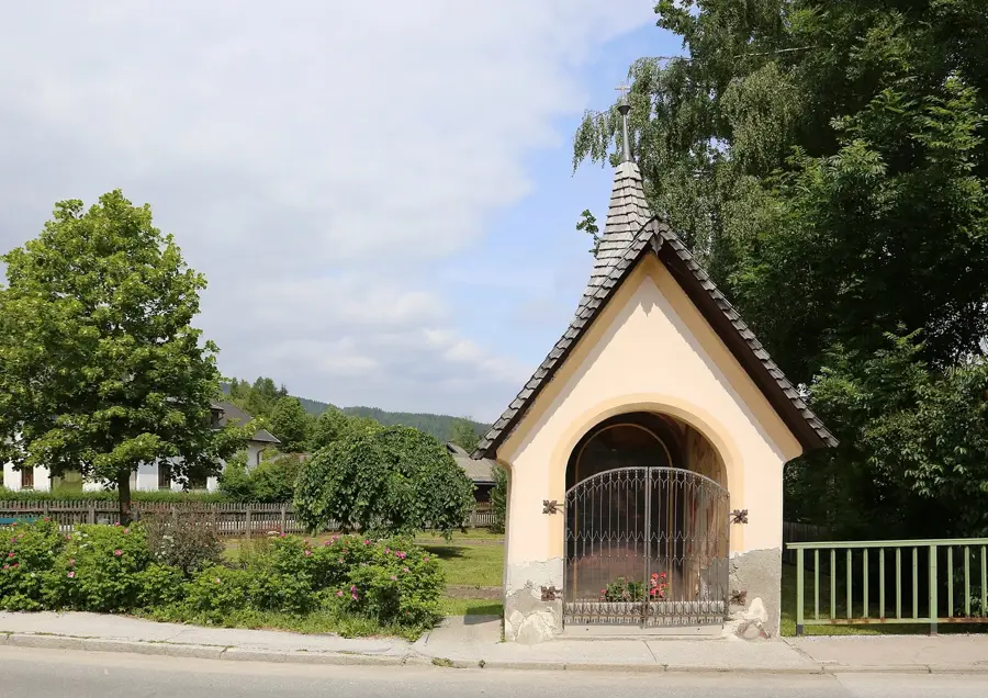
Sights in the town Hoher Trieb (4)
Sights nearby
Frequently asked questions
Where is the Hoher Trieber located?
How high is this peak?
Is the hike secluded?
Are there parking facilities?
Is the path marked?
Hoher Trieb: where is it located?
Hoher Trieb: what is there to see?
Hoher Trieb: when is the best time to visit?
Hoher Trieb: why is it worth visiting?

Nearby cities


History & landmarks
More places