Plizio Visual Lab
Planneralm
Weather…
Water temperature…
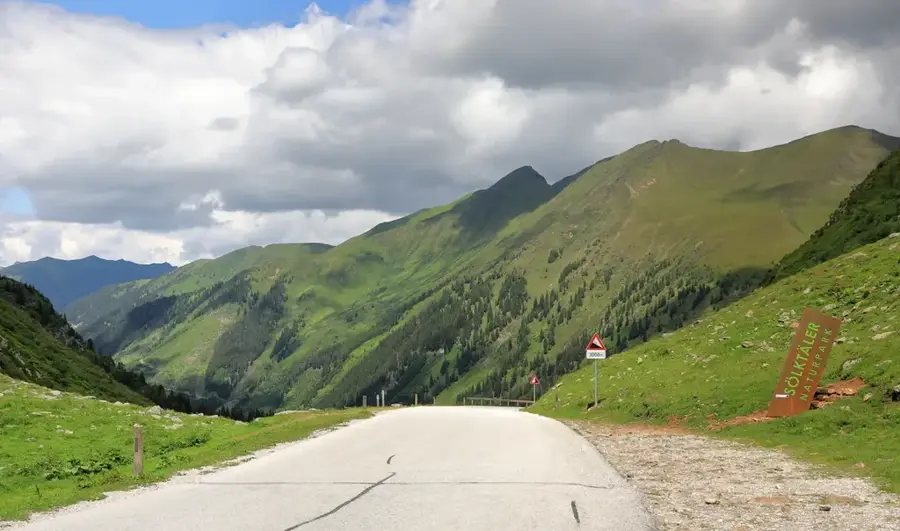
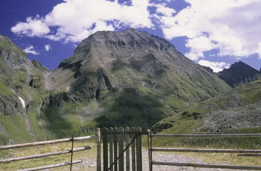
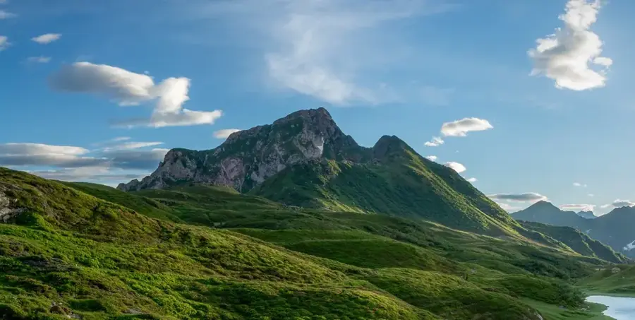
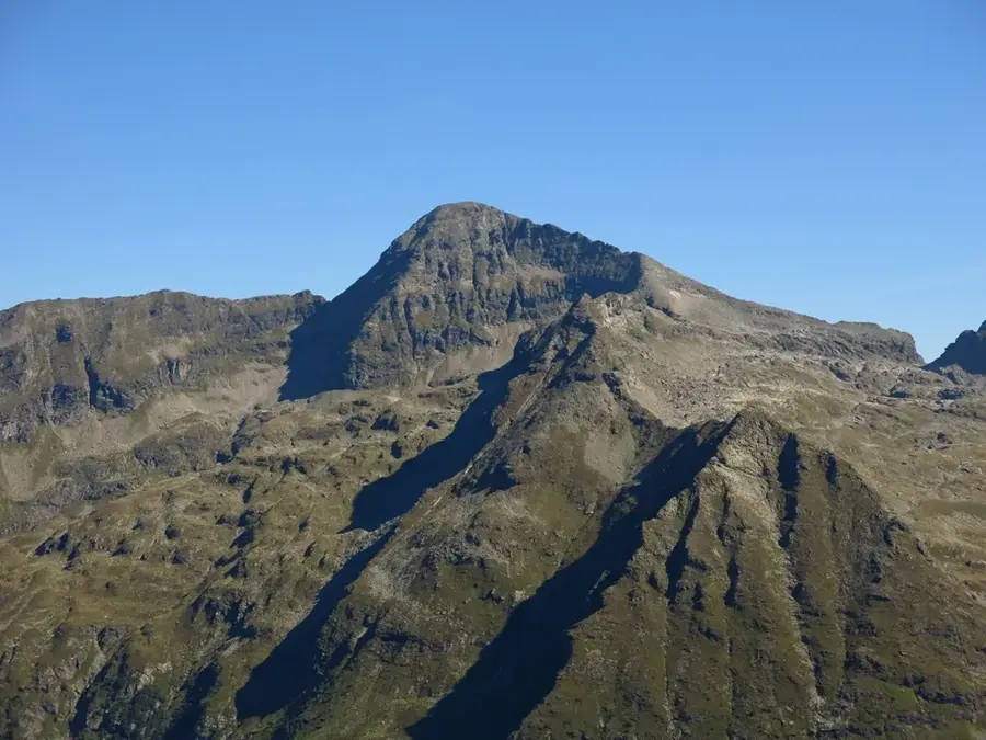
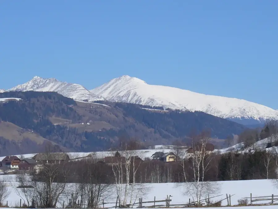
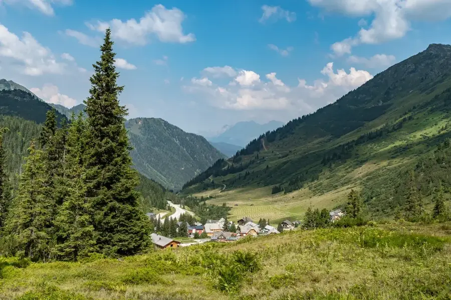
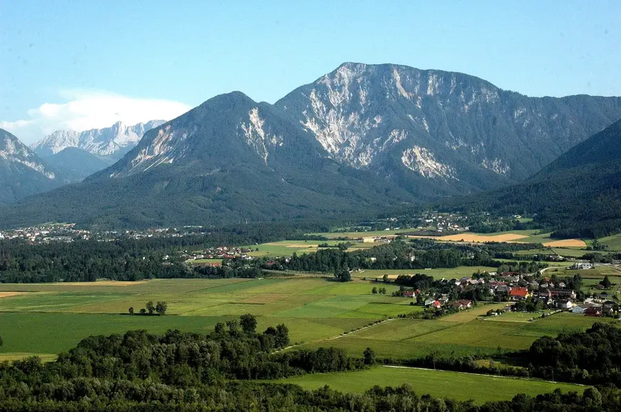
Planneralm is Styria's highest ski village, located on a high plateau within the Rottenmann Tauern at an elevation of 1,600 meters. The area is distinguished by its reliable snow cover and its commitment to using 100% natural snow, making it a sanctuary for winter sports purists. Geologically, the region is characterized by the crystalline rocks of the Central Alps, such as mica schist and gneiss, which create a smoother topography than the neighboring limestone ranges. Beyond winter sports, Planneralm is a popular summer hiking destination famous for its mountain pine distillery, where high-quality essential oils are produced from local pines. Historically used for alpine farming since the Middle Ages, the area was developed for tourism during the 20th century. Its secluded location ensures exceptional air quality and supports a rich variety of alpine flora, including several protected species. Hiking trails from the village lead to surrounding peaks like Karlspitz and Plannereck, offering wide views over the Niedere Tauern.
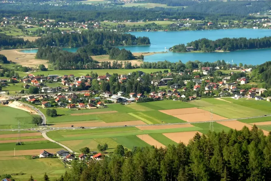
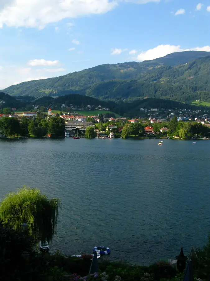
- Location: Carinthia, Austria
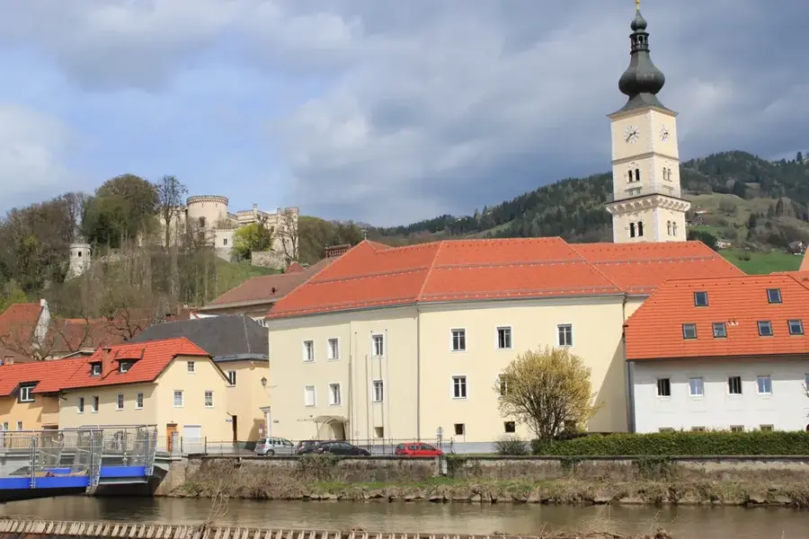
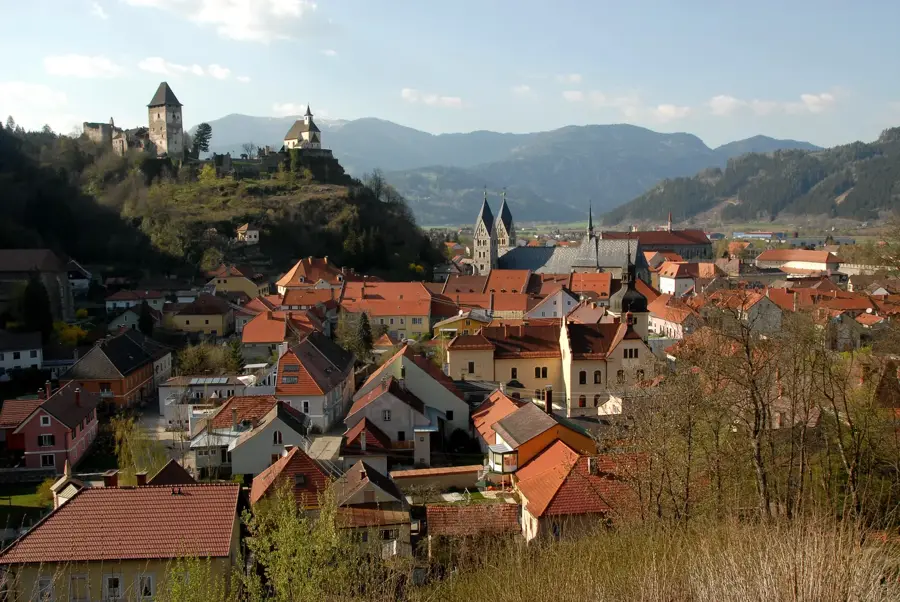
- Top sights: Schloss Donnersbach · Hochstein · Mölbegg
- Nearby: Liezen (16 km)
Best time to visit & climate
The most pleasant time to visit is Jun–Aug.
| Jan | Feb | Mar | Apr | May | Jun | Jul | Aug | Sep | Oct | Nov | Dec | |
|---|---|---|---|---|---|---|---|---|---|---|---|---|
| Avg °C | -5 | -5 | -1 | 4 | 9 | 13 | 15 | 14 | 10 | 6 | 1 | -4 |
| Rain mm | 82 | 67 | 81 | 75 | 140 | 167 | 177 | 175 | 132 | 96 | 73 | 76 |
📋 Practical info
Geography
Facts
- Planneralm is situated at an altitude of 1,600 m above sea level.
- It is the highest ski village in the state of Styria.
- The ski resort relies 100% on natural snow without artificial canons.
- The traditional mountain pine distillery has been active since 1930.
- The highest point reachable by ski lifts is 2,200 m.
- Geologically, the area is part of the crystalline Central Alps.
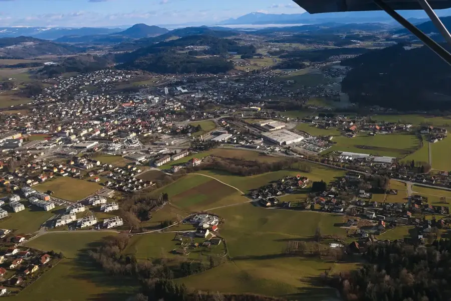
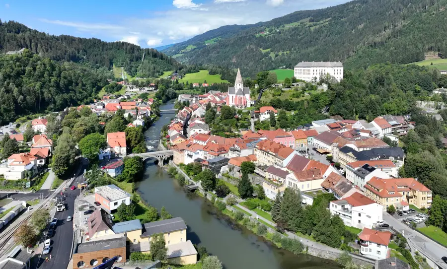
Explore nearby
Notable places around
Route planner — Car & Motorhome
Where do you start? We build the route here, with stops and country notes along the way.
© OpenStreetMap contributors · OpenRouteService
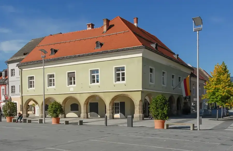
Sights in the town Planneralm (4)
Sights nearby
Frequently asked questions
What is the Planneralm?
Do they use artificial snow there?
What is the 'Dwarf Pine Distillery'?
Can you hike there in summer?
Is the area suitable for families?
Planneralm: where is it located?
Planneralm: what is there to see?
Planneralm: when is the best time to visit?
Planneralm: why is it worth visiting?

Nearby cities


History & landmarks
More places