Plizio Visual Lab
Sierra de Perijá

Weather…
Water temperature…
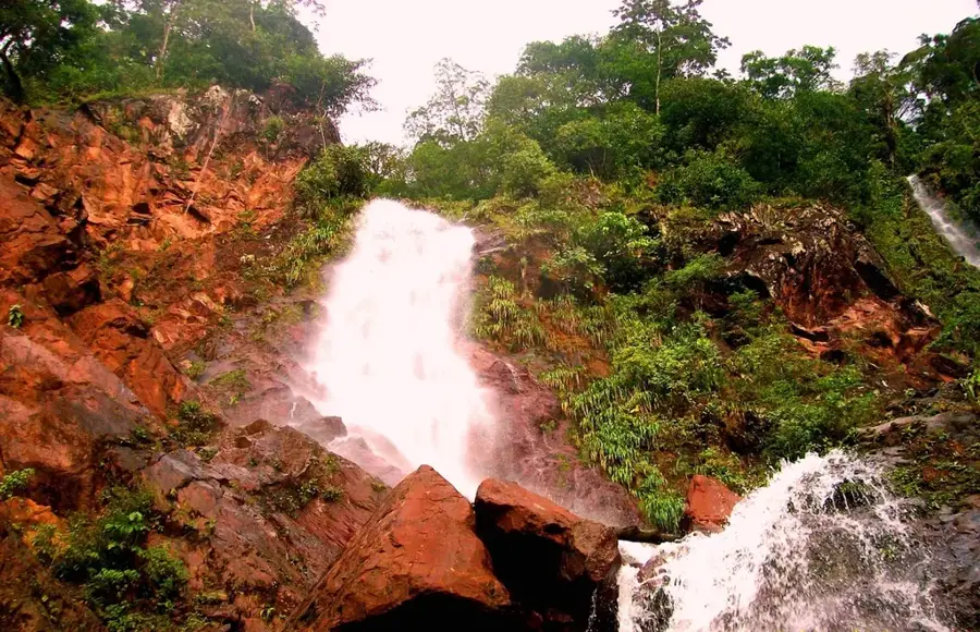
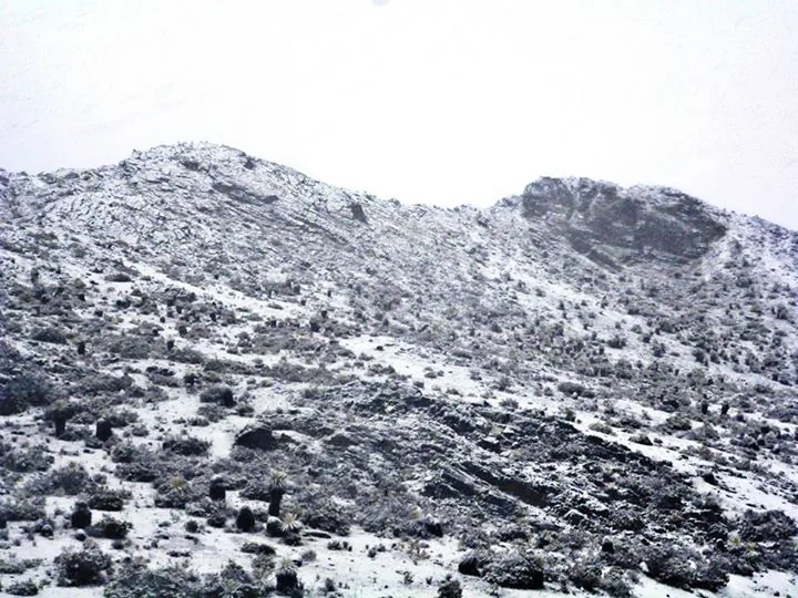
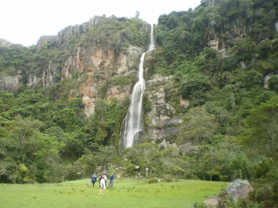
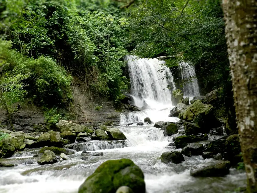
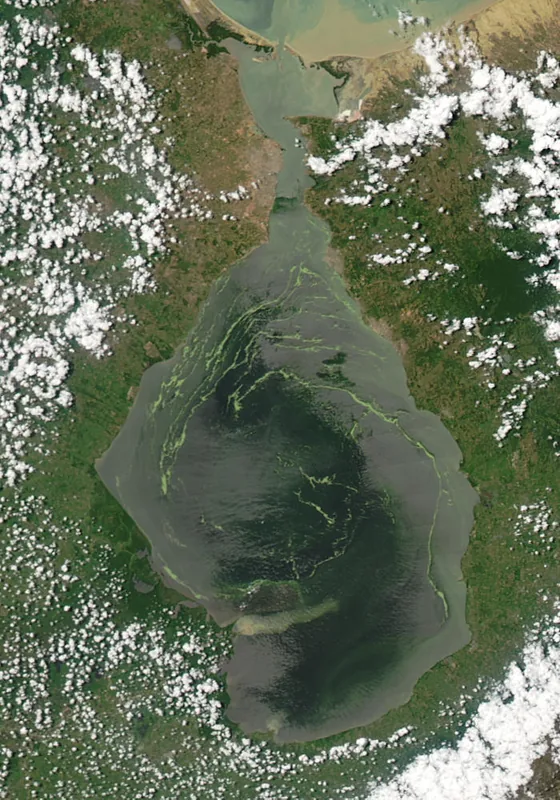
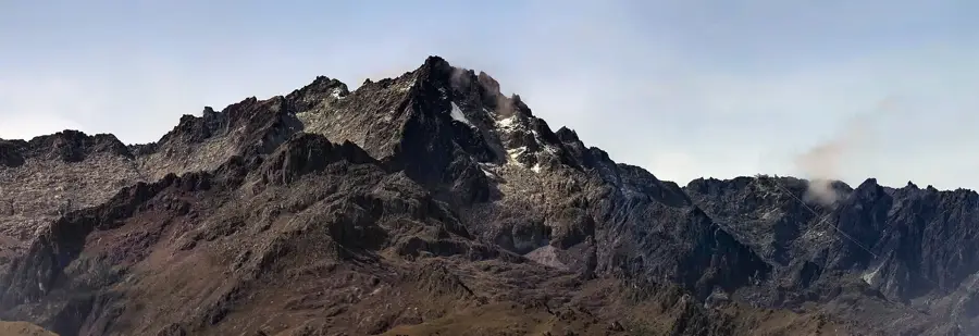
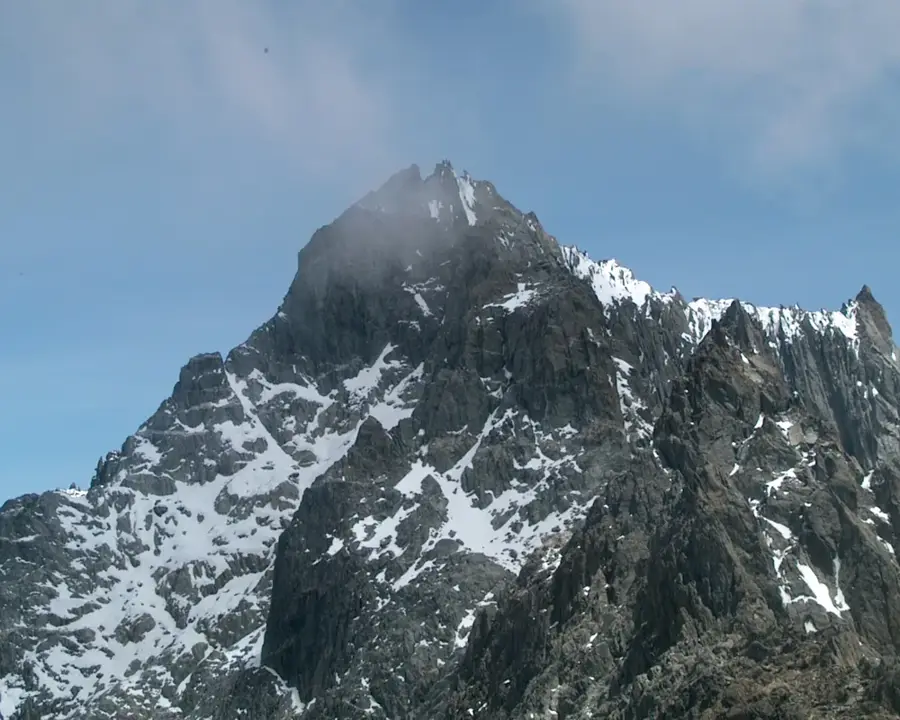
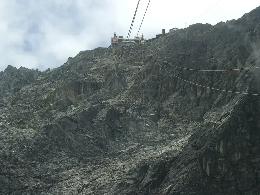
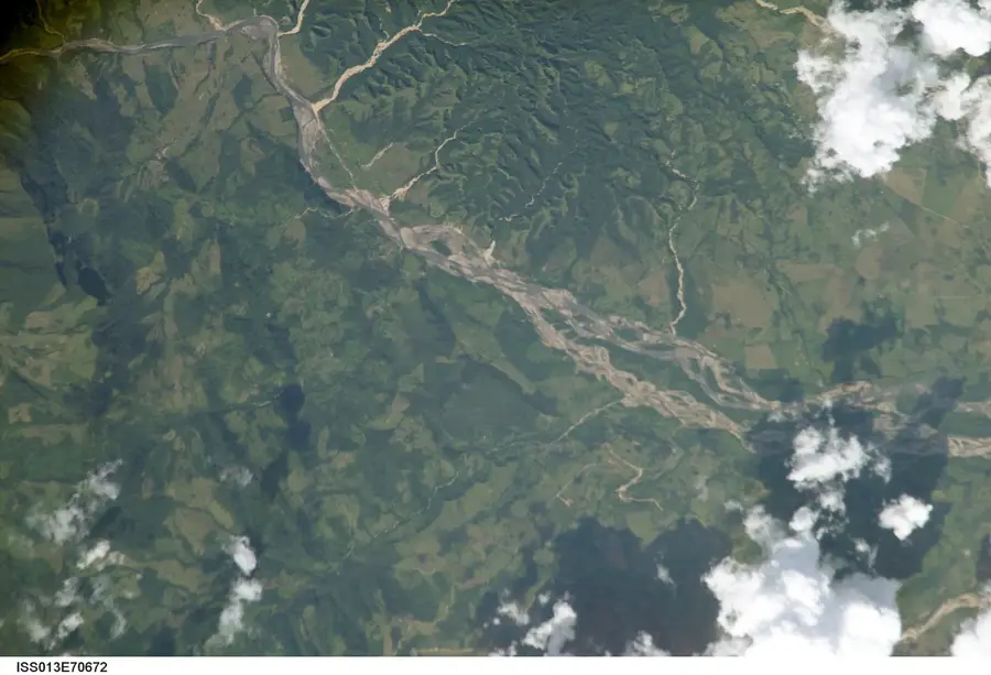
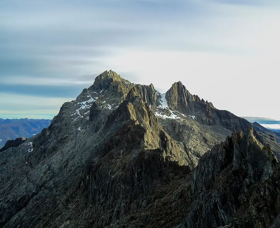
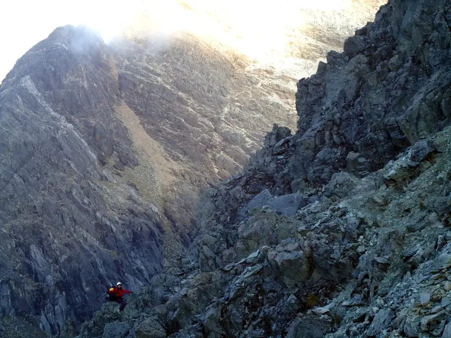
The Sierra de Perijá is a major mountain range forming the natural border between Venezuela and Colombia, serving as a northern extension of the Andean Cordillera. Stretching approximately 310 kilometers in length, the range reaches its maximum elevation at Pico Tetari, which stands at about 3,750 meters. Geologically, the region is complex, comprising sedimentary and metamorphic rocks rich in mineral resources and significant coal seams, particularly in the El Guasare area. The Sierra is renowned for its extraordinary biodiversity, hosting numerous endemic bird and mammal species, which led to the establishment of the Sierra de Perijá National Park in 1978. Historically, this area is the ancestral home of the Bari and Yukpa indigenous peoples, who have preserved their traditional lifestyles within the dense cloud forests despite external pressures. The relief is defined by steep slopes, deep canyons, and numerous rivers that drain into the fertile plains of the Maracaibo Basin. Due to its rugged topography and cross-border political dynamics, the Sierra remains one of the least explored and most ecologically intact regions in South America.
Best time to visit & climate
The most pleasant time to visit is Jan, Feb, Dec.
| Jan | Feb | Mar | Apr | May | Jun | Jul | Aug | Sep | Oct | Nov | Dec | |
|---|---|---|---|---|---|---|---|---|---|---|---|---|
| Avg °C | 22 | 23 | 23 | 24 | 23 | 23 | 23 | 24 | 23 | 22 | 22 | 22 |
| Rain mm | 7 | 8 | 27 | 55 | 123 | 72 | 56 | 75 | 91 | 143 | 90 | 37 |
📋 Practical info
Geography
Facts
- Maximum elevation: 3,750 meters (Pico Tetari).
- Total length: approximately 310 kilometers.
- National Park established in 1978.
- Home to the indigenous Bari and Yukpa peoples.
- Site of major coal deposits in the El Guasare region.
- Serves as the natural border with Colombia.
Explore nearby
Notable places around
Route planner — Car & Motorhome
Where do you start? We build the route here, with stops and country notes along the way.
© OpenStreetMap contributors · OpenRouteService
Sights nearby
Frequently asked questions
Is the Sierra de Perijá safe?
What is the special feature here?
Are there tourist accommodations there?
Is hiking allowed there?
How is the climate?
Sierra de Perijá: where is it located?
Sierra de Perijá: when is the best time to visit?
Sierra de Perijá: why is it worth visiting?

Nature

More places