Plizio Visual Lab
Pico Toro
Weather…
Water temperature…
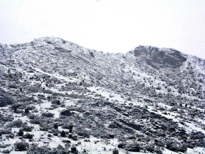
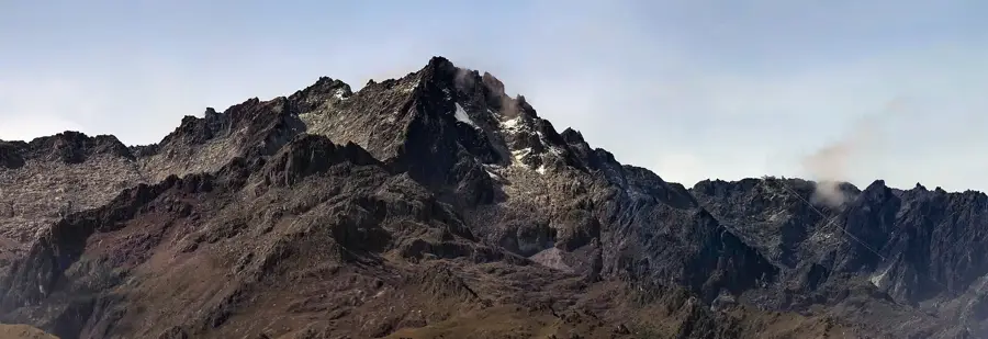
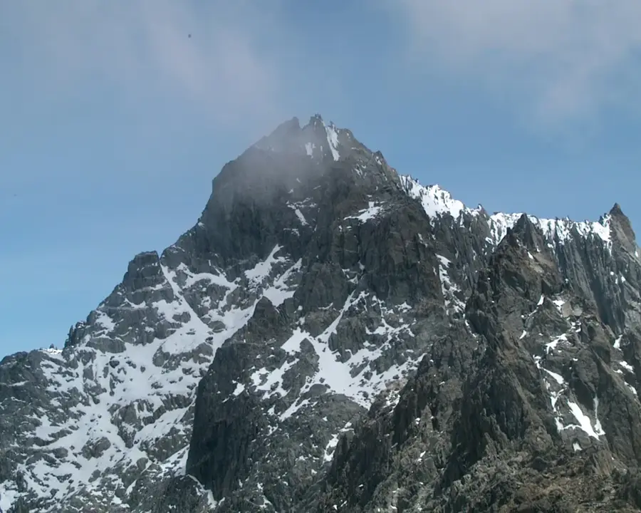
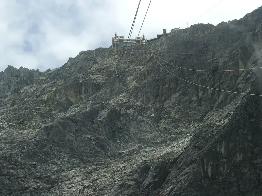
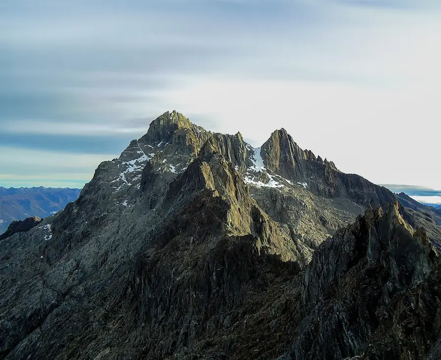
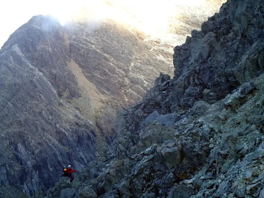
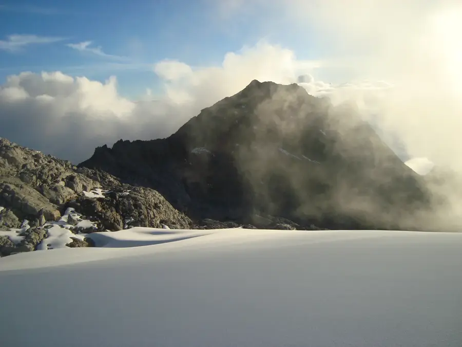
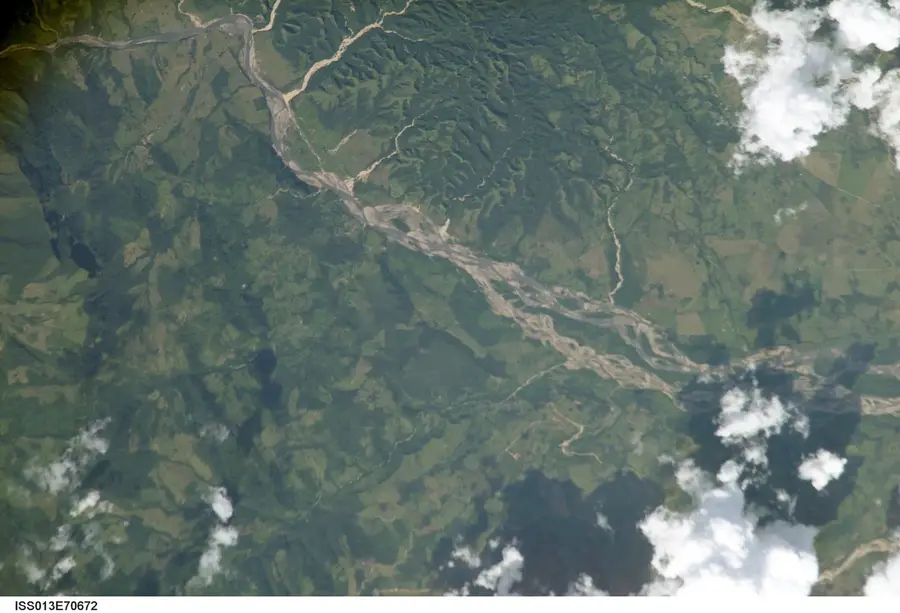
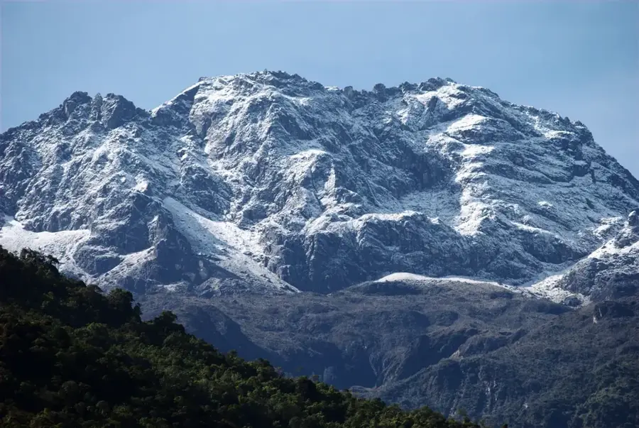
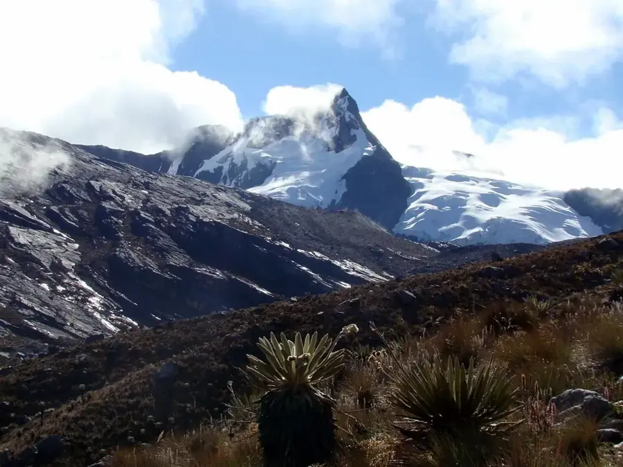
Pico Toro stands at an elevation of 4,755 meters, making it one of the major peaks in the Sierra Nevada de Mérida of Venezuela. It marks the western end of the main chain of the highest summits and is part of the legendary 'Five White Eagles' group. Climbing Pico Toro is a popular challenge for alpinists due to its steep approaches and the unpredictable Andean weather. Geologically, the mountain is composed of ancient metamorphic rocks that have been shaped by intense glacial erosion. The vegetation on its lower slopes is dominated by dense fields of frailejones, which are characteristic of the Venezuelan paramo ecosystem. Despite the general decline of snow cover in the Andes, the summit area often retains a harsh, wintry atmosphere. Pico Toro has excellent panoramic views of the city of Mérida and its surrounding valleys. As an integral part of the Sierra Nevada National Park, it helps protect unique high-altitude environments.
Best time to visit & climate
The most pleasant time to visit is Jan–Mar.
| Jan | Feb | Mar | Apr | May | Jun | Jul | Aug | Sep | Oct | Nov | Dec | |
|---|---|---|---|---|---|---|---|---|---|---|---|---|
| Avg °C | 17 | 18 | 18 | 18 | 18 | 17 | 17 | 17 | 18 | 17 | 17 | 17 |
| Rain mm | 30 | 35 | 72 | 143 | 163 | 136 | 119 | 115 | 135 | 156 | 133 | 68 |
📋 Practical info
Geography
Facts
- Elevation of 4,755 meters above sea level
- Westernmost peak of the 4,700m+ chain
- Part of the 'Five White Eagles' group
- Located within the Sierra Nevada National Park
- First documented ascent achieved in 1910
- Composed of ancient metamorphic rock formations
Explore nearby
Notable places around
Route planner — Car & Motorhome
Where do you start? We build the route here, with stops and country notes along the way.
© OpenStreetMap contributors · OpenRouteService
Sights in the town Pico Toro (1)
Sights nearby
Frequently asked questions
How difficult is climbing Pico Toro?
When is the best weather for the summit?
Do you need a permit for Pico Toro?
What is the best gear?
Are there water sources on the mountain?
Pico Toro: where is it located?
Pico Toro: when is the best time to visit?
Pico Toro: why is it worth visiting?

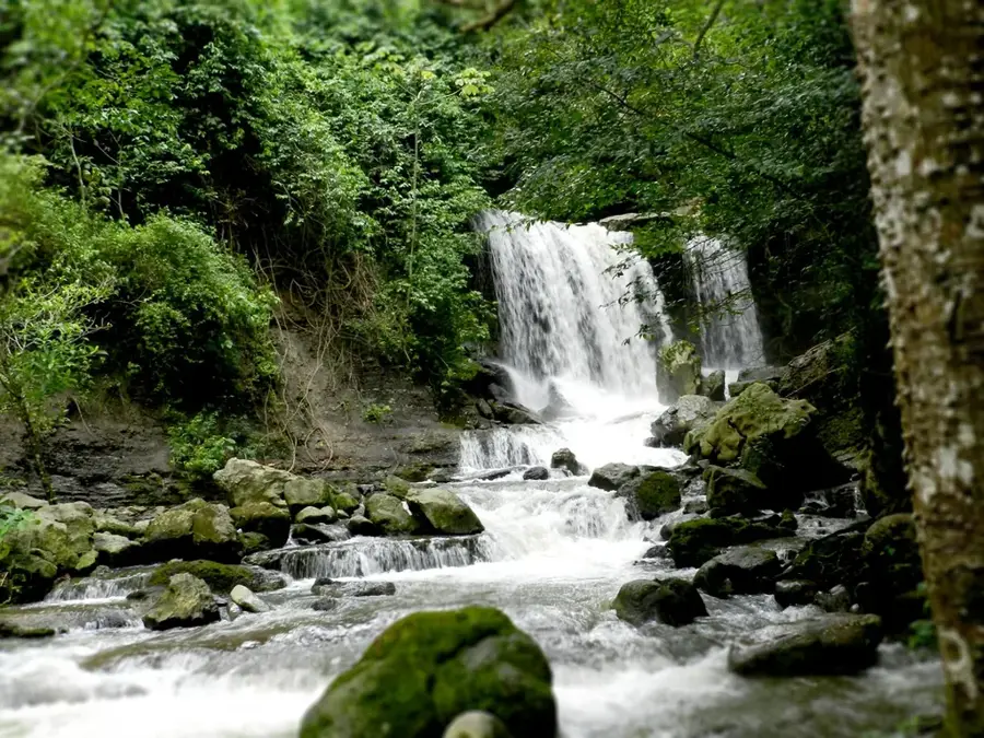
Nature
More places