Plizio Visual Lab
Buhweju

ℹ️Practical info — Buhweju
▾
🌤 Weather — 5 days
📍 Nearby
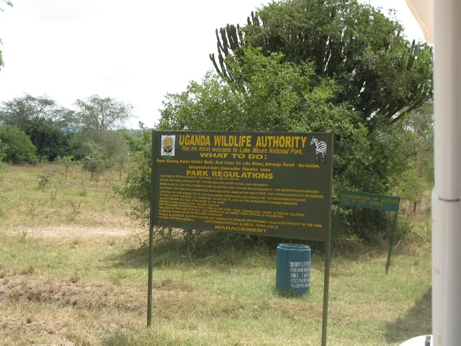
Sights nearby
💡 Tips
- Expect hilly terrain, so sturdy walking shoes are absolutely essential.
- The area is famous for its tea plantations; ask locals for a guided walk.
- Transport is mainly by boda-boda (motorcycle taxis); always negotiate your fare beforehand.
- It gets quite chilly in the evenings due to the altitude, so bring a light jacket.
🍽 Food
Try this traditional steamed green banana dish at a local eatery.
A popular street food of chapati rolled with an omelette, found at roadside stalls.
Sip freshly brewed Ugandan tea at a village cafe.
🛍 Shopping · 🧘 Quiet spots
Buy fresh produce and everyday items straight from the farmers.
Purchase locally grown tea leaves directly from the source as a souvenir.
Walk along the quiet hillsides overlooking the endless tea fields.
Relax on the peaceful trails connecting the small rural settlements.
Water temperature…
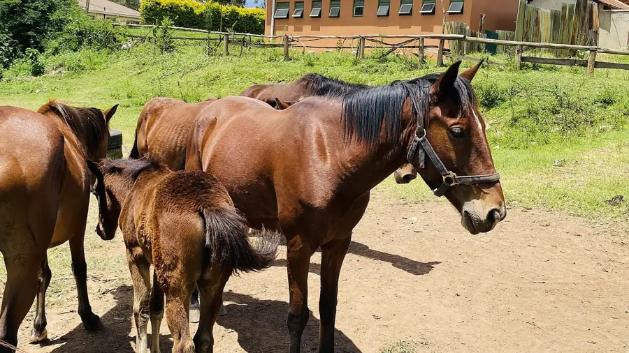
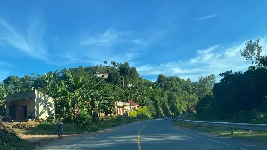
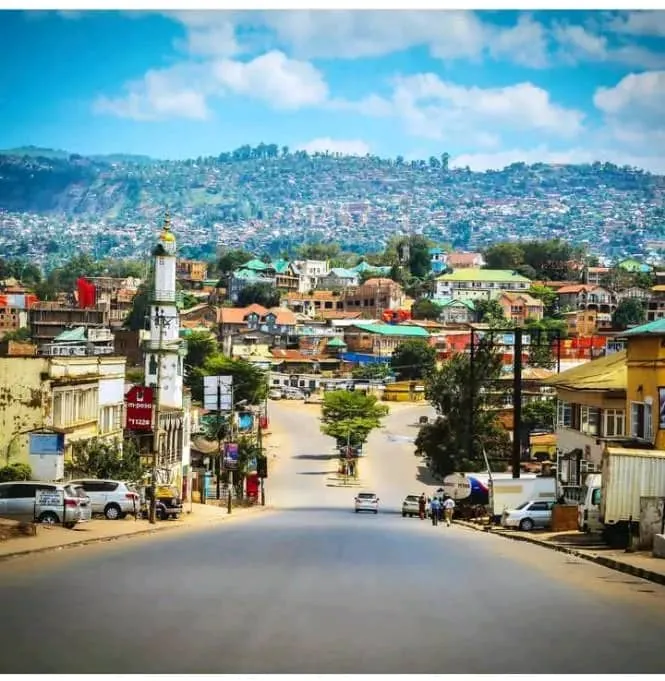
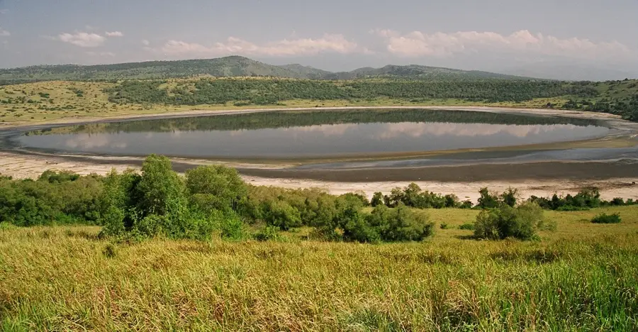
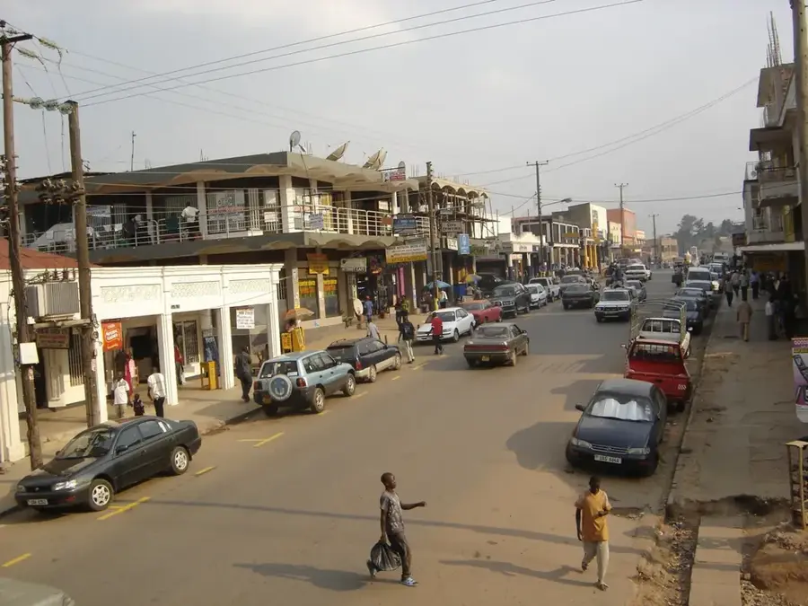
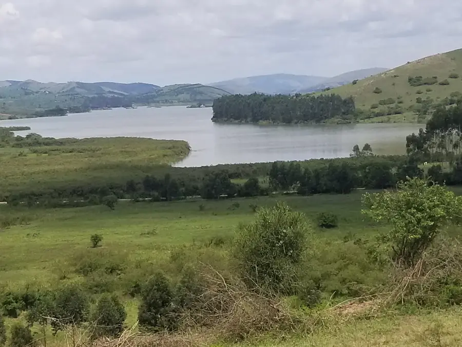
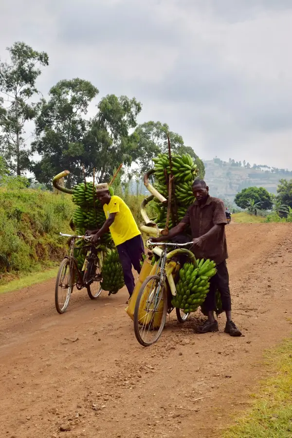
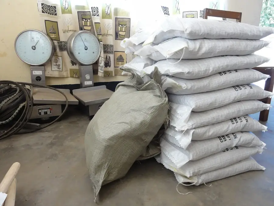
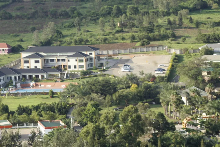
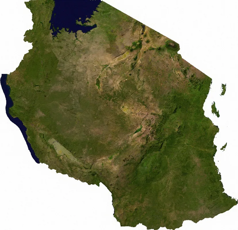
Buhweju is a town located in the Western Region of Uganda, serving as the main administrative and commercial hub of the Buhweju District. Situated in a rugged, hilly landscape, the area is renowned for its lush greenery and relatively cool climate compared to the surrounding lowlands. The economy is heavily centered on agriculture, particularly the large-scale cultivation of tea, which covers many of the district's slopes. Small-scale gold mining is another significant economic activity that has historically drawn people to the region. The town itself acts as a vital collection point for agricultural produce, where local farmers trade bananas, coffee, and various food crops. Buhweju features a glimpse into rural Ugandan life, characterized by bustling markets and a strong sense of community. The scenic views of the rolling hills and the traditional farming practices make it a unique destination for those exploring the highlands of western Uganda and the heritage of the Ankole region.
- Location: Uganda
- Nearby: Bushenyi (22 km)
Best time to visit & climate
The most pleasant time to visit is Jan, Jun, Jul.
| Jan | Feb | Mar | Apr | May | Jun | Jul | Aug | Sep | Oct | Nov | Dec | |
|---|---|---|---|---|---|---|---|---|---|---|---|---|
| Avg °C | 21 | 22 | 21 | 20 | 20 | 20 | 20 | 21 | 21 | 21 | 20 | 21 |
| Rain mm | 68 | 72 | 125 | 129 | 105 | 42 | 43 | 72 | 96 | 122 | 131 | 87 |
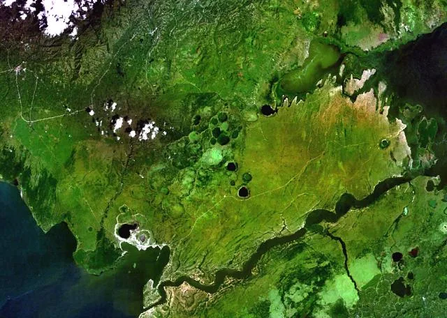
Geography
Facts
- Buhweju's population was 12,500 in the 2014 census.
- The town is located at an elevation of 1,400 meters.
- Buhweju District covers an area of 808 square kilometers.
- Annual coffee production is 2,000 tons.
- Average annual rainfall is 1,200 mm.
- The nearest major city is Mbarara, 30 km away.
Explore nearby
Notable places around
Route planner — Car & Motorhome
Where do you start? We build the route here, with stops and country notes along the way.
© OpenStreetMap contributors · OpenRouteService
Frequently asked questions
How long should one visit Buhweju?
When is the weather best in Buhweju?
What is the best way to travel to Buhweju?
What local cuisine does Buhweju offer?
Is Buhweju family-friendly?
Buhweju: where is it located?
Buhweju: when is the best time to visit?
Buhweju: why is it worth visiting?

Nearby cities
History & landmarks
Nature
More places