Plizio Visual Lab
Isasha River

Weather…
Water temperature…
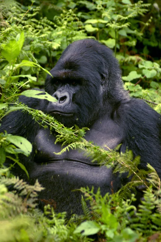
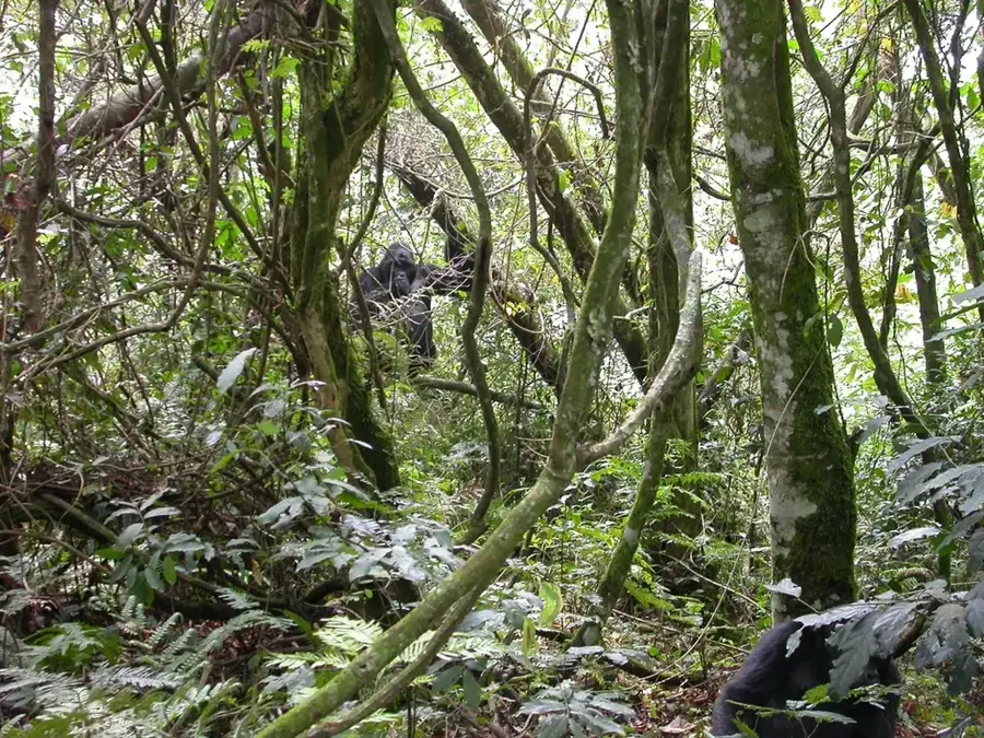
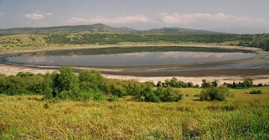
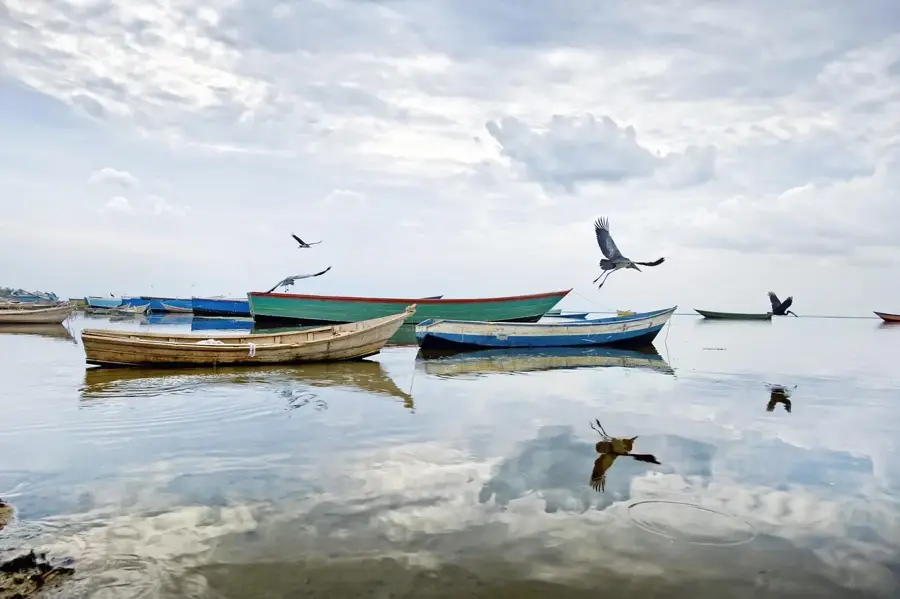
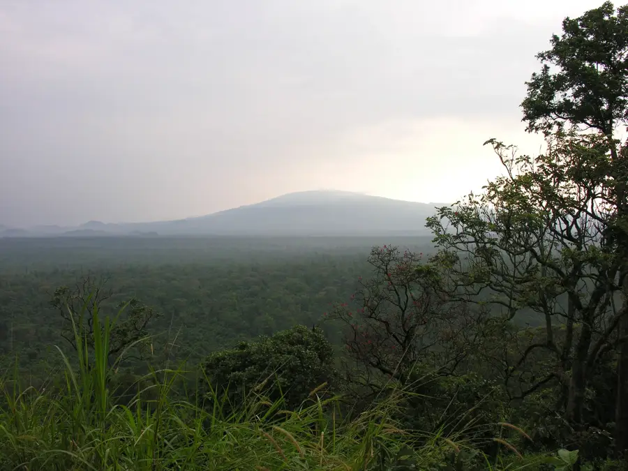
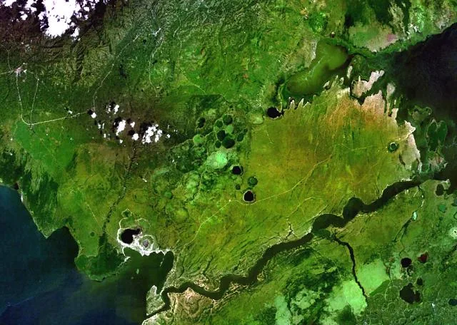
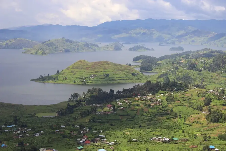
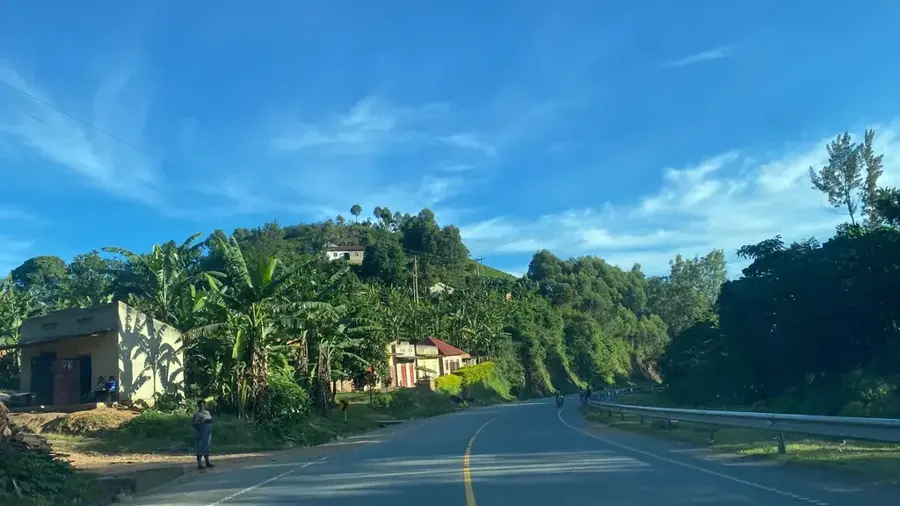
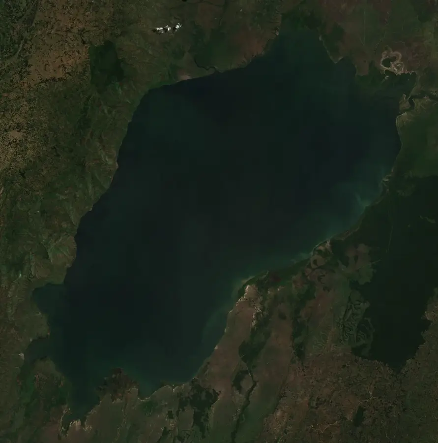
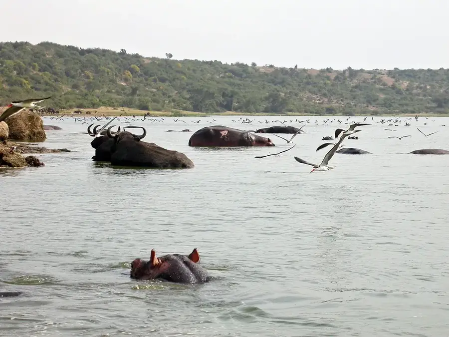
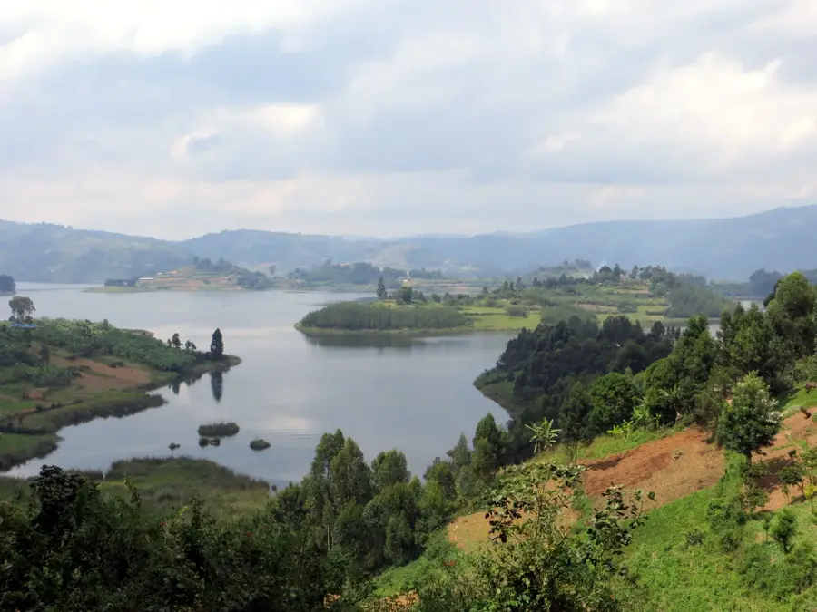
The Isasha River is a river in the Albertine Rift that forms the international border between Uganda and the Democratic Republic of the Congo. It originates in the northern part of Bwindi Impenetrable National Park in Uganda and flows north to empty into Lake Edward. The river is most famous for passing through the southern sector of Queen Elizabeth National Park, a region renowned for its tree-climbing lions. This unique lion population is often spotted lounging in the branches of large fig and acacia trees along the river, a behavior seen in only a few locations in Africa. The riverbanks and surrounding savanna are a rich habitat for a variety of wildlife, including elephants, buffalo, hippos, crocodiles, and a great diversity of bird species. The Isasha sector features a more remote and wilder safari experience compared to the northern parts of Queen Elizabeth National Park. The river itself is a vital component of the ecosystem, providing water for the region's wildlife.
- Location: Uganda
- Nearby: Buhoma (36 km)
Best time to visit & climate
The most pleasant time to visit is Jan, Jun, Jul.
| Jan | Feb | Mar | Apr | May | Jun | Jul | Aug | Sep | Oct | Nov | Dec | |
|---|---|---|---|---|---|---|---|---|---|---|---|---|
| Avg °C | 22 | 23 | 23 | 22 | 22 | 22 | 22 | 22 | 22 | 22 | 21 | 22 |
| Rain mm | 78 | 86 | 137 | 125 | 107 | 69 | 61 | 108 | 141 | 162 | 154 | 100 |
📋 Practical info
Geography
Facts
- The river forms the border between Uganda and the DRC.
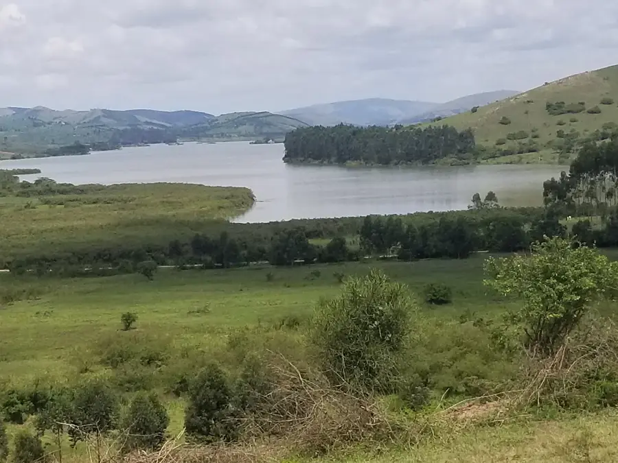
- It empties into Lake Edward.
- The Isasha sector is famous for its tree-climbing lions.
- The river is a habitat for hippos and Nile crocodiles.
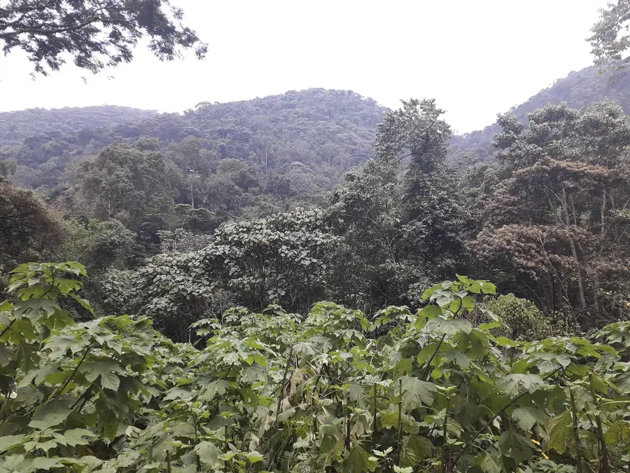
- It originates in Bwindi Impenetrable National Park.
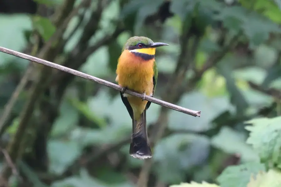
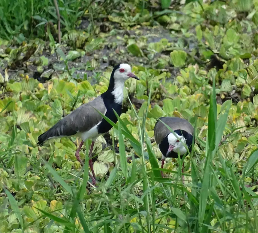
- Over 600 bird species have been recorded in Queen Elizabeth National Park, many along the river.
Explore nearby
Notable places around
Route planner — Car & Motorhome
Where do you start? We build the route here, with stops and country notes along the way.
© OpenStreetMap contributors · OpenRouteService
Sights nearby
Frequently asked questions
Where is the Isasha River?
Can you see animals there?
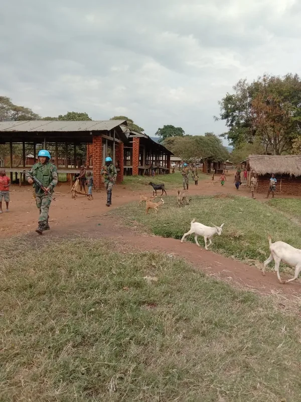
Is it safe to visit the river?
How do you get there?
Are there accommodations there?
Isasha River: where is it located?
Isasha River: when is the best time to visit?
Isasha River: why is it worth visiting?

Nearby cities

Nature

More places