Plizio Visual Lab
Kagitumba
ℹ️Practical info — Kagitumba
▾
🌤 Weather — 5 days
📍 Nearby
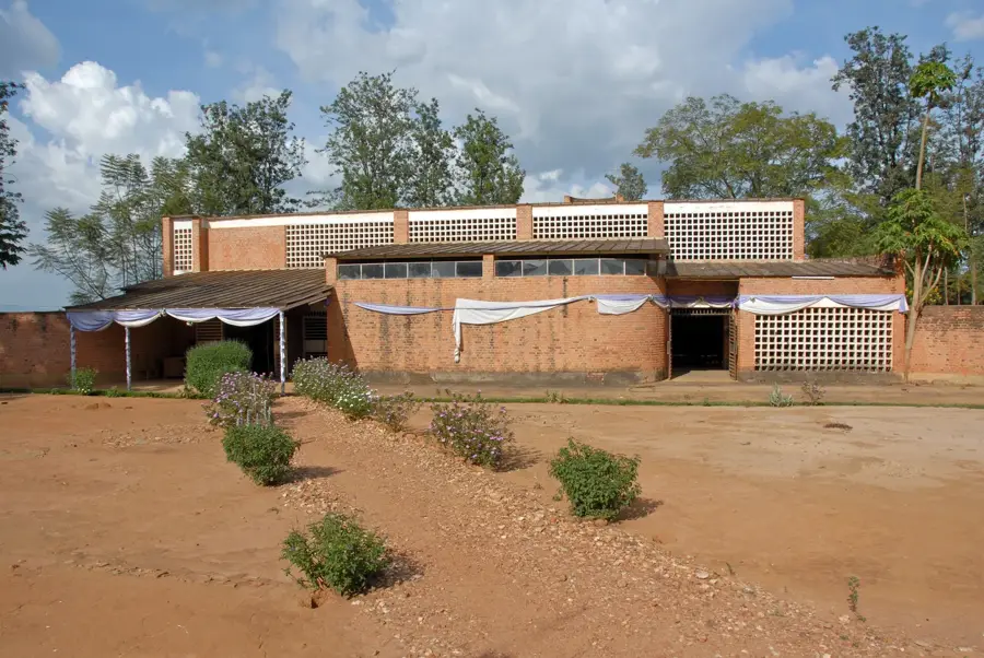
Sights nearby
💡 Tips
- Use the East Africa Tourist Visa if you plan to travel between the bordering countries.
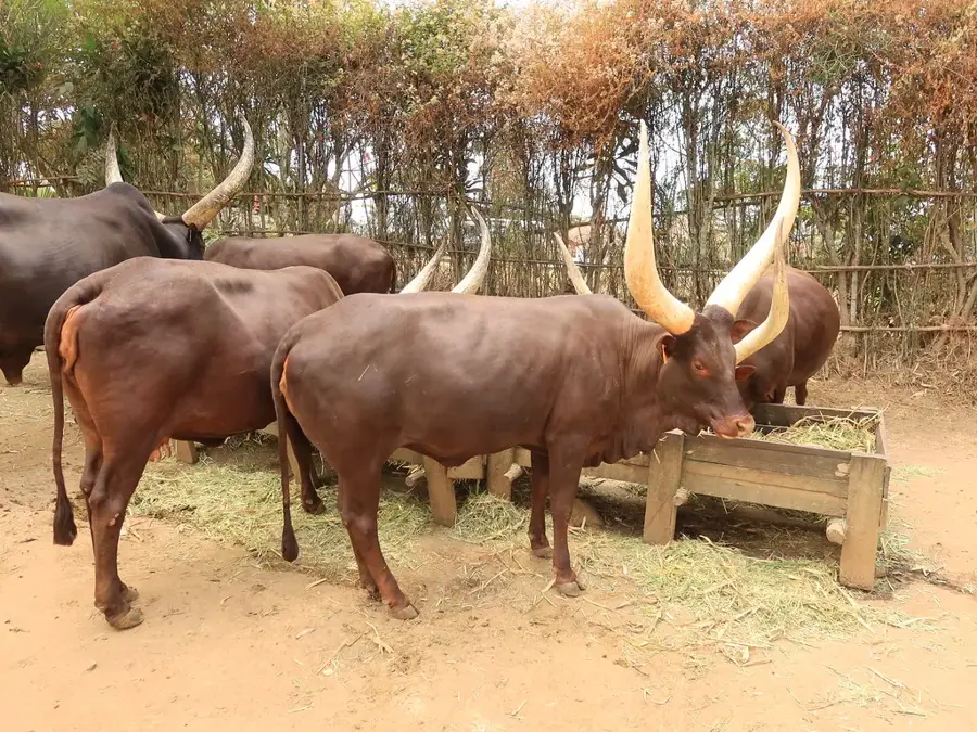
- Look out for the large herds of long-horned Ankole cattle, typical for this flatter region.
- Drink plenty of water, as it is significantly hotter and drier here than in the Rwandan highlands.
- Inquire locally about safety near the Akagera riverbanks before exploring on foot.
🍽 Food
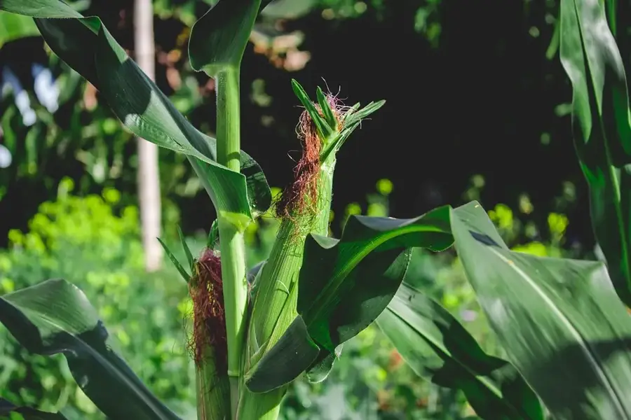
Try the traditional Rwandan curdled milk, which is exceptionally fresh in this cattle-rearing region.
Enjoy local beef at the small grill houses located in the village center.
Many stalls offer fresh milk, often brought directly from the nearby farms.
🛍 Shopping · 🧘 Quiet spots
Visit the market on trading days to see the impressive Ankole cattle up close.
Purchase high-quality dairy products directly from local producer cooperatives.
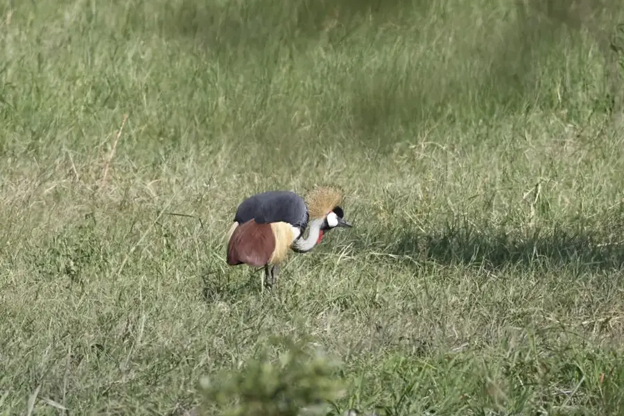
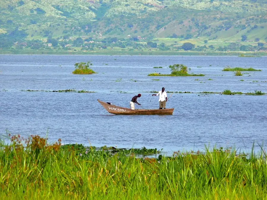
A calm spot for nature observation, but maintain a safe distance from the water.
Walks on the edge of town offer wide views over the flat grassland landscape.
Water temperature…
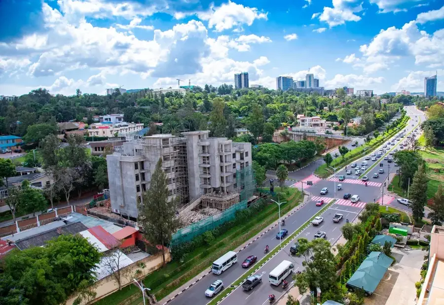
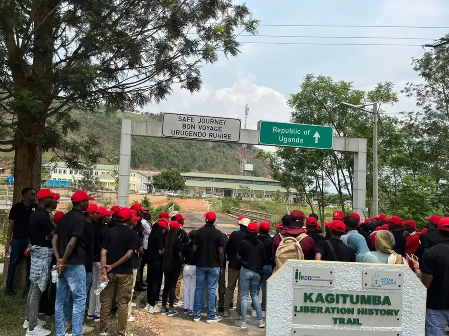
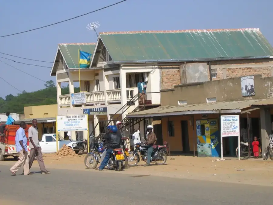
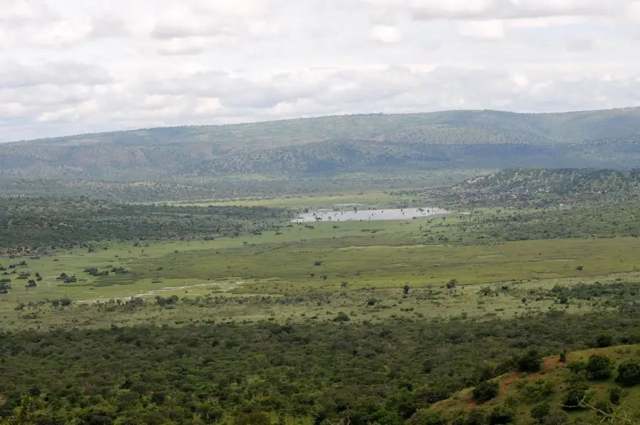
Kagitumba is a town in the northeasternmost tip of Rwanda, at the tri-border point with Uganda and Tanzania. The town is located on the banks of the Akagera River, which forms the border here. Kagitumba is an important border crossing to Uganda and a gateway to the northern route to Tanzania. Its strategic location makes it an important center for regional trade. Similar to Gatuna, a 'One-Stop Border Post' has also been established here to facilitate the movement of goods and people. The landscape around Kagitumba is typical of the eastern savannah of Rwanda, flat and dry. The town's economy is focused on trade, transport, and services for travelers and traders. The development of the town is closely linked to the stability and growth of trade in the East African Community.
- Location: Rwanda
- Nearby: Nyagatare (26 km)
Best time to visit & climate
The most pleasant time to visit is Jun–Aug.
| Jan | Feb | Mar | Apr | May | Jun | Jul | Aug | Sep | Oct | Nov | Dec | |
|---|---|---|---|---|---|---|---|---|---|---|---|---|
| Avg °C | 21 | 22 | 21 | 20 | 20 | 20 | 20 | 21 | 21 | 21 | 20 | 21 |
| Rain mm | 78 | 80 | 137 | 141 | 109 | 43 | 38 | 61 | 93 | 130 | 136 | 99 |
Geography
Facts
- Located at the tri-border point of Rwanda, Uganda, and Tanzania.
- Important border crossing to Uganda.
- Located on the banks of the Akagera River.
- Has a 'One-Stop Border Post'.
- Important for regional trade.
- Flat and dry savannah landscape.
Explore nearby
Notable places around
Route planner — Car & Motorhome
Where do you start? We build the route here, with stops and country notes along the way.
© OpenStreetMap contributors · OpenRouteService
Sights in the town Kagitumba (1)
Frequently asked questions
Where is Kagitumba located?
Is Kagitumba touristically developed?
What is this place primarily used for?
Are there accommodations there?
Is it safe to travel through Kagitumba?
Kagitumba: where is it located?
Kagitumba: when is the best time to visit?
Kagitumba: why is it worth visiting?

Nearby cities
History & landmarks


More places