Plizio Visual Lab
Ntungamo
ℹ️Practical info — Ntungamo
▾
🌤 Weather — 5 days
📍 Nearby
Sights nearby
💡 Tips
- Order your food at local restaurants in advance as meals are often cooked to order and can take up to an hour.
- Always bargain respectfully at the Ntungamo Central Market; it is a standard part of the local shopping experience.
- Take a boda-boda (motorcycle taxi) to reach Karegyeya Rock, as it is a bit of a distance from the town center.
- Climb Kyamate Hill in the late afternoon for a bird's-eye view of the town and surrounding valleys.
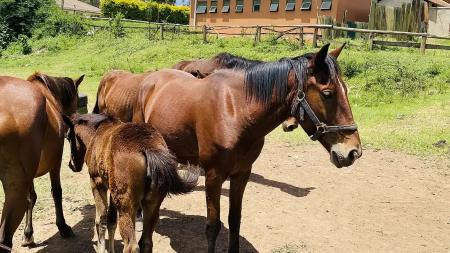
- The area is famous for cattle, so try to visit a nearby farm to see the iconic long-horned Ankole cows.
🍽 Food
A traditional Banyankole ghee sauce, best enjoyed with matooke or millet bread (kalo) at spots like Jerusalem Trees.
Flavorful meat from the local long-horned cattle, often served grilled or in a rich stew.
Steamed green bananas served with a creamy purple groundnut sauce, a staple in southwestern Uganda.
🛍 Shopping · 🧘 Quiet spots
The hub for fresh local produce; look for the incredibly sweet pineapples and passion fruits.
A great place to find authentic Ankole crafts, including woven baskets and traditional milk gourds.
Found along the main highway, these are great for picking up fresh roasted plantains (gonja) or honey.
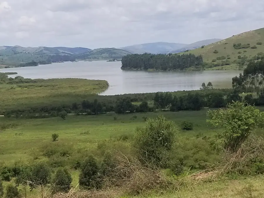
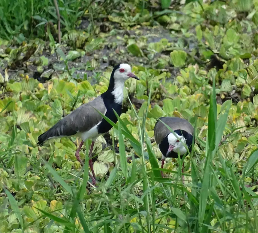
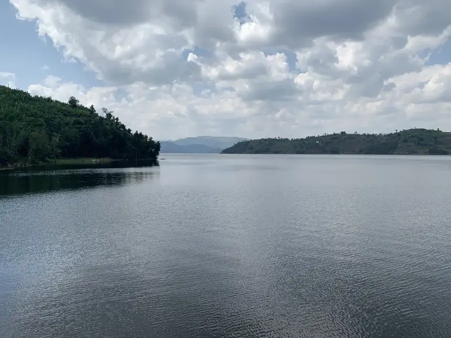
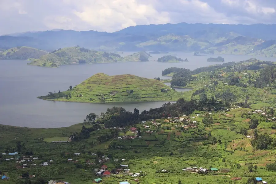
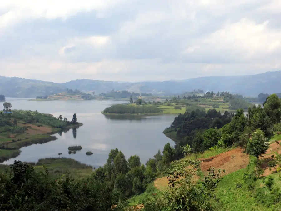
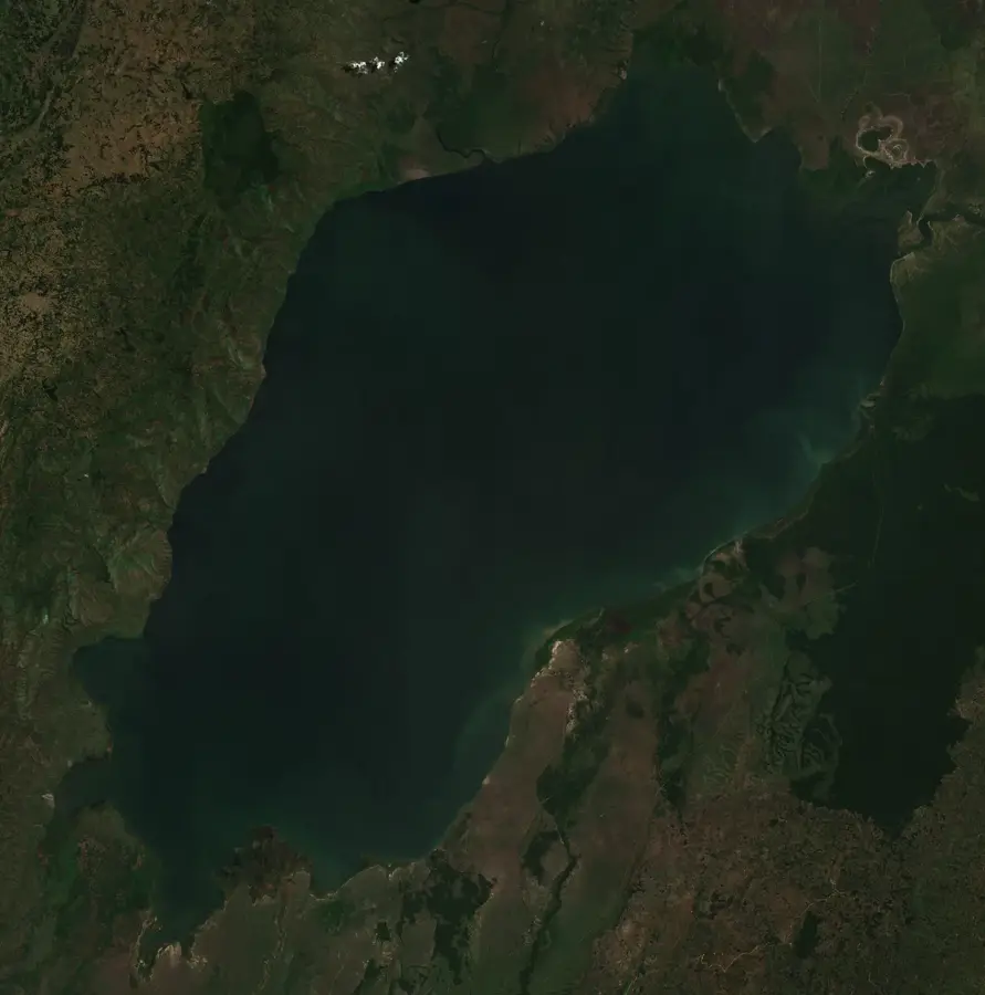
A memorable, heart-shaped lake surrounded by hills, offering peace and great birdwatching opportunities.
A massive rock formation with a cave, first-rate for a quiet hike and reflecting on local folklore.
A serene spot for a late afternoon walk with panoramic views of the entire Ntungamo landscape.
Water temperature…
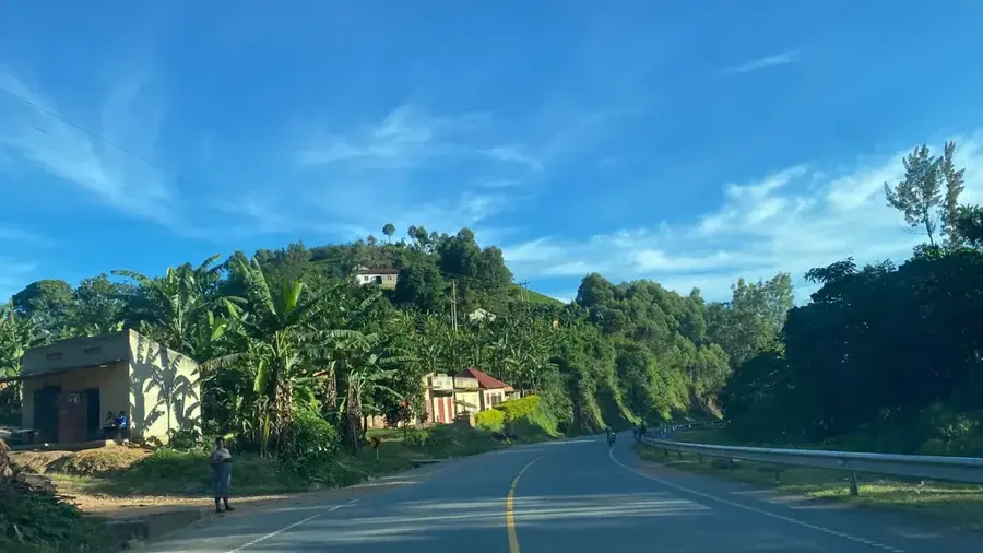
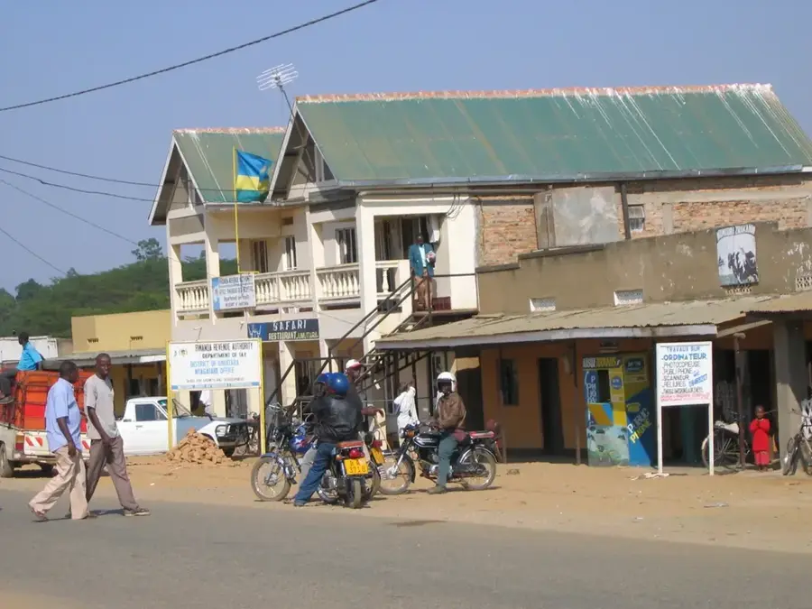
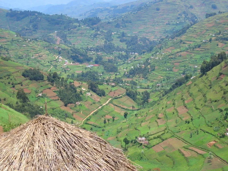
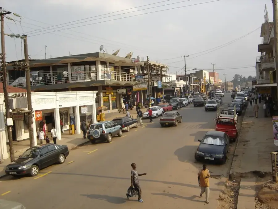
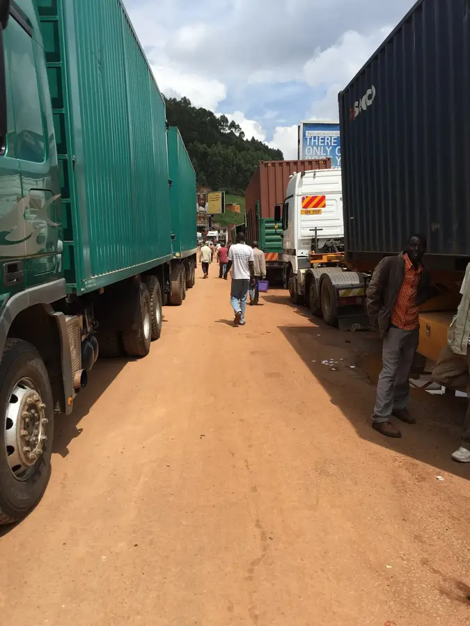
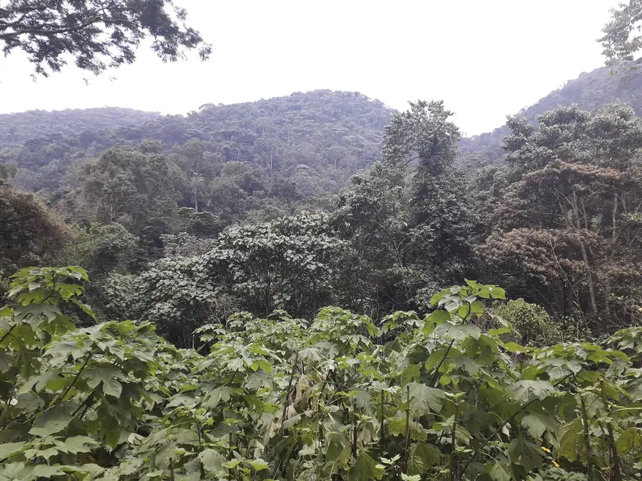
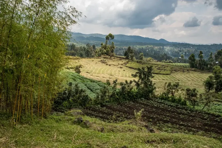
Ntungamo is a rapidly growing town in southwestern Uganda, serving as the administrative headquarters of the Ntungamo District. The town is strategically located at the intersection of routes leading to Rwanda and Tanzania, making it a crucial transit point for regional trade. Geographically, the landscape is defined by rolling hills and fertile valleys, providing well-suited conditions for large-scale agriculture. Cattle ranching, particularly the rearing of long-horned Ankole cattle, and the cultivation of matooke (bananas) are the primary economic activities of the local population. Ntungamo gained national prominence as the birthplace of several key political figures, most notably President Yoweri Museveni. Over the past few decades, the town has evolved from a small settlement into a bustling commercial hub with improved infrastructure and educational facilities. The cultural identity of the area is deeply rooted in Ankole traditions, which are evident in the local markets and architectural styles.
- Location: Uganda
- Top sights: Ntungamo District · Mbarara-Ntungamo-Kabale-Katuna Road
- Nearby: Bushenyi (35 km)
- Population: ~20.900 (2024)
Best time to visit & climate
The most pleasant time to visit is Jun–Aug.
| Jan | Feb | Mar | Apr | May | Jun | Jul | Aug | Sep | Oct | Nov | Dec | |
|---|---|---|---|---|---|---|---|---|---|---|---|---|
| Avg °C | 21 | 22 | 21 | 20 | 20 | 20 | 20 | 21 | 21 | 21 | 20 | 21 |
| Rain mm | 78 | 80 | 137 | 141 | 109 | 43 | 38 | 61 | 93 | 130 | 136 | 99 |
Geography
Facts
- Ntungamo lies along the main road connecting Mbarara and Kabale.
- The town is a key hub for cross-border trade with neighboring Rwanda.
- Over 70% of the district's income is derived from agricultural activities.
- Long-horned Ankole cattle are a hallmark of the local economy.
- The district was established in 1993 from parts of Mbarara and Bushenyi.
- Ntungamo is situated at an altitude of approximately 1,400 meters.
Explore nearby
Notable places around
Route planner — Car & Motorhome
Where do you start? We build the route here, with stops and country notes along the way.
© OpenStreetMap contributors · OpenRouteService
Sights in the town Ntungamo (2)
Frequently asked questions
What is the best way to visit Ntungamo?
What is the weather usually like?
Are there natural attractions there?
Is Ntungamo a good stopover?
What local specialty should I try?
Ntungamo: where is it located?
Ntungamo: what is there to see?
Ntungamo: when is the best time to visit?
Ntungamo: why is it worth visiting?

Nearby cities
History & landmarks
Nature

More places