Plizio Visual Lab
Rutshuru
ℹ️Practical info — Rutshuru
▾
🌤 Weather — 5 days
📍 Nearby
Sights nearby
💡 Tips
- Rutshuru is a gateway to Virunga National Park, but always check current local security advisories before traveling.
- The volcanic soil makes local produce exceptionally fresh; buy fruits directly from local farmers.
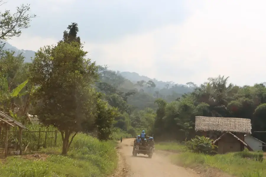
- Roads from Goma can be rough; consider traveling by a robust 4x4 vehicle.
- The town sits at a higher elevation, so mornings and evenings can be surprisingly cool-bring a light jacket.
🍽 Food
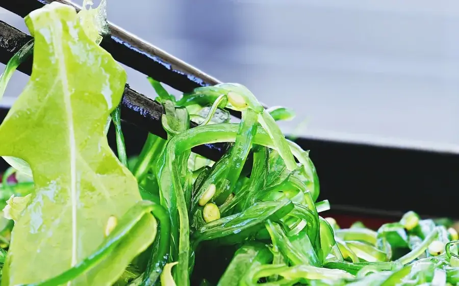
Try this traditional dish made from pounded cassava leaves, often served at small local eateries.
Look for local markets selling fresh vegetables and plantains grown in the surrounding fertile soil.
The staple carbohydrate, made from cassava or cornmeal, usually paired with stews at roadside food stalls.
🛍 Shopping · 🧘 Quiet spots
A bustling spot to buy fresh crops, local fabrics, and daily necessities.
Look around the main roads for artisans selling handmade baskets and wooden items.
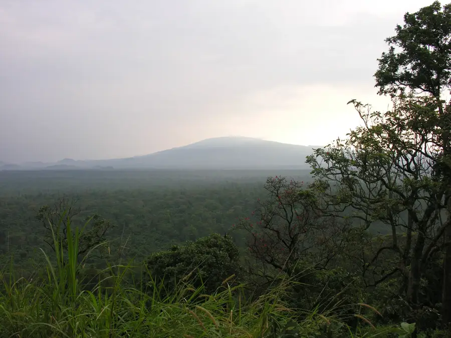
Walk slightly out of the town center to see the lush green hills and volcanic landscapes.
The areas around the main churches often provide a peaceful, shaded retreat from the busy market streets.
Water temperature…
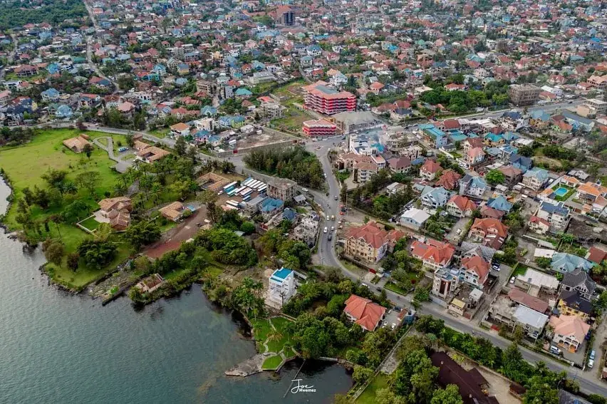
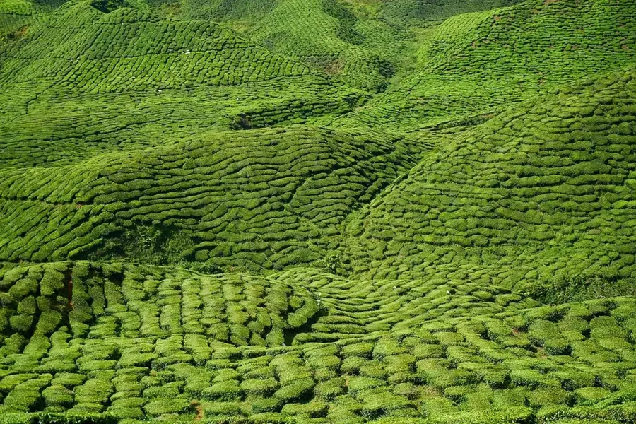
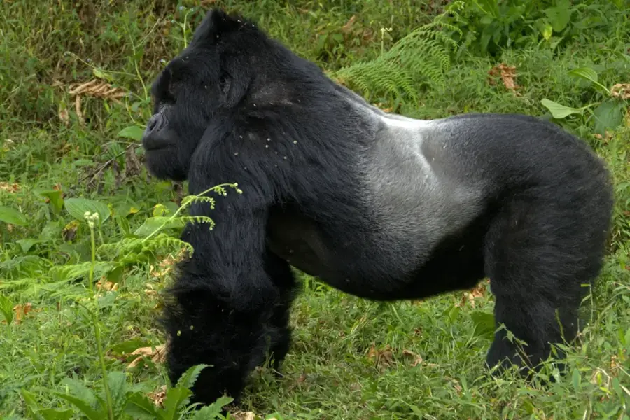
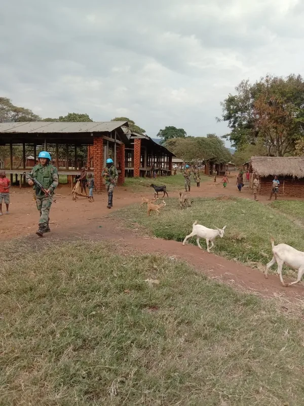
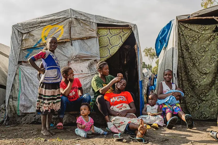
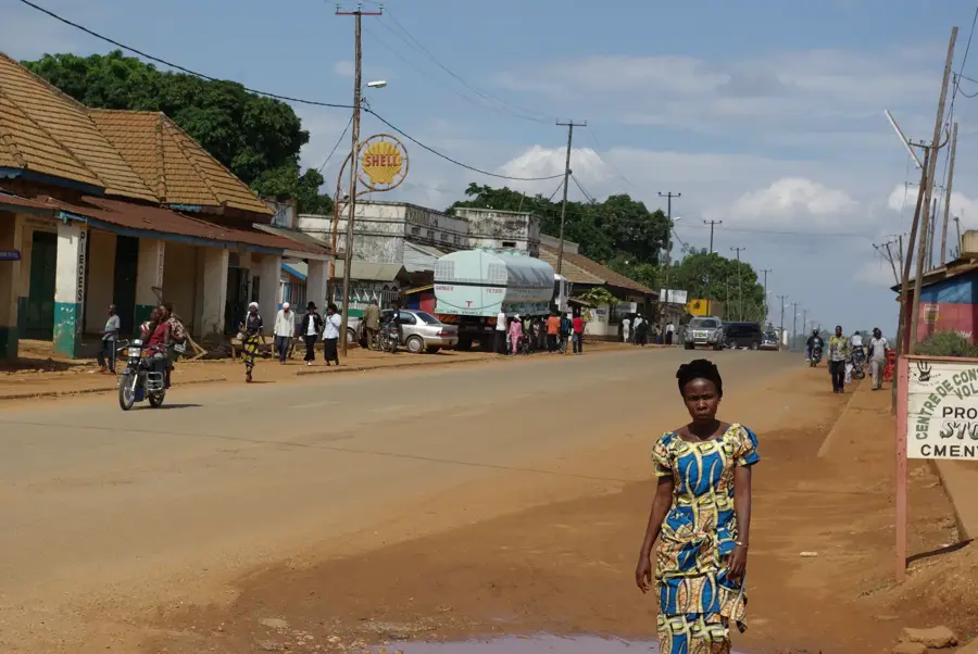
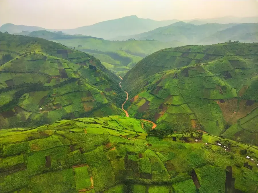
Rutshuru is a major town located in the North Kivu Province of eastern Democratic Republic of the Congo, near the borders with Uganda and Rwanda. The town is situated within the Albertine Rift, surrounded by a spectacular landscape of volcanoes and fertile valleys. Rutshuru serves as a vital agro-economic hub, as the region's volcanic soils provide excellent conditions for cultivating coffee, tea, maize, and beans. Its proximity to Virunga National Park makes the town a potential gateway for tourism, although security concerns often limit such activities. Historically and politically, Rutshuru is a location of great significance, frequently positioned at the center of regional tensions and armed conflicts. The population is comprised of farming communities that maintain productive agriculture despite the challenging environment. Rutshuru also features notable waterfalls in its vicinity that are utilized for hydroelectric power generation. The town remains a key factor for the economic stability of the Kivu region.
- Location: Congo - Kinshasa
- Nearby: Virunga National Park (66 km)
- Population: ~82.680 (2023)
Best time to visit & climate
The most pleasant time to visit is Jan, Jun, Jul.
| Jan | Feb | Mar | Apr | May | Jun | Jul | Aug | Sep | Oct | Nov | Dec | |
|---|---|---|---|---|---|---|---|---|---|---|---|---|
| Avg °C | 21 | 22 | 21 | 21 | 21 | 21 | 21 | 22 | 21 | 21 | 20 | 20 |
| Rain mm | 87 | 91 | 147 | 136 | 112 | 63 | 47 | 91 | 134 | 172 | 170 | 111 |
Geography
Facts
- Located in the Albertine Rift near Virunga National Park
- Center for the cultivation of Kivu Arabica coffee
- Administrative capital of the Rutshuru Territory
- Features highly fertile soils of volcanic origin
- Strategic road junction on the route to Goma
- Home to the Rutshuru hydroelectric power station
Explore nearby
Notable places around
Route planner — Car & Motorhome
Where do you start? We build the route here, with stops and country notes along the way.
© OpenStreetMap contributors · OpenRouteService
Sights in the town Rutshuru (1)
Frequently asked questions
Why is Rutshuru touristically relevant?
Can you see gorillas from Rutshuru?
What is the weather like in Rutshuru?
Which volcanoes are nearby?
Are there hotels in Rutshuru?
Rutshuru: where is it located?
Rutshuru: when is the best time to visit?
Rutshuru: why is it worth visiting?

Nearby cities

History & landmarks


More places