Plizio Visual Lab
Mount Aýrybaba

Weather…
Water temperature…
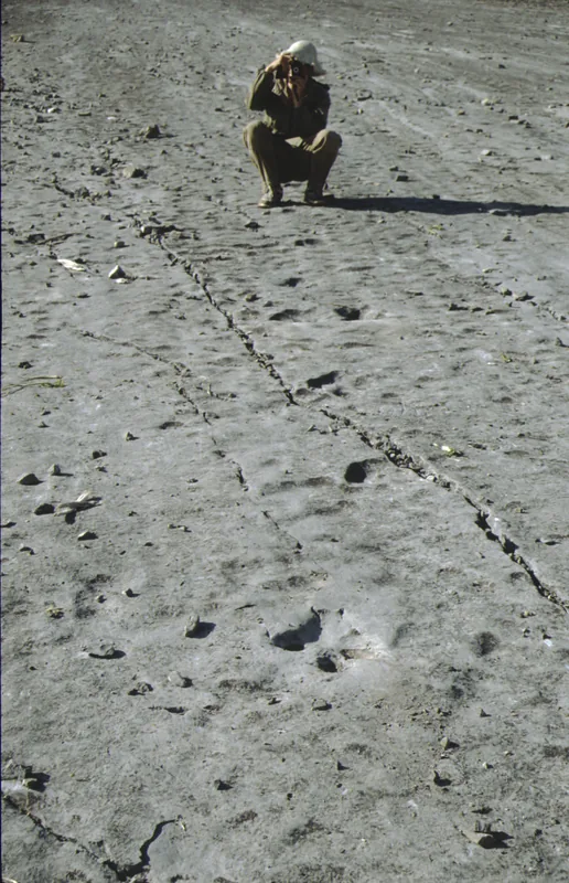
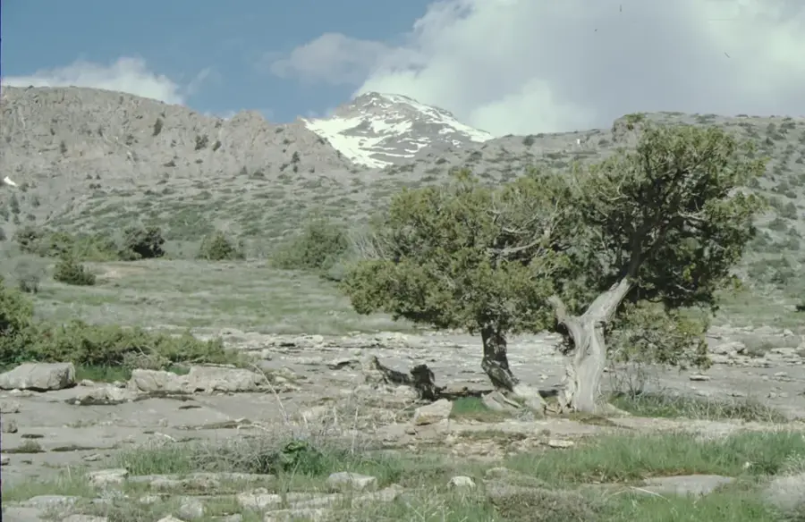
Mount Aýrybaba, officially renamed Beýik Saparmyrat Türkmenbaşy belentligi in 2004, is the highest peak in Turkmenistan, reaching an elevation of 3,139 meters. Located in the Köýtendag Range in the far east of the country, it sits directly on the international border with Uzbekistan. The summit is often covered in snow for most of the year, providing a stark contrast to the surrounding desert plains of Central Asia. Geologically, the massif is composed of Upper Jurassic limestones, known for their rich fossil deposits and extensive karst formations. The slopes are home to unique flora, including rare orchids and ancient juniper forests that have adapted to the high-altitude climate. The mountain serves as a critical habitat for the endangered Markhor goat and other rare alpine wildlife. Beyond its geography, Aýrybaba holds significant spiritual importance for local people, who consider it a sacred site.
- Location: Turkmenistan
- Top sights: Aýrybaba · Koytendag Nature Preserve · Ayribobo (Beýik Saparmyrat Türkmenbaşy)
- Nearby: Koytendag (10 km)
Best time to visit & climate
The most pleasant time to visit is May, Aug, Sep.
| Jan | Feb | Mar | Apr | May | Jun | Jul | Aug | Sep | Oct | Nov | Dec | |
|---|---|---|---|---|---|---|---|---|---|---|---|---|
| Avg °C | 2 | 4 | 10 | 16 | 22 | 27 | 29 | 27 | 22 | 15 | 8 | 3 |
| Rain mm | 27 | 34 | 33 | 29 | 12 | 2 | 0 | 0 | 0 | 5 | 23 | 23 |
📋 Practical info
Geography
Facts
- At 3,139 meters, it is the highest peak in Turkmenistan's entire territory.
- The mountain is located within the administrative boundaries of the Köýtendag Reserve.
- Its official name was changed in 2004 to honor the country's first president.
- The massif consists of limestone formations dating back to the Jurassic period.
- It provides a vital sanctuary for the Markhor, a rare wild goat species.
- The peak serves as a natural border crossing point between Turkmenistan and Uzbekistan.
Explore nearby
Notable places around
Route planner — Car & Motorhome
Where do you start? We build the route here, with stops and country notes along the way.
© OpenStreetMap contributors · OpenRouteService
Sights in the town Mount Aýrybaba (4)
Sights nearby
Frequently asked questions
How high is Aýrybaba?
Is climbing it suitable for beginners?
When is the best time to climb the mountain?
What is the biggest danger on the mountain?
Does one need special equipment?
Mount Aýrybaba: where is it located?
Mount Aýrybaba: what is there to see?
Mount Aýrybaba: when is the best time to visit?
Mount Aýrybaba: why is it worth visiting?

Nearby cities


History & landmarks

Nature
More places